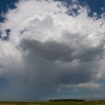
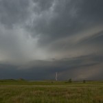
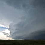
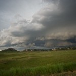
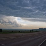
I left Brush, Colorado and headed north and west to Pine Bluffs, Wyoming. Cumulus was building west and northwest and I drove north about 12 miles finding a high spot to observe from. For over an hour, I watched as storms attempted to become established, but were quite small and fairly high-based. When one started producing cloud to ground strikes, I started following it, reaching the Nebraska border just east of La Grange. Its life was short-lived and I turned my attention to other storms forming to the northwest. Wireless data became limited and I had to do most of my nowcasting based on what I could see visually. I made it almost to Lusk where a storm that looked impressive was rolling southeastward, but changed my focus to another storm that rapidly intensified northwest of Torrington. This storm rapidly increased and took on a pronounced supercell shape, but also took on a look of being high-precipitation in mode and began surging outflow to the southeast. Still, it was worth following southeastward toward Scottsbluff. I never saw anything that would suggest I would be able to see a tornado with it, but it did have a nice shape for a period. When the rage of outflow approached Scottsbluff and there were reports of extremely large hail coming in, I started south to get out of the way. I stopped for a few other shots on the way to Kimball where I settled in for the evening. I had higher expectations for the day, but wasn’t too disappointed either.
