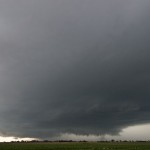
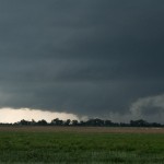
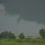
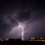
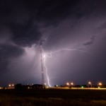
I left southbound out of Limon and expected storms to form off of the Raton Mesa. We did get storms, along with several others on the front range from south of Colorado Springs into Northeast New Mexico. I managed to pick one of the weaker storms of the bunch and followed it all the way to just west of Lamar. It was about this time that I decided to give up on my current activity and shoot for some severe storms further south that were approaching Springfield. Just after heading that way, an isolated supercell storm formed a few miles west of Wiley and started moving very slowly to the north and northeast. This storm had great structure for a period and then seemed to be impacted by a strong region of outflow that surged in from the west. As the storm intensified and the RFD wrapped up as best as it could, a weak tornado was produced just to the northeast of Wiley. This tornado was only on the ground for about 30 seconds. Soon after, the storm began heading downhill with limited structure and a fairly high base. After getting a room in Lamar, storms formed just west of the town that were excellent lightning producers. Viewing this only took a very short trip to the north edge of the city.
