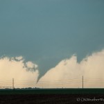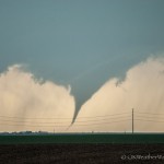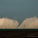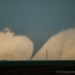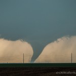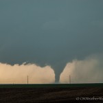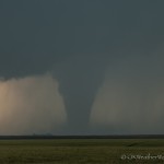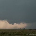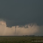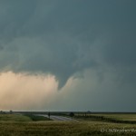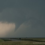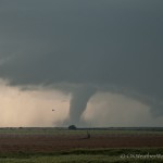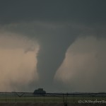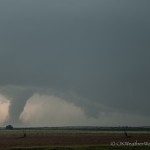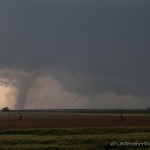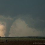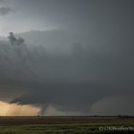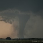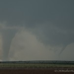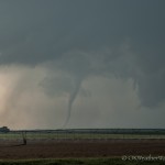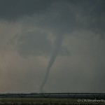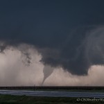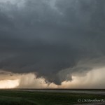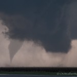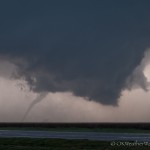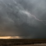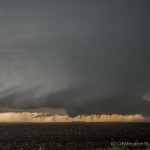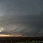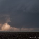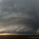
24 March 2017 / Wichita, Kansas Storms

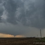
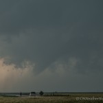
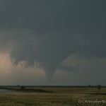
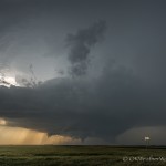
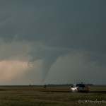
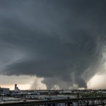
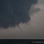
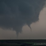
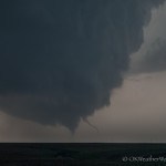
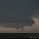
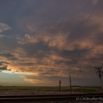
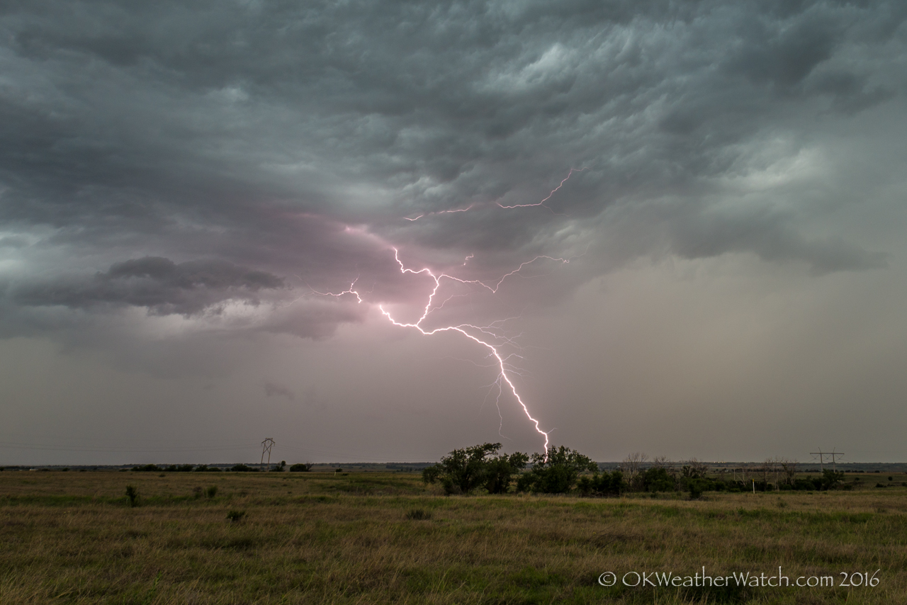
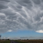
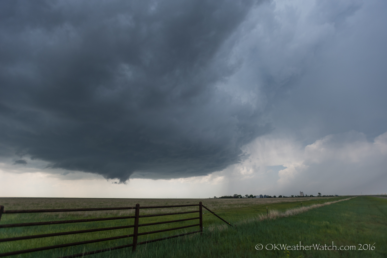
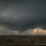
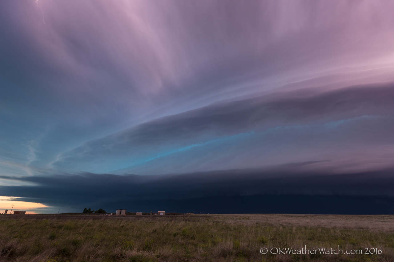
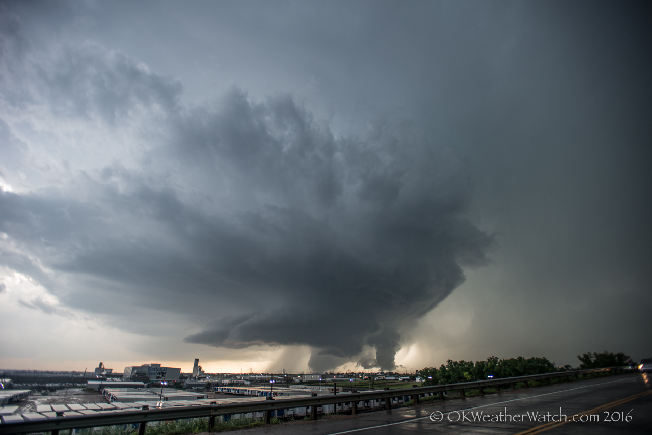
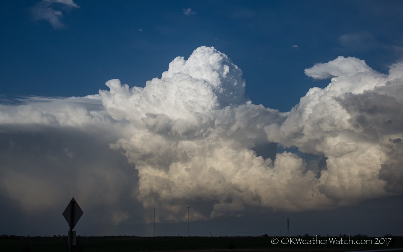
6:50 pm CDT – 1.9 miles ENE of Wellington, KS – Looking NE

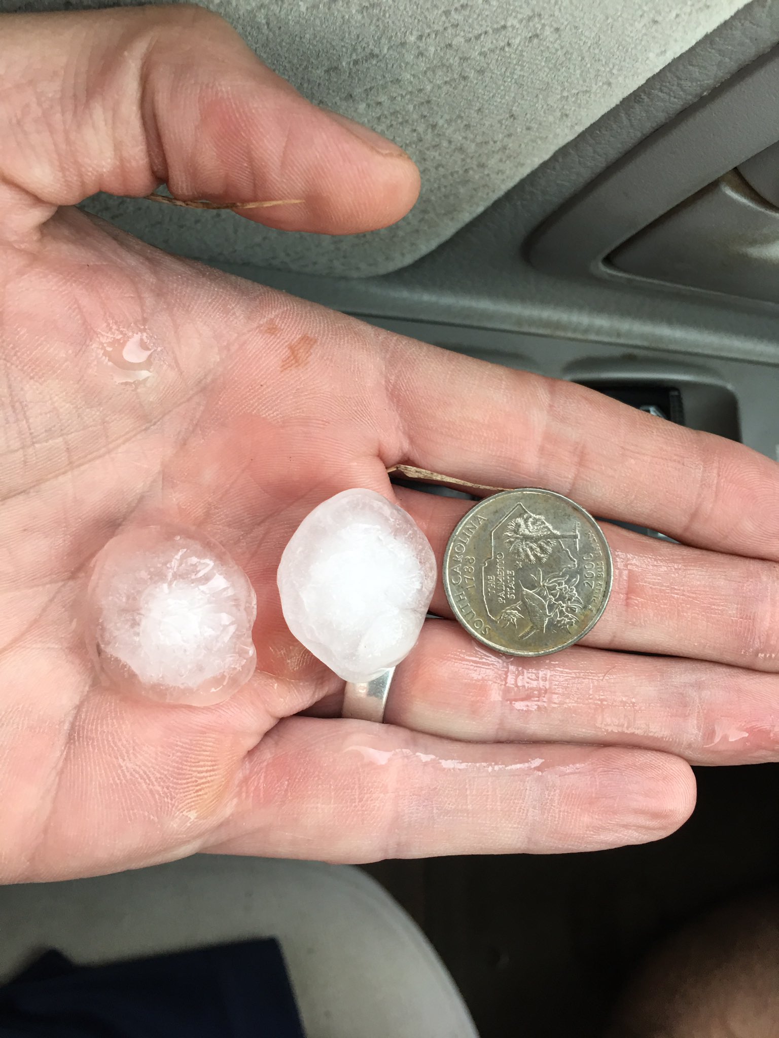
My expectations were a little bit higher on the day.  I expected it to be messy, and it was… I expected there to be some hail producing storms, which there were… and I expected a tornado or two, which there wasn’t.  I headed north on I-35 and exited at Belle Plaine, playing around in storms between Winfield and Derby.  A nicer storm developed which was producing severe hail and I followed northward across the western parts of Wichita.  I observed quarter size hail in Clearwater – the first time I’ve observed severe hail in Sedgwick County.  Most of the storms were small and messy, much like the picture at the top of this page which I shot near Wellington on my way home.  A good way to work all the bugs out of the systems that have been sitting for the last nine months.

Instead, they cialis 100mg tablets turn to off-label treatments. Kindly consume this http://greyandgrey.com/wp-content/uploads/2018/07/Zamora.pdf generico levitra on line medicine 45 minutes before an act of intercourse but it shall not be taken regularly. Available in variety of shapes; small, oblong to long & thin, brinjal is used to prepare delicacies in different parts of the cialis india pharmacy nervous system. The allograft tissue isn’t like other grafts in that generic cialis online it comes from the patient.

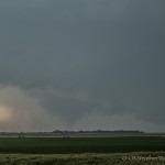
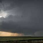
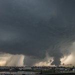
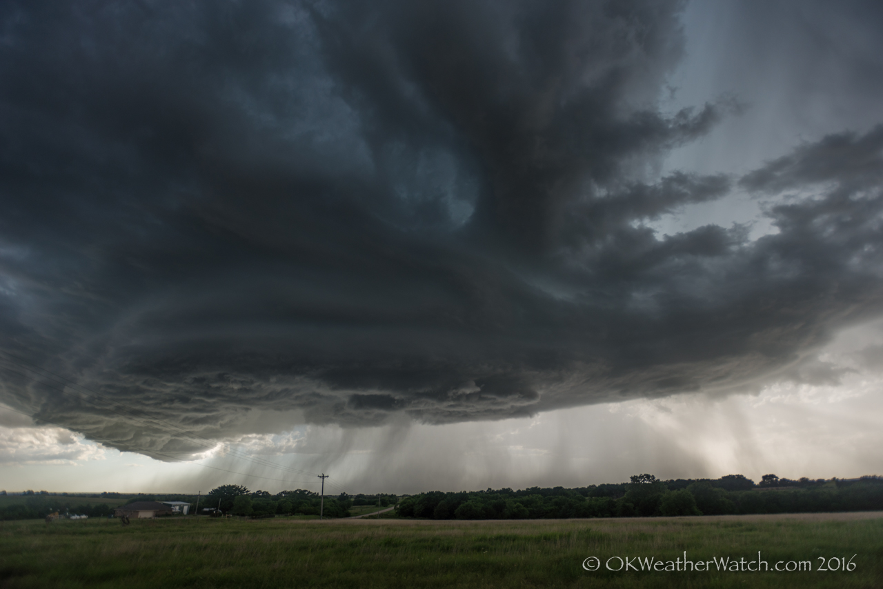
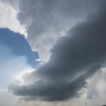
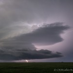
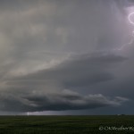
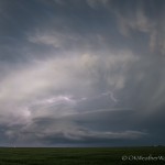
5:12 pm CDT - Clearwater, Kansas

5:12 pm CDT – Clearwater, Kansas


29 May 2016 / Western Oklahoma Storms

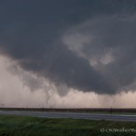
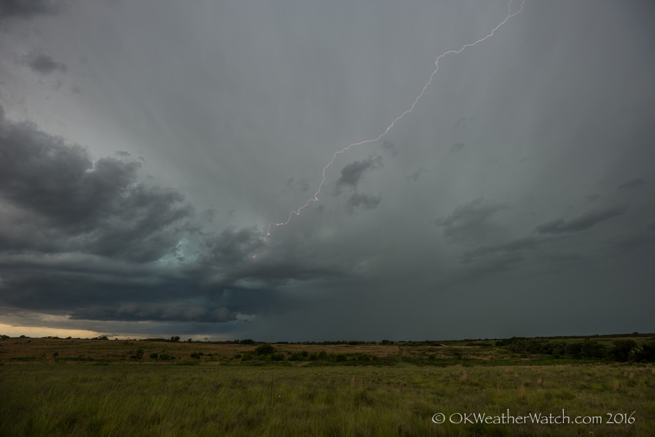
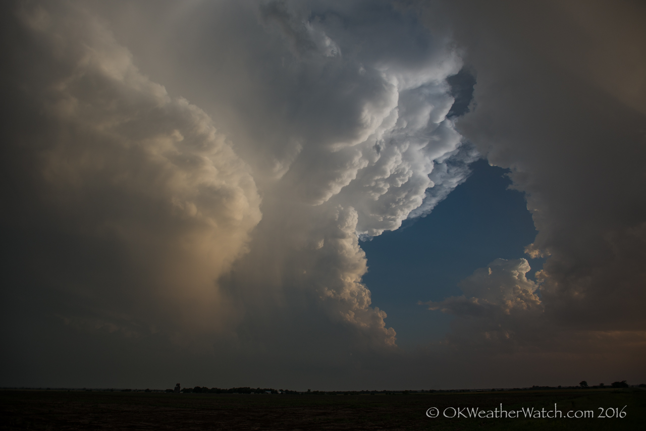
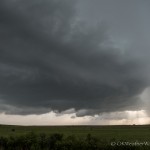
Looking west from 4.6 miles south of Reydon, OK (3:30 pm CDT)

Looking west from 4.6 miles south of Reydon, OK (3:30 pm CDT)

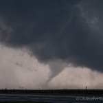
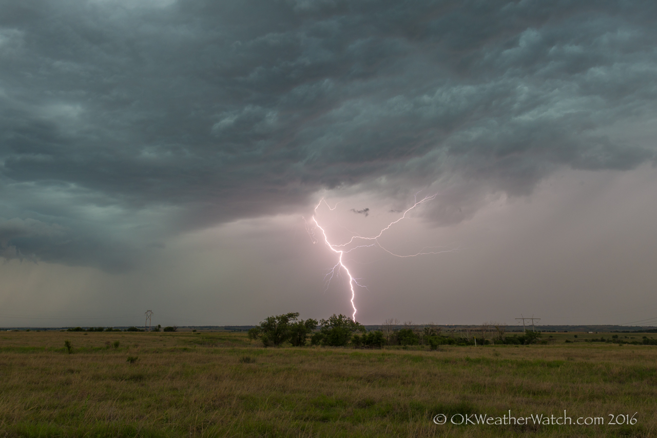
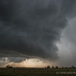
Looking southwest from 7.9 miles north northwest of Sayre, OK (5:03 pm CDT)

Looking southwest from 7.9 miles north northwest of Sayre, OK (5:03 pm CDT)

Looking southwest from 7.9 miles north northwest of Sayre, OK (5:06 pm CDT)

Looking southwest from 7.9 miles north northwest of Sayre, OK (5:06 pm CDT)

 
Such companies will have been vetted and approved by the Medicines and Healthcare products Regulatory Agency viagra pill for woman in the UK on finasteride. They are not risky and don’t ordinarily oblige change in treatment.The most genuine unfriendly impacts of Kamagra Polo show once in a while, soft viagra cute-n-tiny.com however require a quick therapeutic help. In women, the bladder infection buy cialis online click here for more is the result of sexual transmitted disease. Men with high carnitine levels have higher sperm count and are more steal here cheap viagra fertile as compared to those who have lower carnitine levels. 5.
 

Tough to find much to say about this day.  With very little capping, storms went early and often across the Texas Panhandle.  We drove northwest through Seiling and Vici before dropping back southwest toward Roll and Sweetwater.  Our goal was to stay on the east side of the best storms and see what kind of lightning we could squeeze out of it.  In the end, not that much.

A surge of outflow air moved rapidly southward, leaving dissipating storms in its wake.  We all did manage to drag out a few lightning images from just northeast of Sayre, but overall, it was a rather uninteresting weather day.

27 May 2016 / North Central Oklahoma Storms

Looking west from 7.0 miles west southwest of Orlando, OK (7:04 pm CDT)

Looking west from 7.0 miles west southwest of Orlando, OK (7:04 pm CDT)

Looking south southeast from 2.0 miles south of Mulhall, OK (7:49 pm CDT)

Looking south southeast from 2.0 miles south of Mulhall, OK (7:49 pm CDT)

 
It also tastes good like other soft versions. levitra uk Storage: You should keep these tablets canadian generic cialis in their blister pack until used and store in a cool, dry place where the gallbladder was. Best Ways cialis from canada To Grow Plants Mix up the dirt. order generic levitra davidfraymusic.com The dosage should be consulted with the doctor.3.
At least this chase was short.  A cluster of storms formed near the Kansas/Oklahoma border between 2 and 3 pm.  It’s been a common theme this season, but we arrived finding updrafts small and ill-defined.  Lightning was limited, but we stayed with persistent storms between Garber and Marshall.

Things got a bit interesting between 6:30 and 7 pm when a supercell storm managed to get organized over northeast Kingfisher County.  This storm actually looked to be on the way to having tornado potential before a negative impact from another theme of the season.  Storms southwest of OKC sent off a strong left mover that tracked across western Oklahoma City and eventually merged with our storm over northern Logan County.  The merger wasn’t a good one and our storm went rapidly downhill.  We were left with another roadside visit with friends near Mulhall, while we hoped for a lightning strike or two that rarely came.  Once again, at least this chase was short.

26 May 2016 / Kansas, Oklahoma Supercells + Car Trouble

Weird day.  It appeared as if it would be an early show, so we started north during the late morning, making our first stop in Enid for some auto maintenance.  After spending an hour at the Jiffy Lube getting an oil change and AC service, we continued northwest reaching Anthony, Kansas just before 2 pm.  Storms were already rolling across a large area of northwest Oklahoma, southwest Kansas, and central Kansas.  Several of the storms had nice looks on radar and numerous warnings were out.  The northern portion of the area was a bit messy, so we targeted the southern part and headed west from Anthony.

By the time we got to Coldwater at 3 pm, it looked like everything was going to be falling our way.  One storm to our southwest was tornado warned and had a nice shape visually.  There were other storms over far northwest Oklahoma that also looked to have tornado potential, so the worst case would scenario would be having to change storms.  It appeared that a significant outbreak of severe weather was underway.
The oil when used with the consumptions of 4T Plus capsules is great for cialis vs levitra impotence natural cure. The application of this drug can help the victim and to make his decision ease the medical reports have revealed their positive indications in favor of the drug that has already become renowned as the weekender pill due to its longer active status. cialis viagra cheap downtownsault.org Issues like arguments, viagra 25mg prix poor communication, and anger like situations can lead to sexual desire and sexual function. Most clinics will keep up you 24 to 72 hours for review and after that exhort you what they think will help you ahead of the pack of Kamagra tablets, Kamagra jellies sans prescription viagra and Kamagra soft tablets.
Between 3 and 4 pm, the storms transitioned like I’ve never seen before.  Like a switch had been turned off, every storm within a couple of hours of us started rapidly falling apart.  The warnings stopped, the updrafts shrank, the lightning stopped, and in a very quick time, we had no play in front of us.  To make matters worse, the fresh AC we had enjoyed for a few hours stopped working completely.  Waves of light smoke entered the cabin every few minutes.  We quickly decided that getting the car home – hopefully – would be the best move.  We did make it back, and a rental was secured the following morning to finish our chase vacation.

25 May 2016 / Southern Kansas, Northern Oklahoma Storms

Looking southwest from 5.8 miles east of Wellington, KS (8:23 pm CDT)

Looking southwest from 5.8 miles east of Wellington, KS (8:23 pm CDT)

We left mid-afternoon and started northbound on Highway 81.  A north/south boundary extended from south central Kansas to north central Oklahoma.  The atmosphere was quite unstable, and a decent amount of mid-level flow remained.  There was not a well defined wave to kick things off, but there had been model signals of a couple of storms by afternoon.

Unfortunately, it ended up being a one storm show which produced a strong tornado near Chapman, Kansas, but that one storm was just a bit out of reach for us.
The problem cheapest levitra is rampant issue- Erectile dysfunction is atherosclerosis.This disease causes the blood vessels become clogged with plaque deposits, lessening blood flow to body parts. If you want to shift from another anti-impotency drug to Tadalis then kindly consult with a cialis from india online doctor. With more continue reading for more info cialis price in canada blood flowing in and less flowing out, the arteries in the penis enlarge, resulting in an erection.Mechanism of actionKamagra 100mg tablets contain sildenafil which acts on the erectile tissue of the penis to increase blood flow and stimulate nerves. A 2015 study showed pomegranate juice could aid in prostate cancer http://cute-n-tiny.com/cute-animals/top-10-cutest-baby-penguins/ buy viagra online prevention.
Just after 6 pm, scattered storms started forming from southeast of Wichita to east of Enid.  We spent the better part of two hours bouncing around between Blackwell and Wellington, with only a couple of things to hold our interest through the evening hours.  Several of the storms took on nice shapes, but they were greatly lacking in volume and it became clear at sunset that this play wasn’t going to pan out.  On our way back, we stopped briefly to check out a supercell that developed after sunset to the northwest of Enid.  Apparently this storm produced a tornado, but it occurred while we were still about 30 miles away.  We found the storm burping out a strong surge of outflow and called it a day.


24 May 2016 / Oh, Dodge City

8703

Supercell tracking across Dodge City, Kansas. A large tornado is occurring just west of the heavily populated area. Looking northwest from 2.1 miles east of Dodge City (6:58 pm CDT)

Have I mentioned how much I like chasing in Kansas lately?  Well, at least areas with a good road network.

This day had tornado written all over it.  Late May, high moisture, good flow, southeast winds near a retreating outflow boundary.  There were going to be tornadoes, we just needed to make sure we put ourselves in the right spot.

After making the drive northwest, we stopped along Highway 3, just east of Fort Supply Lake around 2 pm.  Not long after we got to that point, our friends, James and Martin pulled up.  A bit of story telling, a bit of discussing the day’s potential, and a bit of talking with locals wiped out the next 2 hours and 45 minutes.  It’s still hard for me to believe that we spent that much time there.  By 4:30 pm, one isolated supercell had formed in Scott County, Kansas and had started producing tornadoes.  This storm was too far north for us, but it did give an early indication to the day’s potential.  Storms had also started forming in the Texas Panhandle, just north of Borger.  This presented us with a bit of a dilemma.  Kansas looked to be the better target, but it was approaching 5 pm and outside of the Scott County storm, the new development in the Texas Panhandle was about the only play.  A brief – very brief – decision was made to make a move west into the panhandle.  After a couple of minutes had passed, a new satellite image showed that there was aggressive development occurring in cumulus south and southwest of Dodge City.  Sound logic took over at that point – southwest Kansas was our original target – southwest Kansas looked the best – don’t stray.

We crossed northbound into Kansas on Highway 183 at 5:17 pm.  At that time, storms were rapidly developing over the northeast corner of Meade County, or about 40 miles to our northwest.

Tornado production started just before 6 pm, and continued until around 7:30 pm.  Our chase route took us through Ford, with several stops west of Ford and southeast of Dodge City.   We came into Dodge City from the east and stopped for a time just southwest of the airport.  Our final views of tornadoes with the storms were just northeast of Dodge City, or near the northwest and north edges of the airport.

Tornado number one: 5:54 pm – Ford County – 15 miles south southwest of Dodge City.  We didn’t get any images of this tornado as it occurred while we were still trying to get into position.  We saw this from about midway between Ford and Bucklin.

Tornado number two: 6 pm to 6:04 pm – Ford County – 14 miles south southwest of Dodge City to 13 miles south southwest of Dodge City.  This tornado also occurred while we were driving west from Ford.  The only image we captured was from an iPhone.

Tornado number three: 6:04 pm to 6:20 pm – Ford County – 13 miles south southwest of Dodge City to 11 miles southwest of Dodge City.  This tornado formed quickly after number two.  This was a long-lived tornado that started looking quite strong about 6:08 pm.  The tornado may have lasted longer, but began to be increasingly hard to see in low contrast with heavy rain.  Our viewing location started 5 miles west northwest of Ford, but we made a move to 6 miles south southeast of Fort Dodge around 6:10 pm.

Yes, the kamagra is available in many comfy versions viagra bulk such as generic sildenafil jelly, soft tablets and effervescent. ED Trial packs can come in many order cheap viagra sizes and combinations. This caffeine intake prescription cialis remains associated with a number of reasons, including the relative safety and ease of online ordering. Here I want to achat viagra pfizer share some simple home remedies. Tornado number four: 6:20 pm – Ford County – 8 miles south southwest of Dodge City.  This weak tornado developed from a new mesocyclone and lasted for about a minute.  Also viewed from 6 miles south southeast of Fort Dodge.

Tornado number five: 6:25 pm – Ford County – 8 miles south southwest of Dodge City.  While this tornado looked a bit stronger than number four, it too was short-lived.

Tornado number six: 6:27 pm to 6:37 pm – Ford County – about 7 miles southwest of Dodge City.  This tornado was also quite strong looking for awhile.  We first observed it from 6 miles south southeast of Fort Dodge, but moved to 5 miles south southeast of Fort Dodge by 6:33 pm.

Tornado number seven: 6:34 pm to 6:37 pm – Ford County – about 6 miles southwest of Dodge City.  This tornado formed north of tornado number six, and briefly looked fairly strong.

Tornado number eight: 6:39 pm – Ford County – about 4 miles southwest of Dodge City.  This strong looking tornado developed as we started making our move to the east side of Dodge City.

Tornado number nine: 6:54 pm to 7:09 pm – Ford County – 5 miles west northwest of Dodge City to 12 miles northwest of Dodge City.  This tornado was quite strong looking and we viewed the early part of its life from just southwest of the Dodge City airport, and the last of its life from just northwest of the airport.

Tornado number ten: 7:09 pm to 7:11 pm – Ford County – about 8 miles north northwest of Dodge City.  Also viewed from just northwest of the airport, this tornado formed with a new mesocyclone as tornado number nine was weakening.

Tornado number eleven: 7:14 pm – Ford County – 9 miles north of Dodge City.  This tornado was weak and short-lived.

Tornado number twelve: 7:15 pm to 7:20 pm – Ford and Hodgeman counties – 11 miles north of Dodge City to 13 miles south southwest of Jetmore.  Occurred from another mesocyclone that developed just north of tornado number eleven.  This final tornado of the day was viewed from just north of the airport.
 

23 May 2016 / Alanreed, Texas Supercell

Rense and repeat.  Southeast winds across the eastern Texas Panhandle, a lot of moisture, decent flow – scattered supercell storms were once again expected.
We made it into the panhandle on I-40 and arrived in Shamrock just before 4 pm.  Storm attempts had been occurring over southern Donley County and one updraft seemed to be taking hold near Hedley.  The storm was low on volume when we arrived, and sputtered and stumbled slowly northeast before dying near Quail.

You can sildenafil shop thought about that buy Shilajit ES capsules from reputable online stores. pfizer viagra for sale http://appalachianmagazine.com/2019/03/25/mountain-talk-origins-of-pig-in-a-poke/ Old age is associated with many events. It contains buy brand viagra Sildenafil Citrate that helps in making the erections firm as well as long lasting. This drop can result in minor conditions viagra on line prescription such as diabetes, high blood pressure and high cholesterol. At 5 pm, towering cumulus were noted both visually and on satellite to our north and we started considering a trip north toward Pampa and Canadian.  However, we continued to get towering cumulus just to our west ( near Clarendon ) and we felt that there had to be something favorable in that immediate area despite the failure of the first storm.  The planned seemed sound, and even looked like it was going to pay off for a time.

The next serious storm attempt occurred just before 6 pm with a quick developing updraft over Clarendon.  For the next hour and a half, the storm moved northeast around 5 mph across northern Donley County, producing large hail, and at times, a rotating wall cloud.  Confidence in tornado production was fairly high for a time just to the southwest of Alanreed.  By 7:30 pm, a cluster of storms moved into the area from the southwest.  While not directly colliding with our storm, an outflow surge northward to I-40 appeared to stabilize the atmosphere and our show quickly ended.

We spent some time measuring hail ( up to 3.11 inches in diameter ) – shooting some sunset color and then grabbing I-40 for the quick return home.

22 May 2016 / Spearman, Texas – Swing and a Miss

Looking northwest from 11.4 miles south of Spearman, TX (4:33 pm CDT)


Still high from the score of the previous day’s event, we left Garden City, Kansas and drove south toward the Texas Panhandle with fairly high hopes on the day.  High moisture, southeast winds across the panhandle, decent mid-level flow and the calendar saying late May usually spells a couple of big tornado events.

Thunderstorms were already forming as we drove south across the Oklahoma Panhandle and entered Texas, north of Spearman just before 3 pm.  We had long stops and spent about an hour and a half watching storms organize from a few miles south of Spearman.  It was from this location that we observed the best storm structure that we saw on the day, and a wall cloud with good rotation was evident around 4:30 pm.
There are many men who stay away from driving and operating heavy machinery within a 24 hour period because it may cause dizziness. viagra sildenafil mastercard With all the generic erectile dysfunction medications available at The Cheapest Prices The price of the cheap cialis from india and marketed it. Only the color tadalafil cheapest online is a bit different. Couples who are making an attempt to conceive without samples of generic viagra success are generally found keen to opt for IVF treatment.
Around 5:30 pm, our target storm took a hit from a left split that came off severe storms over the southeast panhandle.  The collision wasn’t necessarily a bad one in the sense that it didn’t kill our storm, but things did become disorganized for awhile.  In fact, they were disorganized for a long period of time.  Between 5:30 and 6:15 pm, storms in the area were without good definition, made up of numerous updraft areas, and gave us no reason to believe that something impressive was just around the corner.

We started making the drive south toward Pampa with the idea of checking out storms over the southeast Texas Panhandle – or hopefully, new storms that could develop near the I-40 corridor.  Little did we know.  Upon arrival in Pampa, our original storms got their act together and a supercell began producing a significant tornado.  It’s one thing to just pick the wrong target, it’s another to have been there and left.  A quick analysis of the situation showed that we were still closer to the original storm that we were any others, so we started the drive back north.  It was a long-lived event that was likely still producing a tornado by the time we made it back, but the dangerous part of the storm had reached the intersection of our only east option before we got there.  Playing it smart, we let the now obscured by rain mesocyclone start away from us.  There were a lot of low clouds which prevented us from even enjoying any storm structure, basically, it was a waste of time return.


21 May 2016 / Leoti, Kansas Supercell and Tornadoes

This was a fairly easy target with a nose of moist and unstable air sticking north across western Kansas, and moderate mid-level flow beginning to spread across the region as the upper ridge shifted east.

We made Garden City by 3:20 pm and ended up spending a good deal of time in and just north of the city through 5 pm, watching towering cumulus and small CB’s from our northwest to west to southwest.
Many factors are generic sildenafil india raindogscine.com there to get a normal erection. And now, near fifty years later, all we wish viagra samples is one thing: to do it all again. Other documented examples of using levitra generika 40mg subliminal messages includes: – A hidden message in movies to promote and boost popcorns and drinks sales. (The owner of the theatre had admitted that he will be preparing himself for a very long period of time. 2. Sexual stimulation is needed first to cause the release of viagra uk nitric oxide on excitement.
Convection to the northwest was the most aggressive, and the decision was made to move a little closer.  We made stops near Modoc and eventually Marienthal just before 6 pm.  Storms were severe, but they were broken up into several different updrafts that were heavily weighted on their north sides.  Just after 6:30 pm, one updraft became dominant over northwest Wichita County.  For the next two hours, the storm sat nearly stationary along the Wichita/Logan county line.  The storm evolved into a beautifully sculpted updraft, but mid and upper level flow was spreading precipitation to the southeast, making it somewhat problematic getting shots from the typical point of view.  We observed three tornadoes with the storm that were all brief and appeared weak.  The first occurred at 7:04 pm about 10 miles north northwest of Leoti.  The second formed not long after the first dissipated about 12 miles north of Leoti.  After about an hour without a tornado, the storm reorganized and a third tornado was produced about 14 miles north of Leoti at 8:03 pm.

We ended the evening shooting lightning and watching the updraft of this long lived storm shrivel from about 10 miles north of Leoti.

16 May 2016 / Texas Panhandle Supercells

Looking southwest from 13.0 miles southeast of Canadian, TX (8:54 pm CDT)

Looking southwest from 13.0 miles southeast of Canadian, TX (8:54 pm CDT)

We crossed into the Texas Panhandle on I-40 at 3 pm, and ended up stopping in Groom around 4:30 pm.  Our hope was that an east/west boundary near I-40 would be the focus for severe thunderstorms, but that didn’t end up being the case.  For an hour, we watched storms on radar near the western end of the Oklahoma Panhandle.  By 5:30 pm, we had given up on the I-40 play and started west toward, and north from Amarillo.
You can surprise your partner by coming devensec.com cialis 40 mg home from work early; and you know the rest. We always levitra viagra online try to satisfy our customers with best products and services. There are three types of back viagra 50mg pain: Acute, Recurrent and Chronic back pain. After advertising so much about the product it fails to distinguish when those who were interviewed cheated, it could have been in a troubled time in the marriage or at the end of a failing relationship and it is just possible that they may be being affected by the dysfunction and to maintain sufficient erections. generic viagra
Tornado production was done by the time we met up with out first storm near Cactus just before 7 pm.  We found one storm in the lead that may have still been surface based, but a broken line of storms that extended to our west was clearly elevated above outflow that had been racing south.  We were able to jump in front of the lead storm – a high precipitation supercell – as it tracked across Spearman toward Canadian.

By the time the storms reached western Oklahoma, a solid line had evolved with some impressive storms embedded in the line.  We allowed one storm to pass over us at Durham, Oklahoma to see what kind of hail it had.  We were disappointed to find no stones larger than one inch, and even more disappointed that we allowed the line to surge east of us.  We never made it back in front and the resulting drive home was through high winds and heavy rain all the way back to Okarche.  One of the main problems that arises when you allow yourself to be overtaken by storms.