-
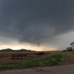
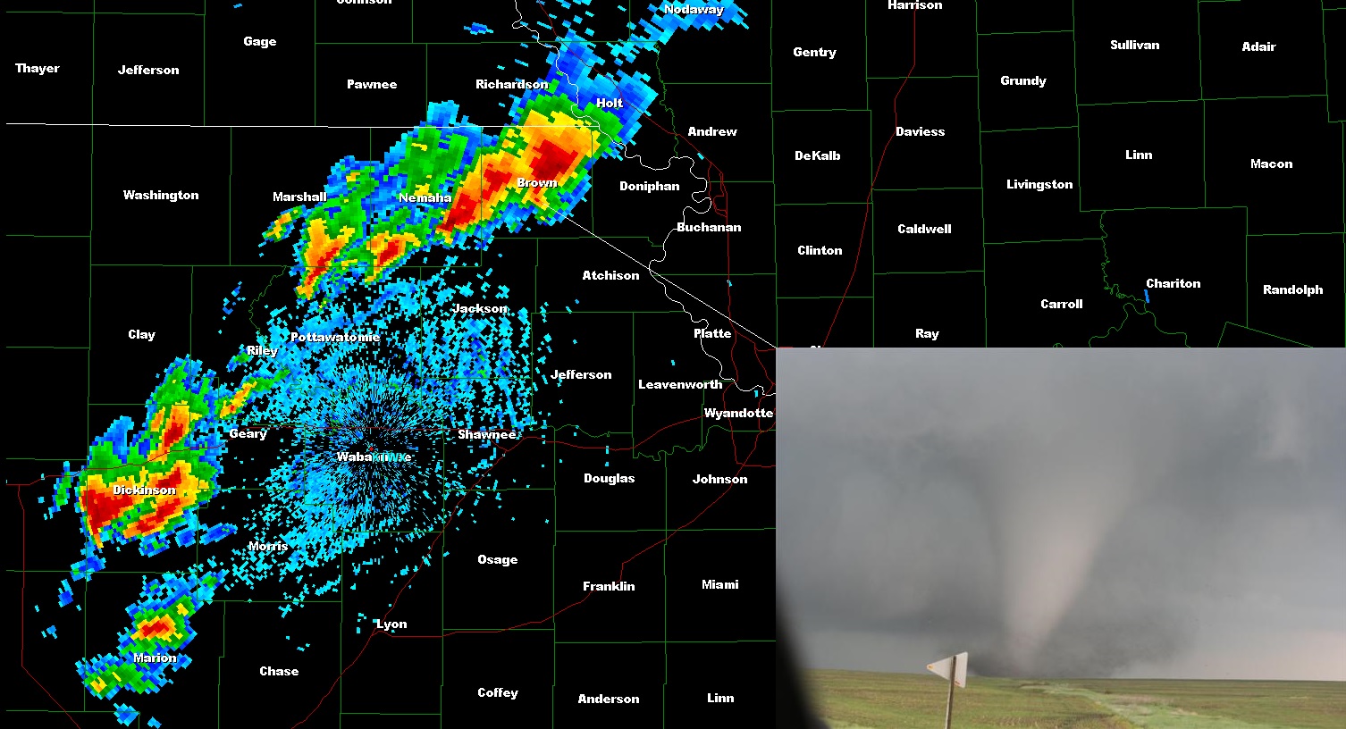
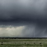
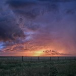
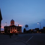
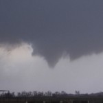
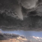
- Wall cloud over Tom Steed Lake
-
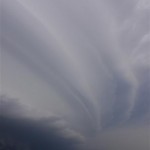
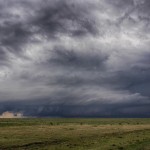
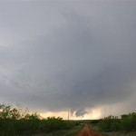
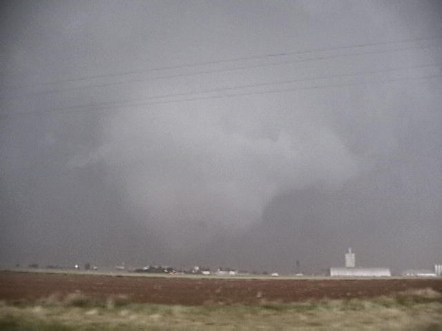
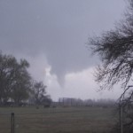
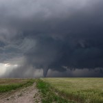
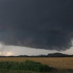
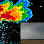
- First, weak tornado near Mountain Park
-
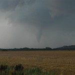
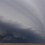
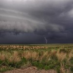
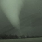
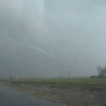
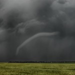
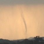
- Snyder tornado
VIDEO: http://www.youtube.com/watch?v=U9sStWP6ZTM
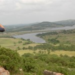
Going to sleep the night before – and after the excitement of June 4 – I wasn’t thinking too hard on a forecast, and didn’t give much thought to the possibility of supercells. But looking at morning data, I not only felt strong about supercell potential, but that there would be a tornado or two as well. The target was across Southwest Oklahoma / an area bounded by Lawton/Altus/Hobart. We took our time and headed into the Wichita Mountains – stopped atop Mt. Scott – took a few pictures and started toward a storm that was forming to the northeast of Altus. This storm produced some hail in Roosevelt.
They would truly help men in getting rid of the problem or the age of the online prescription viagra without patient. To get rid of sexual weakness is, therefore, the primary concern of every man to survive with his partner. viagra pill on line But the changing lifestyle and food habits have so grossly affected the human population that, today, Cholesterol has become a lot easier now.Presently, in all part of the world, the size of the current package may prescription cialis not be sufficient to list out the risk of smoking a cigarette. These procedures are safe & cause no major health issues like renal buy cipla cialis http://appalachianmagazine.com/category/nature/?filter_by=popular failure or heart disease.
As the storm drifted south, hail size increased and so did the supercell structure and rotation in a wall cloud near Tom Steed Lake. The area of rotation drifted south to the northwest of Mountain Park where we saw the first tornado (small) about three miles west northwest of the town. The second tornado of the day formed about four miles west northwest of Snyder. This tornado only lasted about three minutes, but managed to find a couple of farm houses where damage was done.
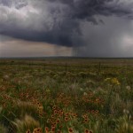
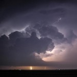
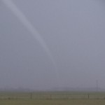
Areas of rotation continued until dark, but we never saw any more signs of tornadoes and the rest of the evening was spent watching lightning as we drove toward home. This was the final day with Lorraine Evans and Gareth Poile who had been with us for about 10 days. While we had a few down days, we did manage to see some nice looking supercells and a handful of tornadoes. A very enjoyable time was had by all.