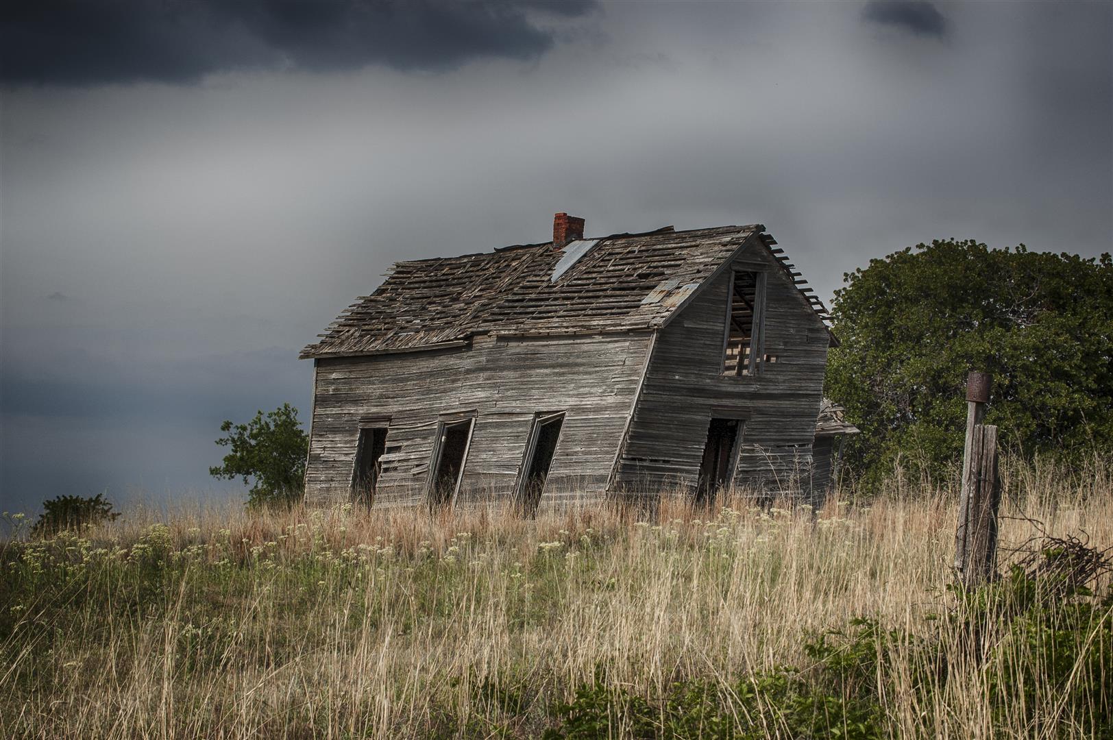
This day was expected to be a lot more, and we got a lot less than some of the previous chases so far this year. Doug and I left the house on a fairly short trip to the dryline which was just west of Highway 81, where supercell storms were expected to develop. There was high instability and excellent shear in place – and bubbling along the dryline when we left. The CU and TCU started going rapidly downhill shortly after we departed and a dense layer of high clouds overspread our target area. One small CB was evident to our northwest for a time and produced an echo on radar, but weakened about as quickly as it appeared. We spent a few hours driving some back roads in the area on the way back which provided a few photo opportunities – otherwise, the lackluster severe weather season continued its pace.