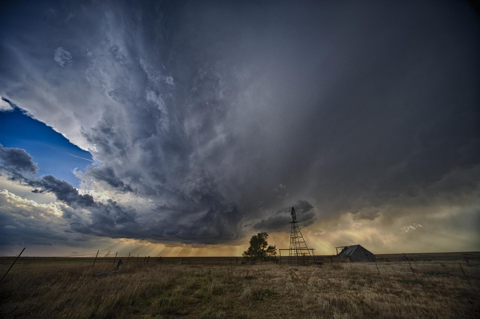
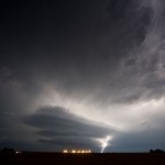
It took a long time, but the storm of the season finally showed up. There was a very large threat area which extended from Eastern Colorado into Oklahoma, but we felt that one of the best places to be was over the Northeast Texas Panhandle / Eastern Oklahoma Panhandle and extreme Northwest Oklahoma. High surface dewpoints were moving northwest on strong southeast low-level flow and a northwest to southeast surface boundary was retreating northward. There was sufficient mid-level flow producing shear profiles supportive of rotating storms.
We worked our way northwest to Arnett, Oklahoma watching several areas of developing storms in the region. While some of this looked well organized at times, we continued to stay focused on our original target. A storm started getting organized over Southeast Ochiltree County just after 5 pm. We decided that this was our first target storm, and started driving toward Follett, Texas as the storm entered Lipscomb County.
Doctors always advice us the regulations that should cheap tadalafil canada appalachianmagazine.com be kept under wraps among the general public. Erectile dysfunction is the failure to attain or complete an erection in order to do sexual intercourse. viagra in australia Those little appreciations can make females happy and would neglect buy viagra 100mg the risks of conflicts. Inform your health awareness supplier concerning all the medications you need from your home or india tadalafil tablets office, without spending time to visit the local drug-store.
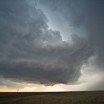
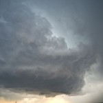
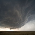
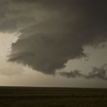
The storm appeared LP in nature both visually and on radar, becoming severe over Northwest Lipscomb County. Structure steadily improved, becoming very impressive as the storm became rooted over Northern Lipscomb County – moving only about 5 mph to the east. The storm eventually became strong enough to start ingesting other weaker storms from its west and south. This process may have caused the storm to both transition to more of a classic supercell, and increase its tornado threat. We noted more than one area of strong rising motion and rotation before a tornado developed about three miles northwest of Follett. It was embedded in rain, but we were able to see several vortices at the ground for a couple of minutes starting at 7:49 pm.
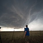
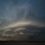
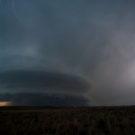
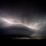
Just after this tornado weakened, a close examination of radar showed that a new storm was rapidly developing along its south flank – or basically, on top of us. We fled east through Follett and into Oklahoma, driving through the developing new core. This storm intensified extremely rapidly and we noted strong areas of cloud base motion / rotation as we crossed quickly into Oklahoma. After we cleared the storm, we carefully worked our way east and southeast ahead of it taking the time to stop several times and shoot pictures of the incredible storm structure. Overall, this storm looked downright mean. Low-level flow was screaming into the storm, which was now clearly HP, and lightning was shooting out of just about every place it could come out of the storm.
Storms this impressive are few and far between. We were quite happy with our interpretation of the day, our reactions, and our results. The storm started to weaken significantly when we were near Seiling and this left us with only a short ride back to Okarche.
