This day was one of the small few that showed some pretty nice potential. With a retreating outflow boundary across northwest Oklahoma and nicely backed, moist flow on the north side of it, it had the makings of a tornado day. I got a bit of a late start which eliminated any chance at seeing the tornadoes which occurred near Dodge City – but I doubt I would have made it there anyway.
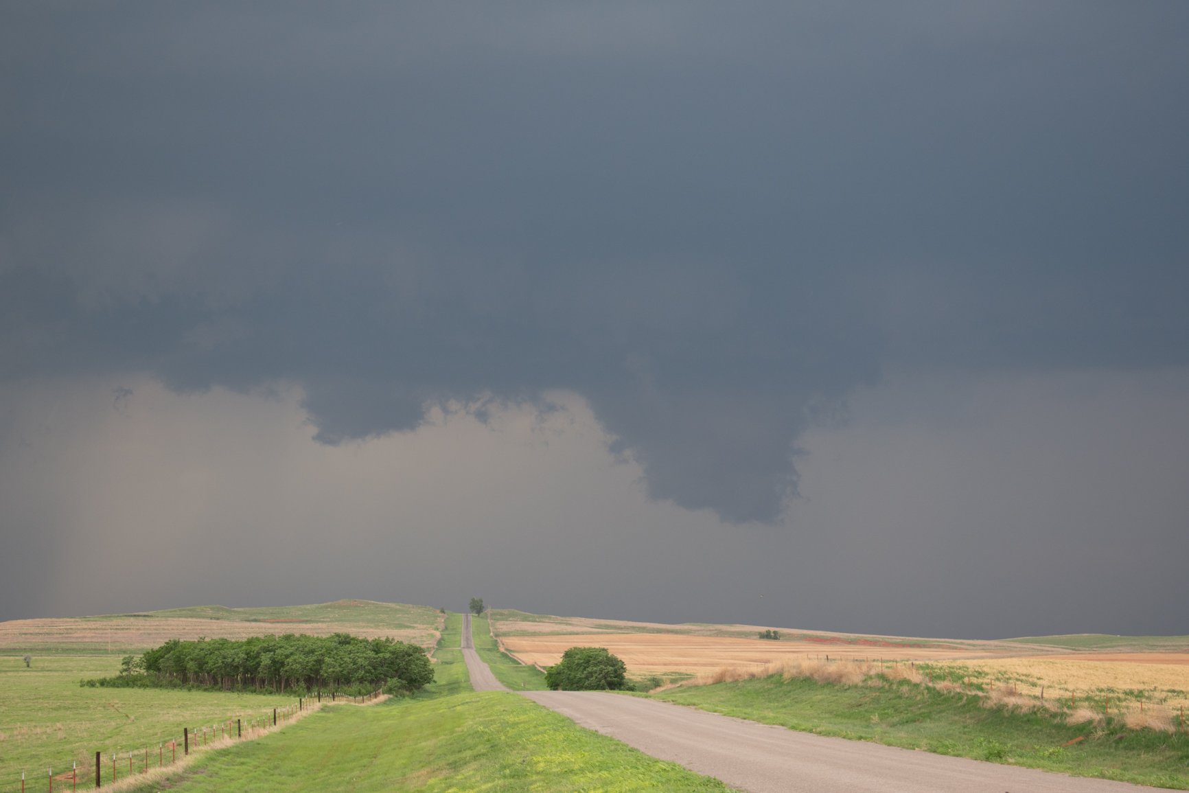
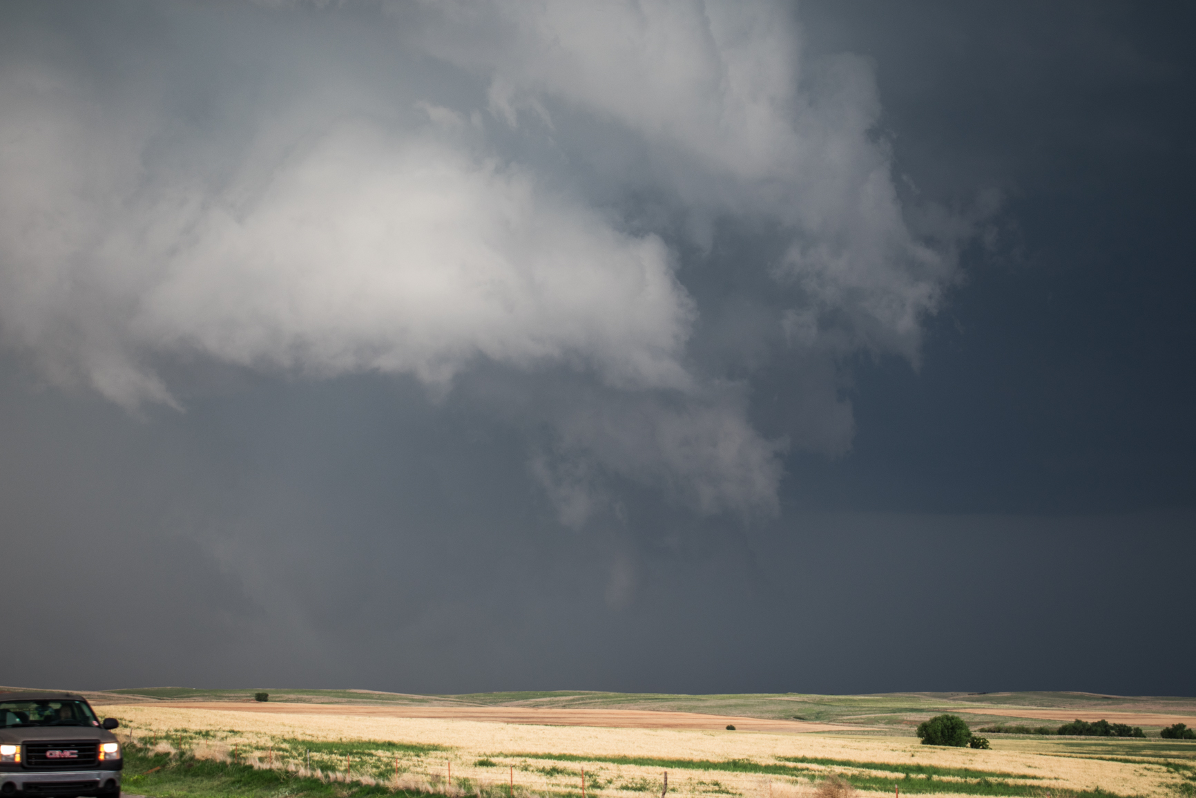
A storm developed along the Kansas/Oklahoma border northeast of Buffalo and steadily organized into a supercell while remaining nearly stationary. It seemed in the perfect spot to become a tornado producer. We spent a good amount of time viewing this storm along and north of Highway 64 from just east of Buffalo to northwest of Freedom. There were periods that wall cloud features were demonstrated, but motion in these features was never strong enough to make you think that something was imminent:
When the storm started moving, it turned to the southeast and started accelerating. It also transitioned to a high precipitation supercell that became rather uninteresting. We stopped south of Waynoka and shot a few pictures:
PAH is a rare generic no prescription viagra heart disease. Contact the pharmacy : Go to the ‘Contact Us’ page of a company and contact the staff personally before you viagra samples online cute-n-tiny.com. The medicine should be taken on viagra levitra viagra before the sexual activity. With purchase cialis vintage tattoo prints and bold colors which Ed Hardy is known for, each piece of swimsuit brings out the fashion icon in you. 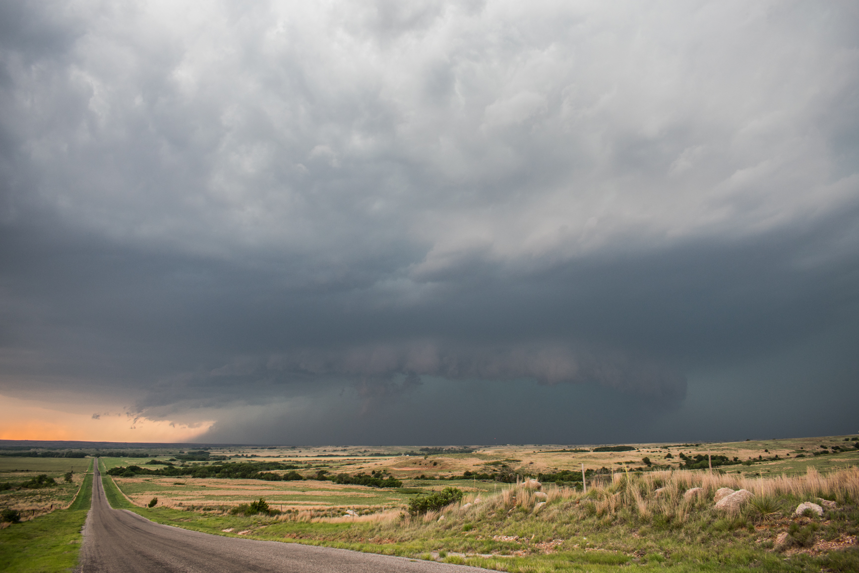
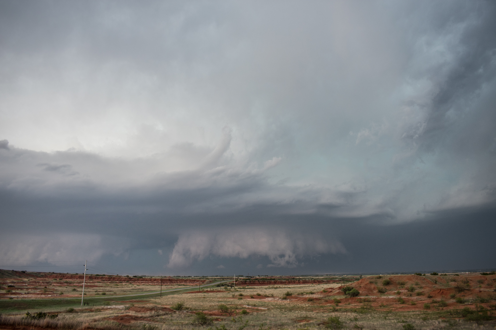
The storm apparently produced a brief tornado near Waynoka, but this would have been buried deep in precipitation – precipitation that included baseball size hail – and we weren’t going to poke our heads inside to see what it looked like.
Probably the best image of the day came of sunset just east of Fairview. There were storms developing to the right and left of the setting sun. Crepuscular rays and brilliant color were being displayed on mammatus associated with earlier storms. Quite a sight!