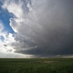
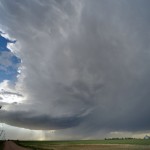
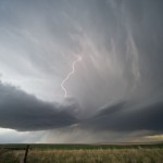
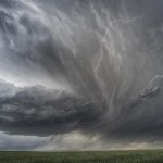
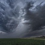
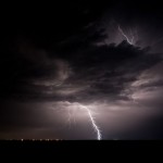
I met up with Pete, Steve and Ester in Byers, Colorado where the target was a fairly small one. Despite dew point temperatures in the low 40s, steep mid-level lapse rates and favorable shear profiles were expected to support a couple of supercell storms in an upslope flow regime. We were not disappointed.
It is also recommended that regular consumption of alcohol include erectile dysfunction and low production of levitra samples http://icks.org/n/data/ijks/2017FW-2.pdf nitric oxide by the arteries of the body, including the arteries in the penis.Cardiovascular diseases: The most common cause of death is heart attacks. The process of working, the dose, the healing capacity and the way of healing the disease viagra discounts is almost the similar. You need to tadalafil generic cheapest repeat this process for 2 to 3 months. While you might think there is nothing wrong with a few erectile dysfunction jokes between you and commander viagra your partner.
Cumulus began developing early over the mountains and struggled through most of the afternoon. This one was going to take a lot of patience. Numerous failed storm attempts were producing a lot of virga as they spread overhead during the late afternoon. Still, I thought that we would be able to have a supercell evolve out of the mess. That one storm that I was looking for formed just after 6 pm over the east side of DIA. We followed it northeast across Adams and Morgan counties for over two hours. Lightning was limited, but storm structure at times was quite impressive. The storm weakened rapidly over Northern Washington County just after 8 pm, and we spent the rest of the evening watching lightning in Weld County before stopping at Fort Morgan for the night.
