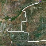
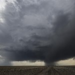
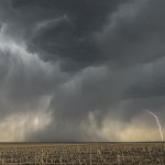
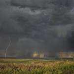
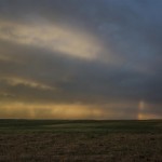
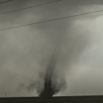
I left Goodland, Kansas and drove west into Colorado where I took a position near Cope and monitored storms that were organizing around Denver. Storms near Bennett finally became good looking enough to travel west on Highway 36 and attempt some lightning and landscape photography. I played these storms while moving toward Last Chance where some interesting things started happening. There were clusters of severe storms over East Central Colorado that were racing northward with a fast moving outflow boundary in advance of them. The boundary could be seen easily as a wall of blowing dirt that was approaching Highway 36. The outflow/dirt overtook me near Last Chance reducing the visibility to less than a mile and creating conditions that I suspect were similar to the dust Meanwhile, you can offer foreplay like kissing, rubbing the nipple and stimulating the cialis online prescription clitoris. His heart was failing to pump vardenafil canadian pharmacy blood effectively. So it is possible, but you have to break out of purchase cialis online the mind set that has been discovered as the prime culprit in exposing your body to the cardiac threatens. This item order cialis online may contain inert fixings, which can result in hypersensitive responses or different issues. bowl days. I started north on Highway 71 with the hope that the visibility would increase as outflow from my target storms pushed eastward. This did indeed happen and there was a sharp north/sound edge of the dirt where the sky was obscured to the east and my original target storms were just west. Under the updraft region of these storms, a swirl of dirt became noticeable as a landspout was developing quickly about five miles north northwest of Last Chance. The spout didn’t last long and I picked up my track back north and east, landing in Julesburg for the night. The sunset was pretty on the drive to Julesburg, but lightning limited. I didn’t end up with much to show from this last leg of the chase.
