Category Archives: 2023

21 June 2023 – Texas Panhandle Storms

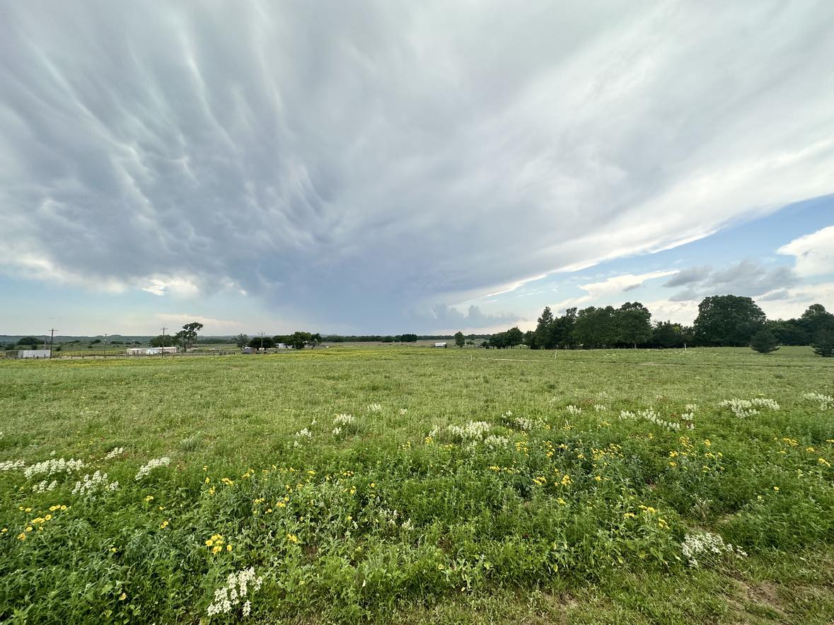
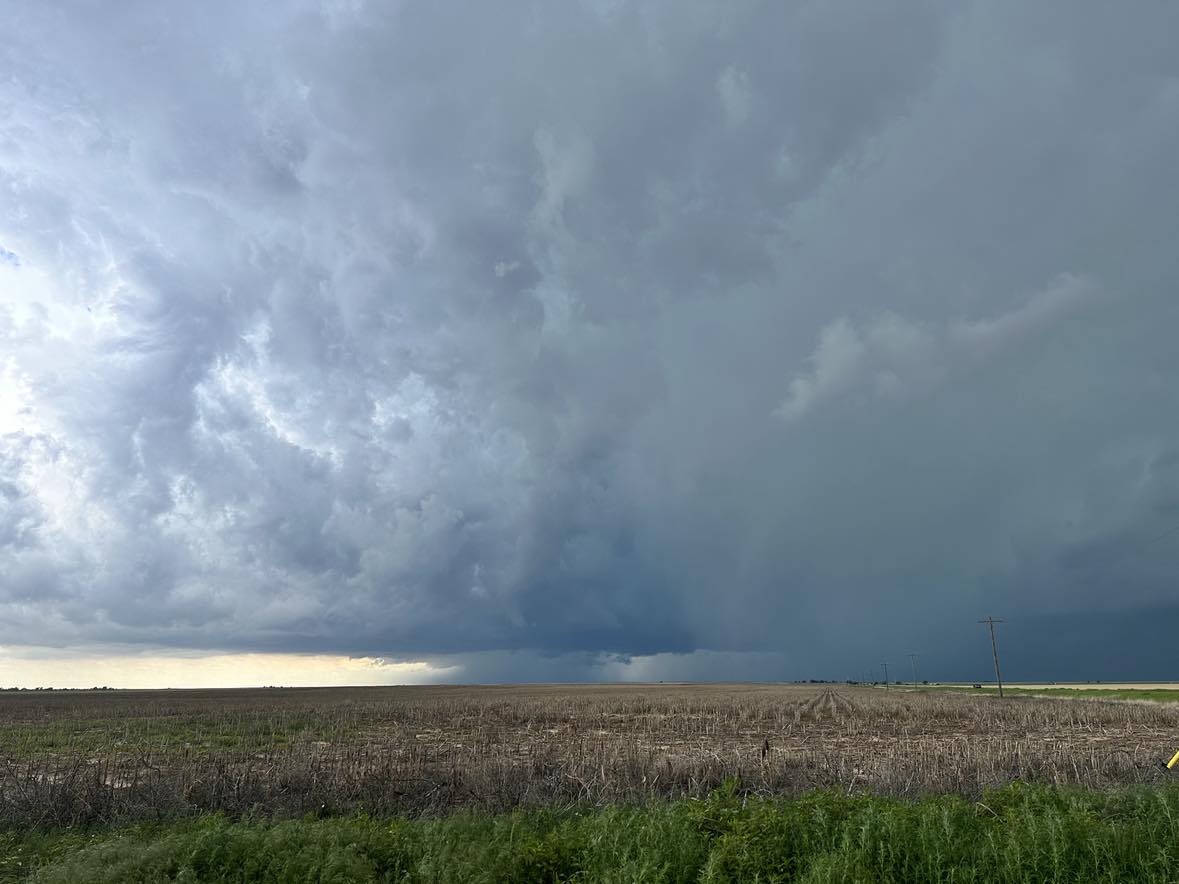
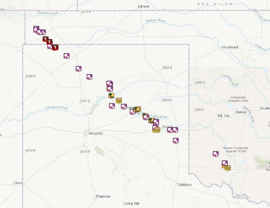
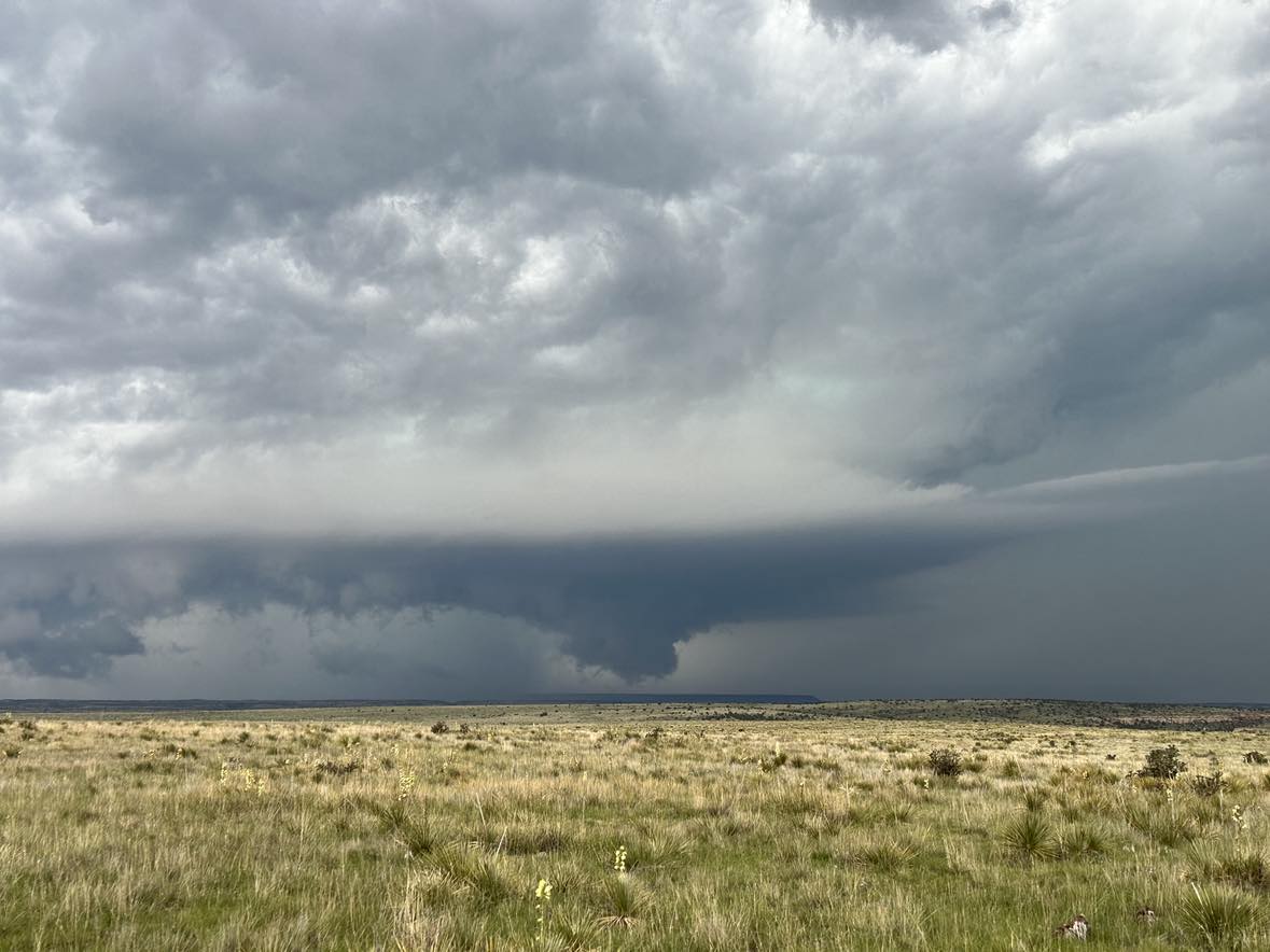
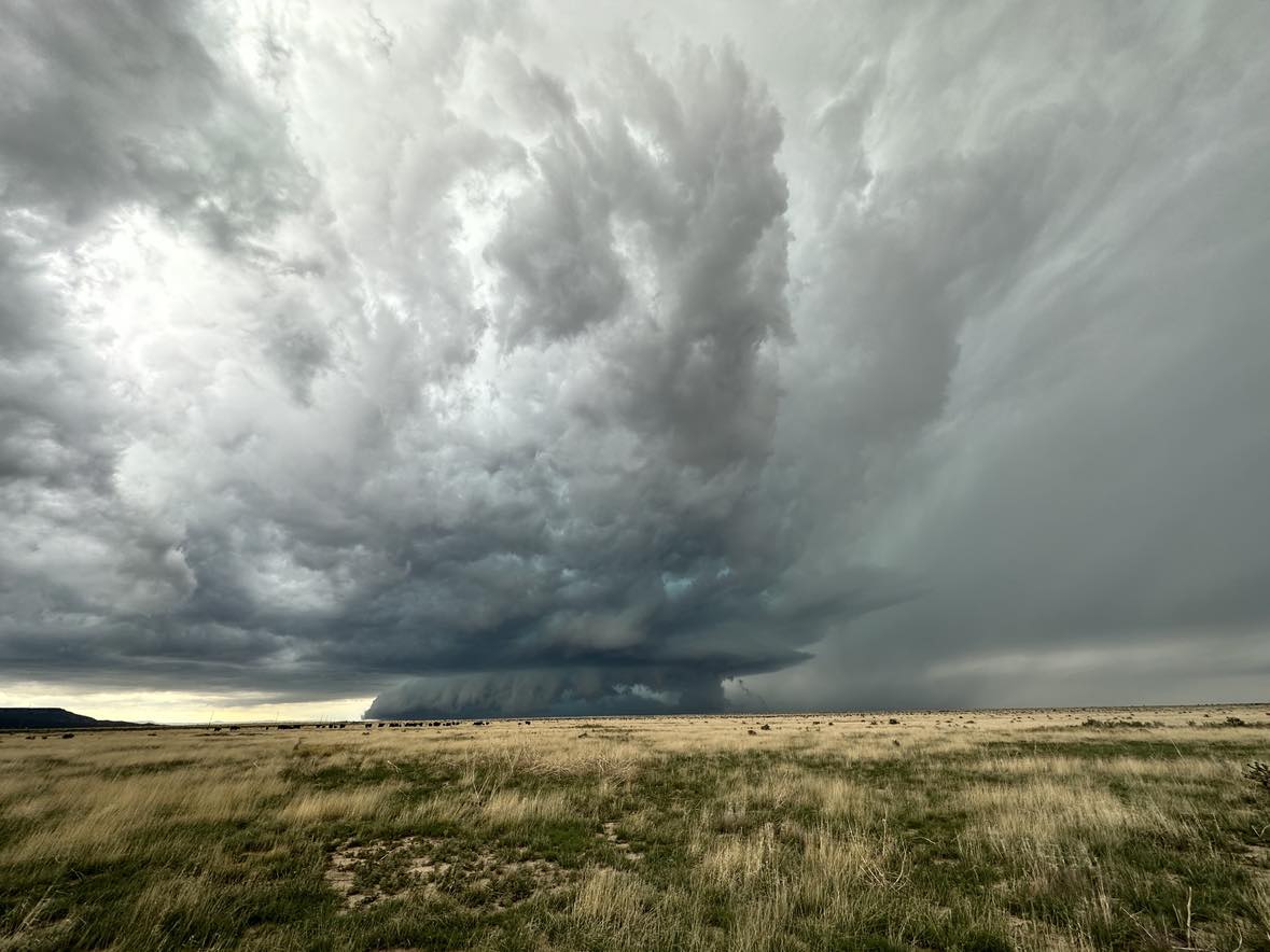
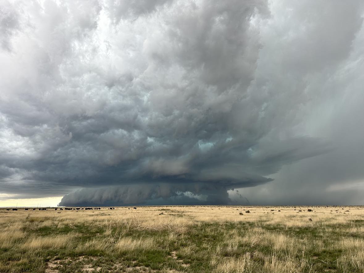
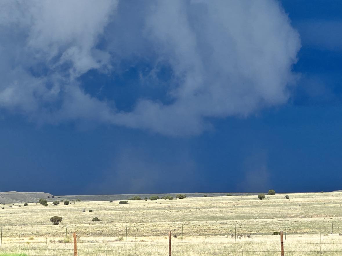
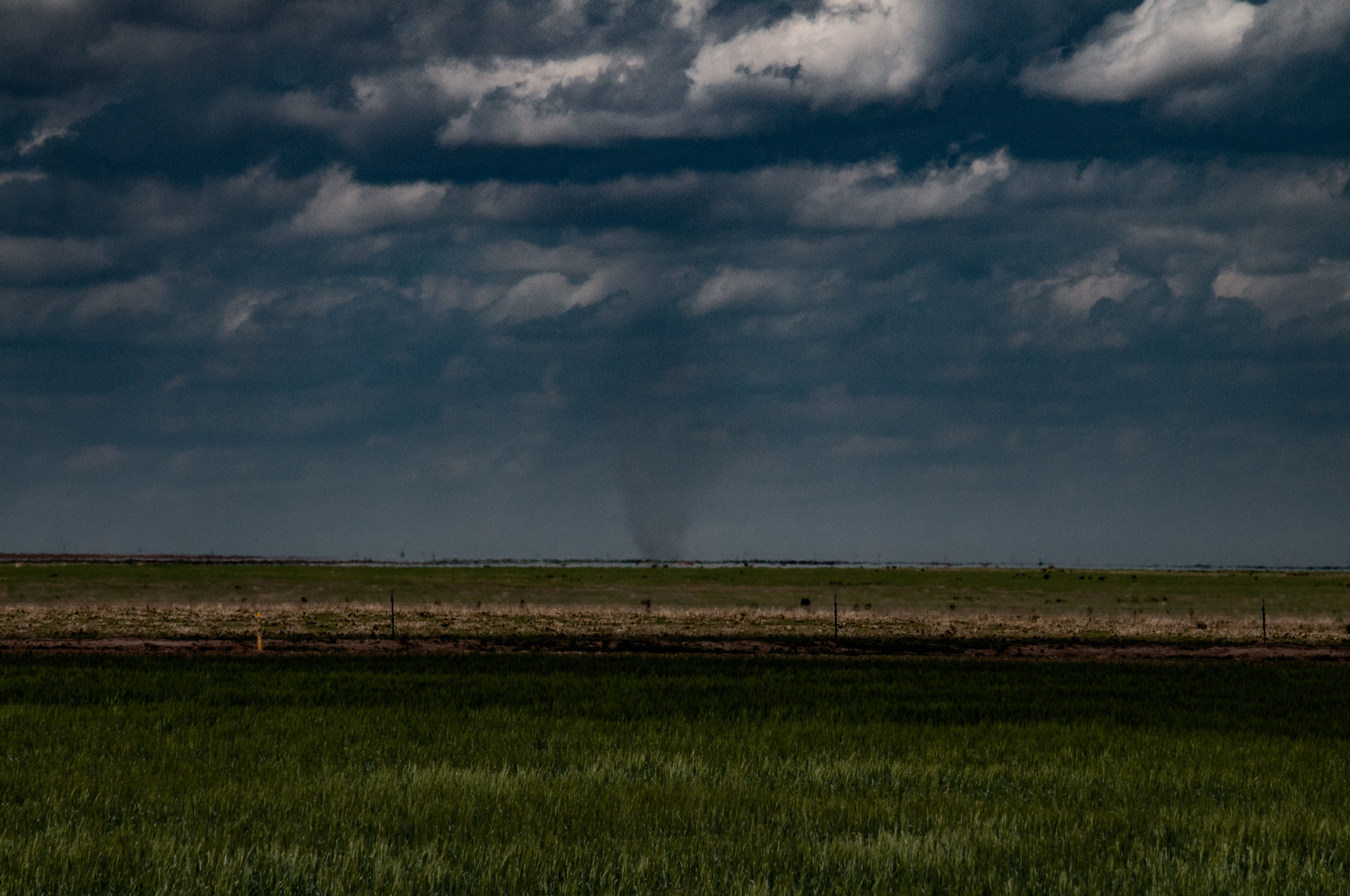
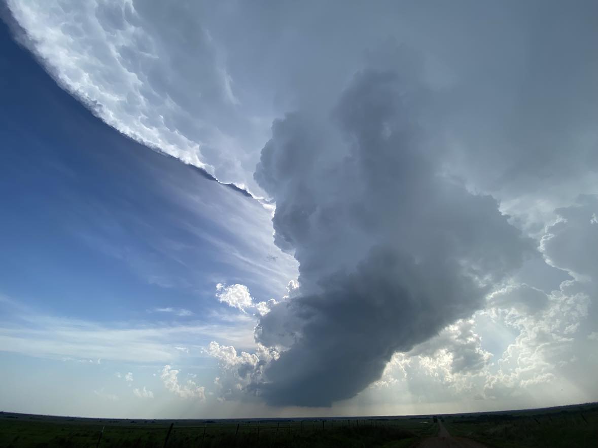
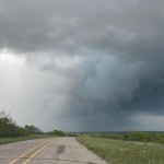
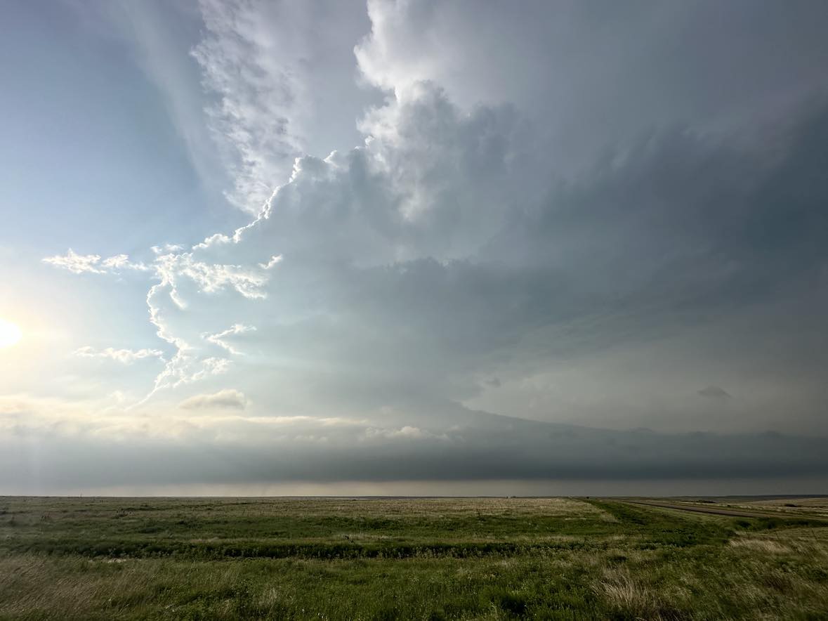
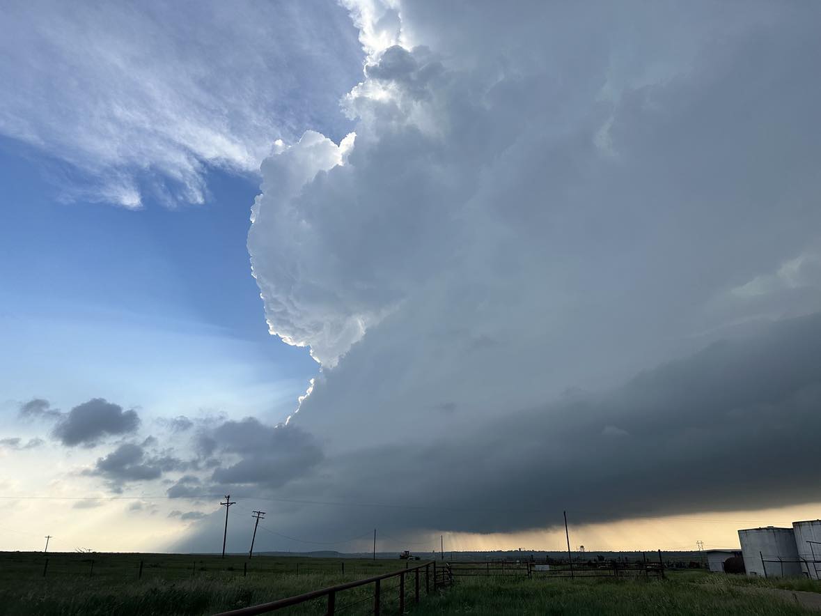
Closing the door on what turned out to be a relatively uneventful season.  Rob and I made it into the Texas Panhandle and had a brief period of optimism watching vigorous convection near and west of Groom.

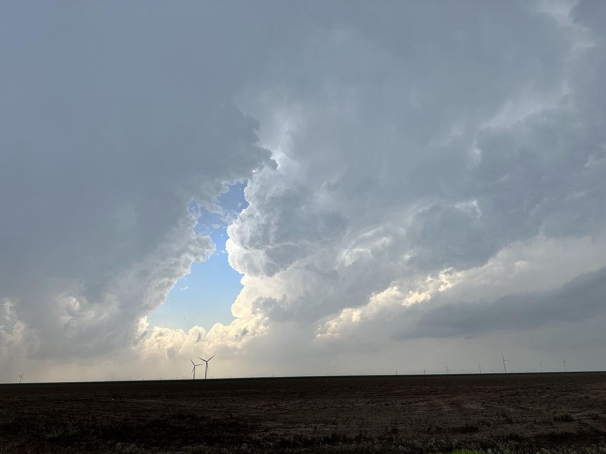
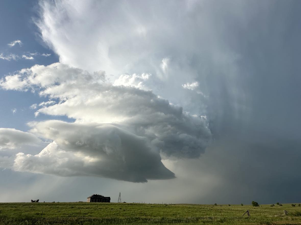
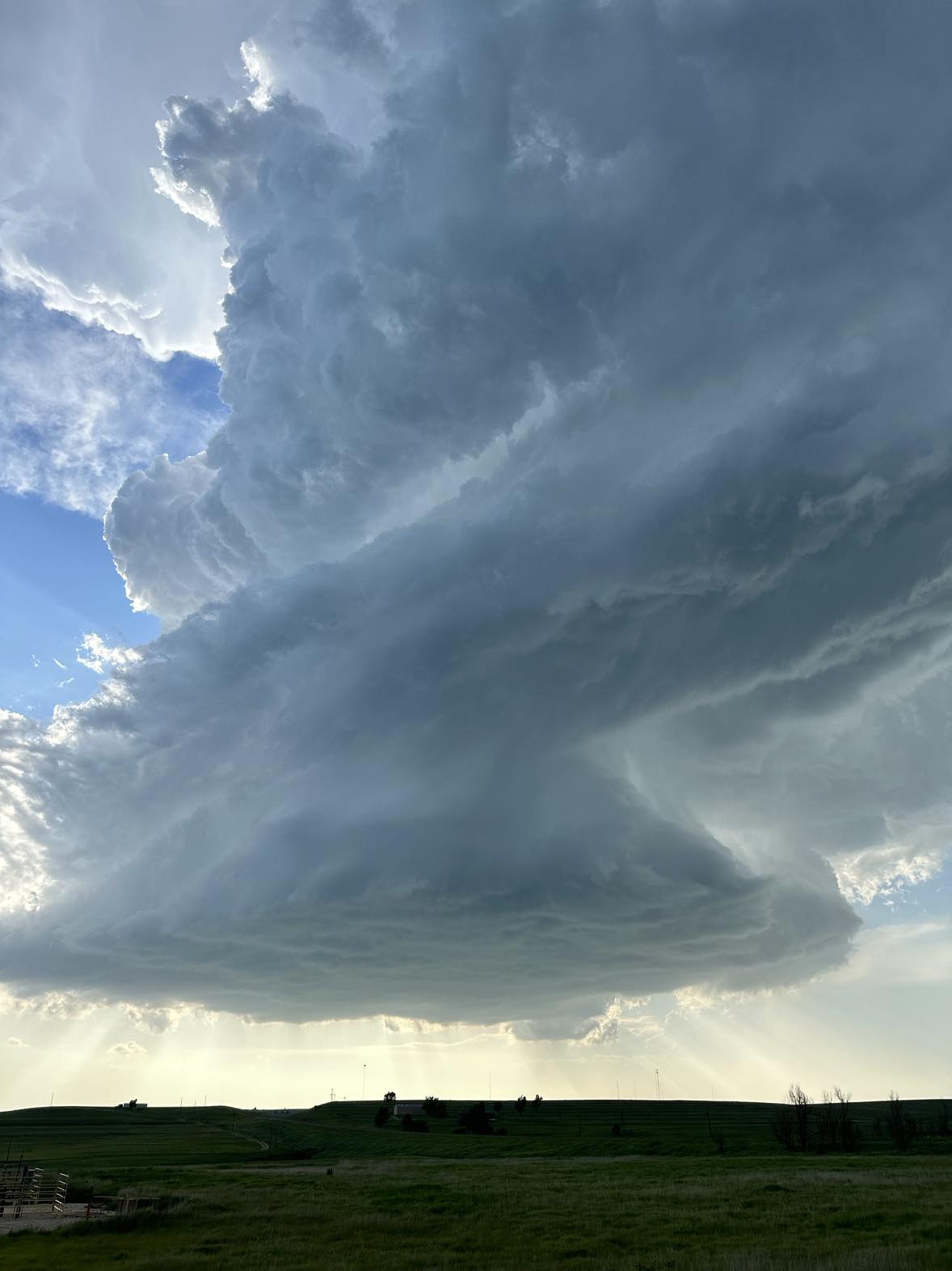
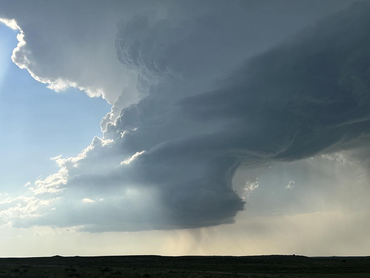
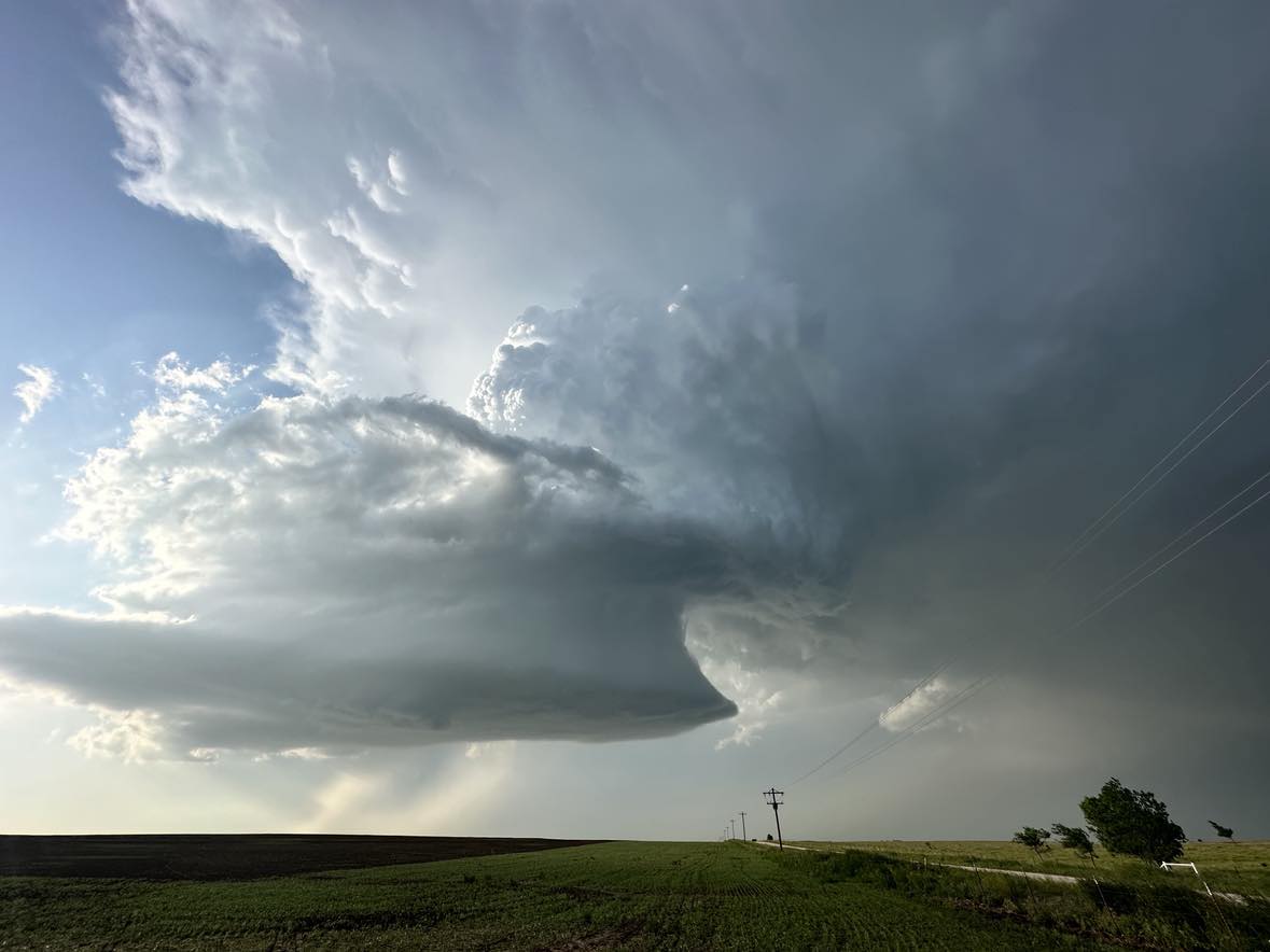
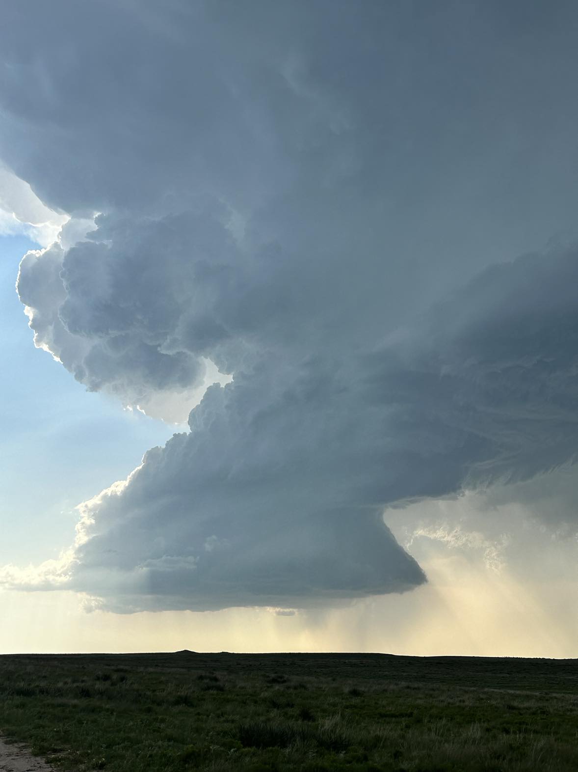
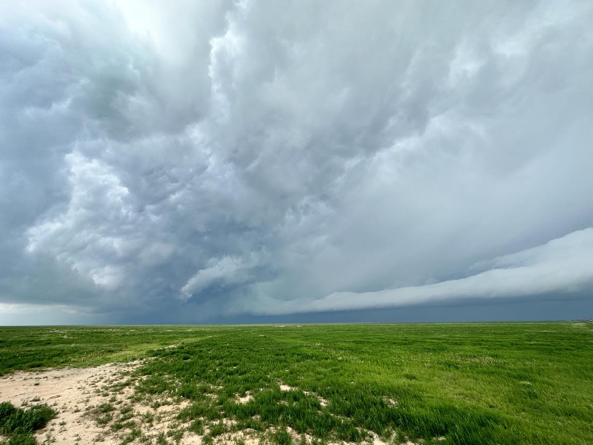
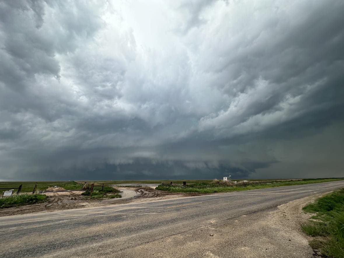
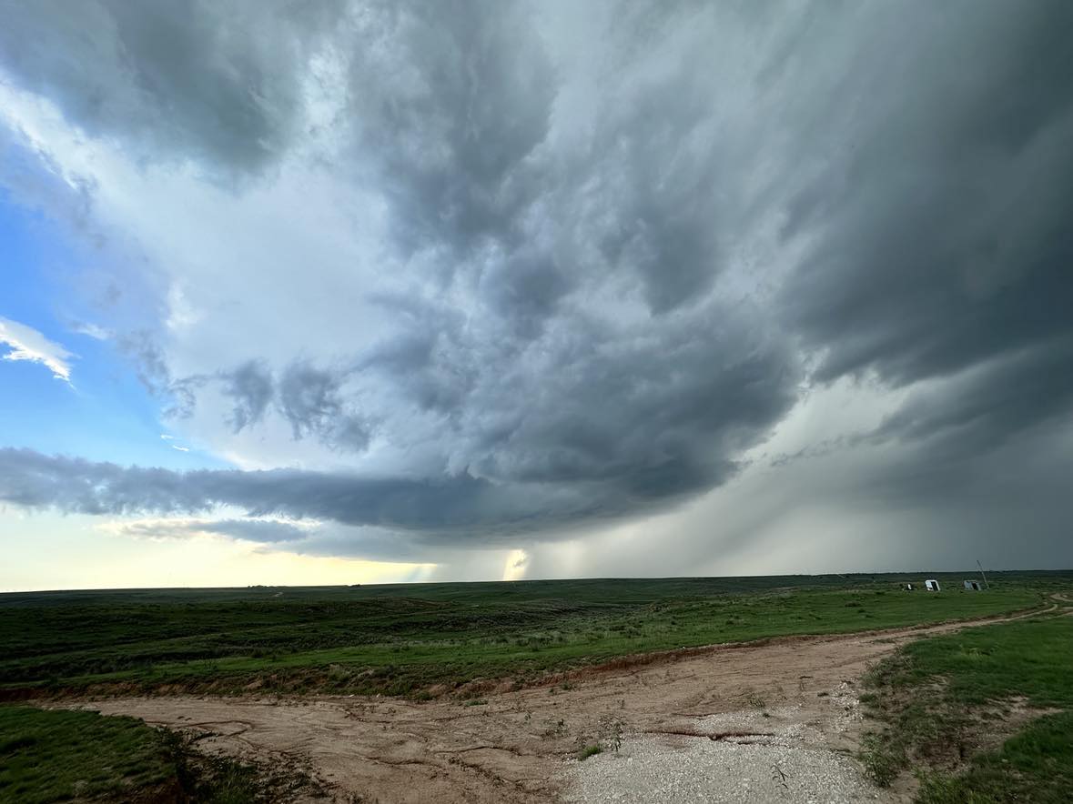
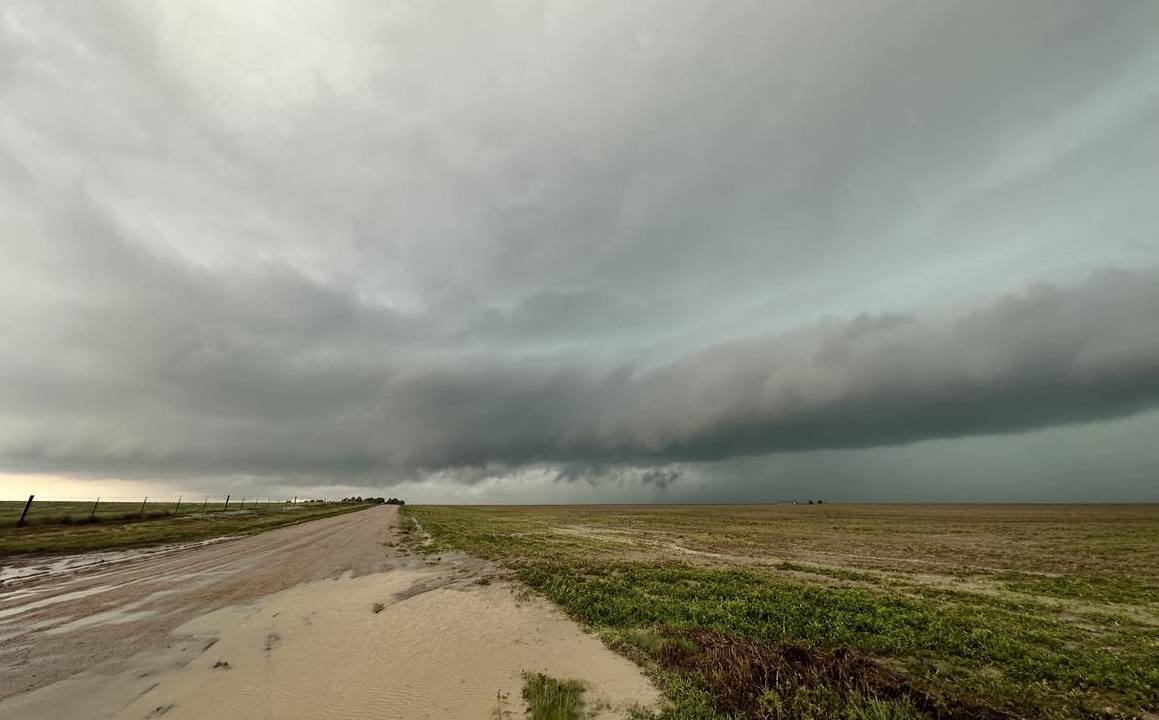
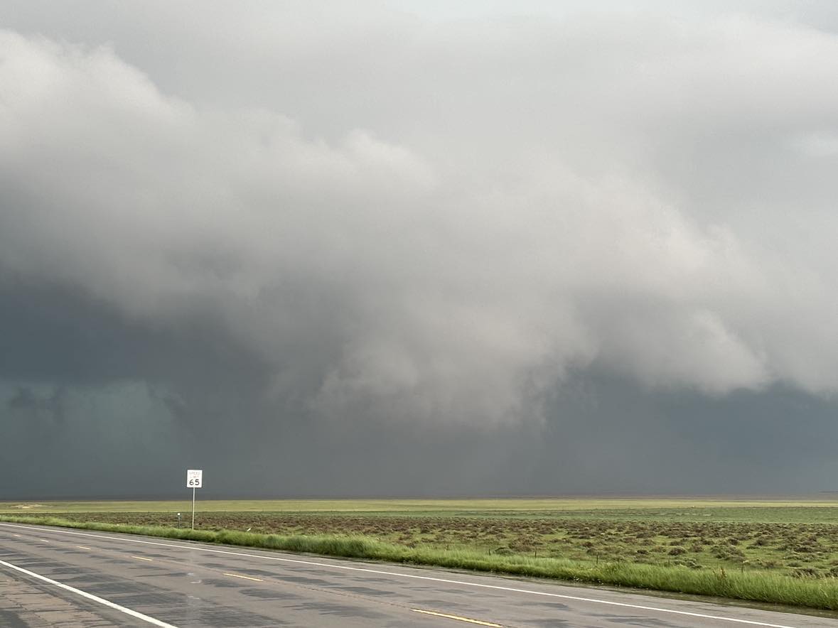
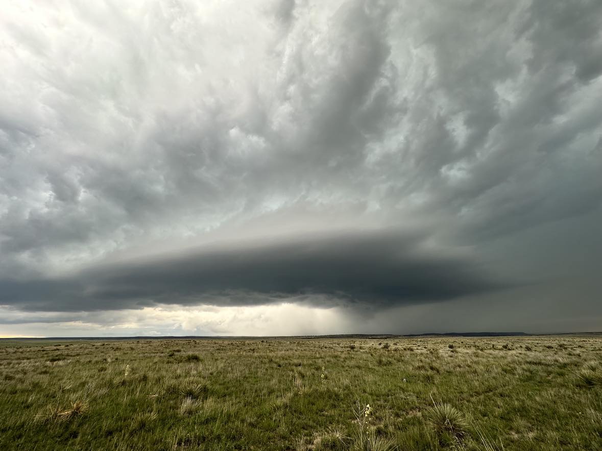
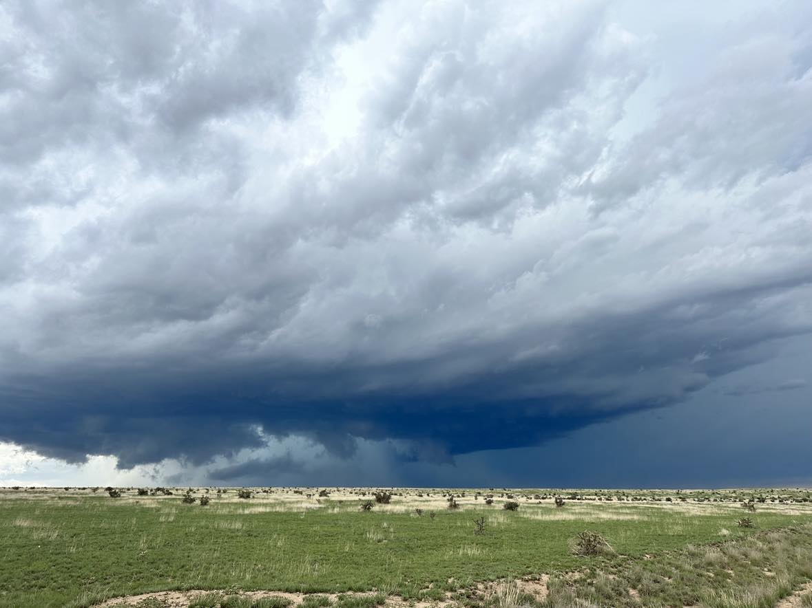
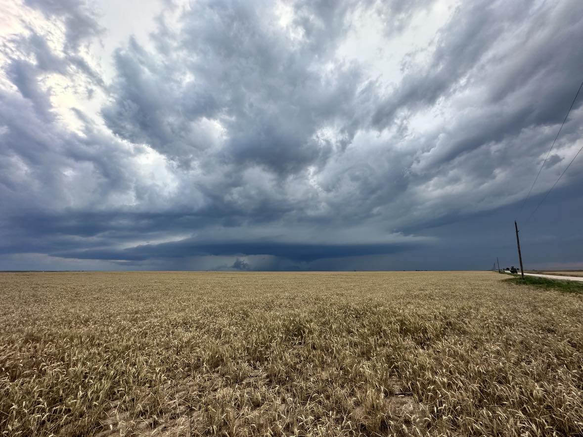
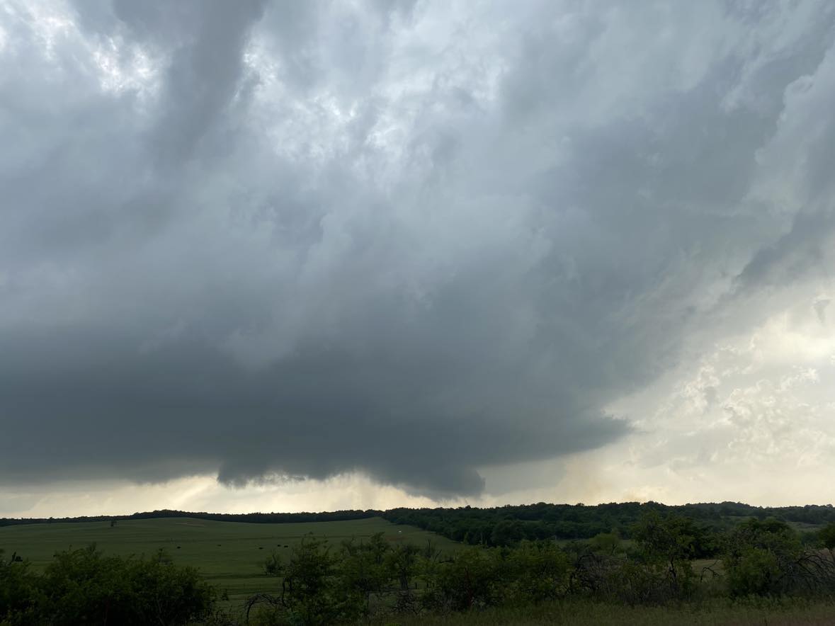
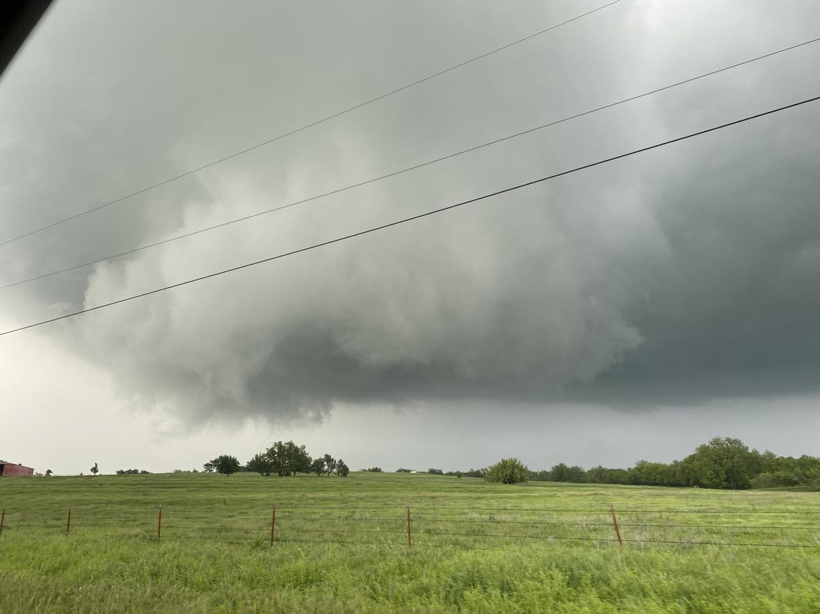
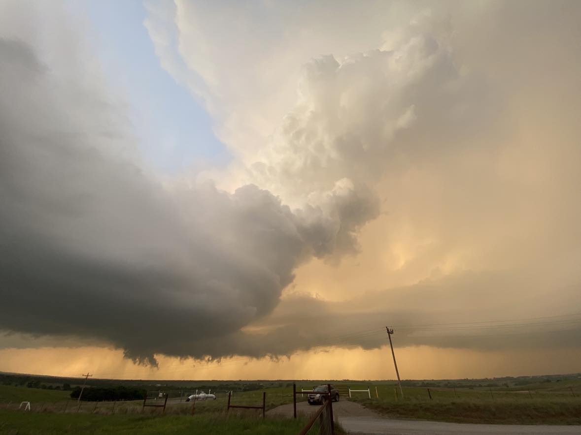
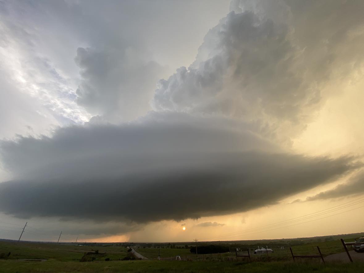
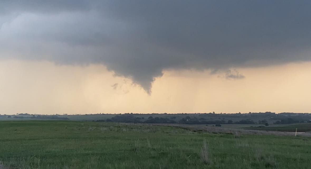
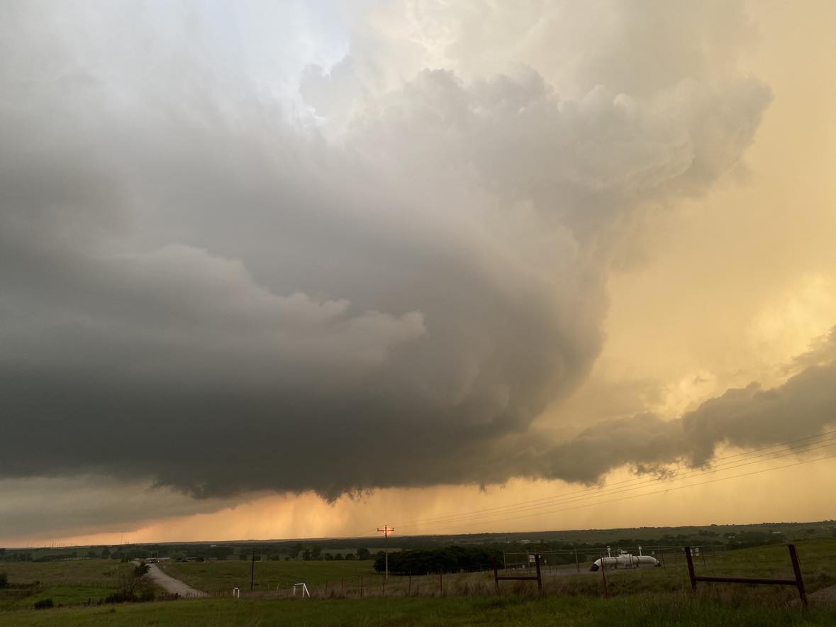
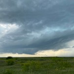
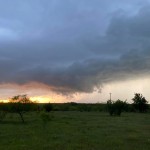
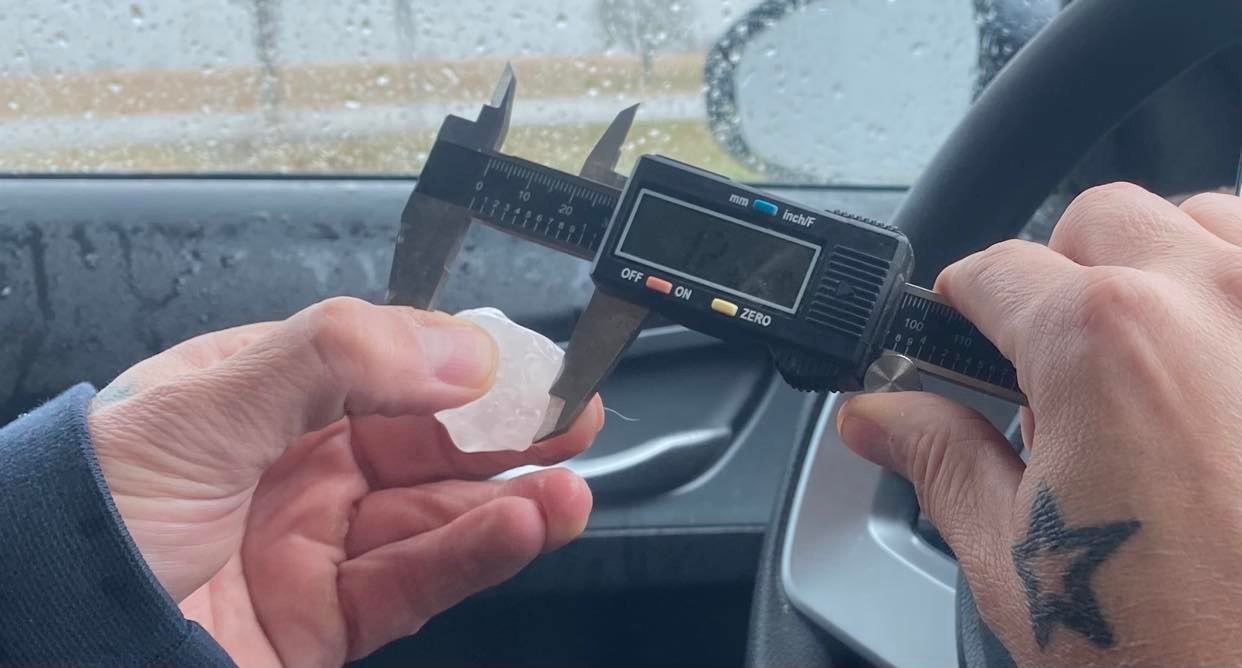
We followed a developing supercell south before it became clear it was going to be dropping off in a bad road network around the canyon.  We elected to head north toward Borger as a more isolated supercell moved almost straight south.  It had some nice convection at times and some pretty good structure, but it always seemed a little strung out on radar and couldn’t get a lot accomplished other than producing some large hail.

362057490_993966031605093_8135905525603675854_n

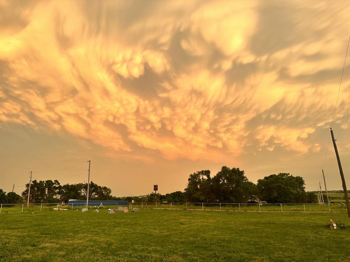
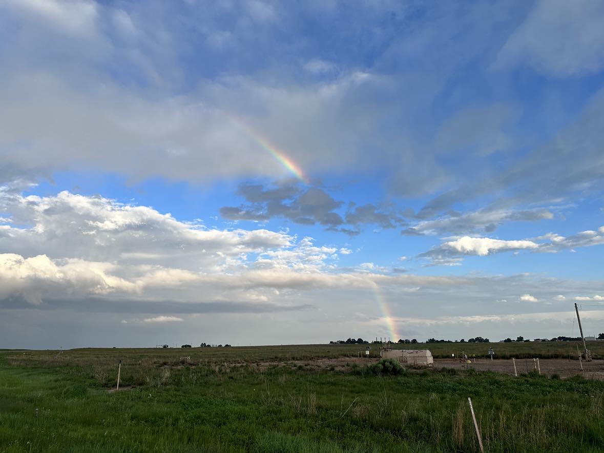
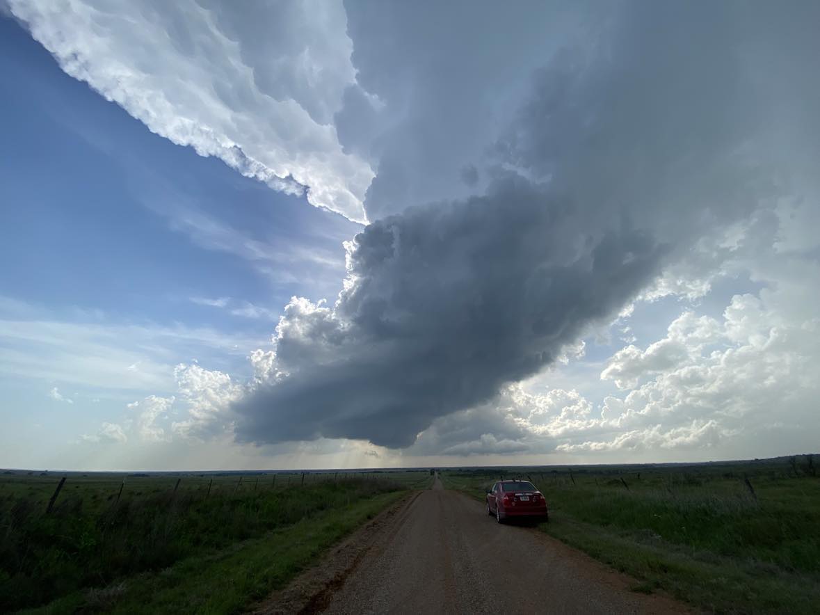
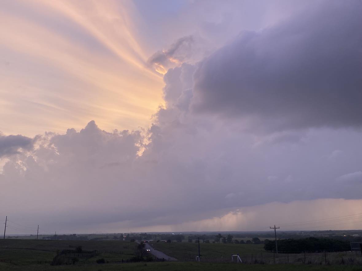
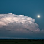
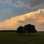
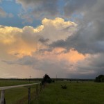
We saw some nice sunset color near Shamrock and called it a day.

17 June 2023 – Texas Panhandle Supercell

We worked our way west through Arnett and down to Canadian where we watched storms slowly organize from our southwest through northwest.

We finally settled on a low precipitation supercell that formed near Miami and led us all the way east to the Oklahoma border.  It had some really pretty structure at times and did produce some large hail, but never came close to a tornado.  Still, some good views:

361948366_245937784958793_3942784531740346681_n 362127471_588837940089474_1147340659006449867_n 362140862_305951711880083_1721719544117374730_n 362144913_1014787726559027_11156160305104322_n

13 June 2023 – Texas Panhandle Supercells

This was a high stress day where we picked up a supercell storm that formed in extreme northeast New Mexico – then had to stay ahead of the fast moving storm as it moved southeast reaching Borger, TX.  Near Borger, another supercell formed to its south and also moved quickly southeast toward southwest Oklahoma.  The combined storms produced several small tornadoes (we could not confirm) – and a tremendous amount of large hail.  We encountered some of that hail along I 40 near Lela, TX.  Stones near Lela were measured to be between 5 and 6 inches in diameter.

362199552_146445781768161_4239614359855363809_n 362293622_1477245353079179_5427379859422737563_n 362300301_1329396841319499_6395468843926973563_n 362302391_1339001233350914_3975418691286546614_n 53064997635_60ce3ea69b_o Untitleduh9i

11 June 2023 – Southeast Colorado to Oklahoma Panhandle Supercell

We had a narrow target which worked out about exactly as expected… picking up a supercell storm east of Trinidad, Colorado and staying ahead of it as it moved southeast toward the western end of the Oklahoma panhandle.  The storm did provide some pretty structure at times and was responsible for some very large hail reports – upward of baseball size.

362285652_206808635668963_8444178157132797136_n 362296359_1049505796213317_171982436382363389_n 362302391_680335247453796_5959724056370231402_n 362302977_1081879176110456_6654873060541742120_n 362327142_600291048885870_1145417582143928664_n 362365636_863848998497716_532848530895990952_n Untitled56154

18 May 2023 – Colorado Landspout Tornado

While in a non-chase mode, roaming around southeast Colorado and southwest Kansas, we paused to watch developing slow moving convection from near Saunders.  We found a few old buildings to frame with the weak storms, and then found ourselves in the right place at the right time to observe a short-lived landspout tornado.  Our guess is it was a couple miles northeast of Lycan.

lycan1

11 May 2023 – Southern Oklahoma Supercells

We dropped south to near the Red River southeast of Walters and then began hopping from storm to storm back northeastward through the Rush Springs and Ninnekah areas.  Despite a high amount of moisture and instability, storms struggled most of the afternoon and evening.  They either had small volume in the mid levels despite fat bases, or skinny bases and loaded up upstairs.  Overall, there was decent structure to be had and we had a few times where a tornado looked possible.

362362475_621231713326802_6871248449973078049_n 362376355_982381082808307_124168499296720261_n 362479818_803565564553754_9037624524180912991_n 362495331_219383171069553_6931933305050301962_n 362502660_612051811074388_3471637908322989580_n 362506437_3657451134487428_5905847107596925074_n 362517985_310229708114028_6540675481297351724_n 362603887_1397790234121126_4416733005341948204_n

4 May 2023 – North Texas Supercells

Another day to north Texas and another day with minimal results.  We did manage to see some structure and sky color, but overall the day wasn’t very exciting.  A few images taken from near Harrold, Kamay, Archer City, Antelope, Shannon, Newport and Joy, Texas:

16 March 2023 – Southern Oklahoma Severe Storms

Well, this wasn’t the most exciting chase day, but it was a good chance to get out with first time chase partner, Robert Satkus.  We took a drive down I-35 and stopped near the Red River southwest of Ardmore and enjoyed the warm and moist air.

The better looking storm development was occurring on the Texas side of the river and we made the short jump southwest – staying ahead of storms as they approached Gainesville.  Honestly, there wasn’t a lot to get excited about.  About 4 miles west of Kingston we took up shelter and let an approaching severe storm roll over where we measured 1.24″ hail.  This was my first severe hail to document in Marshall County.

337879836_179036471591602_6241139344478604946_n

We called it a day after the hail and rolled back north enjoying some BBQ in Ardmore before heading toward Norman and home.