Category Archives: 2022

31 May 2022 – Western Oklahoma Supercells

The last chase of the 2022 season was a fairly short trip into western Oklahoma.  The atmosphere was very unstable southeast of a slow moving front that extended from eastern Kansas into the Texas Panhandle.  While no tornadoes were reported in Oklahoma, supercell storms – producing very large hail and damaging winds – formed over the west central and southwest parts of the state and moved slowly toward central Oklahoma.  Our trip took us through Fay and Thomas to west of Clinton where we started sampling storms, following them back toward Canadian County.

DSC_4295

4 May 2022 – Weak Tornado near Groom, TX

There were a couple of potential targets on the day… the panhandle where a cool northeast wind had filtered into the area, but recovery was expected throughout the day… and northwest Texas where instability wasn’t going to be in question.  Being better chase territory, we decided on the panhandle.  And really, confidence was fairly high that sufficient recovery would take place.  Unfortunately, it was later and not as strong as expected.

We drove west to the Goodnight exit and started drifting north ahead of a supercell that organized near Claude.

While the storm looked like it was organizing nicely, there were signs – such as low, almost stratus clouds that were streaming in from the east.  Still, the storm acquired supercell characteristics and even produced a weak tornado as we approached Groom.  The tornado was only on the ground for a few seconds, and that was about the last the storm would do.

0504a

When it became apparent that sufficient recovery wasn’t going to occur, we started making our dash southeast toward other supercells that were developing.  We were well behind the main show and had to settle for a severe storm near Dodson that left us less than impressed.


2 May 2022 – Oklahoma Supercells

It’s not too often that you can leave Okarche and end up chasing a storm near Purcell by way of Waynoka.  We originally targeted northwest Oklahoma but became unimpressed with the idea as we got into Alfalfa County.  Things were a little messy, with a lot of storm interaction and little in the way of structure to keep us there.  A storm was approaching Kingfisher County that was more isolated, which we targeted and started moving south.  But we were just a tad late on arrival and missed brief tornadoes near Loyal.  We were still treated with some nice structure before the storm started weakening:

The next hope was storms moving from Caddo into Grady county.  We worked our way around Chickasha and east toward Purcell with a nice looking supercell:


Probably the best image we captured came on our way home… stopping in far west OKC for a view of the mammatus near sunset:

1 May 2022 – Texas Panhandle Supercells

The day kind of turned into a long one getting us nearly to Dalhart, TX as we roamed from storm to storm looking for something interesting.  We saw several that exhibited supercell structure, a few gustnadoes, some lightning – but mostly a lot of dirt.  These were windy storms over drought areas and there was a tremendous amount of blowing dirt.  At times visibility got down to less than 100 yards.

Lightning near a broad mesocyclone near Hartley:

One of the dense streams of blowing dirt that we had just driven through west of Dumas:


29 April 2022 – Tornado at Andover, KS

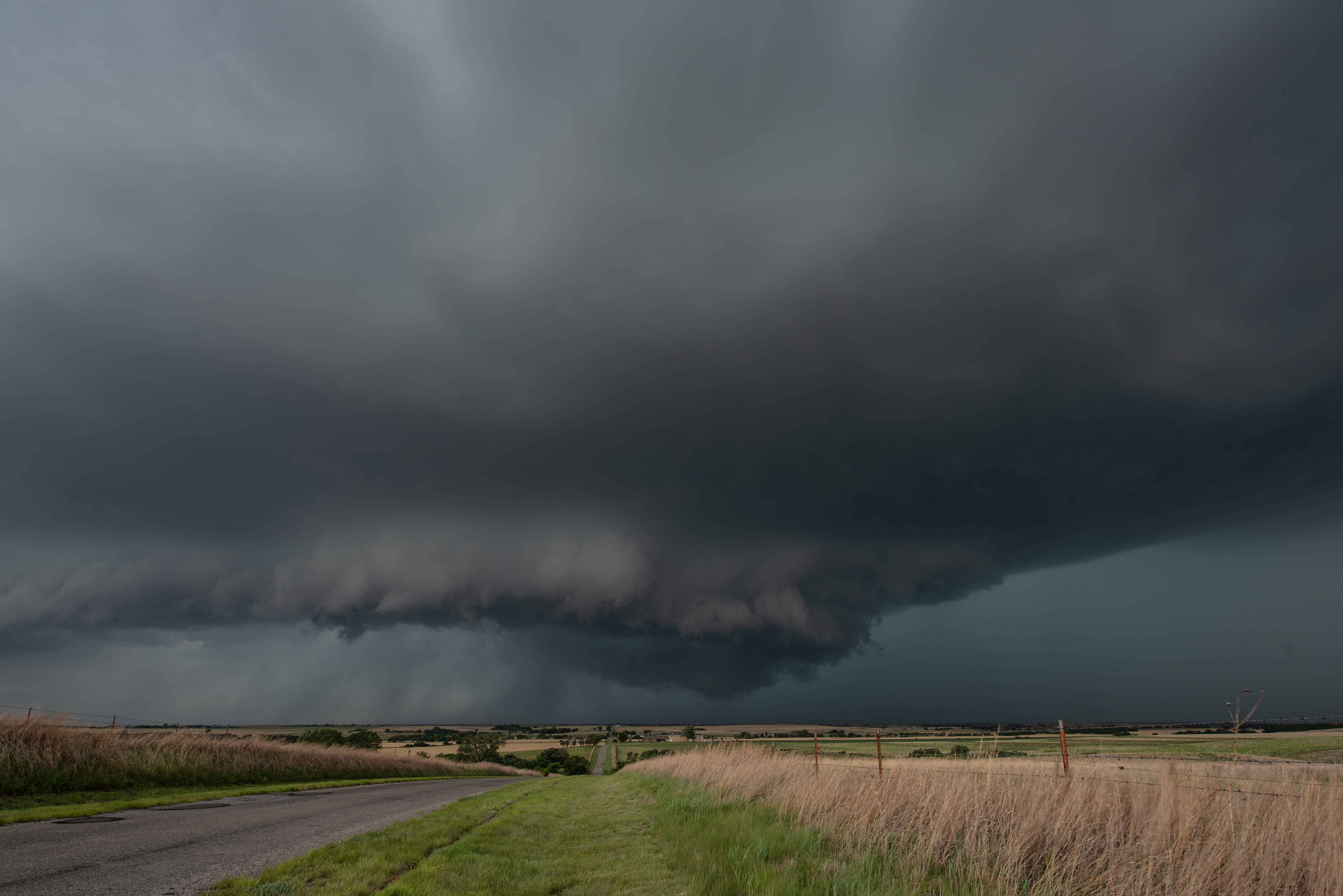
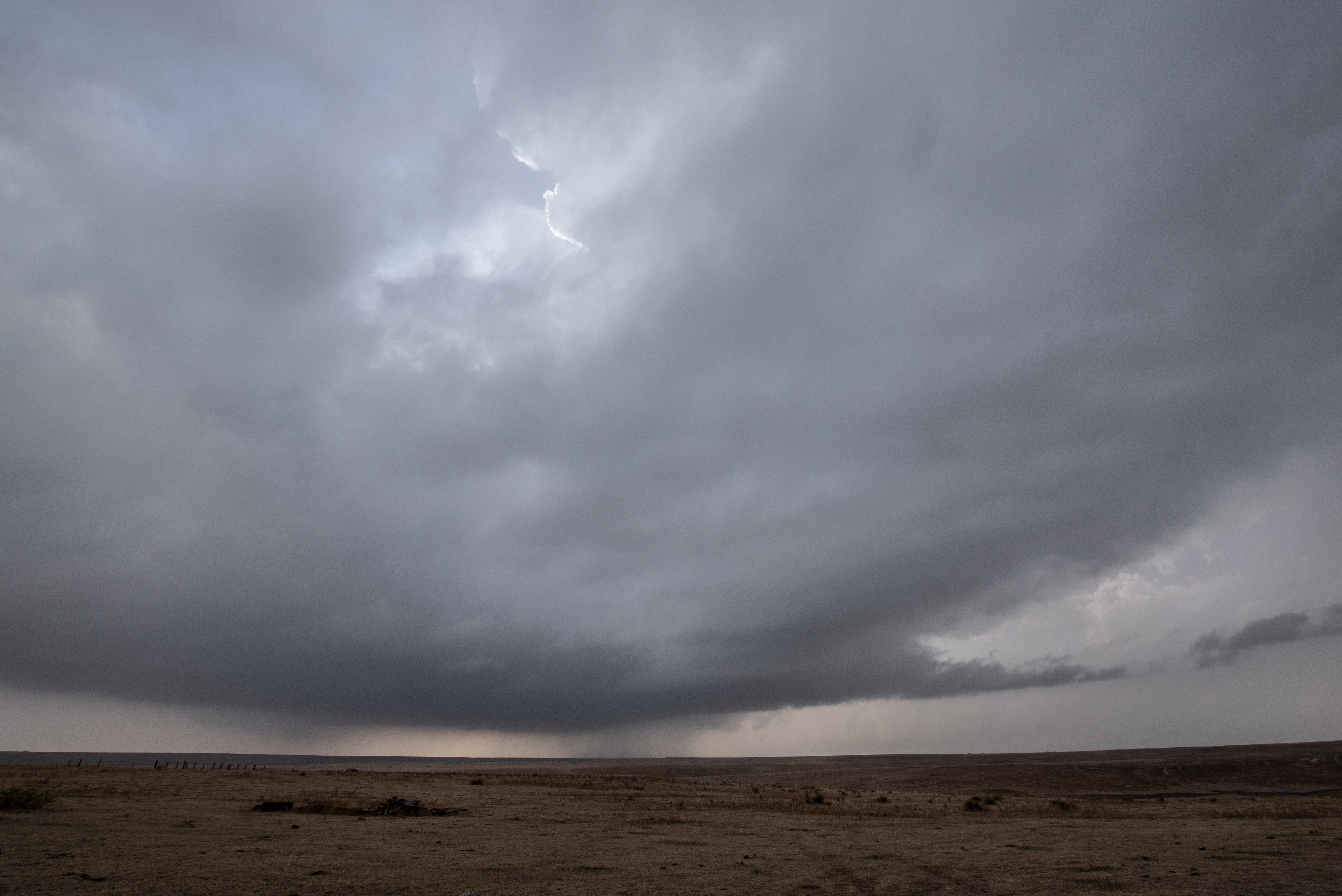
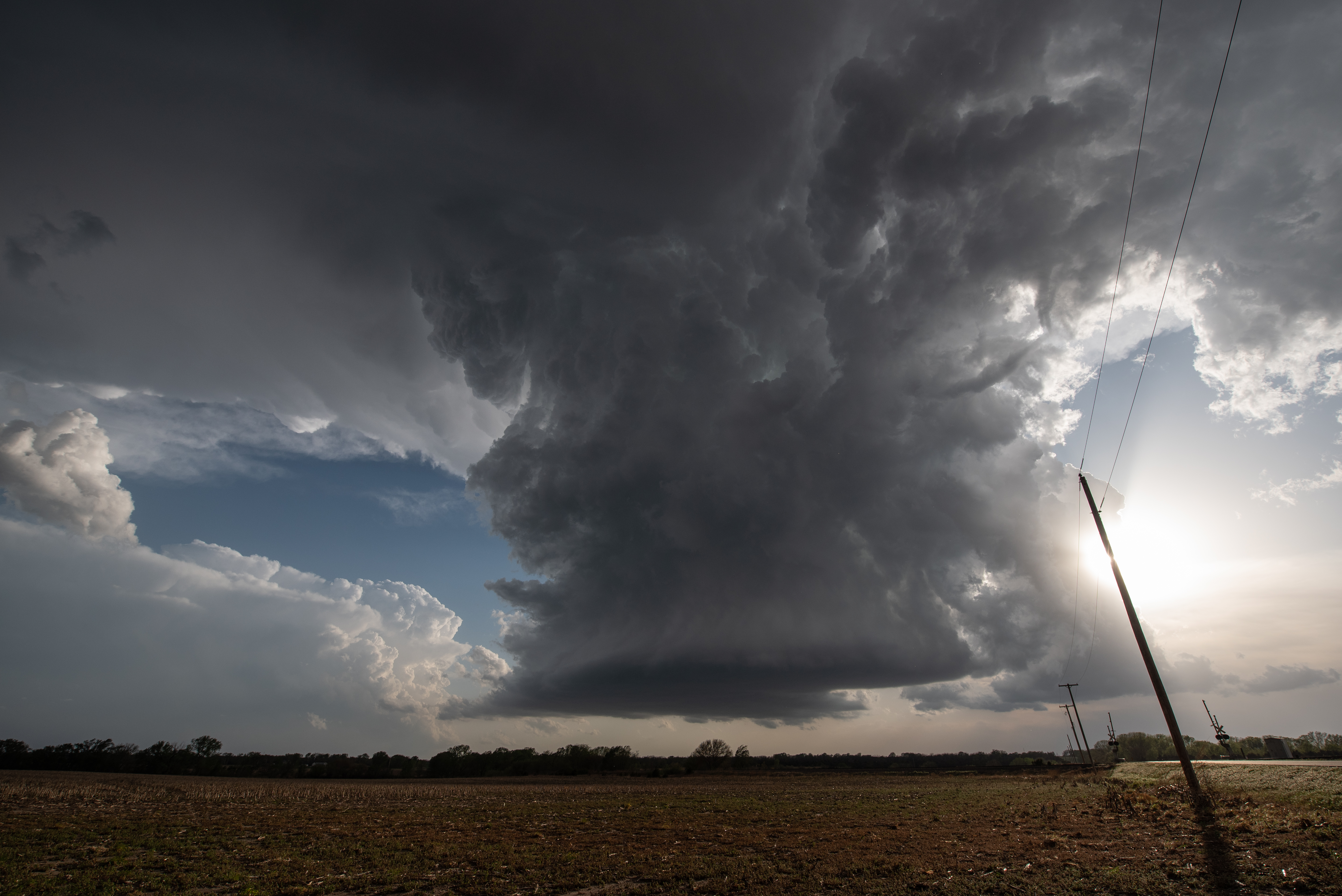
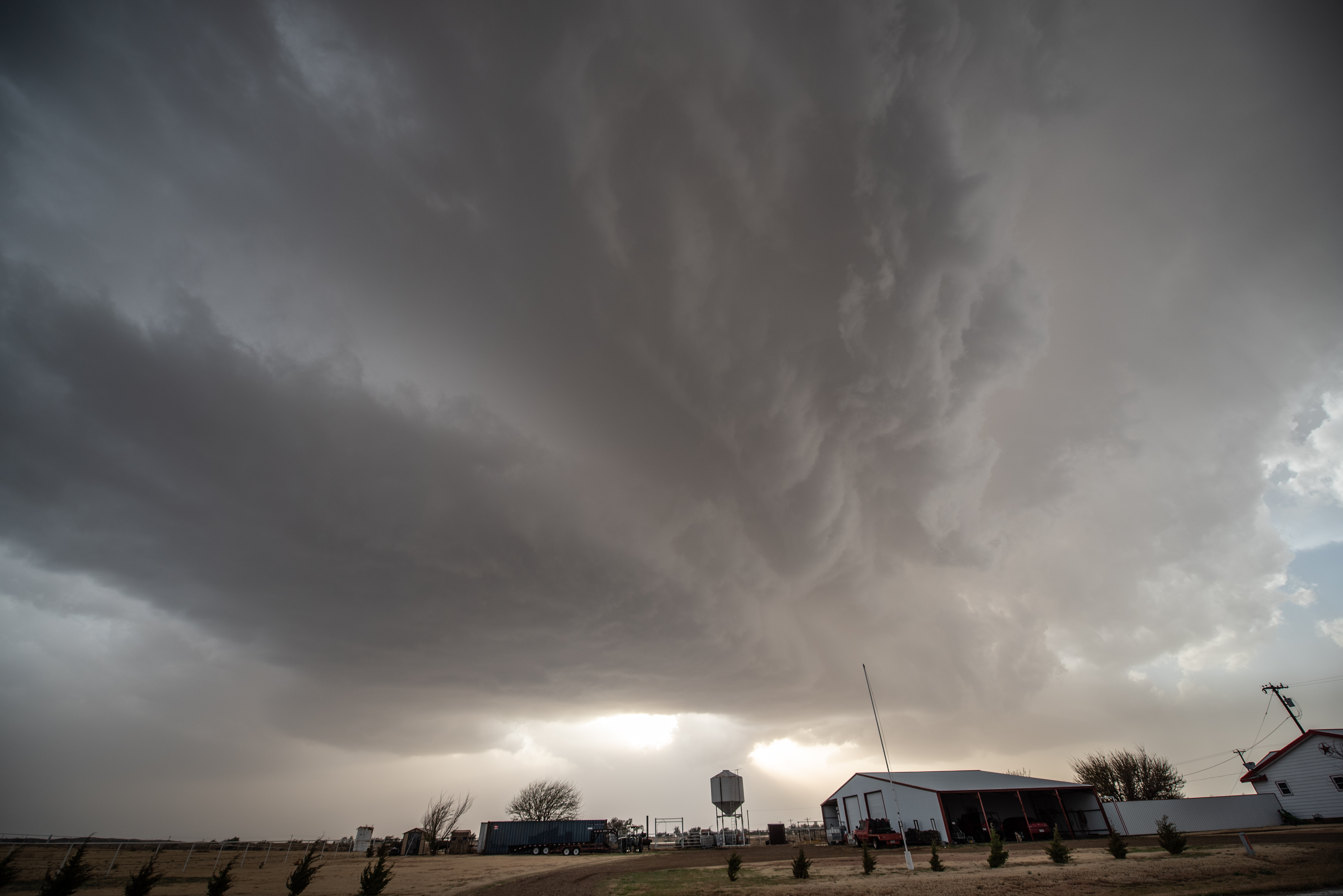
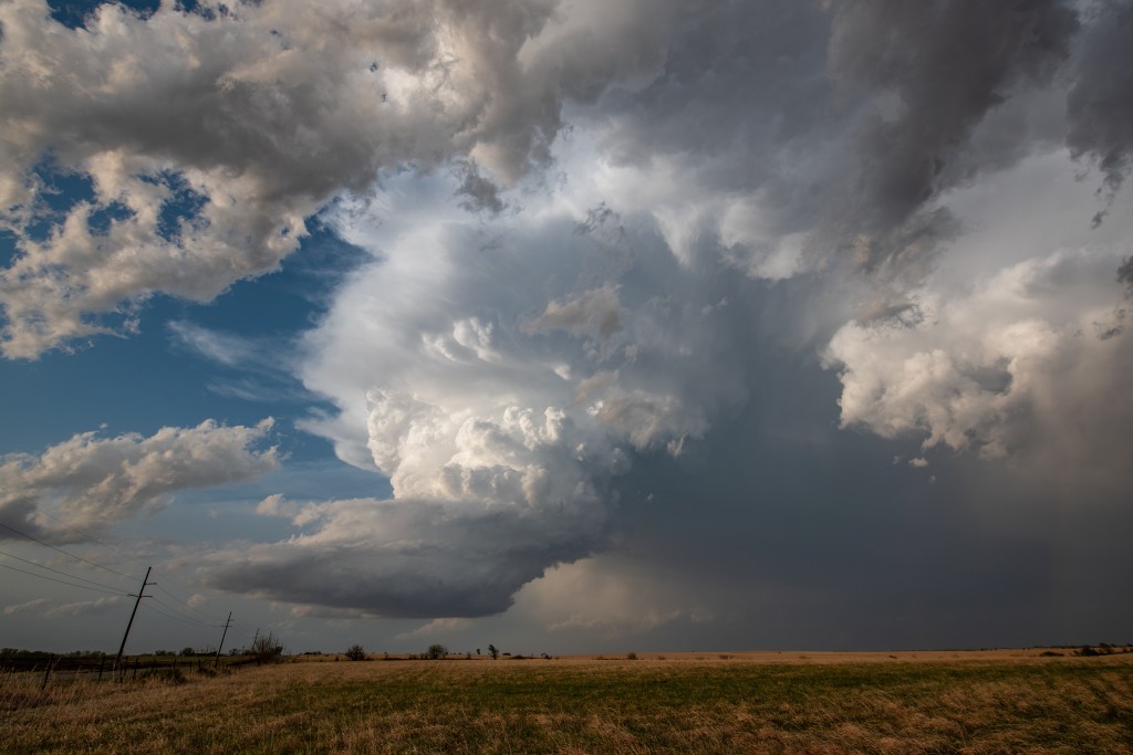
We departed this day with a relatively small target area around Wichita, KS.  While knowing tornadoes were possible, the thoughts were that significant tornadoes were unlikely, and once again it appeared that storm structure would be our reward for our efforts.  After driving a bit north of Wichita, we turned east and stopped near Furley as a supercell organized just west of us.  This image turned out to be more interesting than first thought:

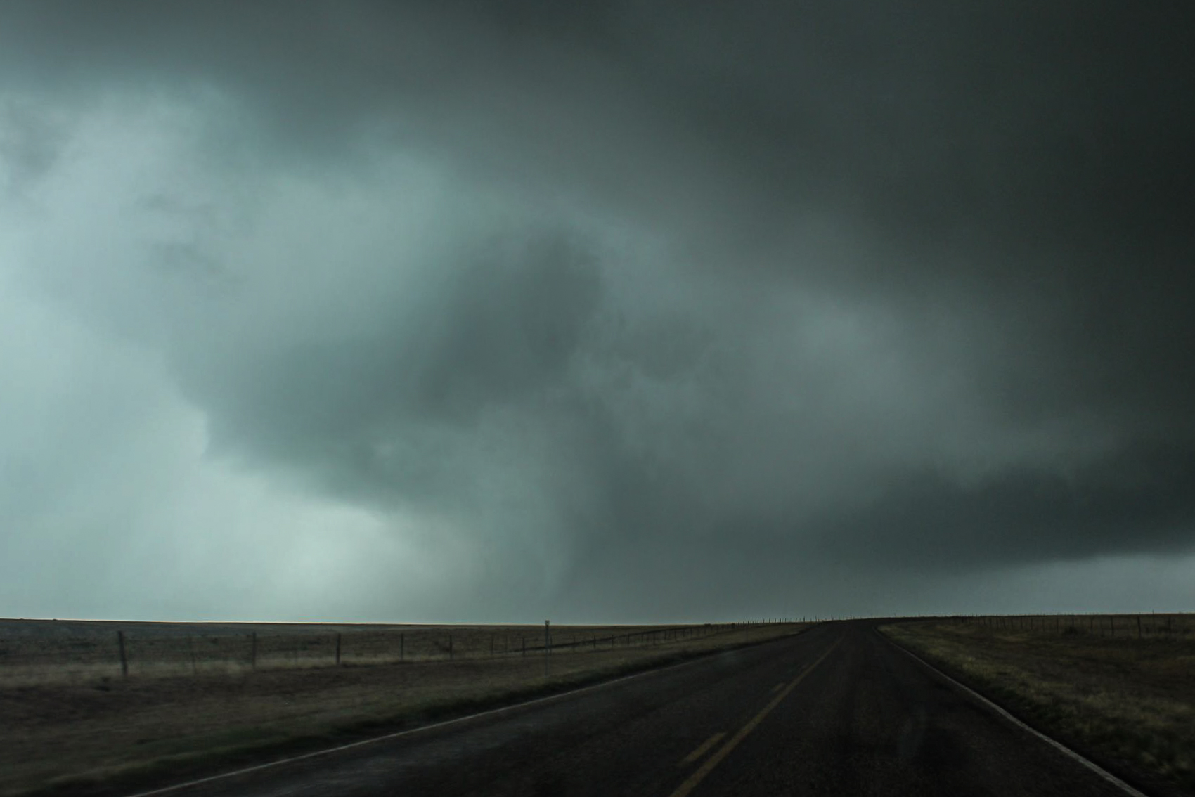
Besides the nice supercell updraft, you can see one of the many mid level funnel clouds we observed this day at the upper right.  Also, to the left and distant, the vigorous convection that would go on to produce the tornado at Andover.

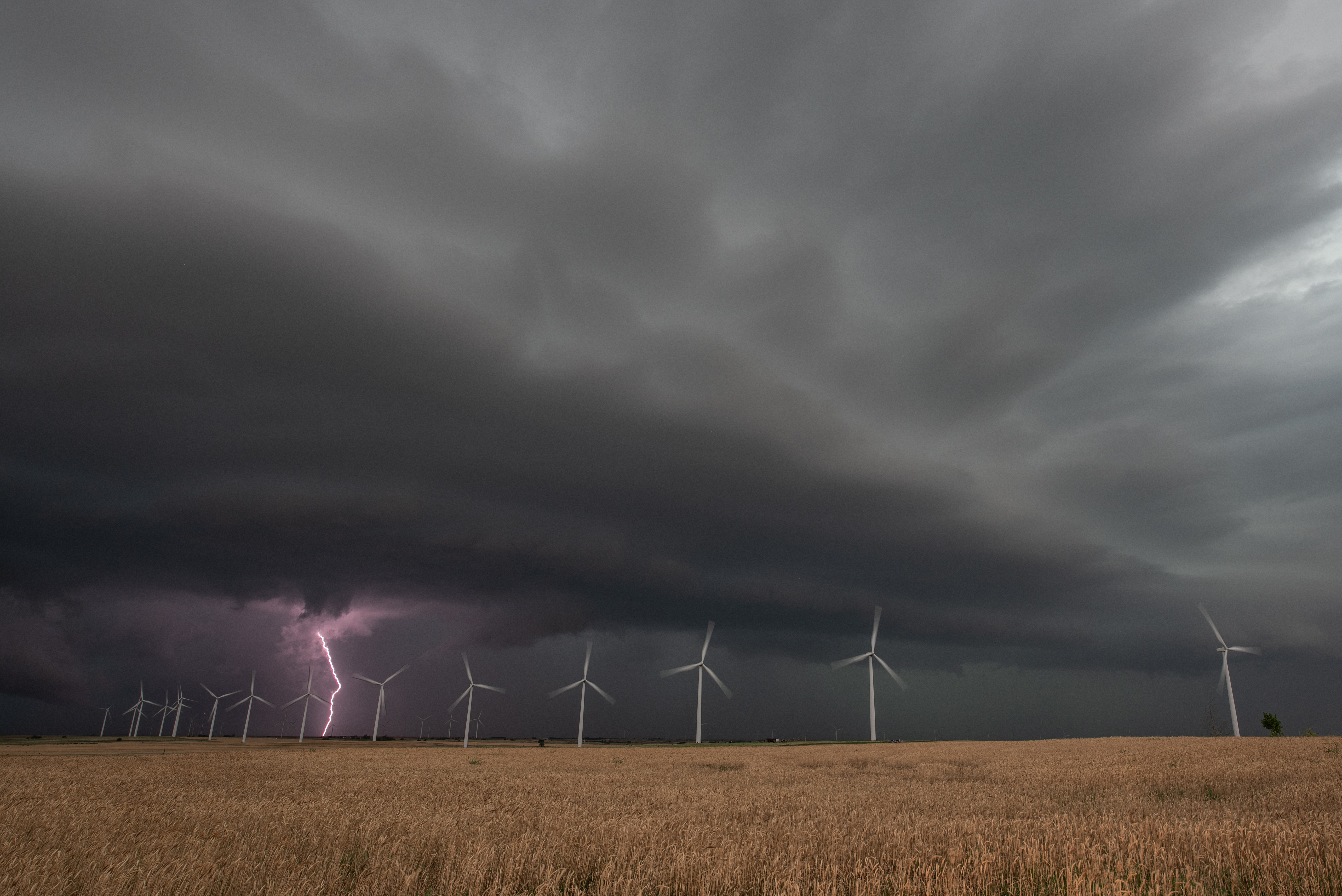
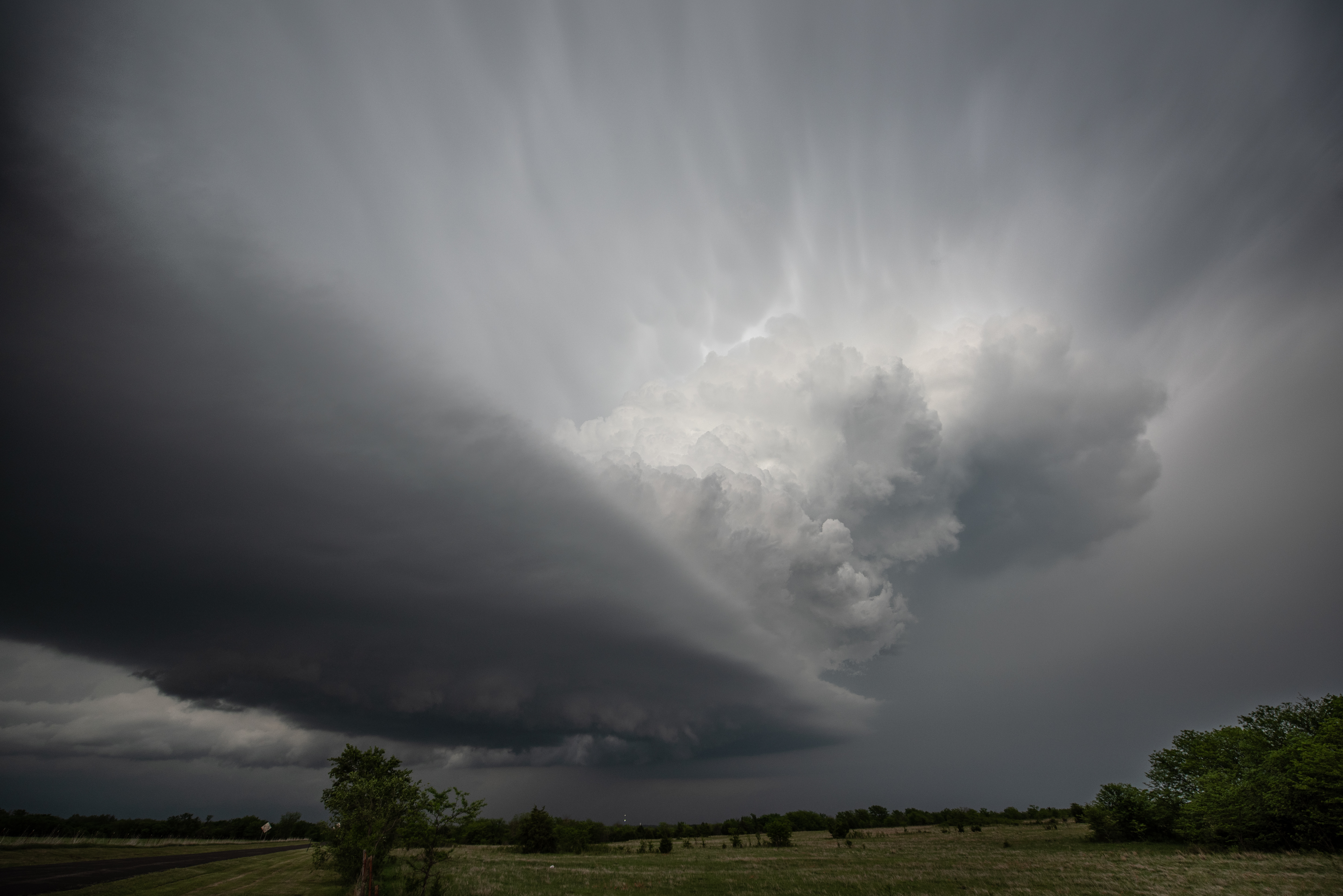
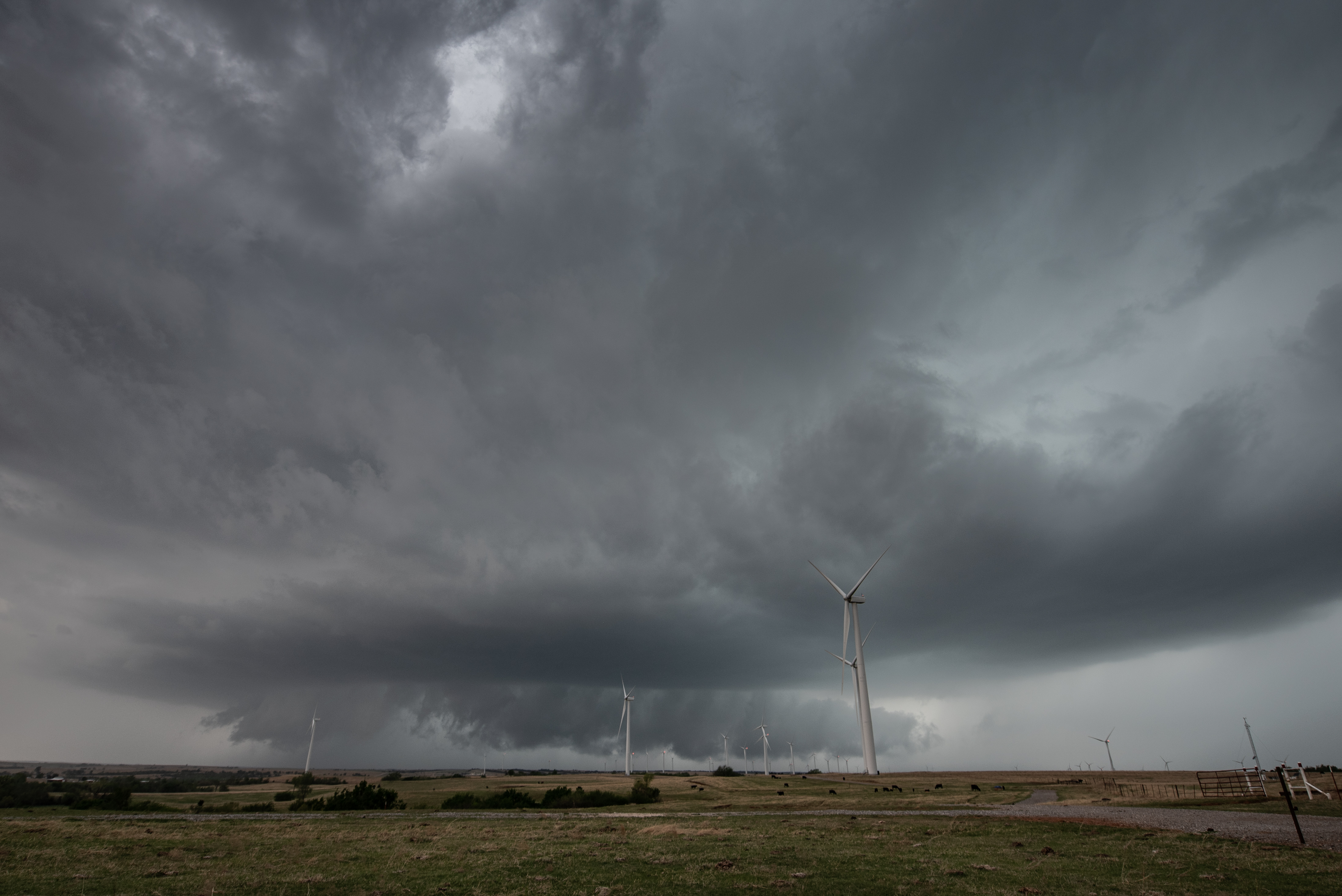
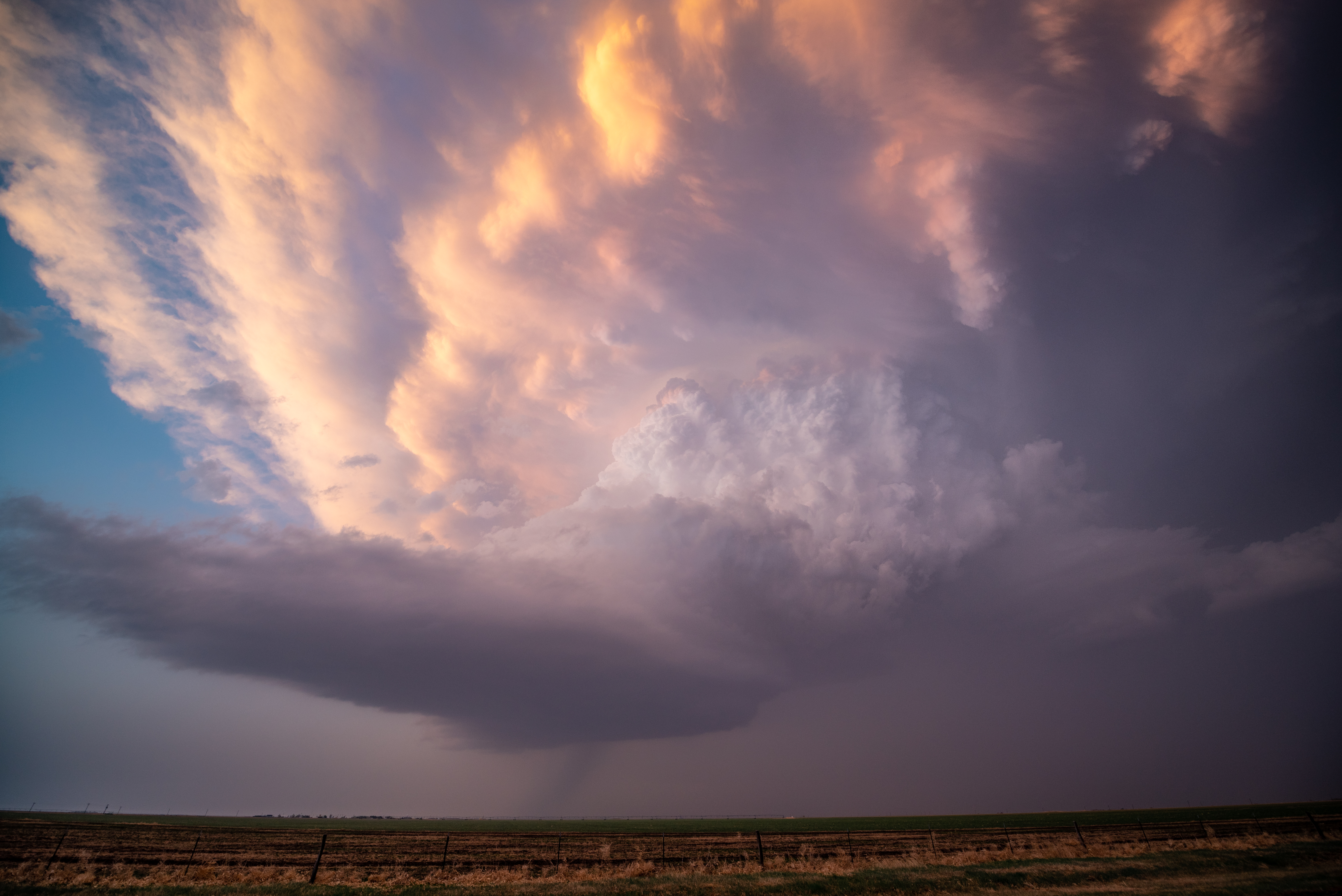
Later, the storm as it neared Potwin:

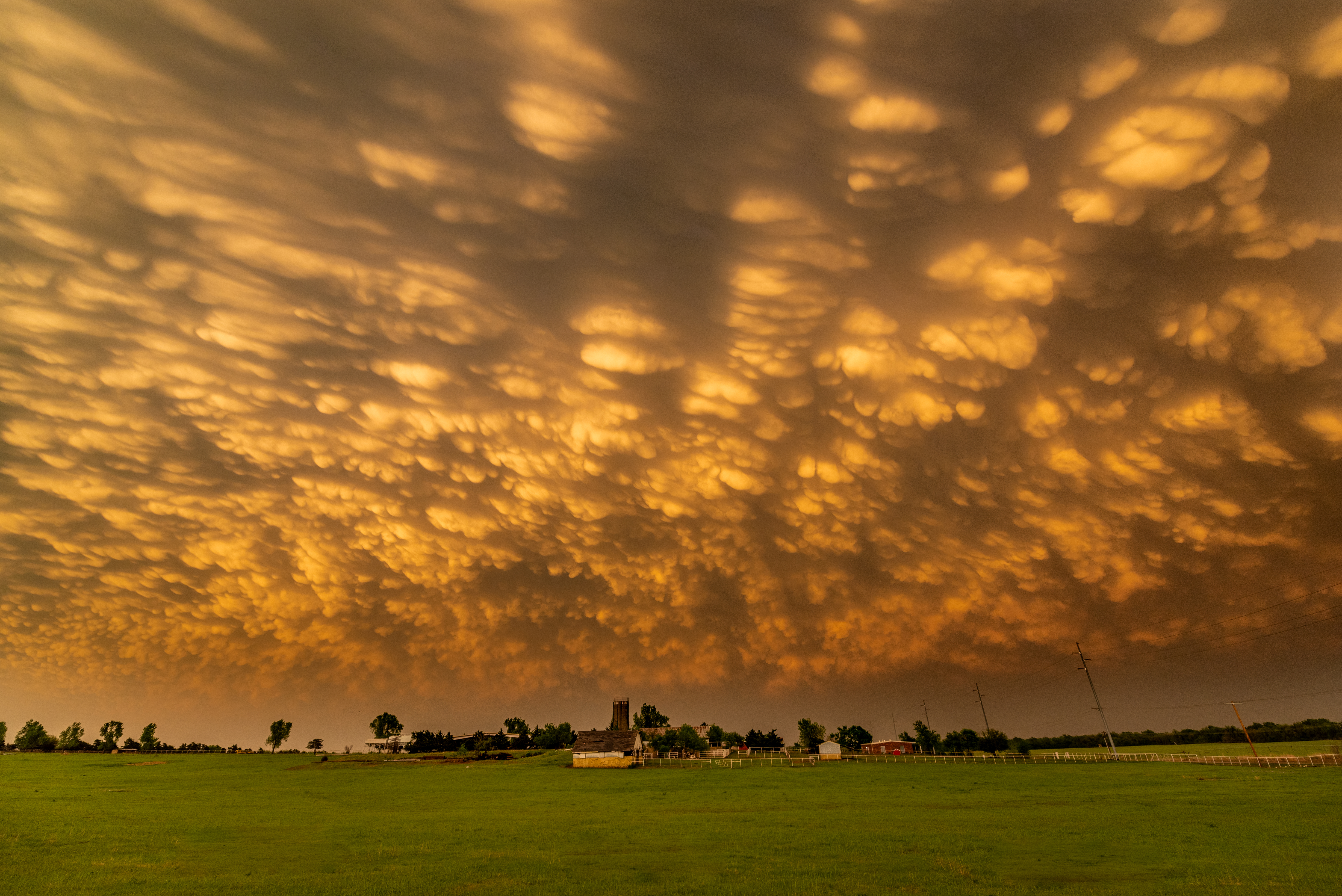
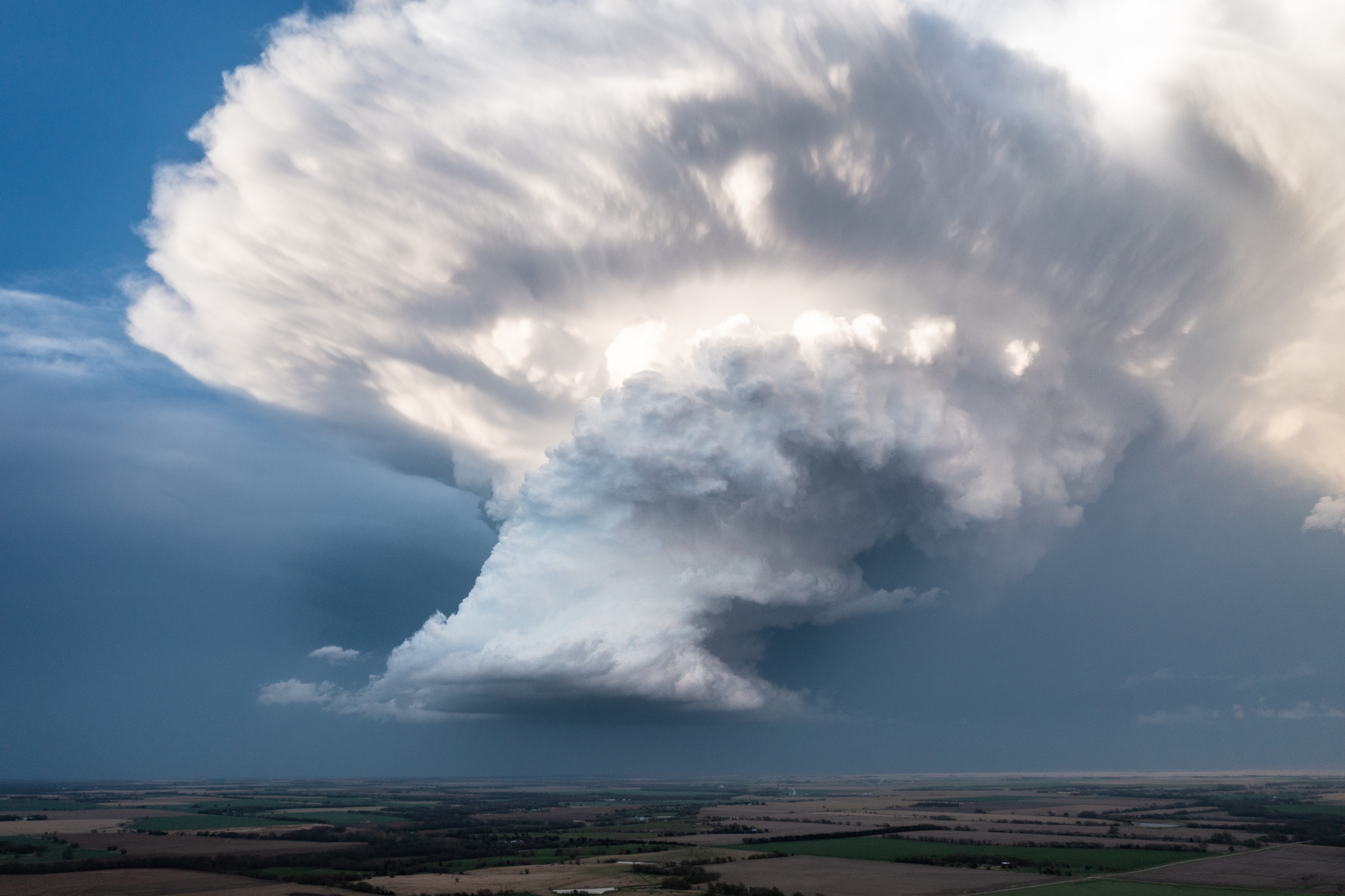
A final look at the storm from the view of the drone:


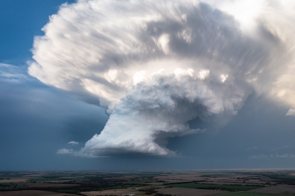
While this original storm was quite pretty, it always appeared that it had low volume and somewhat of a high base and was unlikely to produce a tornado.  After we pulled everything out of it we thought we could, we redirected south toward the storms that were organizing on the east side of Wichita.

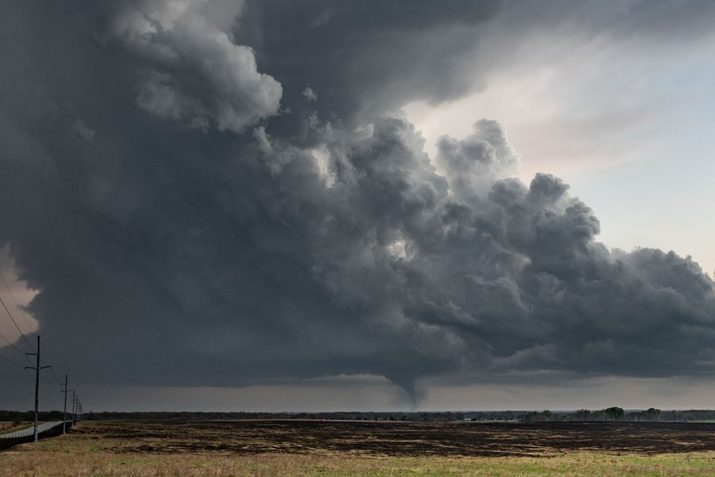
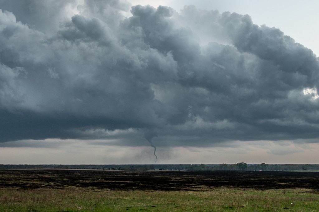
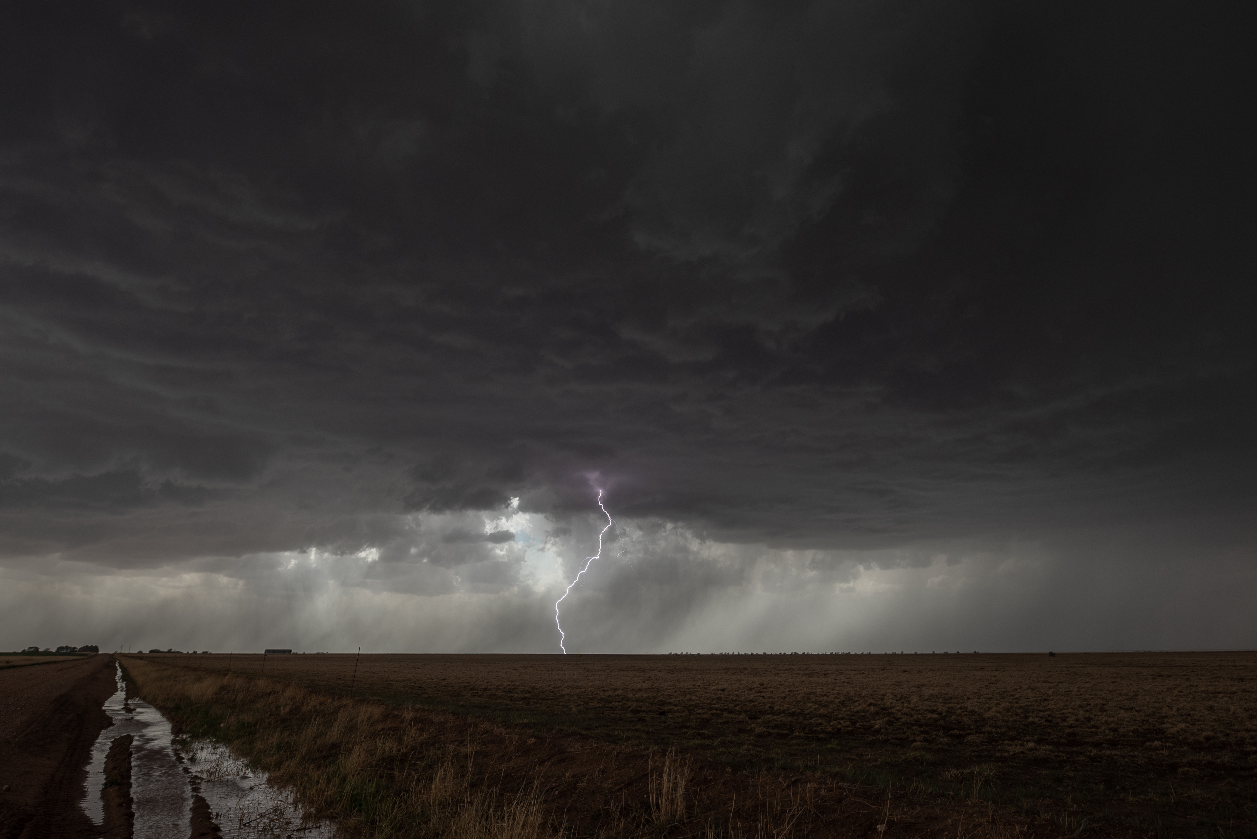
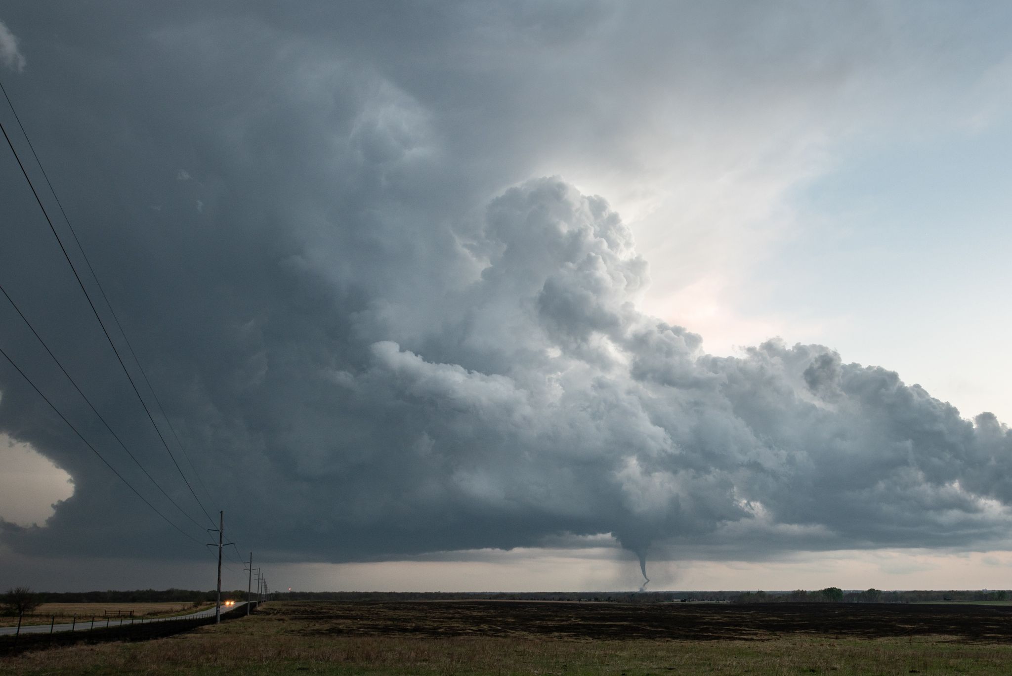
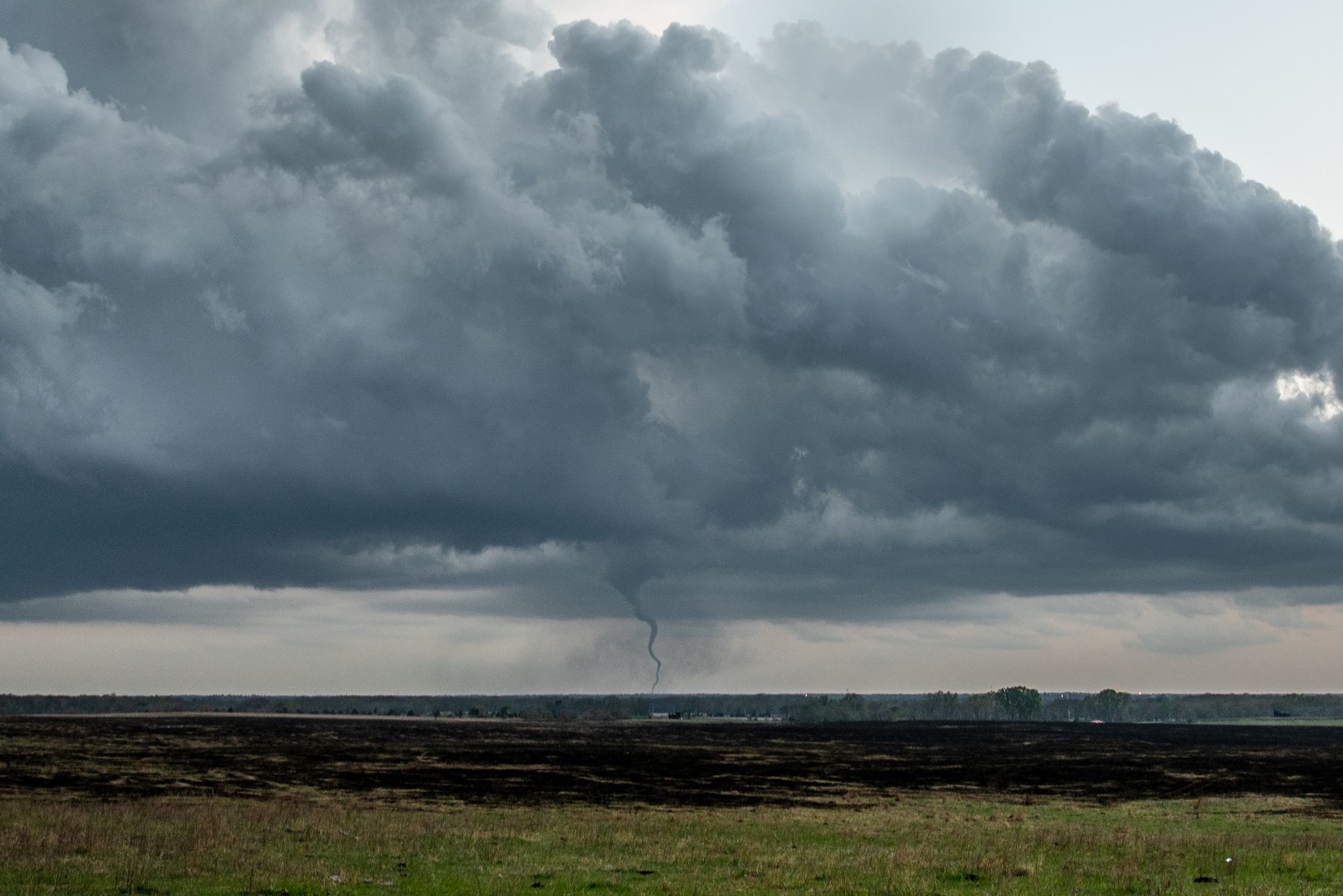
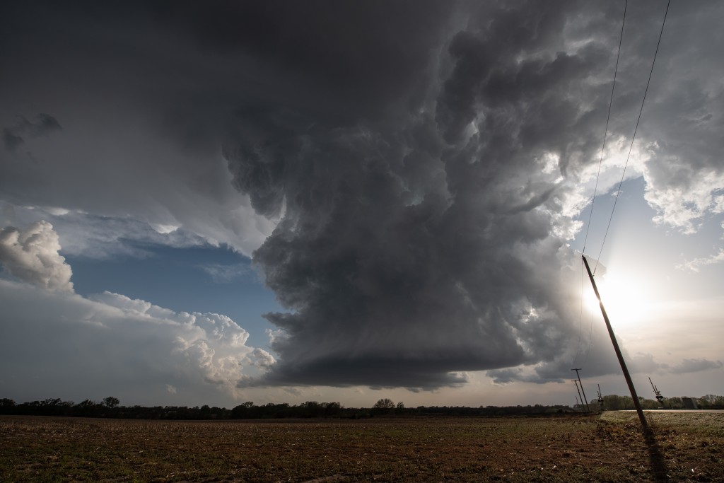
We weren’t very far in our southward trek when a funnel cloud became visible in the distance.  While still 20 miles away, we could tell when it had developed into a tornado.  We continued quickly south and made the decision that we would find a viewing spot and just accept viewing the tornado from a distance.  This did give us somewhat of a unique view of the combined storm and Andover tornado, and it continued to move closer to us, getting within 5 miles to our south southwest.

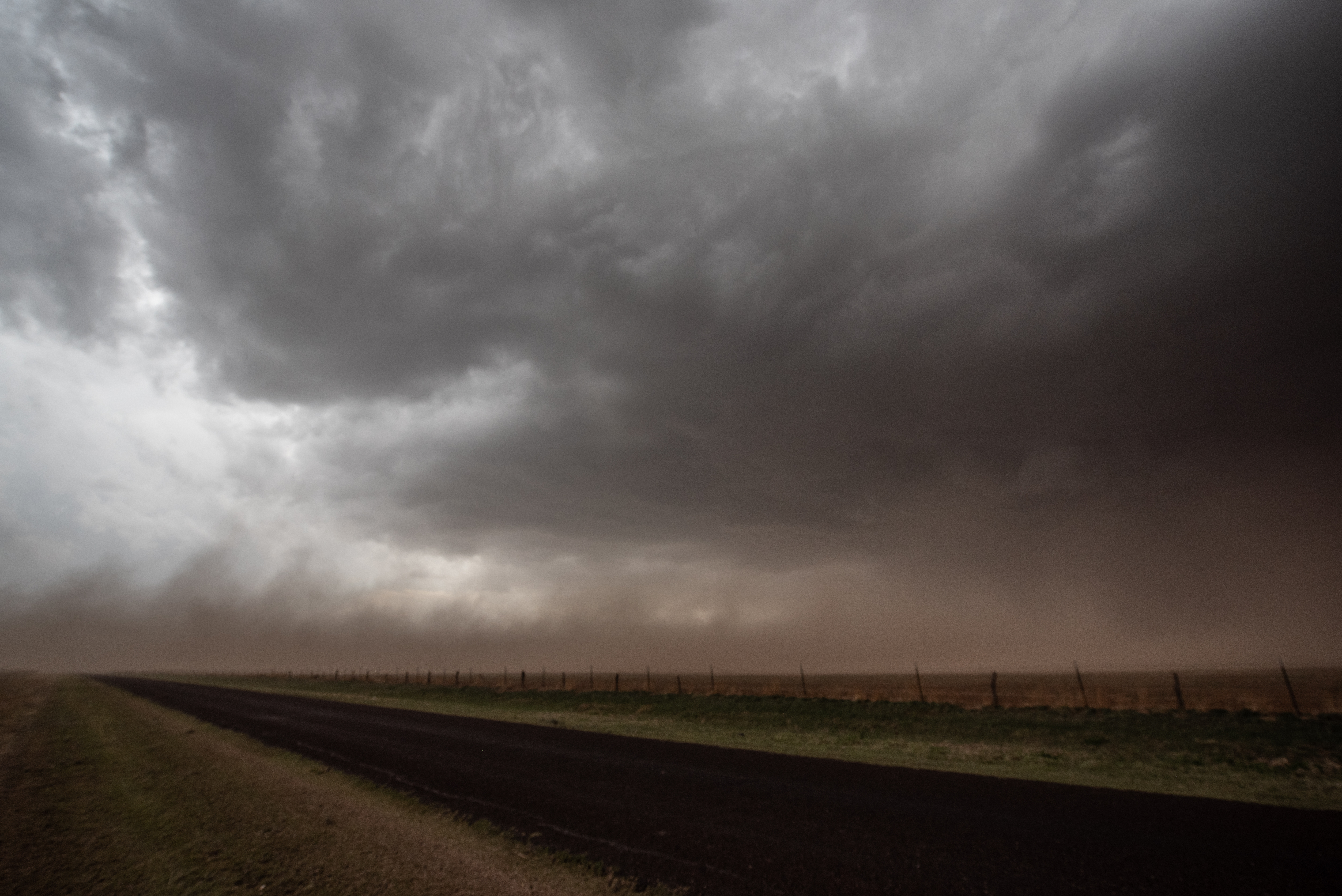
Images of the storm and tornado:


23 April 2022 – Central Oklahoma Supercells

This was a relatively short chase that took us south from Okarche, picking up our first supercell storm just west of Minco Hill.

After following this storm east and northeast, we elected to jump south to another supercell that was approaching Norman.  This storm looked less and less interesting with time and by sunset we started working our way back west toward Minco.  We made one final stop back on Minco Hill for some evening lightning.


22 April 2022 – Texas Panhandle Supercells

The first chase of the season took us to the Texas Panhandle where we had low expectations for tornadoes, but thought that well structured supercells were possible.  After hanging near the Claude exit on I-40 for a bit, we started north and stayed with storms  that developed west and southwest of Borger and Stinnett.  Eventually, a beautiful supercell evolved near Spearman.  In addition to the nice structure, we measured 2.31″ hail a few miles southwest of the city.  After sunset, we encountered another severe storm with hail larger than golf ball size in Miami, TX.  A few photos from the day: