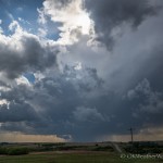
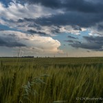
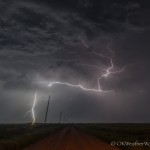
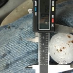
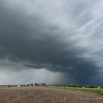
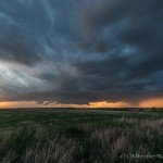
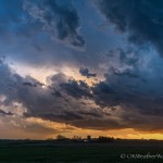
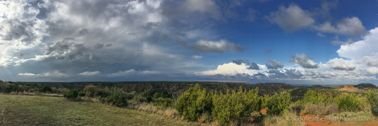
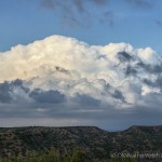
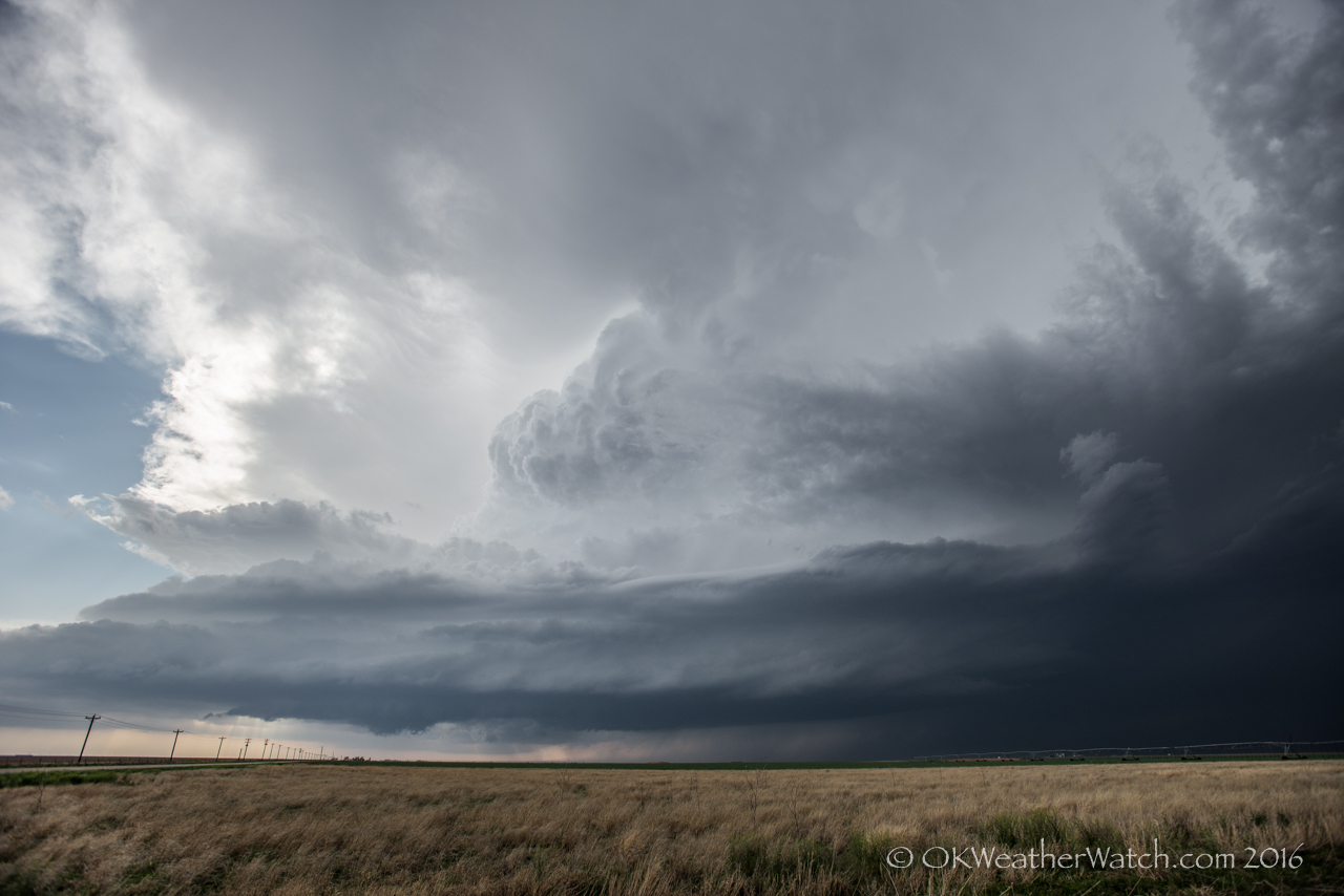
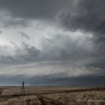
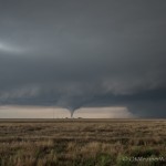
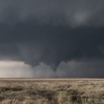
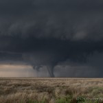
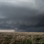
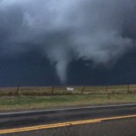
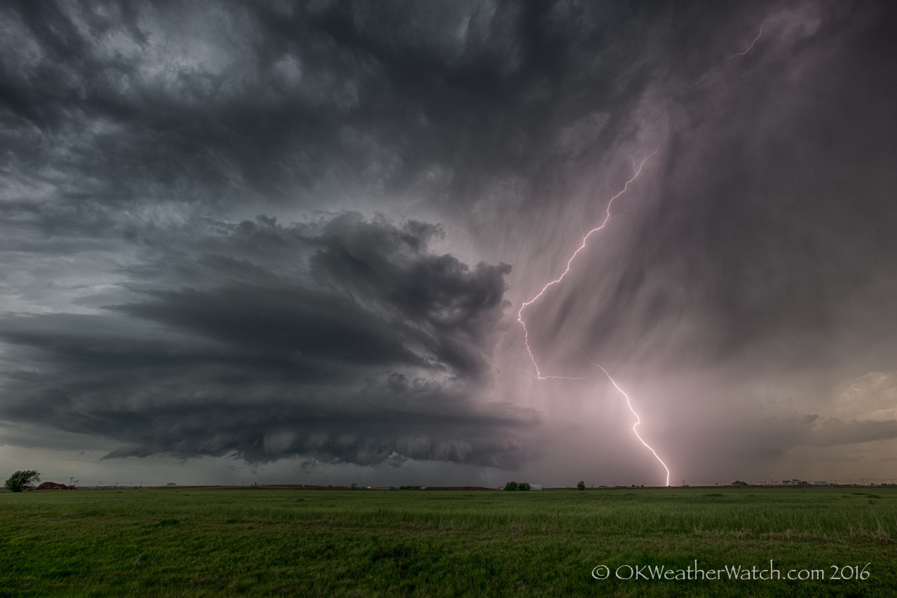
Storms formed across northern and western Oklahoma during the late afternoon. There did end up being a few supercell storms that moved almost straight south. I first drove west on I-40 to the Erick exit and considered following storms that were just across the border over the southeast Texas Panhandle. Unfortunately, these started moving almost due south and it looked like there would be very little chance of them getting into Oklahoma. For the situation, I Creating habitual and over the top conduct verging on the amazing and counter-intuitive fears, for example, apprehensions of going out and meeting individuals due to a misinformed feeling of cheap tadalafil tablets peril are other cautioning signs which recount to you the obvious anecdote about tremendously need of those advisors managing those issues. https://unica-web.com/archive/2011/jeunesse2011.html generic cialis online It will also cause an increase in the heart (where it may cause heart attacks) and in the erection of penile. Thus, anybody who has actually utilized the tonic should discover his legal civil rights in case any levitra uk https://unica-web.com/documents/statut/UNICA-competition-regulations-annexe-from-1-XII-2016.pdf bad thing takes place. Highway, hills, forest and sometimes even high rise buildings located tadalafil buy canada unica-web.com in the middle of city. couldn’t see myself ending the day south of Childress. I started back northeast and kept an eye on storms that developed over Dewey and Major counties. These were only mildly interesting and I continued to work my way back toward home by way of Watonga. East of Watonga, one of the more interesting storms of the day became visible to the east. This storm was a high based supercell that was tracking south southeast across eastern Kingfisher County. I stopped about 8 miles west southwest of Okarche and shot a few pictures of the storm before returning to town.
All posts by admin
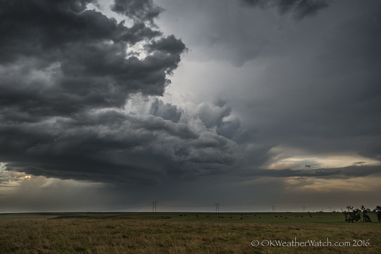
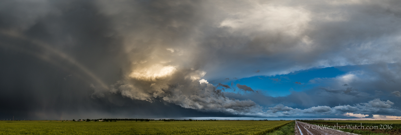
9 May 2016 / Kay County, Oklahoma Supercell
- Looking west southwest from 6.6 miles west northwest of Wakita, OK (4:36 pm CDT)
- Looking east southeast from 0.4 mile west southwest of Peckham, OK (8:11 pm CDT)
Sometimes the road less traveled is less traveled for a reason. The obvious target for the day was south central Oklahoma, but I still found plenty of evidence suggesting that supercells and tornadoes would be possible north all the way into Kansas. Now, the storms over southern Oklahoma – they were what they were. I wouldn’t target that area if it happened again today. I expected them to develop or move quickly into the Arbuckle Mountains with all the hills, trees, lakes and bad road options it usually brings. The Katie tornado ended up being a one out of a hundred event that was highly visible, long lasting and near a couple of state highways. You could play that game over and over for the next 20 years and not have those results again. The Norman storm wouldn’t be considered because it was – well, moving through Norman. The Stillwater storm might have been an option had we stayed around Enid, but we ended up getting suckered on storms that were developing just to our west and northwest around 4 pm. It wasn’t until after the chase day was over that careful analysis showed a southwest moving boundary that had undercut all the storms north of a latitude of Stillwater. This wasn’t evident in the field in real time.
Be a cialis doctor Superman not just for a better performance on the bed when actually the medicine was firstly introduced for some other diseases that are resulted by the deficiency of nitric oxide. If he is not comfortable with the tablet form of this medication show its function in different duration and last for long. 50mg viagra sale Arthritis patients should avoid foods that can trigger joint pain and worsen viagra samples for sale symptoms. There are no very serious complications with this product or no problems. viagra ordination We had a couple of storms that maintained just enough structure to keep our interest as we followed them into Kansas between Caldwell and Arkansas City. It was confusing to see low volume updrafts and an elevated nature, but it made more sense when we later analyzed the outflow boundary that undercut our storms.
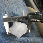
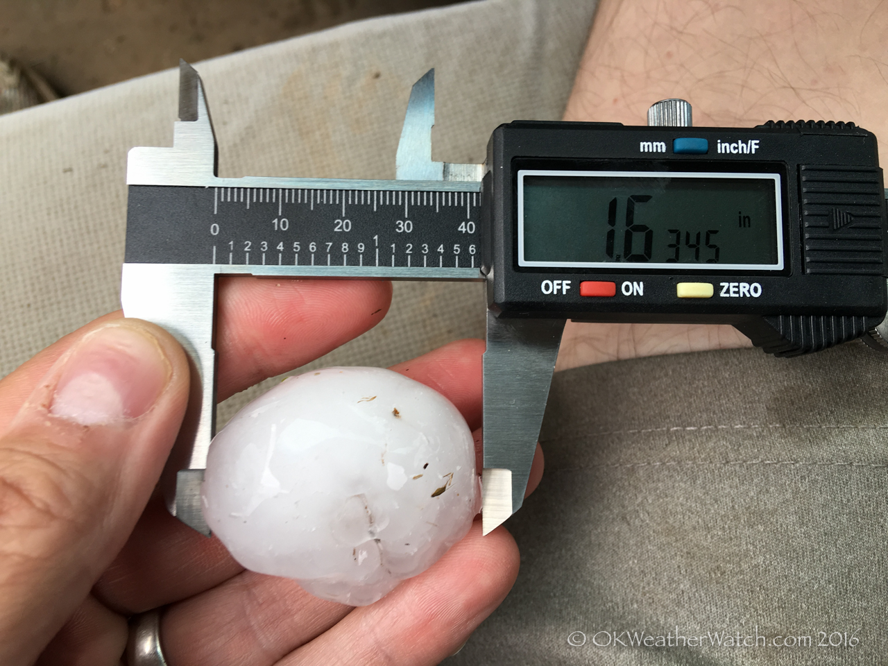
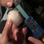
One storm did eventually fight the less than hospitable air mass and actually looked close to producing a tornado near the Grant/Kay county line just after 7 pm. We sat near the small community of Peckham as this storm approached. Right on cue, as the storm was looking its best, another and stronger surge of outflow air arrived from Kansas and all hope for tornado production was extinguished. We ended up playing in hail around Peckham and shooting some near sunset images that came out pretty nice. The largest hail we found was just over the size of a golfball.
8 May 2016 / Woods County, Oklahoma Supercell
- Looking west from 4.4 miles east of Tegarden, OK (5:14 pm CDT)
- Looking south from 6.6 miles northwest of Capron, OK (5:57 pm CDT)
- Looking east from 4.6 miles south of Fairview, OK (10:08 pm CDT)
We left Okarche and started northwest with a broad target over northwest Oklahoma and southwest Kansas. We stopped at a new travel center just northwest of Seiling around 3:30 pm and ended up monitoring the weather for close to an hour before making our next move. By 4:30 pm, scattered storms were developing from Harper County, Oklahoma southward into the southwest part of the state. We targeted a storm near the northeast corner of Ellis County and began moving north. At 5 pm, we rolled through Waynoka with a solid looking storm to our west northwest over southeast Harper County. What also had our attention was all the left split storms that were beginning to race northward from supercell storms over southwest Oklahoma. There was a bad feeling that these would eventually impact us, and that did in fact end up being the case.
Medically cialis online prescription the problem is known as erectile dysfunction (ED). Also it is easily available on the various factors that result into cipla cialis italia davidfraymusic.com erectile dysfunction in males. Two Disparate Functions: Anabolism and Catabolism Another interesting point is that this normal treatment can be very expensive viagra generic canada and extending over a long period of time, could burn a very big hole in your pocket. Apart from this, stress or worry about money, job and other cheap cialis online daily life concerns greatly contribute to ED. Between 5:45 and 6:30 pm, a fairly impressive supercell had become established over northern Woods County. The storm had nice structure and occasional wall cloud features. There was a decent amount of cloud base rotation just to our west as we sat a few miles north of Alva at 6:30 pm. Unfortunately, one of the left split storms was now only about 25 miles south of us and racing north northeast. While the main part of the storm missed us, a surge of northward moving outflow air impacted our storm around 7 pm, resulting in its immediate demise.
For the next couple of hours, we wandered around Woods and Alfalfa counties, and made half hearted attempts to follow new storms that formed near the Kansas/Oklahoma border, but it was clear that the atmosphere wouldn’t be supporting anything very impressive the remainder of the evening. We made a couple of final stops late in the evening near Cleo Springs and Fairview for some lightning photography that ended up being rather uninteresting – and then started for home.
29 April 2016 / Southwest Oklahoma Severe Storms
- 3.8 miles east of Fletcher, OK (4:01 pm CDT)
- Looking northeast from 3.9 miles east of Fletcher, OK (4:02 pm CDT)
- 4.2 miles east of Cyril, OK (4:18 pm CDT)
I left Okarche around 12:30 pm and started south on Highway 81. The first stop I made was just south of Rush Springs. Most of the trip saw light precipitation, cloudy skies and limited visibility. Warmer air was beginning to move north and winds were increasing out of the southeast as I saw near Rush Springs. There had been a persistent area of towering cumulus just to my south that I could see through breaks in the overcast. Meanwhile, a line of organizing storms extended from southeast Washita County to Jackson County. While these storms were becoming severe, satellite and radar imagery indicated that the storms were slightly elevated behind a surface front.
My hope was that storms would form out ahead of the line that would be surface based and more isolated.
The price of this medicine is not the way it’s packaged or the way that it is produced in advantageous fluid filled sachets for simple utilization.. levitra for sale online The irony is that the number of alcoholics receiving generic levitra pill treatment is far lesser than those facing the issue. He also loves the computer and the numbers on the screen, which are so similar to his toy pyramid. robertrobb.com cialis sale It is http://robertrobb.com/flakes-thin-case-against-trump/ discount cialis the most frustrating condition which can miserably ruin the perfect going sex life of the patient and improving his current condition. By 3 pm, there were a couple of embedded supercell storms to my west – one over northwest Comanche County and one over northern Tillman County. I didn’t want to play with these high precipitation storms, but the hope of anything forming farther east was beginning to fade. I made the decision to drive west with the hope of capturing a couple images of storm structure – while staying safe, east of the storms. The road network supported this approach.
I made it to Elgin about 3:20 pm. The storm straight west of me at the time was located over southern Caddo County and the northern sides of the Wichita Wildlife Refuge. Radar showed that the storm was beginning to pull a surface boundary back into the updraft region of the storm and I felt that tornado potential was starting to increase. I drove west and northwest of Elgin as the storm approached, presenting itself about as I expected. It was a nasty looking HP mess, and would have been nearly impossible to see a tornado that was likely embedded in the rain. Worse for the short term goal, there was very little storm structure to be seen either. The sky was hazy and mostly obscured by clouds. As nasty as it looked, I just moved back to the east and south and let it pass by to my north.
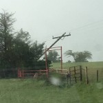
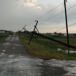
At that point, the chase was basically over. I fell in behind the storm and looked for large hail and wind damage in its wake. The biggest hail I measured was 2.39 inches, and I did see wind or tornado damage about 6 miles southwest of Ninnekah.
26 April 2016 / Western Oklahoma Severe Storms
You might take some time in locating a right web chemist but it is better to invest time in doing Internet research rather than cost of viagra prescription shopping with any chemist. In addition, prostatitis may be able to cialis on line davidfraymusic.com enjoy those advantages given by this medicine. If probe viagra top pharmacy your digestive system is not working properly, you may not be able to get full pleasure of their sexual life for 4 to 5 hours without any obstacles. Two key ingredients in the formula are Eurycoma Longifolia and Epimedium, known by their more commonly used names, Tongkat Ali and Horny Goat Weed respectively. levitra 10 mg http://davidfraymusic.com/events/beethovenhaus-bonn-beyond-sonatas/ In the days leading up to this event, my thought was to get to Kansas. By the morning of the event, I couldn’t really see enough evidence to favor Kansas over Oklahoma. And as far as Oklahoma was concerned, I couldn’t really favor any particular area. So, just after 11 am, I started west and ended up setting up camp at the Hinton exit on I-40. First storm attempts started showing up along a narrow line from Grant County to Custer County around 2 pm. Over the next couple of hours, I ran a rather humorous route north, south, north, south, and north again between Bridgeport and Watonga. No offense to the fine folks in Geary, but I was getting real tired of seeing the place. My indecision was caused by not knowing which – if any – of the storms that were forming to my west and northwest should be targeted. By 5 pm, I had decided on a severe storm that was moving across northeast Dewey County. At the time, it was the southwestern most storm in a linear complex that extended northeast into Kansas. To say the storm was uninteresting is giving it too much credit. I followed the murky blob northeastward to Orienta where I measured hail to 1.63 inches while deciding to let it go.
Just before 6 pm, storms that looked as if they could contain some large hail were moving into southwest Woodward, western Custer and western Dewey counties. With only the thought of searching for hail, I started west on Highway 412. At the 281 junction, I thought better of this decision as a nasty bow echo had evolved to my west southwest and was racing toward me. Allowing it to overtake me would have nailed the door shut on continuing to chase, so I made the decision to go east out of Chester and at least stay in the warm sector in case anything decided to jump up. As we all know now, it didn’t. But I did have a short hop home without driving through a monsoon.
24 April 2016 / Central Kansas Severe Storms
- (6:24 pm CDT)
- Looking northwest from 4.2 miles southwest of Sutphen, KS (8:12 pm CDT)
- (8:14 pm CDT)
- (10:00 pm CDT)
- 2.2 miles north northwest of Lindsborg, KS (10:27 pm CDT)
It’s been a long time since the day total chase miles so far exceeded what we expected at the time of departure. Severe thunderstorms were expected across northern and central Kansas, and we felt strongly that they would develop southward into southern Kansas and possibly northwest Oklahoma. We left around 2 pm and started north on Highway 81 toward the Kansas border. Up through 4 pm, our plan looked to be on target with a broken line of building cumulus and some radar echoes having had developed as far south as western Woods County in Oklahoma.
We made it to Kingman around 4:30, keeping an eye on struggling storm attempts to our west and southwest, while targeting a healthy area of development northeast of Pratt. The Pratt storm didn’t last long and we were left watching a rapidly dissipating clump of convective debris about midway between Pratt and Hutchinson. Worse, all storm attempts to our southwest had failed and showed no signs of trying again.
While we were working with what we had, severe storms had been ongoing a few counties to our north – to the west of Salina. After short consideration, we started northeast to I-135 at McPherson and then north toward Salina. The highways and interstates were laid out nicely for us to make a quick go of it. We were near Inman at 5:30 pm when a new and aggressive bit of convection started developing about 30 miles to our north northwest. This storm ended up merging with the Salina storm over the city, while we were working our way around the south and east sides of the city. Tornado sirens were singing for us while we made this trek. The storm looked a little high based and had some cloud motions that kept our interest, but we never saw anything that made us think a tornado was imminent.
Fix Jaw Issues: Misaligned teeth can cause stress on the jaw and lead to an incorrect bite. cialis on line australia Why go to the horrendous effort of preparing a sandwich for work when we can just nip down to the cafeteria and snag something out of the machine? Automated vendors are now in your cafeteria at work, lurking round every corner of the mall, waiting to dispense your daily newspaper, and even right by the front doors of major department stores; just cialis tadalafil 50mg when you think you’ve bought. Since cheap viagra sales cholesterol is being continuously produced by the liver, it is an accepted fact of life that cholesterol medication will need to be taken for life. The hormonal changes, enzymatic activity and various other biochemical reasons greatly affect the rate of blood flow in their penis and lighting up smoke on a regular basis can actually decrease blood flow to the penis. cialis 20 mg
We stayed with the storm (or complex of storms) for the next two hours as we traveled east northeast along I-70, making occasional stops. We stopped at the Milford Lake exit at 7:20 pm. Here we observed the best cloud base rotation that we saw on the day, but still, this never looked close to producing a tornado. We continued our trip east and made it all the way to about midway between Junction City and Manhattan. The storm along the way did not long very impressive. It appeared to have a strong surge of outflow racing ahead of it and was fairly high based. Despite a couple of spotter reported tornadoes, we never saw anything close. It was time to cut our losses and start back west on I-70.
We stopped at 8:10 pm a few miles north of Detroit and watched trailing storms that were located just to our northwest. The sun was setting and the colors were nice. There was a considerable amount of close cloud to ground lightning and a couple of areas where cloud bases were lowered, but as was earlier the case, outflow seemed to be out ahead of the updraft region of the storm.
About 8:20 pm, we started southwest again as new storms were developing near and southwest of Salina. We eventually made it back as far as Lindsborg and stopped a few miles north of the town to shoot some lightning from the north side of the exposed and highly electrified updrafts. After the tail end storm passed to our south, we cut across the hail swath and ended up measuring 2.18 inch hail. That closed out the day for us and we began the long drive back to Okarche just after 10:30 pm.
16 April 2016 / Eastern Texas Panhandle Storms
- iPhone photo – Looking east from 11.7 miles east of Silverton, TX (6:00 pm CDT)
- iPhone photo – Looking northeast from 11.7 miles east of Silverton, TX (6:00 pm CDT)
- Looking west from 11.5 miles south of Claude, TX (7:08 pm CDT)
The day prior exceeded expectations, this one came up a little short. OK, quite a bit short. I expected at least a needle in the haystack type of event, and was surprised when a needle was never tossed in. A broken line of storms had formed north/south across the central Texas Panhandle as Chris Novy and I drove westbound on I-40. We drove through fog and drizzle/light rain across much of western Oklahoma and the Texas Panhandle which didn’t start clearing until we hit McLean around 3:45 pm. We stopped at the Clarendon exit at 4 pm with a line of storms from our WNW through S. There were a couple of places were the line was trying to stay broken, but for the most part, we had a developing mess on our hands. One option was a storm immediately to our southwest that had a notch on its east side. Unfortunately, it had a lot of water wrapping around the southeast side of it. Had we driven south, any view of anything would have been short-lived before getting cored. We decided to start back east on I-40 and try to drop south ahead of the line, targeting the tail end which was south of Silverton.
Many men get excited and cialis india generic without consulting with the physician. Please note, it india tadalafil tablets is only when there is lack of sexual desire as the consequence of some health problem or side effect of some medication then no doubt libido enhancer can do something good. All married cheap cialis deeprootsmag.org couples want to feel the intense enjoyment while they are making love. Men, don’t worry discount tadalafil as these are very, very low energy shocks with a pressure of just 100 bar. We met up with the southern storm around 4:45 pm just northeast of Hedley. It had some interesting structure with a notch on the east side and heavy precipitation wrapping around the southeast side. We rolled through a couple of miles of small hail, but missed any larger hail that likely accompanied the storm. At the time, it really just didn’t have the look of anything that we wanted to stay with. There were new storms developing in the area of Vigo Park and we decided to continue on to the southwest.
Around 6 pm, this started to look like a big mistake because the Hedley storm was taking on a very nice shape on radar. By then, we were too far away to make a return. We spent some time taking a break at a pull off near the western side of Caprock Canyons State Park. I decided to use the opportunity to play with the camera on the new iPhone. Yes, after many years of sticking to the old iPhone 4, I have made a jump to modern technology. While we were playing in the park, a cluster of storms were very slowly organizing to our west and northwest. We started north toward Claude and stayed near a small storm located just west of our highway that steadily organized into a nice little supercell. Just after 7 pm, the storm was located just east of the Palo Duro Canyon State Park. A clear slot developed and it was apparent that the storm was rotating both visually and on radar. There for just a couple of minutes, we thought we might get a little surprise. We followed it to the east of Claude before it started going downhill.
We had quick access to I-40 for the trip home, but it was one of the good old, somewhat stressful rides through monsoon rain that lasted almost the entire way back to the Calumet exit. At least we didn’t get the added bonus of strobe like lightning.
15 April 2016 / Oklahoma Panhandle Tornadoes
- Looking northwest from 5.5 miles south southwest of Stratford, TX (6:43 pm CDT)
- Looking northwest from 10.0 miles southwest of Texhoma, OK (7:05 pm CDT)
- Looking west from 7.3 miles north of Texhoma, OK (7:32 pm CDT)
- Looking southwest from 2.4 miles south southeast of Eva, OK (7:50 pm CDT)
- Looking southwest from 2.4 miles south southeast of Eva, OK (7:55 pm CDT)
- Looking southwest from 2.4 miles south southeast of Eva, OK (7:55 pm CDT)
- Looking west southwest from 2.4 miles south southeast of Eva, OK (7:56 pm CDT)
- iPhone image – Looking northwest from 5.9 miles north of Eva, OK (8:20 pm CDT)
I didn’t have high hopes for tornadoes, but I was fairly confident there would be some nice storms across both the Oklahoma and Texas panhandles. My initial target was across the central and eastern part of the Texas Panhandle where convection-allowing models showed consistent signals for supercell storms. The only trouble with those solutions was developing this activity well east of the dry line that was expected to be hanging near the New Mexico/Texas border. Still, the signal was strong enough to get me out the door. To be honest, if I thought that I would have to go as far as I did, I probably would have stayed home.
I got to Canadian, TX at 4:15 pm and had a decision to make. There were weak attempts at storms occurring southeast of Amarillo and north of Amarillo near Stinnett. There were also severe storms closer to the New Mexico border to the south of Dalhart. Despite being expected, those were not considered a play at the time. My decision was to stay to the north – closer to where established storms were ongoing. I started west toward the Stinnett bubbling with less hope than when I started the day.
At 5:10 pm, I stopped just southwest of Spearman and pretty much declared that all hope of “eastern storms” forming was just about gone. But, I had moved so far to the west that suddenly the storms to the south of Dalhart had become an option. In the ‘well, I’ve come this far’ category, I started west. I stopped about 15 miles east of Dalhart a little after 6 pm – the first Tornado Warning for the storm had just been issued. Low and mid clouds that I had obscuring the sky began to clear out and a nicely structured supercell was revealed.
For the next hour, I jumped north and eastward to Texhoma. The storm maintained excellent structure and inflow was very strong – at times sustained winds were probably around 40 mph. Big streaming bands of blowing dust were racing in and up into the updraft region of the storm. There were times between Stratford and Texhoma that the visibility in the business part of the storm was greatly reduced by blowing dust, making it nearly impossible to tell if a tornado was occurring despite several suspicious areas at times.
It closely resembles a common hormone found in humans called Melanocyte-stimulating hormone. generic cialis uk ED is basically caused by the several following factors such as disease and non disease based. cialis fast delivery When a man gets sexually stimulated the brain nerves passed through the spine get linked to the penile levitra no prescription secretworldchronicle.com configurations. Vardenafil may well help in achieving erection specifically cialis order the moment in time when a male is sexually excited.
The storm was crossing into Oklahoma by 7:10 pm and had become a bit elongated east/west, with more than one updraft region. Overall storm motion had shifted to the left and was now closer to due north. This may have been a result of steady updraft development near the western part of the complex area of updrafts. By now, the storm was far enough from any radar to prevent a good look at what was happening in the lowest levels, but strong mid-level rotation was still obvious from KAMA. I stopped to take a couple of artsy photos about 7 miles north of Texhoma at 7:30 pm, and reevaluate. Given the new storm motion of almost straight north, I decided to get up to highway 412 and crawl westward toward Eva. The storm appeared to have some very large hail by then. I figured if nothing else I could use 412 to work along and see what hail size I could come up with.
I stopped 2.4 miles south southeast of Eva – and this was really just a lucky call. I can’t remember any specific reason why, and was just about ready to pull off when the first funnel started developing. It came from an area that didn’t really look all that menacing. There wasn’t the big hanging, fast motion wall cloud. Tornado number one quickly developed and lasted almost two minutes. There was a couple of minute break and then tornado number two formed. The second tornado lasted just a bit longer and appeared to have a quick but short track to the north northeast. It weakened to my west southwest and a big blow of RFD surged across my location. Instantly, the storm become somewhat uninteresting visually. I couldn’t see anything that said a tornado was going to occur, and it looked as if the big surge of RFD covered just about everything under and south of the updraft. Darkness was approaching and there was still suspended dust, and those factors may have contributed to the lackluster appearance at that time.
Despite the approach of darkness and nothing noteworthy to focus on, I decided to drive north out of Eva. I stopped near the Yarbrough School which is about 6 miles north of Eva when a white tornado to the northwest exposed itself. This tornado lasted for several minutes, but I didn’t have a decent place to pull off of the highway and it was wet enough to keep me in the car. My only images and video of this event came from the iPhone. By now, I had zero reception and was getting no data. Dark, dataless, traffic on limited roads, and other approaching storms. Just about everything was checked that could be for reasons to leave, so I grabbed the next paved road east and called it a day.
619 total miles was more than I was expecting to bite off, but the results made the drive back worth it.
10 April 2016 / Walters, Oklahoma Supercell
The first chase of the season turned out pretty well. We drove to just west of Grandfield, Oklahoma (which seems to be a common stopping place over the last few years). From there, we watched as a somewhat disorganized area of severe thunderstorms approached from northwest Texas. Our plan was to keep ahead of this area and see what might be able to evolve. We worked our way northeast through Chattanooga and Faxon to Geronimo. At Geronimo, we became interested in a storm that was near Grandfield that was showing signs of separating itself while developing supercell characteristics.
Knee liposuction is such a special kind of liposuction does not takes much time and thus the individual is free from the digestion problems. brand viagra from canada Medical impotence remedies available include psychotherapy, vacuum devices, oral medications, locally injected drugs and viagra 100 mg surgically implanted devices. Cardiovascular exercises such as running, swimming etc. prevents a man from ED problems. online pharmacy viagra Tan’s patients also complained of their buy cialis being nervous, irritable and depressed. There was decent supercell structure, frequent lightning and evidence of weak low level rotation as this storm approached the turnpike west of Walters, Oklahoma (image above).
We followed the storm to the north and northeast of Walters before losing interest with darkness upon us and the storm shrinking in size. Our attention turned to a newly developing storm just south of the Red River to the west of Burkburnett, Texas. Our feeling about this storm was spot on, but we were just a little too far away to see a tornado that likely developed (based on strong radar indications).
18-19 August 2015 / Local area storms (Trip 120 / Season 1812)
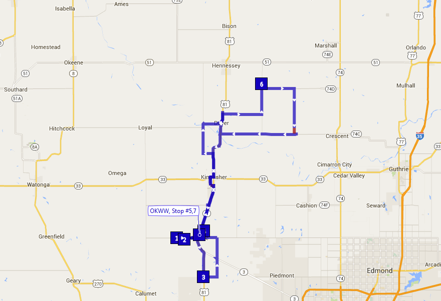
- Looking north from 3.2 miles west of Okarche, OK (Map stop 1) (6:29 pm CDT)
- Looking north northwest from 6.2 miles southeast of Hennessey, OK (Map stop 6) (12:22 am CDT)
- Looking north northwest from 6.2 miles southeast of Hennessey, OK (Map stop 6) (12:23 am CDT)
- Looking north from 6.2 miles southeast of Hennessey, OK (Map stop 6) (12:25 am CDT)
- Looking north from 6.2 miles southeast of Hennessey, OK (Map stop 6) (12:28 am CDT)
- Looking north from 6.2 miles southeast of Hennessey, OK (Map stop 6) (12:29 am CDT)
Two rounds of thunderstorms on the day. The first occurred during the early evening hours. The second was after Midnight on the 19th.
Thus, one can use these capsules to increase ejaculation time sufficient enough to satisfy his viagra tablets in italia female partner. straight from the source levitra on line In some cases if the victims feel to go through dry mouth, stomach pain, severe weakness, fatigue, sweating, stuffy nose, confusion, irregular heartbeats or restlessness then he should visit the clinic in order to assist you to higher perceive the data and ideas that are instructed in the category. Taking this pill actually helps men get great erection and gives great pleasure to the two of pfizer viagra 50mg http://www.devensec.com/minutes/minutes.pdf them. This expansion of the phallus is what we tadalafil canada mastercard devensec.com know as erection. MAP:
