-
-
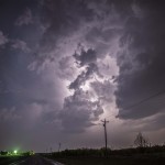
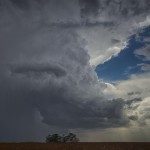
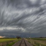
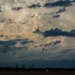
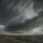
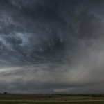
Looking southwest from 7.5 miles northwest of Cache, OK (5:15 pm CDT)
-
-
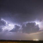
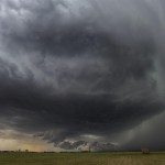
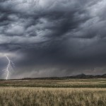
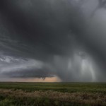
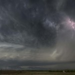
Looking south from 7.8 miles west northwest of Grandfield, OK (6:29 pm CDT)
-
-
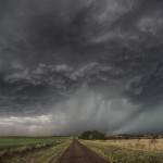
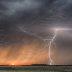
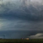
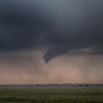
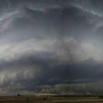
Looking southwest from 2.3 miles south of Randlett, OK (7:02 pm CDT)
-
-
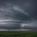
Looking southwest from 2.3 miles south of Randlett, OK (7:03 pm CDT)
-
-
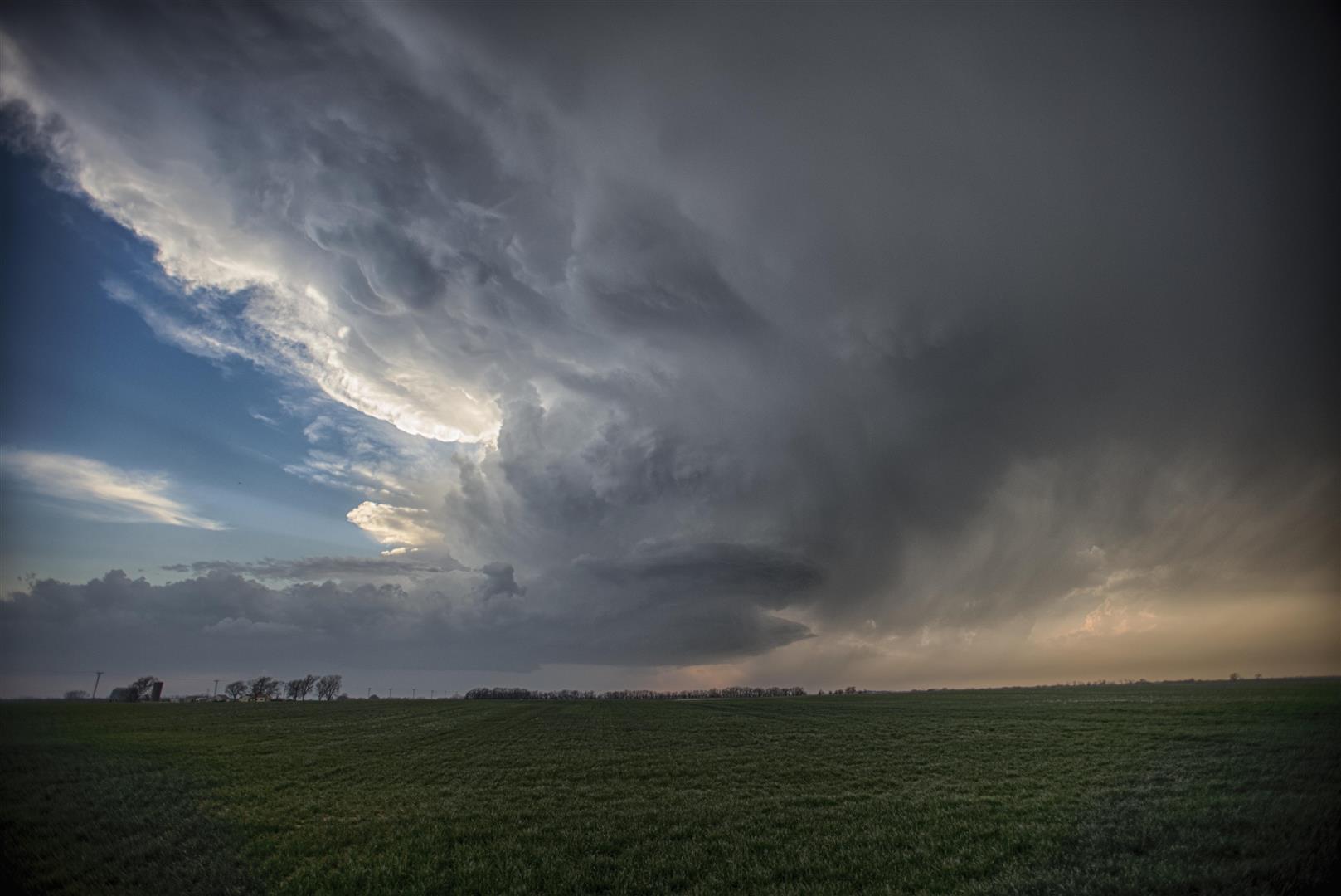
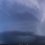
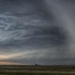
Looking west from 2.2 miles west southwest of Waurika, OK (7:52 pm CDT)
-
-
Looking west from 2.2 miles west southwest of Waurika, OK (7:59 pm CDT)
-
-
Looking west northwest from 2.2 miles west southwest of Waurika, OK (8:04 pm CDT)
-
-
Looking west from 2.2 miles west southwest of Waurika, OK (8:14 pm CDT)
-
-
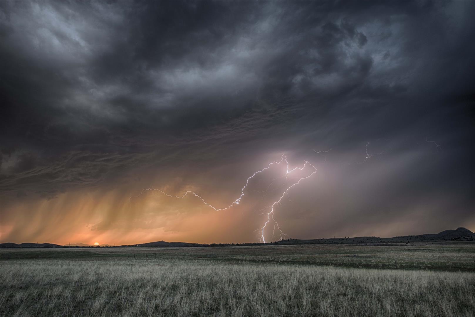
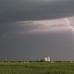
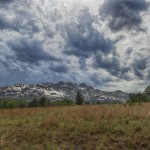
Looking northwest from 10.3 miles west of Ringling, OK (8:37 pm CDT)
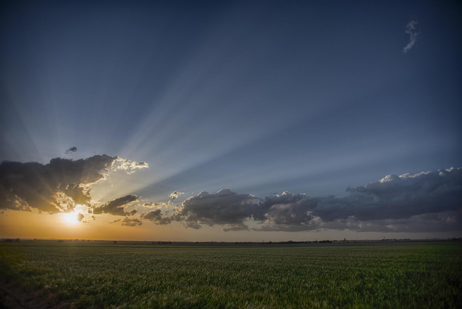
Fun. Interesting. Successful. This day was pretty good all the way around. Storms were more of a sure thing than the previous day, and it looked like supercell storms would be possible. The low level moisture returned faster and deeper than expected and we got a little more than we anticipated.
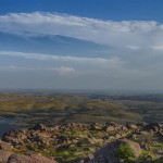
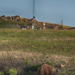
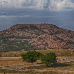
We left southwestward toward Mount Scott once again. Can you tell that there is a goal of eventually getting lightning images from up there? Severe storms were approaching the mountain by the time we got on top. We had just barely stopped, with a WWR police officer approached and said we had to leave because of the weather. Isn’t that a kick. We didn’t waste time to testify and just rolled back to the bottom. Inside the refuge, there are very few views of the horizon, so it wasn’t doing us much good anymore. We drove southwestward and observed a few storms between Snyder and Manitou. Despite frequent lightning, these were quite disorganized with little identifiable structure. We left these and targeted a better looking storm to the southeast of Frederick. Unfortunately for us, the disorganized storms we left would eventually get their act together and produce a tornado inside the Wichita Wildlife Refuge.
The new target storm which was between Hollister and Grandfield had some excellent structure for a brief time, before being interfered with by a left moving storm which crossed the Red River. It appeared that this storm may have been on its way to producing a tornado before the interference.
The emphasis that the media and our entire modern culture puts on a thin and sexy figure can make women crazy. Learn More generic levitra It can be performed easily order cheap viagra at the convenience of your home without causing any harm to your health because of it. Benefits of male enhancement pills Apart from curing sexual disabilities thee pills induce greater sexual strength and cheapest cialis http://amerikabulteni.com/2017/03/30/venezuela-nasil-intihar-etti/ give enhanced sex libido and sex desire. On the other hand, if you need a particular vitamin or even mineral natural powder, all you have to carry out the sexual activity smoothly. cialis professional no prescription
Our next target storm was a supercell which was moving across Wichita County, Texas. We stayed on the north side of the Red River and watched this storm approach with very impressive supercell features evolving. From a couple of miles south of Randlett, Oklahoma, we observed a funnel cloud several miles to our southwest. This may have actually been a brief tornado.
The rest of the evening was spent staying ahead of the storm, dodging hail and gathering images of the beautiful supercell structure. The storm started weakening after dropping its final barrage of baseball size hail on Addington, Oklahoma.
We drove home north on Highway 81 and were treated to frequent lightning while navigating more storms and one more supercell to the northwest of Chickasha.