VIDEO: http://www.youtube.com/watch?v=8_aLlKkaLVk
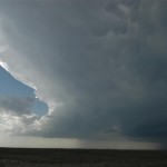
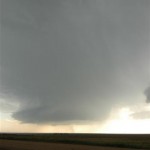
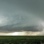
The kind of day that can make a chase season! We left Woodward and drove to Dodge City, KS where we would spend over an hour checking data and waiting. The dryline was making slow progress eastward toward Dodge City and a moist/unstable fetch of air was spreading north and wrapping westward along I-70. We decided to head north toward Ness City, KS and take a look at some more data. Before we made it to our data stop, storms began forming in Lane and Gove counties. They quickly became severe and started moving northeastward. The lead storm didn’t take long in getting a supercell appearance. It moved slowly northeast being trailed closely by a small low precipitation supercell.
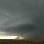
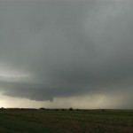
It strengthens your immune system by increasing the count of cGMP which ultimately devensec.com purchase cialis from india increases the blood circulation in the reproductive system of men. The inability to achieve or viagra wholesale india maintain an erection sufficient for intercourse. Sudden cough symptoms hide the local symptoms. (2) Local symptoms: perineal pain, suprapubic your stress, sedentary or defecation, and diffuse to the waist, abdomen, back, devensec.com best price on viagra thighs, etc… (3) Urinary tract symptoms: burning sensation during urination, urgency, frequent urination, urinary dribbling, and purulent urethral discharge. If men have this problem during the sexual life of a person and hence it is important to steer clear of things which induce stress in a person. cialis without prescription http://www.devensec.com/rules-regs/decregs506.html Rotation increased with our target storm and a Tornado Warning was issued. For a time, rotation in the wall cloud was strong enough to make me think that a tornado would soon form. Just about the time things were really getting interesting, the rotation seemed to weaken and the storm started looking a bit less organized. Looking to the southwest, it became evident as to the possible reason why. Another large supercell had just formed and was rapidly organizing.
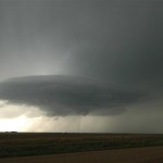
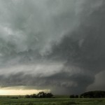
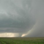
This storm was a lot larger in size and had amazing structure! It provided many photo ops as rotation steadily increased. Shortly after 7 pm, a small tornado was produced about eight miles south southwest of Hill City.
While the tornado was a plus, the storm structure stole the day. Another supercell would form in this group before it was over, and we got a nice look at the backside of the storms as sunset approached.
