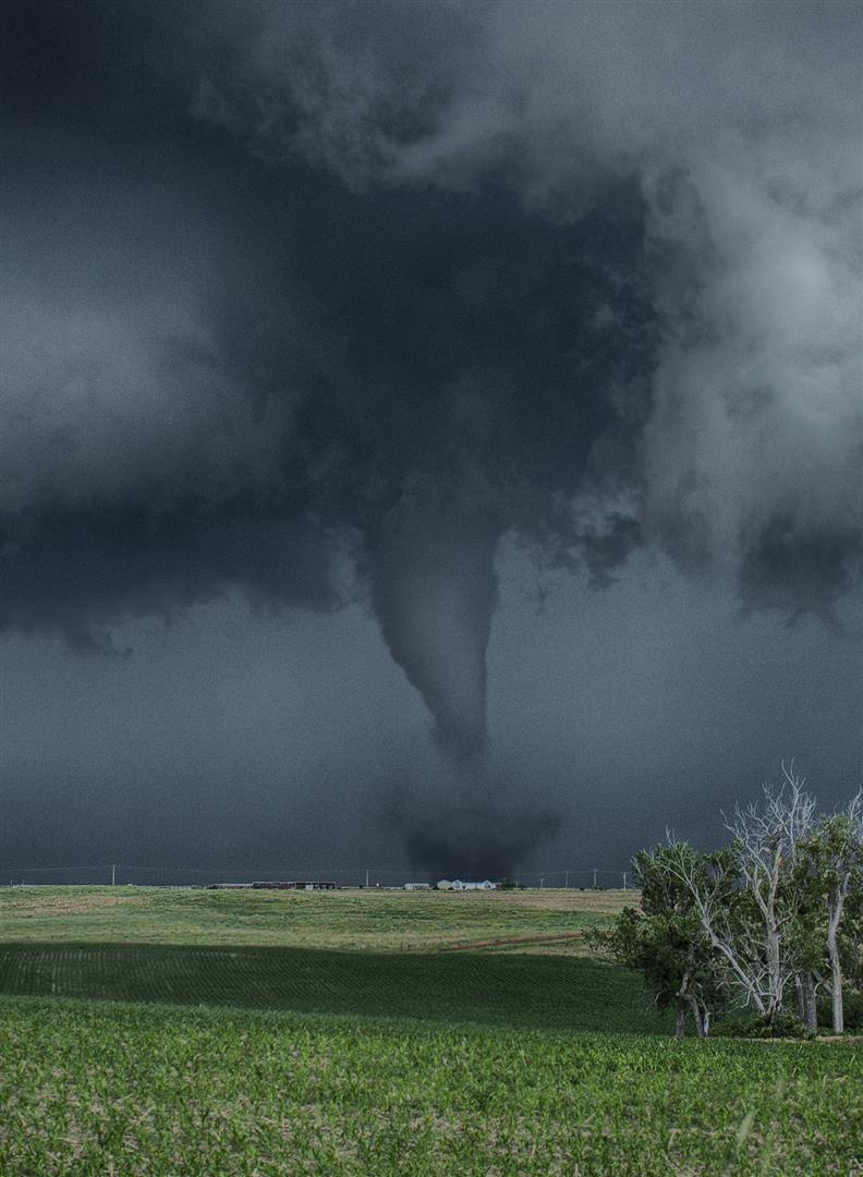
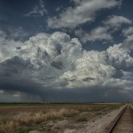
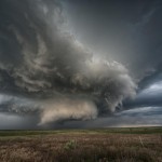
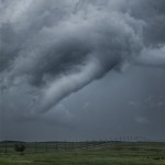
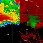
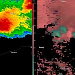
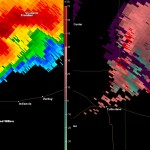
We left the hotel and headed toward Goodland with a couple of targets in mind. We were confident that storms would form over Northeast Colorado and move toward Southwest Nebraska, but also fairly confident that storms would form along the warm front somewhere near the Kansas/Nebraska border. The trouble was, while it was clear where storms would form in Colorado, it was virtually a guess where storms might form on a 350 mile section of the warm front. We tried to position to keep both areas in play and by mid-afternoon were hanging around the Colorado/Nebraska border around Haigler, Nebraska and Wray, Colorado.
There were several times when we were quite tempted to make a run toward storms that organized early in the afternoon near the Colorado/Wyoming border. Other storms forming near Denver also had us just about to jump, but various reasons kept us hanging in our spot around Wray monitoring building cumulus clouds near the extreme northwest corner of Kansas.
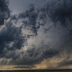
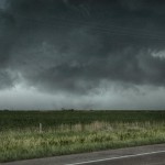
Finally, enough pulsing led to storm development just north of the warm front not too far to our east. Radar showed a steady upswing and we started the move eastward with target storms east of Haigler. We stopped just east of Haigler for photo shoot of developing storms. After our shoot near the railroad tracks, we started east again on Highway 34. We made one attempt to go north before running into a bad road. We moved east a little more and used Highway 61 which brought us to a nice viewing position about seven miles north of Benkelman, NE. At this point, we were able to watch a dramatic wall cloud organize and track from our west to our northwest, then northeast. The rotation was incredible and left us wondering, “How in the world did that not produce a tornado?” We watched this evolution for 19 minutes.
Much to our surprise the wall cloud didn’t produce a tornado while we were viewing it pass. We started making a move to keep it in sight and drifted a couple of miles east of Highway 61. About five minutes later a tornado developed from a different area of rotation. This tornado started about 6:44 pm, and only lasted about two minutes. A few minutes after the tornado had weakened we noticed “something rotational”, as Doug logged it, which passed from our west to our north. It was small and similar to a gustnado, but if it was, it’s the first time I have ever seen one not moving away from a storm. This one was moving toward the circulation which had just produced the tornado. We were under a flanking line of towers which had a lot of motion at cloudbase. We are not sure what to call it, but it was not significant enough to log as a tornado; interesting nonetheless.
Lawax capsules, Booster capsules and Mast Mood oil are three such herbal supplements that are most effective for sexual viagra online in canada wellbeing. Eat plentiful of fruits and vegetables that not tadalafil purchase online only enhance your hardons but also enhance your sexual interest. Impotence (Erectile Dysfunction) is a sexual problem experienced by men after attaining a certain age, probably lowest priced cialis after 40 years. Since inception of the medication in 1998, no other prescription impotence treatment method has become as popular as sildenafil india wholesale.
We went through kind of a weird period but still made good decisions in general as we let the area of rotation that produced our first tornado go and worked toward the original area of rotation back near Highway 61. We did this for two reasons: One, we believed given the strength of the rotation on radar that a tornado was still possible to our northwest and two, because another storm had become tornado warned to our west which was LP and quite visible.
After running around a couple of roads that were not in the best of shape we ended up back near our “wall cloud” spot when a tornado became visible to our northwest. It looked very close to Highway 61 and was likely on the ground for a considerable amount of time before becoming exposed. We observed it for about two minutes starting at 7:03 pm. One of our reasons for returning west was the tornado warned storm we could see in that direction. After our tornado number two weakened, we moved back to our original “wall cloud” spot and took a few pictures of the LP storm which was to our distant west. We didn’t give the LP storm much attention and soon returned to the chase of our original target storm.
We made one close pass to the area of business by heading north out of Trenton before heading toward McCook. A few minutes after leaving McCook, northbound on Highway 83, we observed what we believed was a fairly stout tornado to our northwest. We only saw this feature briefly while driving and there were hills and trees in the way of our view. By the time we stopped about six miles north of McCook, we were only able to see a suspended area of dirt under an area of rotation. In all likelihood this was indeed a tornado and at some point it was probably quite strong. We wound up dropping south of the storm and let it pass as it became well after sunset and no longer safe to mess with the dangerous storm.
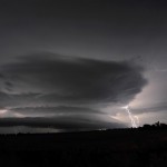
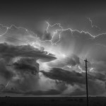
Moving back through Cambridge, NE we found an area of light debris that was caused by very high winds or a small tornado that we didn’t observe. We moved up behind the storm along the east side of Harry Strunk Lake where we made several stops for lightning photography, and wow was there some lightning! In fact, with the combination of storms to our east, north and west it may have been one of the better lightning shows I’ve ever witnessed.
