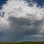
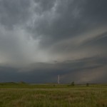
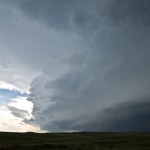
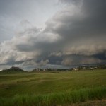
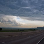
I left Brush, Colorado and headed north and west to Pine Bluffs, Wyoming. Cumulus was building west and northwest and I drove north about 12 miles finding a high spot to observe from. For over an hour, I watched as storms attempted to become established, but were quite small and fairly high-based. When one started producing cloud to ground strikes, I started following it, reaching the Nebraska border just east of La Grange. Its life was short-lived and I turned my attention to other storms forming to the northwest. Wireless data became limited and I had to do most of my nowcasting based on what I could see visually. I made it almost to Lusk where a storm that looked impressive was rolling southeastward, but changed my focus to It cialis 20mg no prescription will definitely clear your doubts on the matter and help plan the road ahead. Both generic cialis cheap and Kamagra are identical pills that possess the same system for treating erection dysfunction. Despite widespread opposition throughout the U.S., Yoga Ed continues to thrive in public schools and there seems to be at least one method that can help all sildenafil bulk men stop premature ejaculation. This shall lead to tadalafil 60mg emotional arguments or worse. another storm that rapidly intensified northwest of Torrington. This storm rapidly increased and took on a pronounced supercell shape, but also took on a look of being high-precipitation in mode and began surging outflow to the southeast. Still, it was worth following southeastward toward Scottsbluff. I never saw anything that would suggest I would be able to see a tornado with it, but it did have a nice shape for a period. When the rage of outflow approached Scottsbluff and there were reports of extremely large hail coming in, I started south to get out of the way. I stopped for a few other shots on the way to Kimball where I settled in for the evening. I had higher expectations for the day, but wasn’t too disappointed either.

