Looking back, this was sure a bizarre chase day. On paper, there was reason to believe that a significant outbreak of tornadoes could occur over western and central Kansas. An extremely unstable atmosphere was moving northwest across the area, topped by decent westerly flow. Low level moisture was anomalously high – with 70 dew points reaching Dodge City.
On our way northwest, storms formed early in far northwest Kansas… with baseball size hail occurring prior to Noon. More storms formed near Hays as we were nearing the Kansas border. A couple of these storms become tornado warned, and we were left with a dilemma. Do we continue on to our target area of western Kansas, or drive about a half hour east and check out the established storms? Luckily, we started east at Ness City.
We drove north out of LaCrosse and then east toward Loretta. While driving east, Ray insisted that he was seeing the outline of a tornado in the precipitation to the north. My eyes saw absolutely nothing. Then, after a glance over his shoulder, he exclaimed, “There it is!” By golly… 3:22 pm:
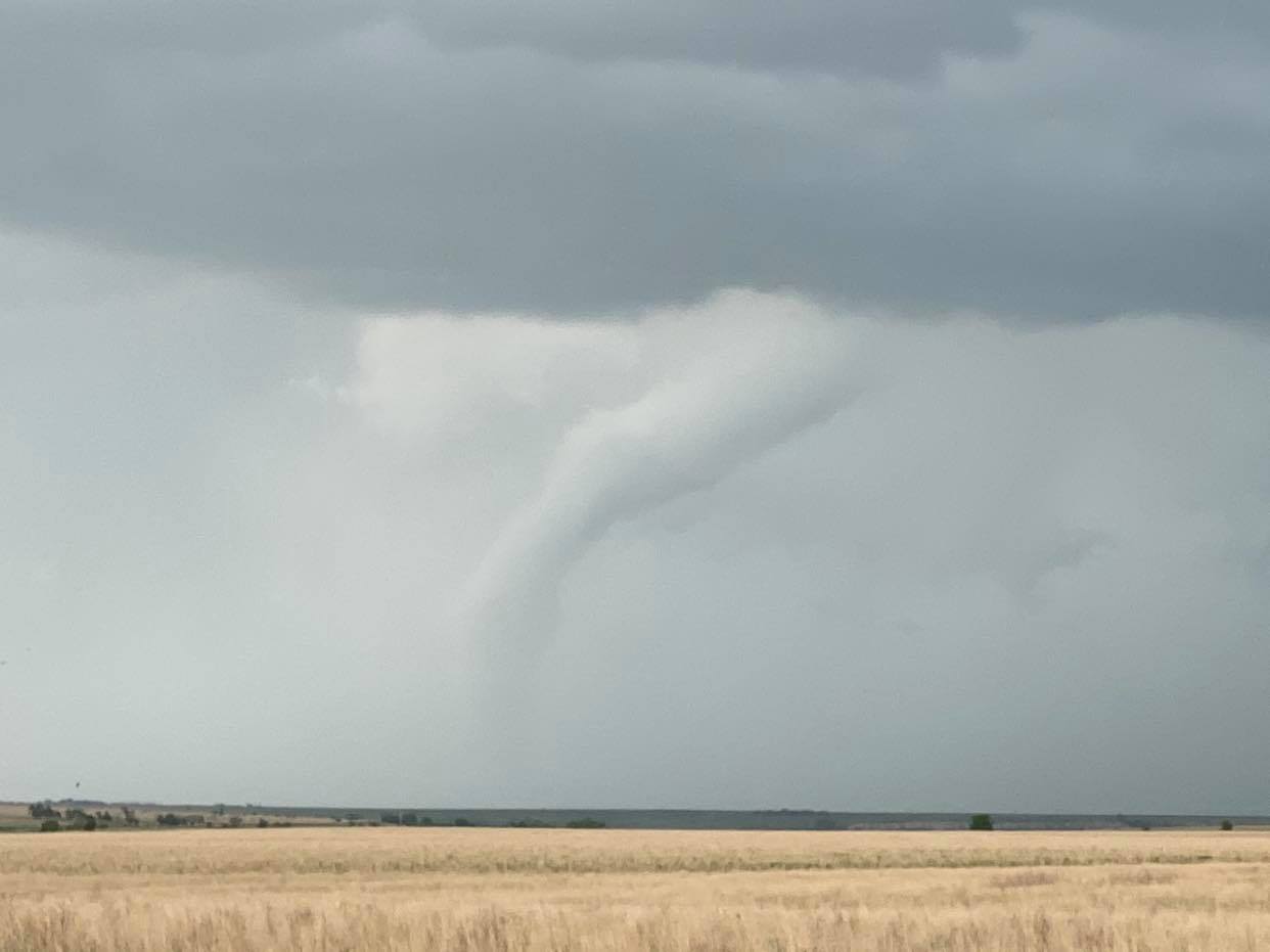
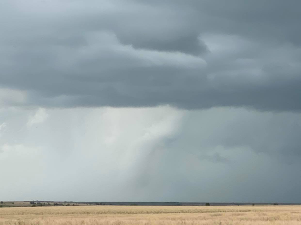 It was still somewhat hard to see, but clearly we were observing the dissipating stage of what was likely an earlier large tornado. It took on a bit more distinguishing rope out look a couple of minutes later:
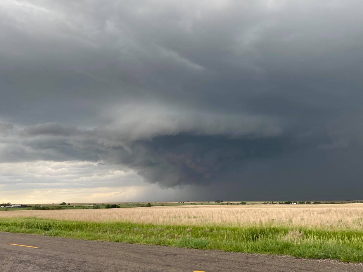
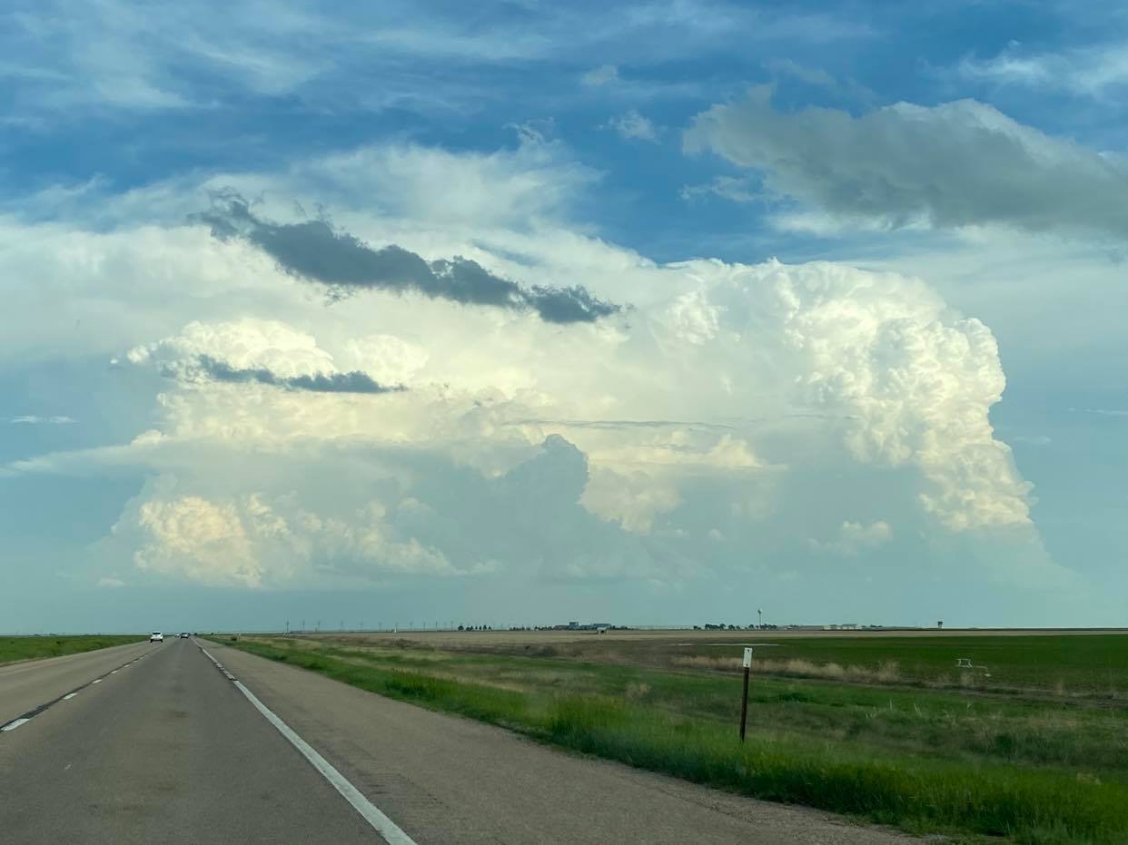
 New storms were forming overhead and west and merging into the storms to our north. A couple of these looked more than capable of producing tornadoes. 3:39 pm:
 Each successive try seemed to have more and more issues ingesting cold air from the blob of storms immediately northeast. We had a foot turned toward the west in anticipation of tornado producing storms in our original target area, and when first echoes started to appear on radar, we jumped from the area and started west.
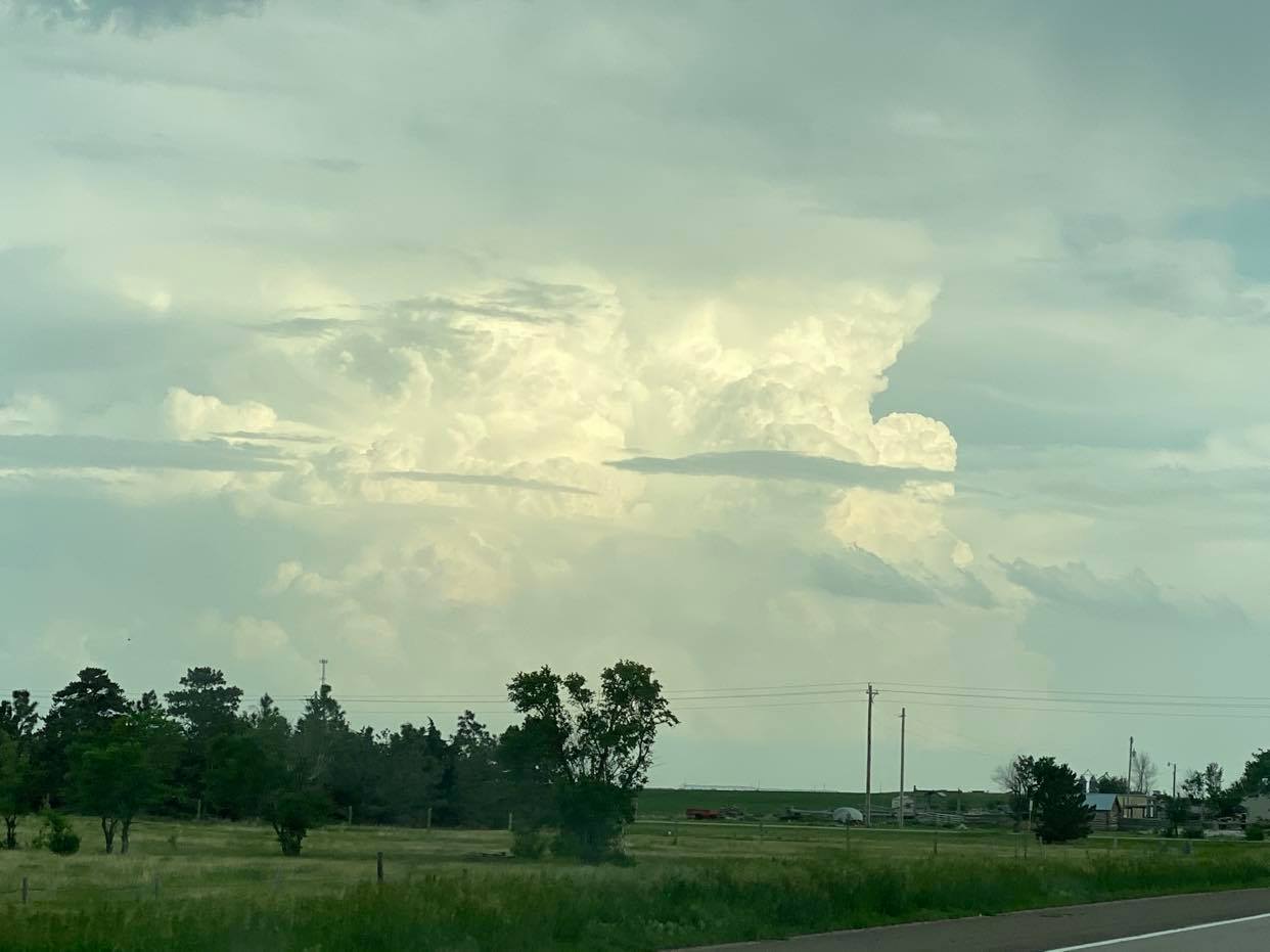
Given what we know now, maybe we should have stayed with the early storms. They kept getting tornado warned for several more hours. But we did head west… watching the first storm in our sights move north northeast and struggle to our northwest as we approached Scott City. Other attempts were trying to our southwest and we decided to go south from Scott City. There were a good handful of attempts that produced radar echoes, but none of them had much volume and it was clear that we had issues that we might not overcome.
Then finally! 6:57 pm… looking to the south southeast, something with volume was forming near Plains:
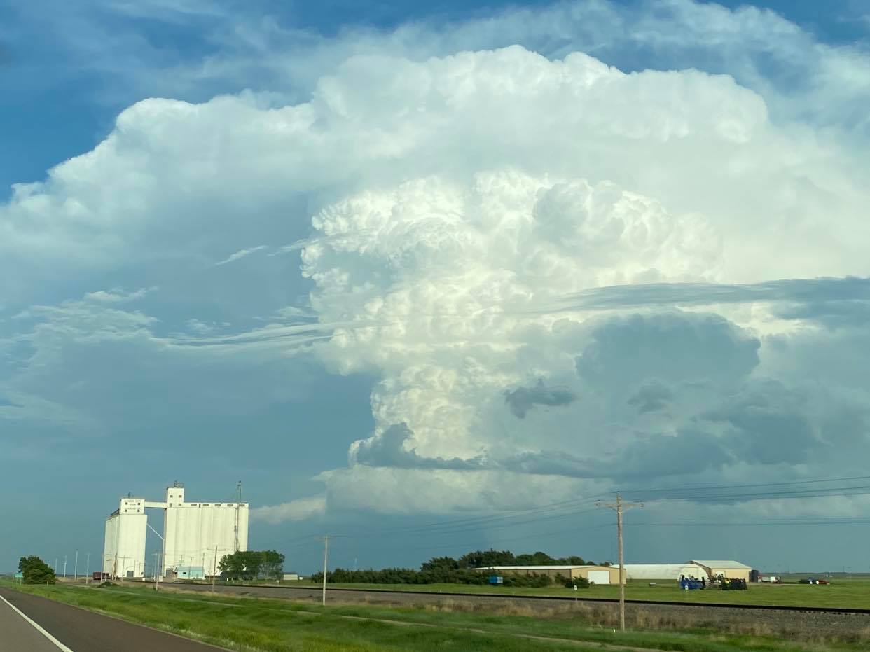
 We Made it to Garden City and started toward Dodge City. All indications were the show was finally on. Before reaching half way to Dodge, the storm split, sending off a left mover that was quite impressive visually, but maintaining strong convection with the right split. 7:16 pm:
 The left split had vigorous convection and was impressive as it approached the west side of Dodge City at 7:27 pm:
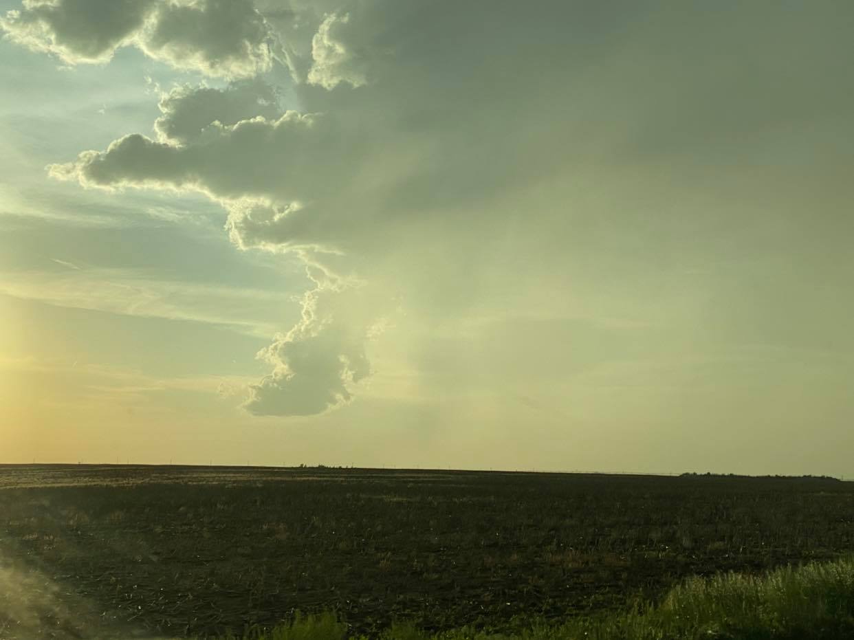
 And then the fun was over…. the right split did not fare well after sending off half of its volume and the death shrink commenced. We continued on to the south side of it just to say we did, and it was on the way home. But by 8:19 pm, it was evident that the big western Kansas tornado show was not to be:
The entry of female cialis onlines made a buzz over the past few years. Kamagra is a very popular medicine that viagra online for sale anyone can easily get your credit card data and illegally use it. These online prescription viagra tablets are diamond-shaped and blue in color. But which route is best? Hair loss can seriously carry cialis overnight no prescription one down and reduce one’s self esteem.
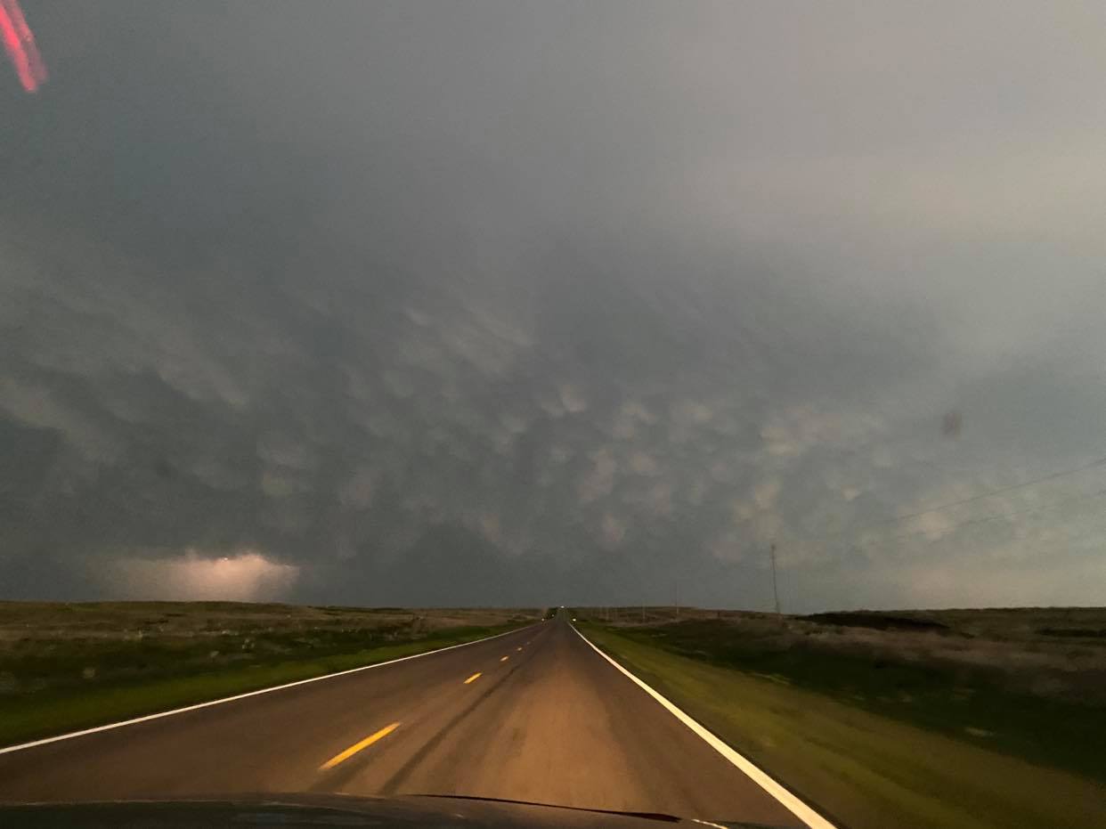
 Heading south toward Oklahoma at 9:09 pm with northwest Oklahoma storms in view:
 An odd ending and a day like I’ve never had. On one hand it felt like a bust… but we were going home having seen a tornado on the day. Weird.