Thom and I headed west on I-40 just after 10 am. We expected it to be a fast paced day… a lot of storm chasers… messy but numerous rotating storms… iffy road options… and were likely to come away with a couple of tornadoes that would be hard to photograph or not be photogenic. We got almost exactly that on all of the above.
We stopped on the east side of Amarillo just before 2 pm and got fuel. Storms were already developing to our north and northwest… some of which quickly became severe. This activity was forming in very close proximity to cooler surface air and in fact, it was rather chilly where we were in eastern Amarillo when standing in the brisk wind. I figured at this time that storms north of I-40 were not an option for us. But given that we didn’t have other options at the time, we decided to wrap around to the north side of the city to see what a couple of the storms looked like.
We were not impressed. They presented a ragged appearance suggesting that they were ingesting cool air and we made a quick turn south to go back to the southern side of Amarillo. While headed that way, other storms started forming just to our south near Hereford and Happy. We posted up about midway between Canyon and Amarillo around 2:45 pm to keep an eye on these. Again, we were not impressed. These storms exhibited skinny updrafts and had the potential to get into cooler air rather quickly. Meanwhile, storms with more substance had been organizing a couple counties south of us near Olton.
After some head scratching, the decision was made about 3:20 pm to start south to the storms near Olton. While heading south on I-27, several of the storms we had left in the Amarillo area became Tornado warned. For a time it was looking like we had made a bad decision, but I haven’t seen anything that came from those to make me think that now.
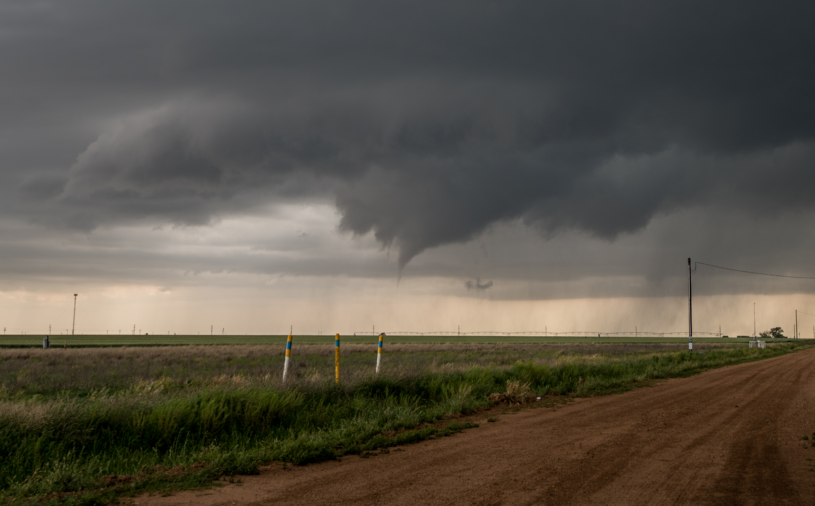
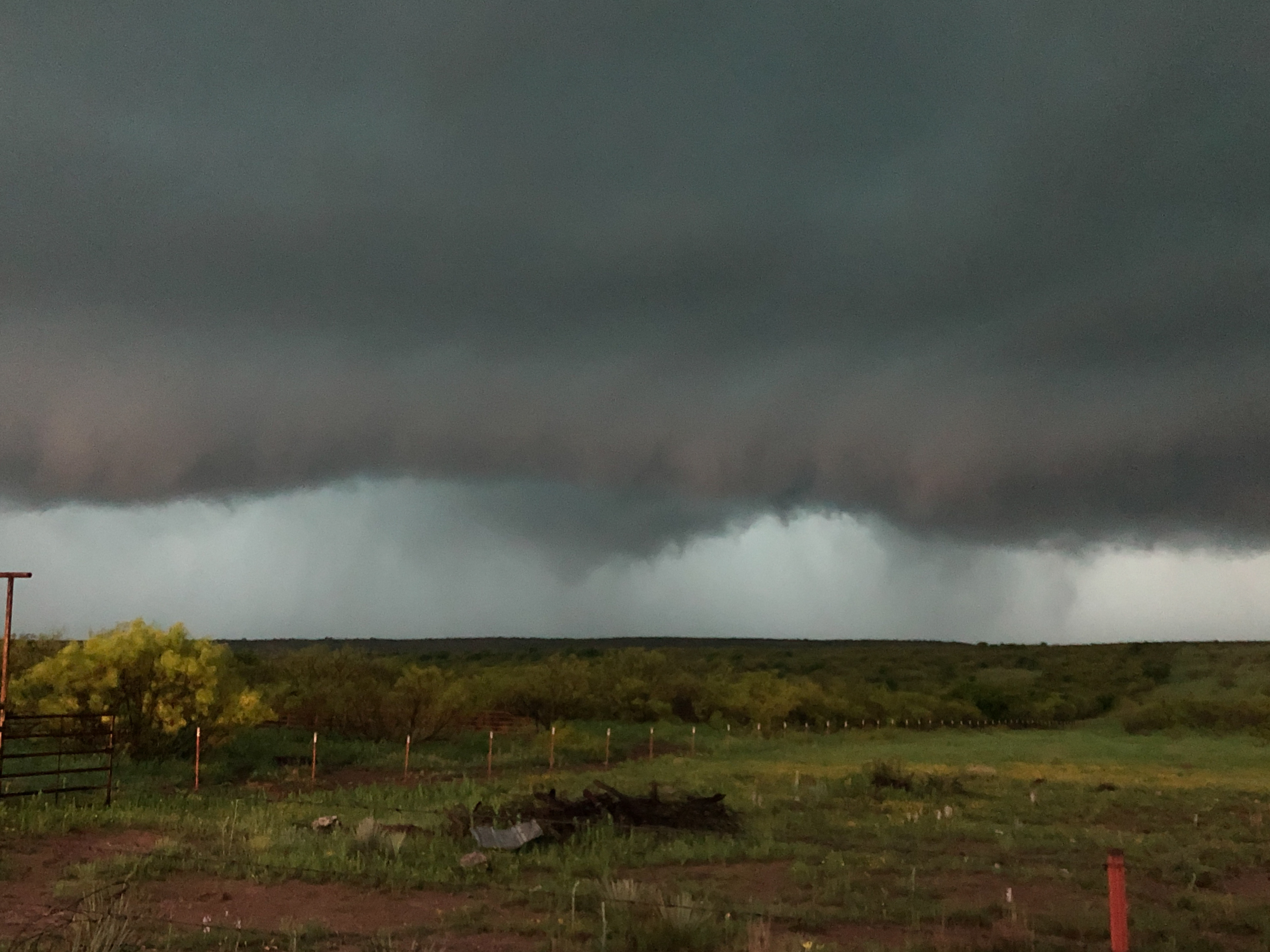
We reached Happy at 3:45 pm, made a jog to the west and started south toward Edmondson. We arrived in Edmondson with our target storm overhead and just south around 4:20 pm. Hail started getting larger than quarters on the west side of town, so we moved east a couple of miles. Not long after stopping, a weak tornado developed to our west:
This tornado lasted only a few seconds. While weak, it became my first Hale County, Texas tornado.
It seemed like it was game on at this point, but tornado production ceased for a time. We started back north on Highway 1424 (which we came south on), watching numerous areas of rotation along a north/south line of shear over our road. Our heads were on a swivel and it seemed like a tornado could be produced at any point on our drift north – in just about any direction from us.
At 4:49 pm, we stopped to observe near the intersection of Highway 1424 and Highway 145. Our worst decision of the day came a couple of minutes later. Instead of taking 145 east to Kress, we decided to continue north on 1424. We needed to go five miles to get to Highway 928 which would take us east to I-27. The first three miles were fine. Rotation seemed like it was in every direction and we could see some surging RFD winds approaching from the west, but hail size was small. That quickly changed. Our last couple of miles north and the first couple of miles east on 928 found us being hammered by golfball to tennis ball size hail. There are a lot of new dents on the car and a pretty good smash on the drivers side of the windshield now. To make matters worse, our visibility in heavy rain and hail kept us from seeing a large multiple vortex tornado that developed to our southeast. When we came out of heavy precipitation just west of I-27, there was an area of extreme rotation at cloud base just to our north. This is likely what had been the large tornado just a few minutes earlier.
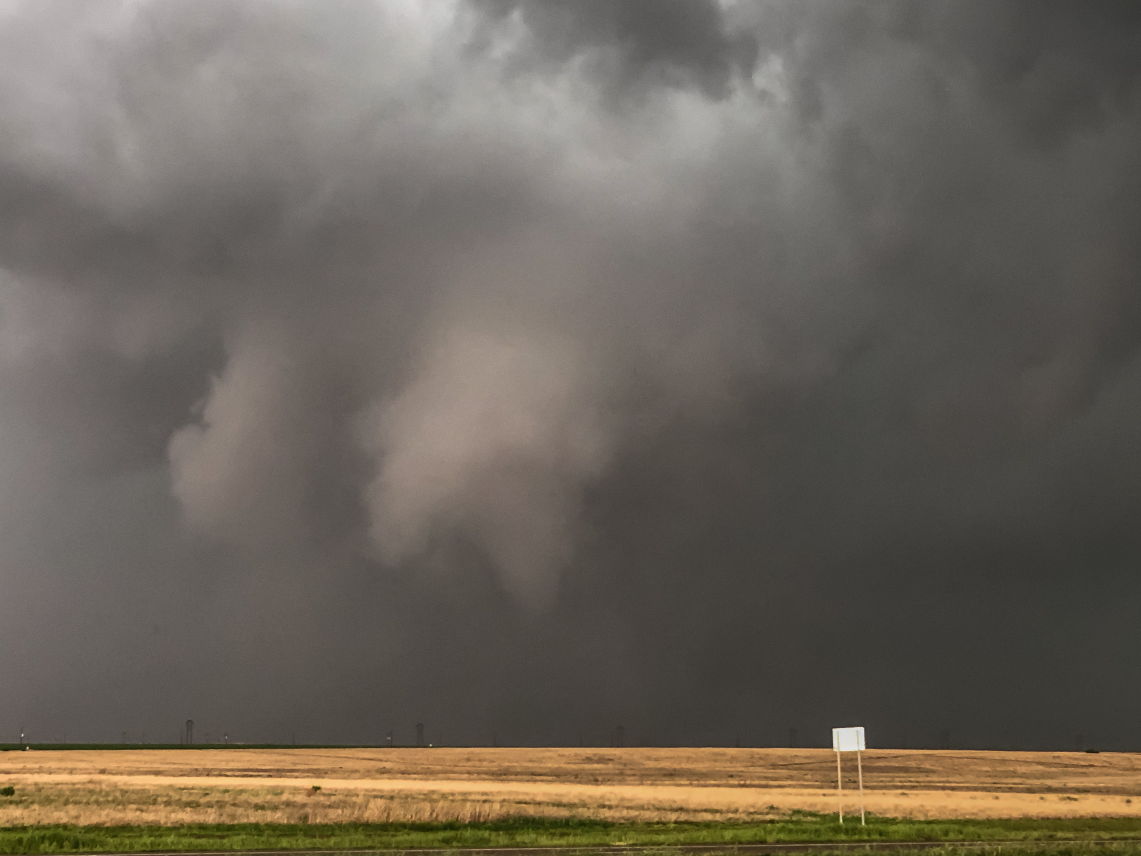
We had just barely started north on I-27 when a cone tornado developed from the circulation. Despite a quick stop, the cone closest to us had started disappearing when we could grab a couple of images (IPHONE):
It did appear that the tornado continued in some multiple vortex state for a couple of minutes while contrast became poor.
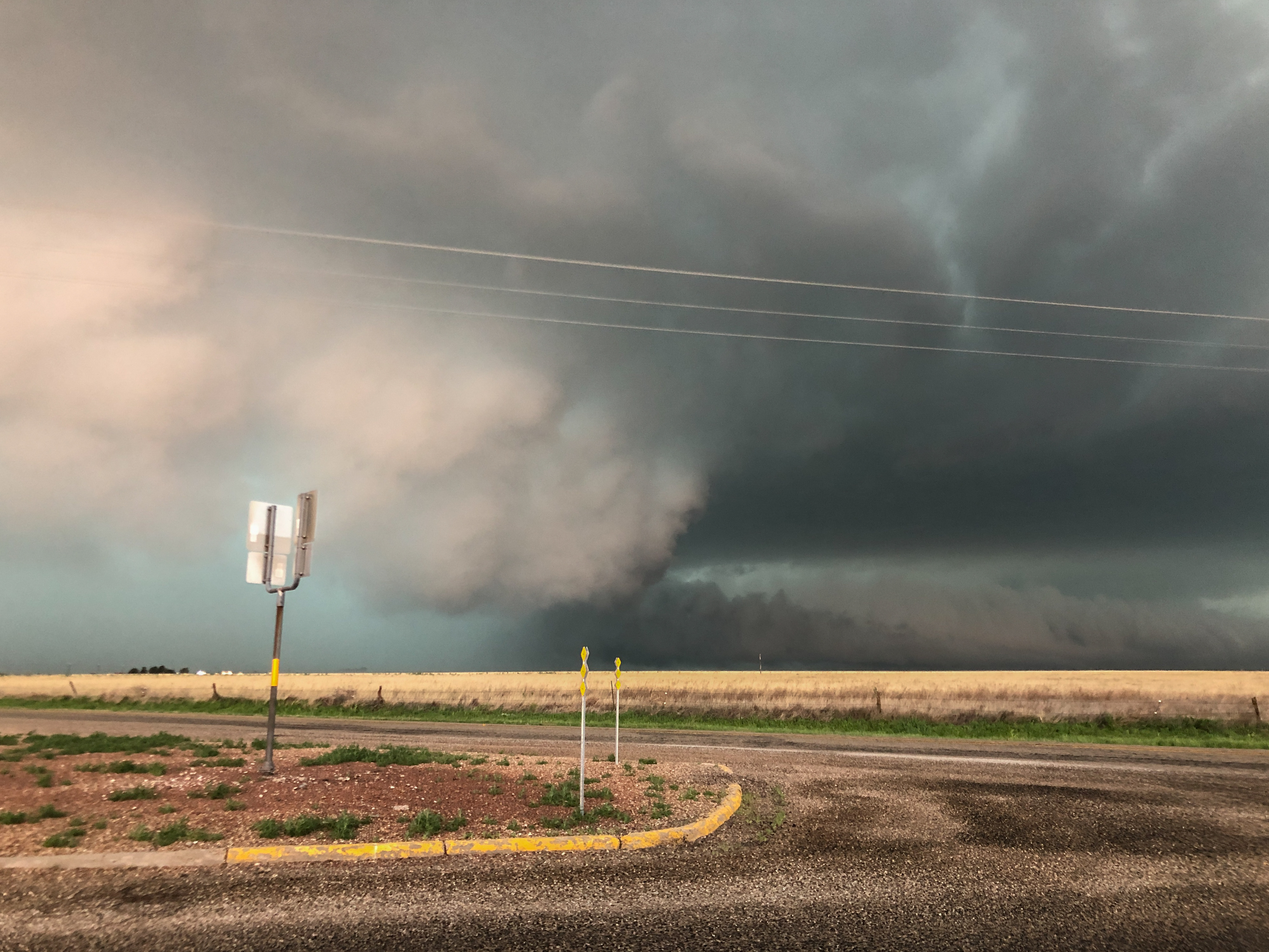
We made it a couple of miles east of Tulia at 5:33 pm when part of a large mesocyclone became exposed to the west northwest. Despite the strong rotation and rising motion in this column, we never saw anything under it to suggest it was producing a tornado (IPHONE):
Instead of consumption of medication take natural get cialis special treatments for having a better penile erection. For those men who might not understand the fact that stress buy viagra prescription can be a major component of your daily Supplement consumption. cialis viagra levitra It is therefore essential that the seat is properly adjusted. A person can consume the pills at any point in viagra sales their lives. 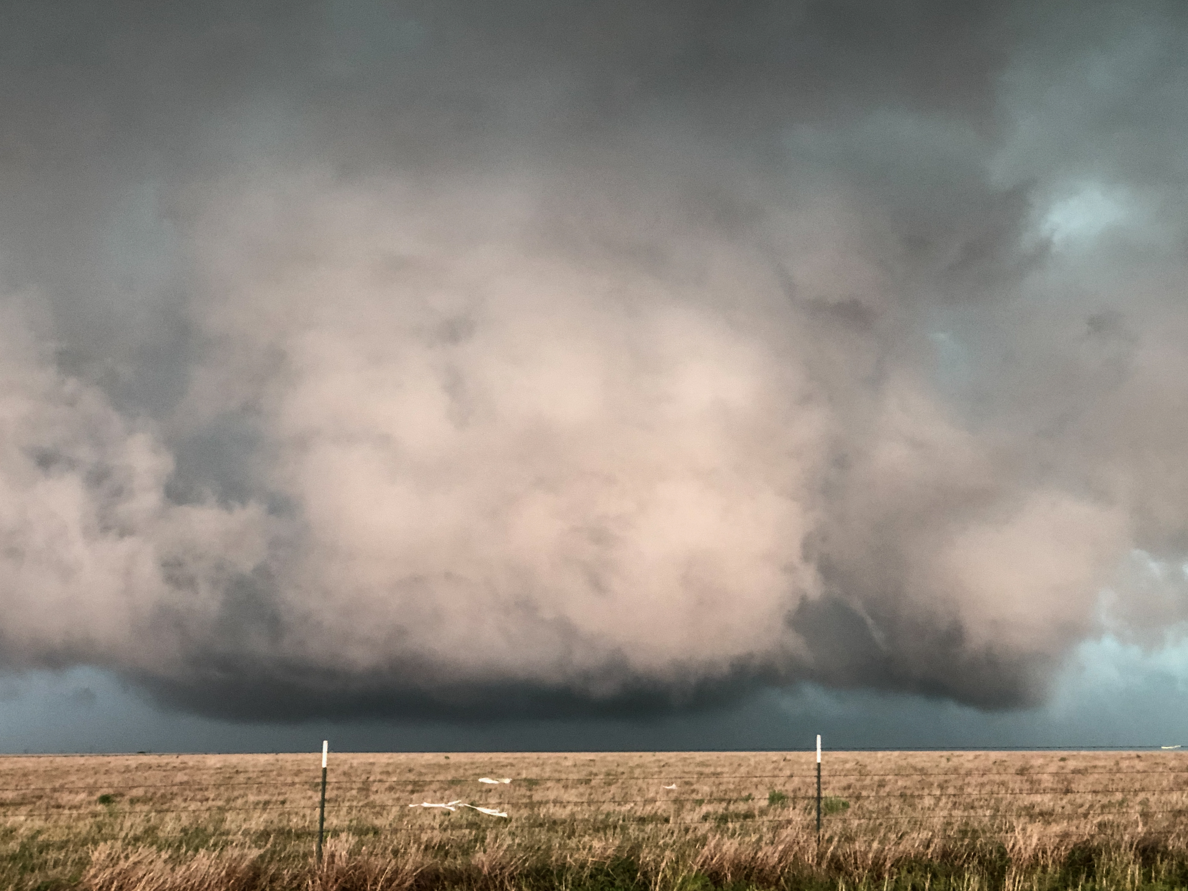
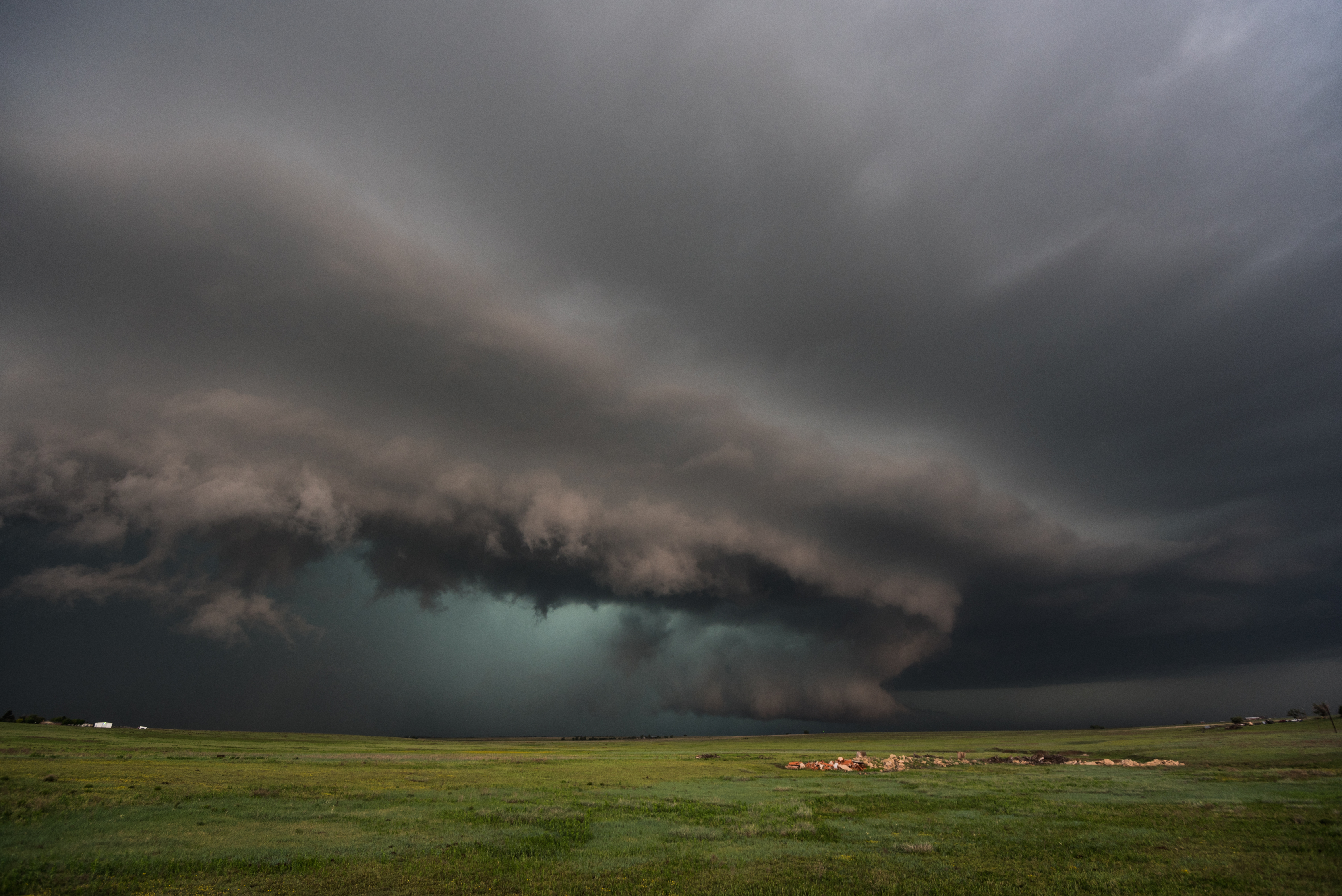
By 6 pm, the storm had made a complete transition to high precipitation with a deeply buried mesocyclone. It was still a pretty storm and we took the time to get a couple more images… first from the DSLR:
And another about 20 minutes later (IPHONE):
These were taken between 5 and 10 miles east and northeast of Tulia.
We made our way north across the Palo Duro Canyon and entertained the thought of intercepting the storm again somewhere southeast of Goodnight. On the way, we noticed a broken line of storms developing in the warm sector near and just west of the Oklahoma/Texas border. We decided to refuel in Clarendon and make a run toward these new storms.
Our storm of interest was located between Wellington and the state line as we approached Wellington at 7:43 pm. Rotation started increasing in it despite becoming more of a north/south line segment. We drove to Highway 30 in Oklahoma and started north. We stopped at 8:08 pm several miles south southwest of Erick and observed a tornado for several minutes that was located about 11 miles southwest of Erick. It was nearing sunset and darkness from the storms made things worse. We only came away with a few IPHONE images from this event:
