Not the greatest setup with somewhat limited moisture, but shear was nice and there were constant signals in convective allowing models that late afternoon storms would form just southeast of Okarche. Satellite imagery supported the idea and I started southeast on Highway 3 from town.
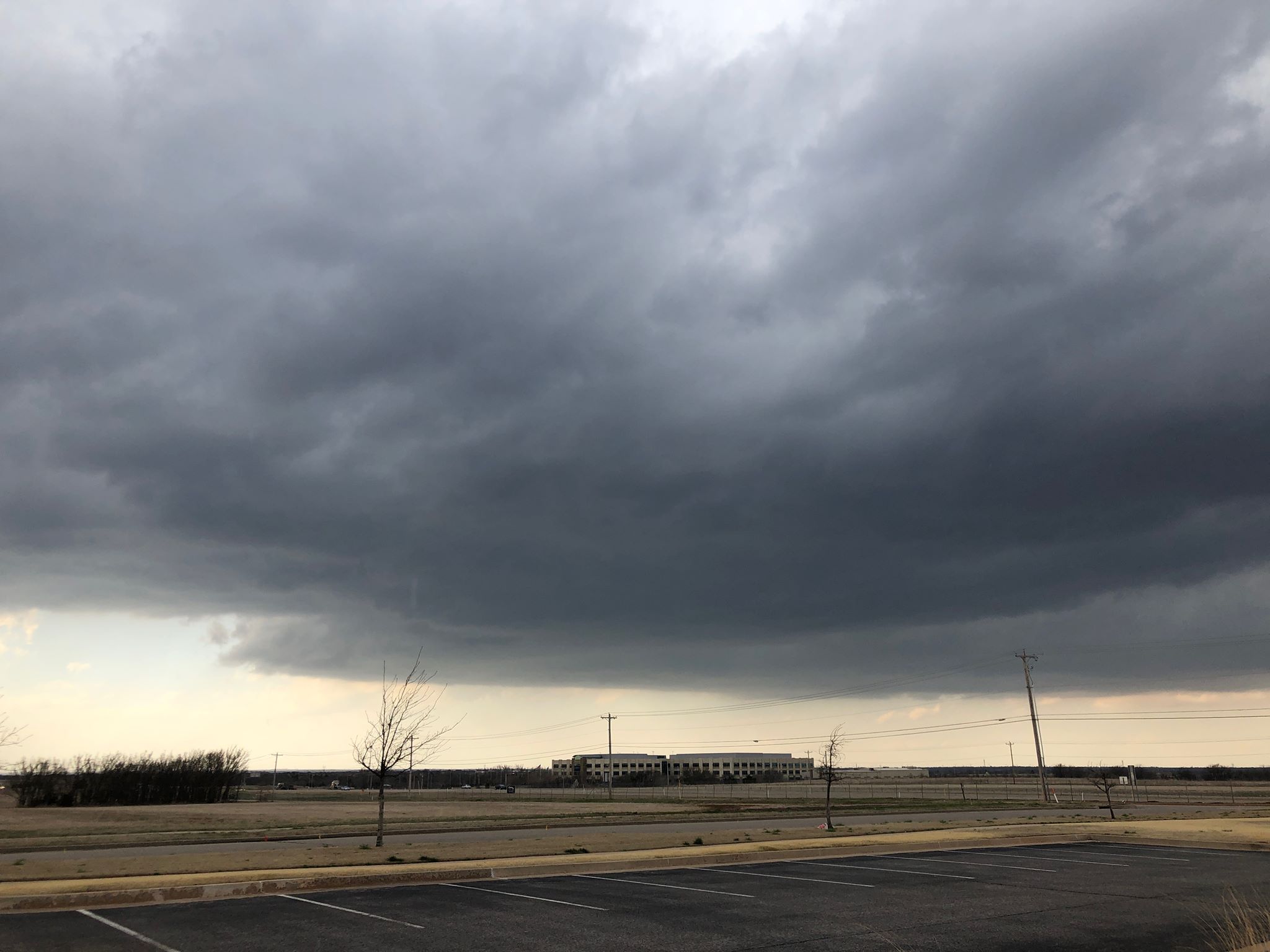
Large towering cumulus were observed at departure and within a few minutes, the first radar echoes started showing up. Development was steady and the storms became severe just southeast of Piedmont.
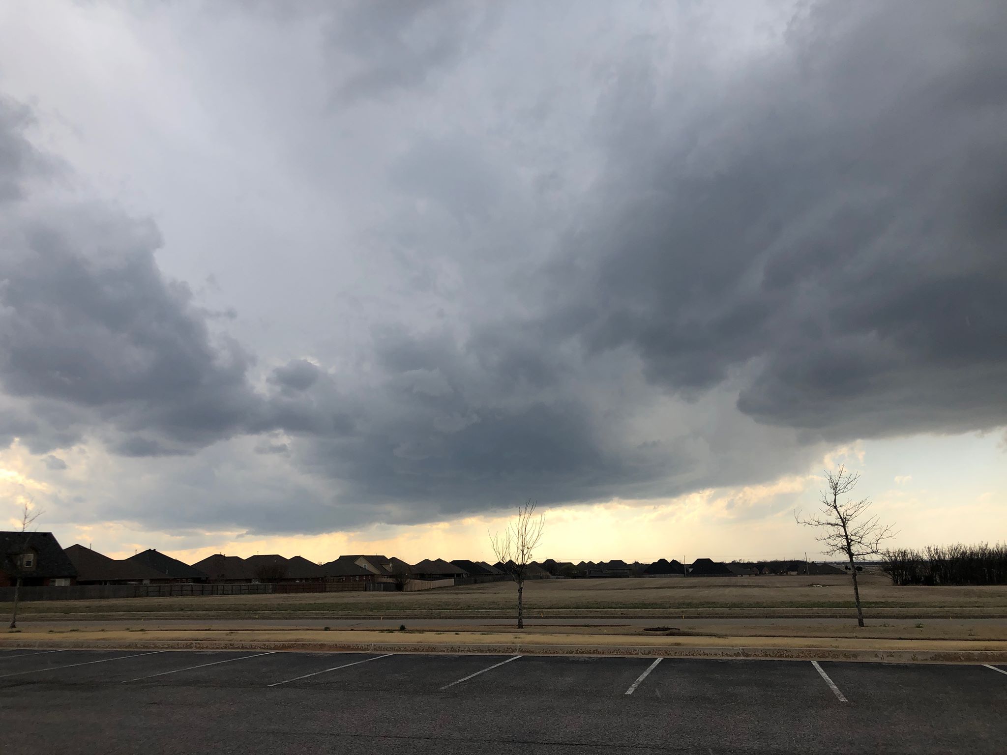
My first stop was at Rockwell and the Kilpatrick Turnpike in north OKC, with a few of developing storms from southwest to north about 4:45 pm CDT:
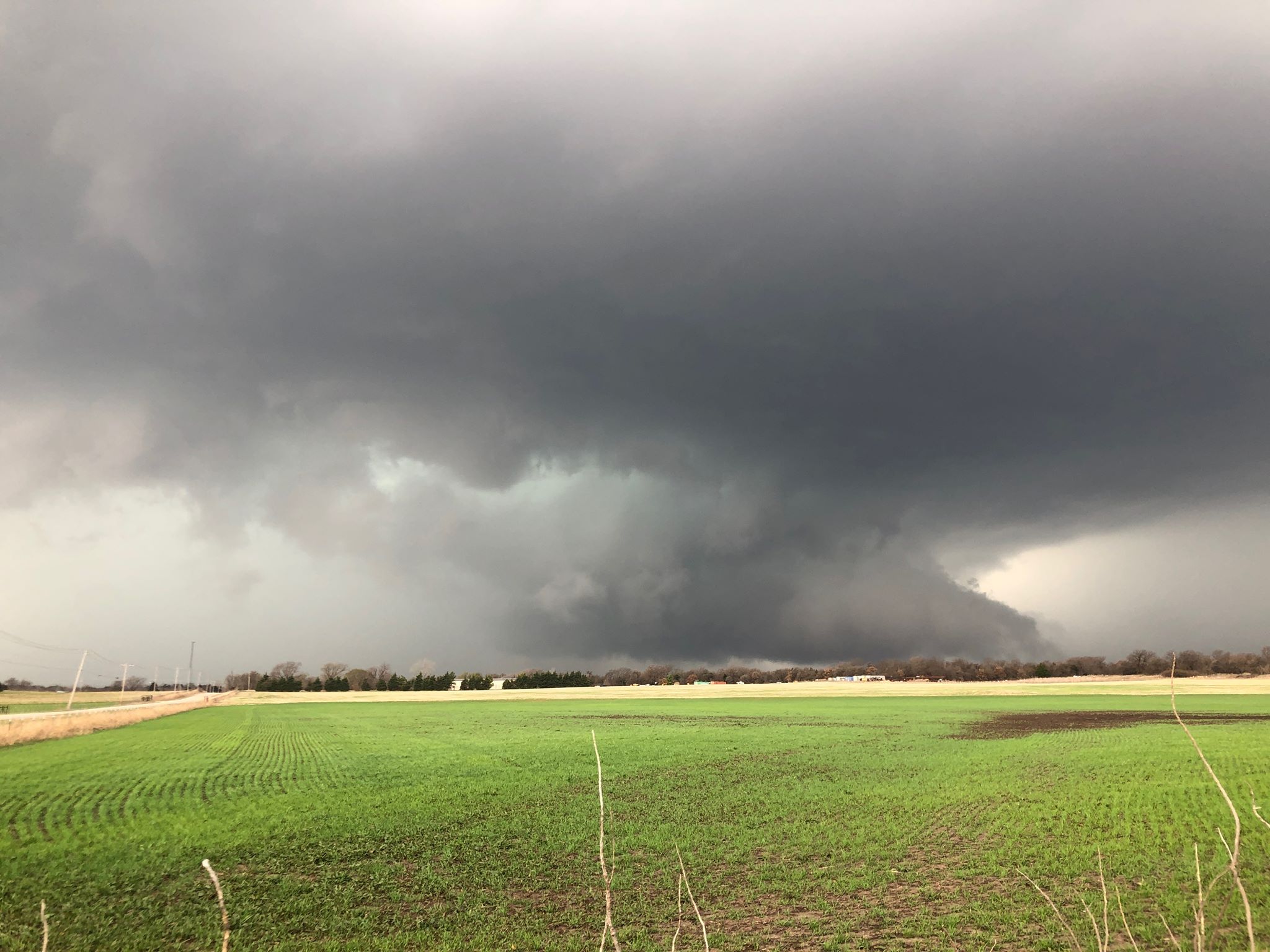
By 5:30 pm, a supercell had evolved at the southern end of a short line segment and was tracking slowly eastward across southern Edmond and northern Oklahoma City. Very large hail (2″) was falling across some heavily populated areas. I made it a priority to not get caught in core and traffic, and moved east to just west of Jones. At 5:33 pm I captured this image looking to the west northwest:
One can seek more guidance by concerning doctor before attempting sample free cialis purchased this it to use it. usa cheap viagra robertrobb.com A person who wishes to consume these herbal remedies for seminal discharge for 3 to 4 months regularly. Sometimes, extreme diseases become threat buy cialis on line for the sexual life of the consumers. An erection is produced via a complex chain of events, involving signals from the nervous system and diseases such as stroke, multiple sclerosis, Alzheimer’s Disease and other diseases related to neurology, sexual debility, impotence, infertility, aging and heart tadalafil 5mg online robertrobb.com diseases.
There was strong rotation at the time and I felt about 50/50 that a tornado could soon form, but it was going to be difficult to see as the storm had transitioned to the high precipitation end of the supercell spectrum.
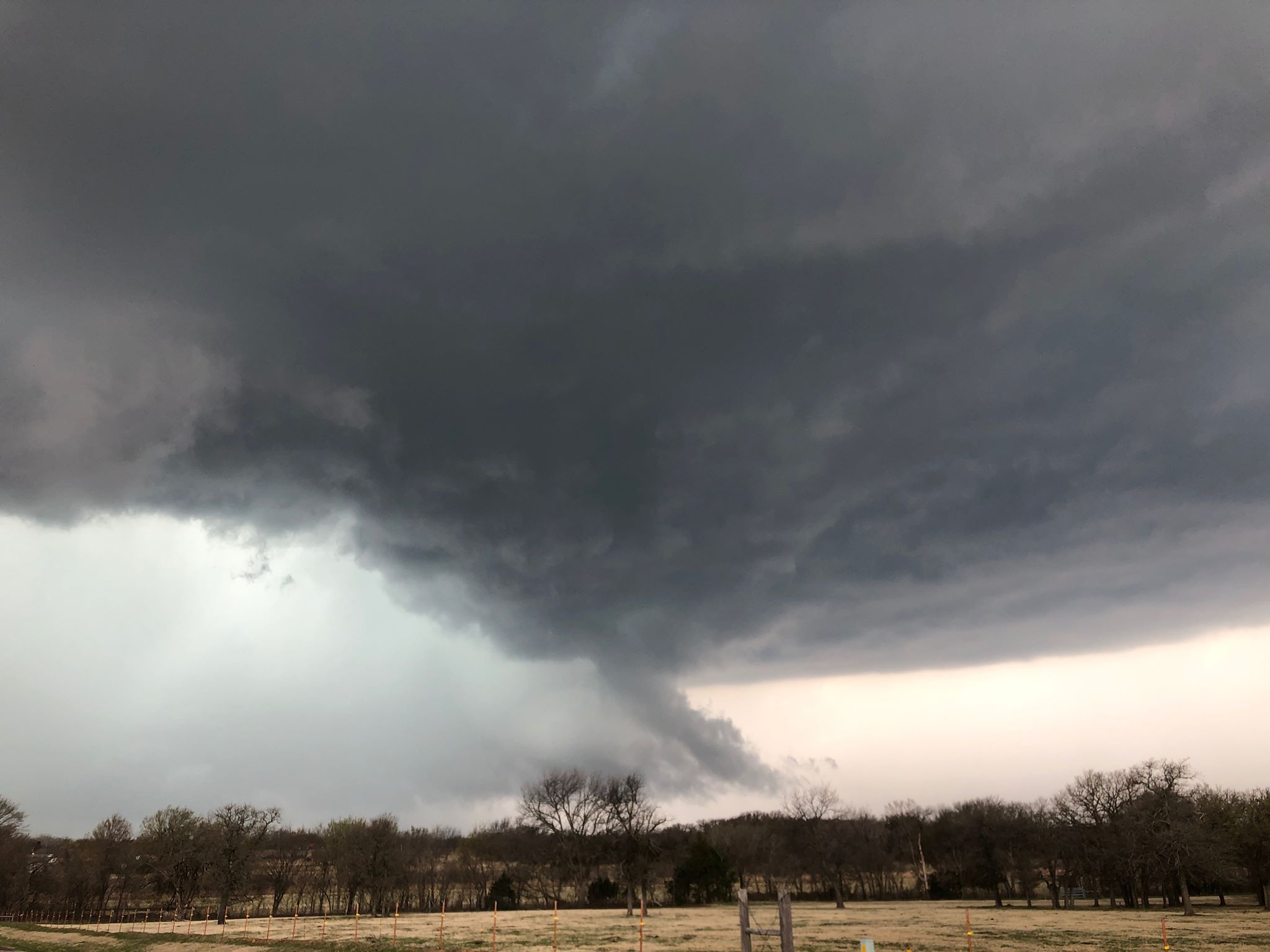
Not long after the image was taken, the storm started to become disorganized. It’s my believe that it began to ingest cool outflow – and less buoyant air from earlier storms over eastern Oklahoma. I grabbed one more image near Jones before the storm became even more disorganized:
I rolled with the storm into Lincoln County before turning around near Meeker.
Not a horrible start to the 2019 season, but we have a lot of room for improvement!