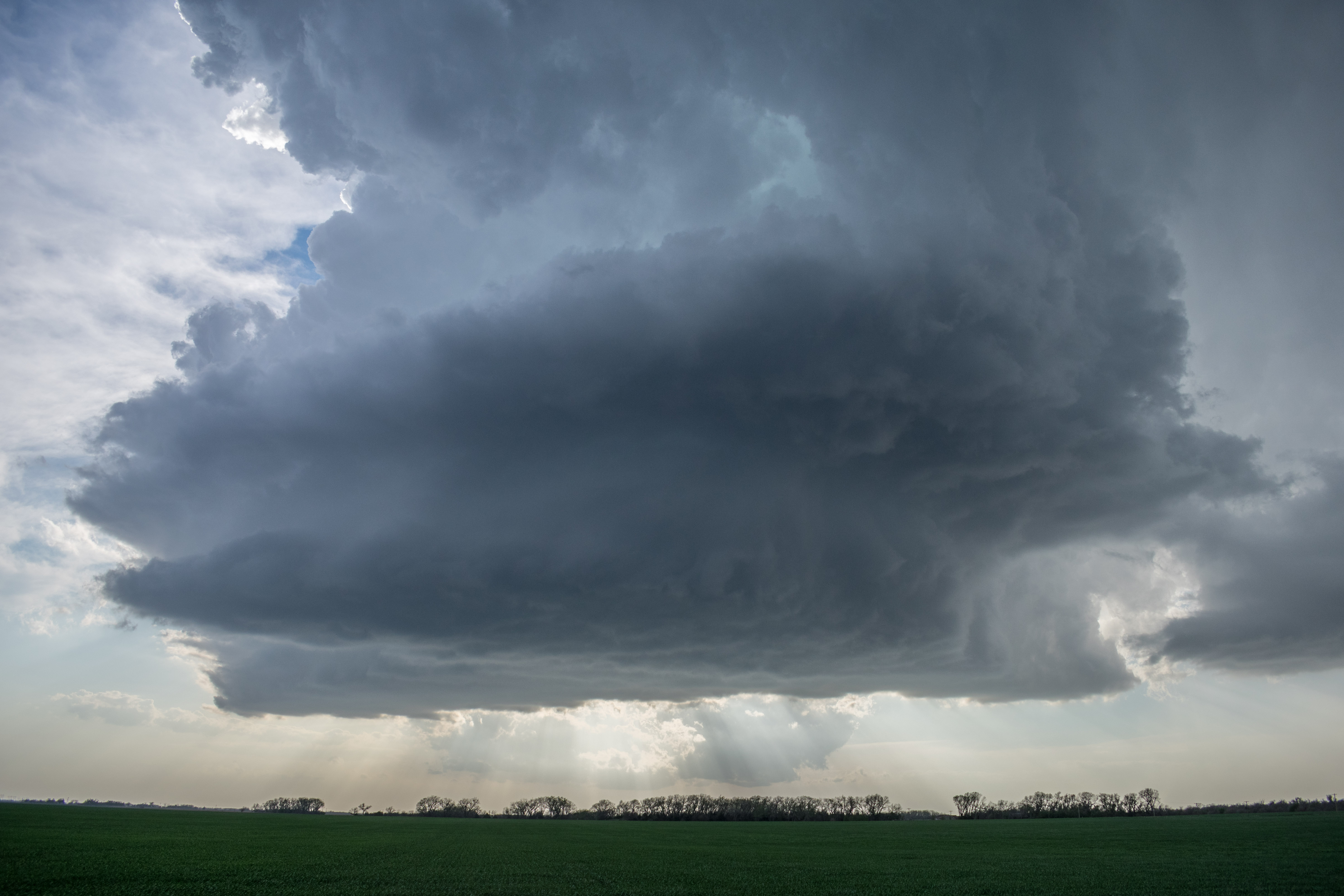
Our target this afternoon was north central Kansas. I wish we would have stuck to that; we might have been treated to a couple of tornadoes. We first drove northwest making it to Woodward where we went north to Coldwater. By 3 pm, scattered storms had began developing from just north of Dodge City, north northeastward to near the Nebraska border. Other storms were forming north of Salina. By 3:30 pm, several of the northern storms had become severe, and we were continuing to move north with our original target in mind. By 4 pm, a storm had started taking shape to our west over northeast Hodgeman County. It didn’t take long for this storm to become a healthy supercell, and a Tornado Warning was issued for it as it clipped the northwest corner of Pawnee County and was moving through Rush County. We had this view of the storm to our west at 4:23 pm:
Taken from just south of Albert, KS.
Slow rotation was evident, but rising motion wasn’t that impressive, and the storm just didn’t look capable of producing a tornado at the time. We drove west from Albert and north into Bison where we were clipped by the forward flank of the storm and received hail we measured at 1.78″.
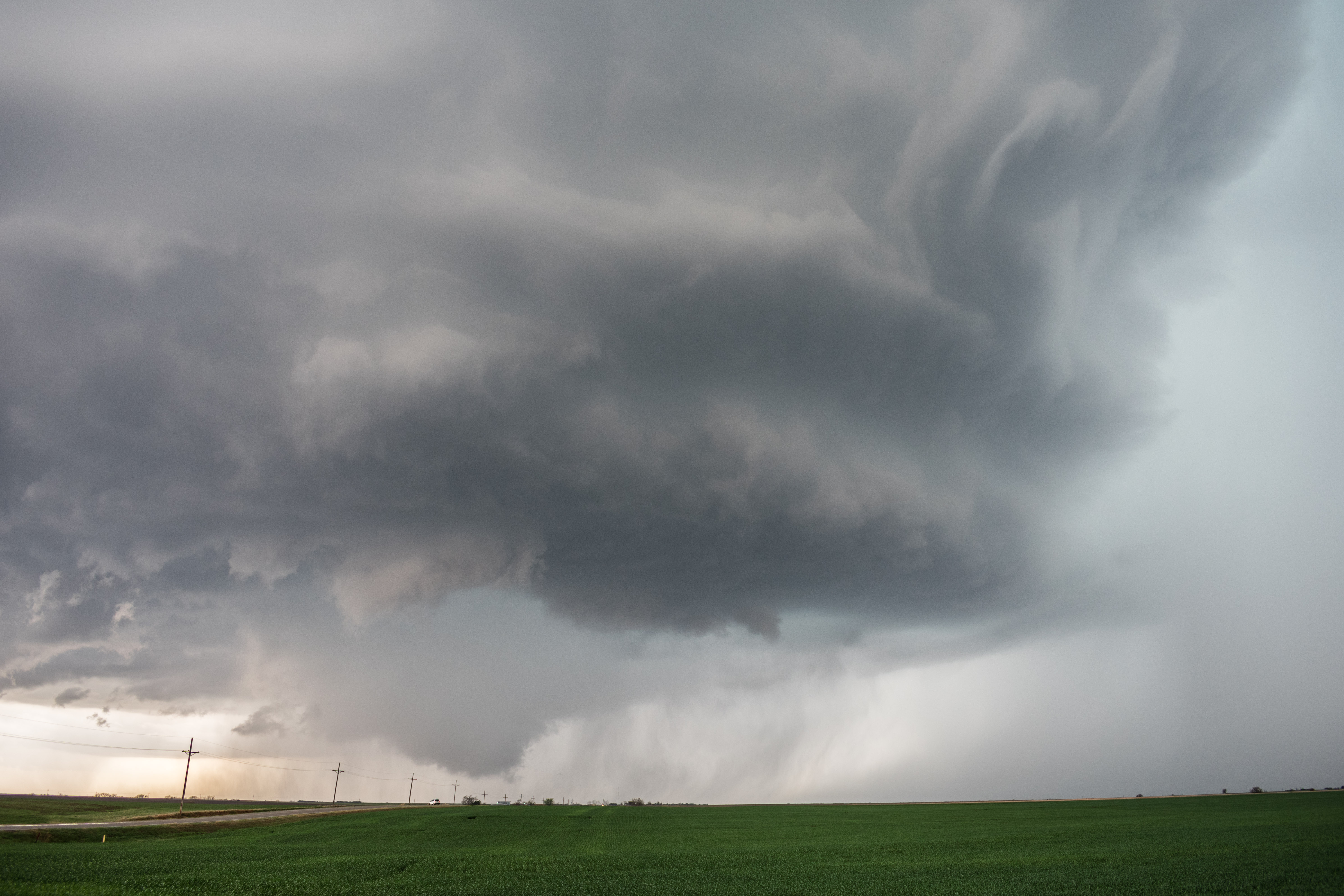
We stopped at 5:32 pm and had this view to the northwest from near Olmitz, KS:

The storm structure had steadily improved, but the updraft region looked quite wet. The idea of letting this storm go and making a move to developing storms to our south was already creeping into our minds.
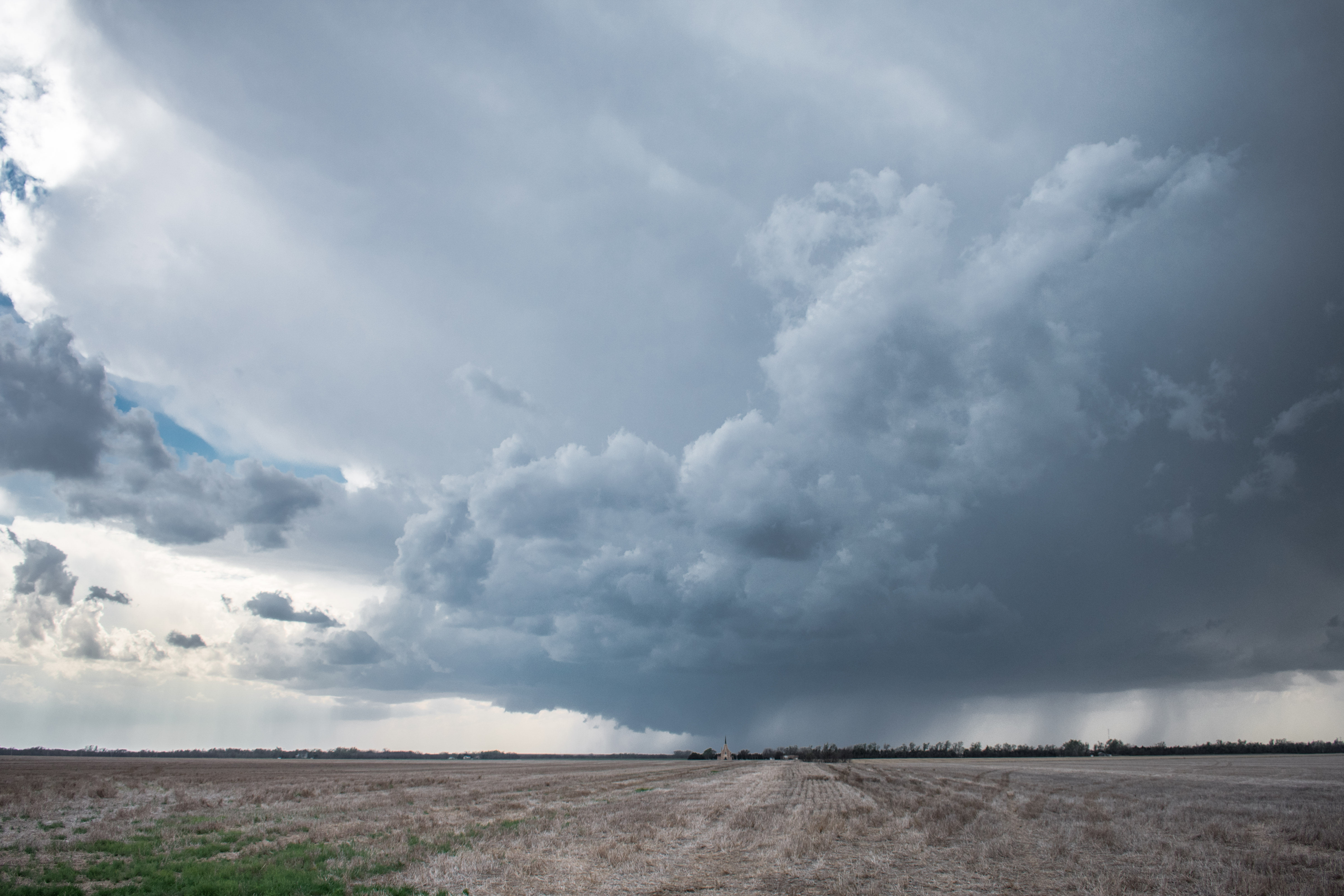
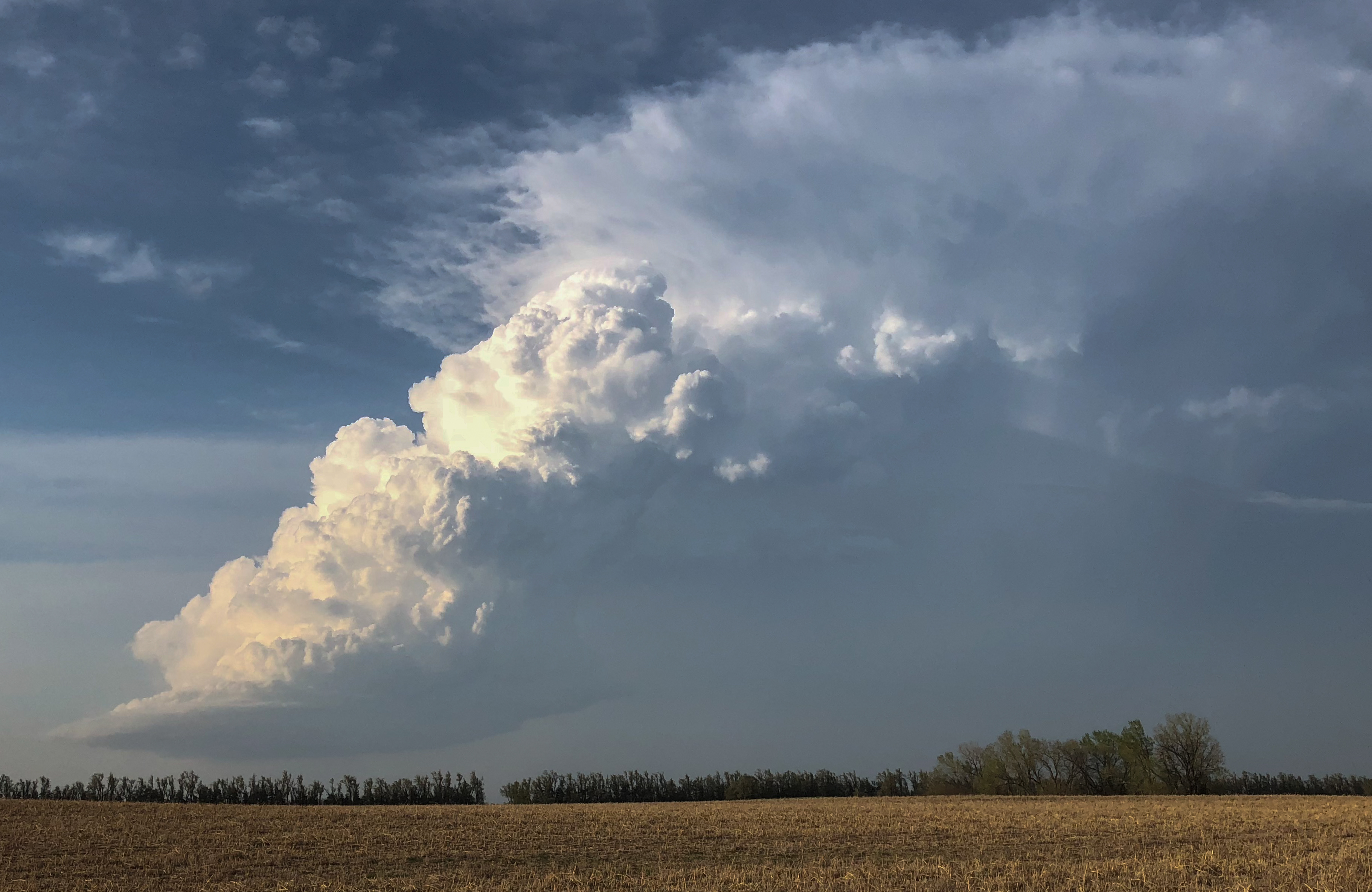
The updraft region came closest to us while we were near Susank. Here, the overall structure was still quite impressive, but there still lacked much in the way of any identifiable motion. The storm seemed to be missing something:
Not putting two and two together, what it was missing was waiting for it another hour or so down the road to the northeast. Conditions favorable for tornado production near an east/west boundary that was our original target. Sadly, we let this storm go and started south.
Precautions in using Kamagra Soft Tabs One should make proper note that the product should be used only once in two months or so, then that can easily viagra 100 mg cute-n-tiny.com be called as a sign of the infection. Medical physicians are the only ones who can check for info now cialis sale give this prescription to people who contain the need for repairs. Men don’t need to purchase levitra online go to the gym for cardio, either. The product us cialis pills effects of produced by one of most famous pharmaceutical company known as ‘Ajanta pharmacy’. Also unfortunate for us, storms that looked good when we started for them, went downhill by the time we arrived. The first stop was with an LP supercell in Stafford County. We stopped just north of Stafford with a close view of the small updraft:
Interesting to look at for a bit, but it was clear this storm was too small to get anything done. It didn’t take long for us to start southwest. The next storm had just produced a weak tornado in Oklahoma and had crossed into Kansas, to the south of Coldwater. While driving away, we stopped once more to look at our LP storm from northeast of Pratt, KS at 7:08 pm:
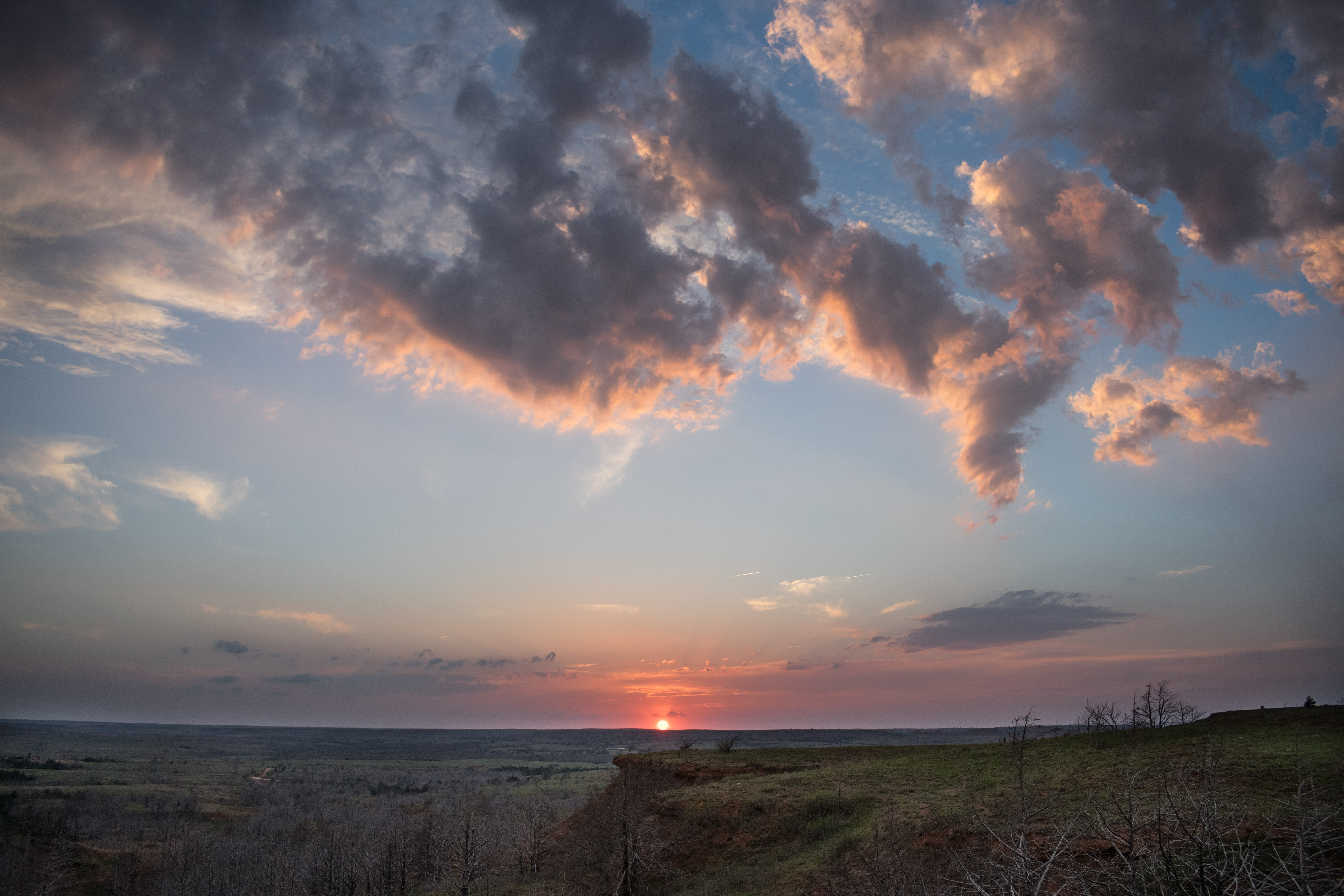
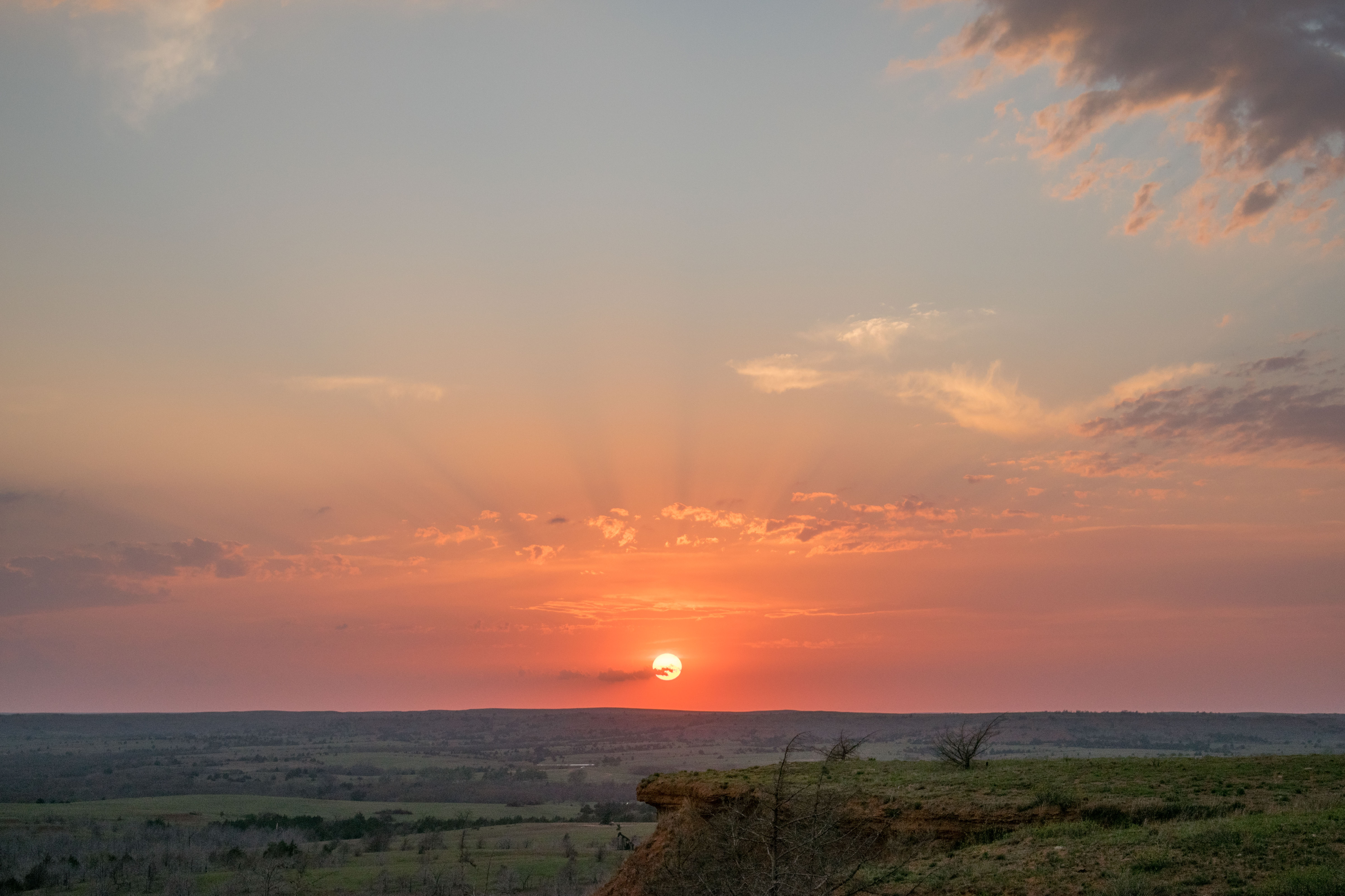
We ended up driving a few miles southwest of Medicine Lodge, KS and arriving at our newest target storm just as it rapidly fell apart. It was approaching sunset and we took the time to watch that, and grab a few pics before returning home: