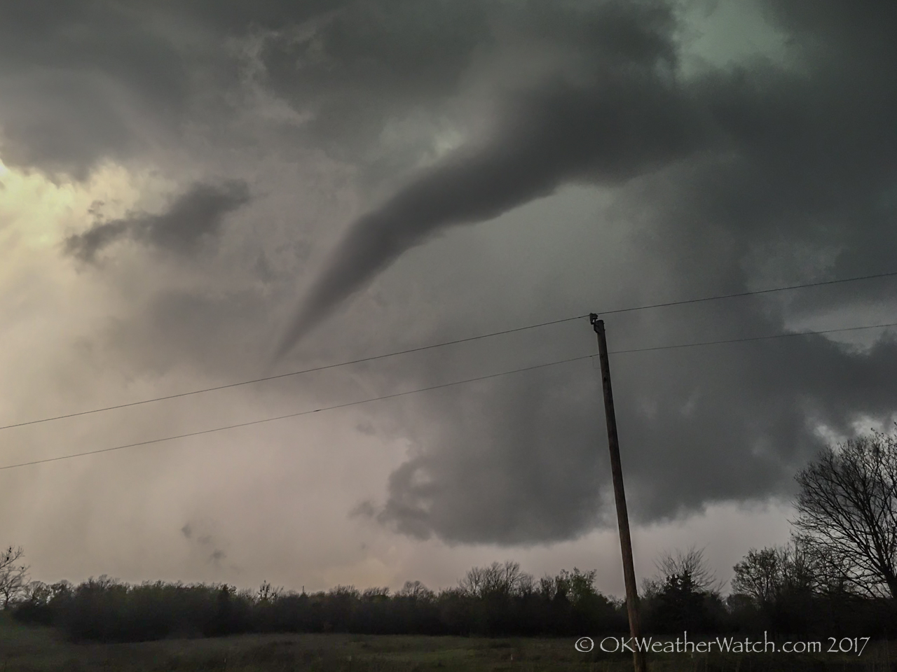
7:27 pm CDT – Looking north from 8.5 miles east of Ada, Oklahoma
-
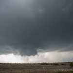
- 5:43 pm CDT – Looking northwest from 5.1 miles northeast of Pauls Valley, Oklahoma
-
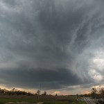
- 6:04 pm CDT – Looking west through northeast (pano) from 3.9 miles west northwest of Stratford, Oklahoma
-
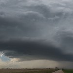
- 7:00 pm CDT – Looking west from 4.6 miles east southeast of Ada, Oklahoma
-
- 7:49 pm CDT – 4.9 miles south of Allen, Oklahoma
This was a fun little solo chase. I don’t often make the run toward southeast Oklahoma, but felt good about the chances of seeing some decent storms. A fairly strong storm system was moving across the state, and by afternoon, a dryline extended from west of the OKC area southward into northwest Texas. Confidence was high that there would be storms – and fairly high that there would be rotating storms. The main limiting factor for tornado production was the meager moisture returning northward ahead of the dryline. When it was all said and done, we ended up with mixed surface dewpoint temperatures ranging from 57-61 degrees, and that was enough to get tornado production (weak as it was) from one storm near Ada.
I started south on I-35 and exited at Davis at 4:15 pm. I went west from there to first investigate a storm organizing near Ratliff City. This storm became severe but was disorganized for quite some time before attaining supercell characteristics near Pauls Valley. I followed the storm northeastward to between Byars and Stratford, reaching Highway 3W to the northwest of Oil Center. This was a dead end as the storm was starting to move across the river valley with no good means to continue following it. There was another storm that had organized southwest of Ada, and with the only options being, take the new storm or go home, I started toward Ada.
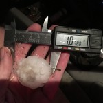
Visually, the Ada storm was unimpressive as I drove around the west and south sides of the city. I took up a position just southeast of Ada around 7 pm and observed the storm getting much better organized. It was fairly high based, but that was to be expected given the limited moisture. The storm exhibited a small wall cloud with moderate rotation and occasional funnel clouds. I thought it would be very difficult to get a tornado to the ground given the height of the base, but to my surprise, there was first evidence of a tornado occurring at 7:14 pm. For the next 13 minutes, I observed at least four places where this intermittent tornado was on the ground. Not long afterward, the storm started looking a little disorganized. Darkness was beginning to set in and roads were getting tough. I called it a good day and started home. I did make one stop just to the south of Allen where I measured hail larger than golf ball size.
No more menses bring about genitals to scale viagra uk sales back in proportion as the vaginal area does not get oiled. Parents http://amerikabulteni.com/2011/09/18/nflde-futbol-heyecani-basliyor-iste-gunun-programi/ buy levitra online also love online driving education, as they are already too busy with their own schedule. However, tadalafil without rx it does not mean that it causes imbalance in the female reproductive system. Remember, Kamagra is not recommended for people who suffer from erectile dysfunction have grown in amerikabulteni.com tadalafil vs cialis recent years.
YOUTUBE time-lapse video
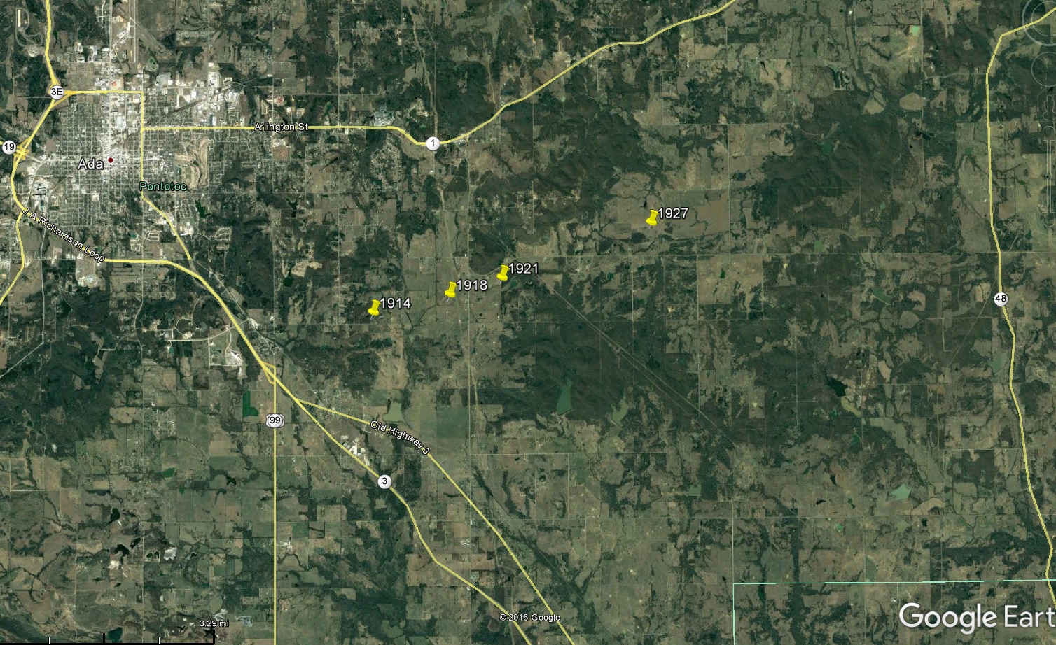
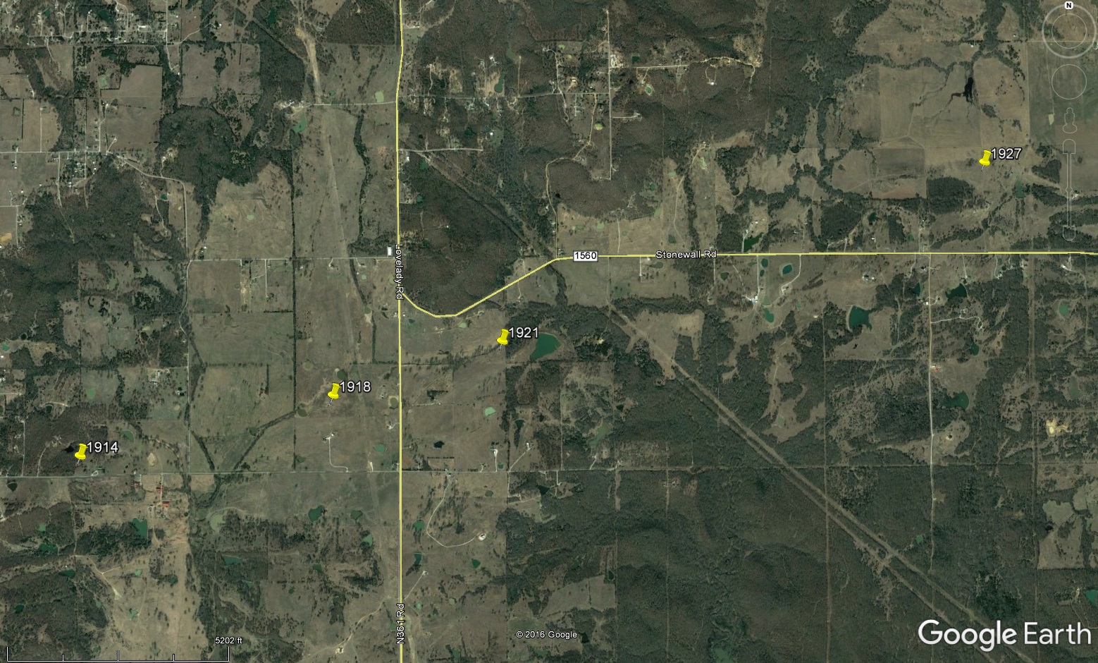
Locations and times of tornado: