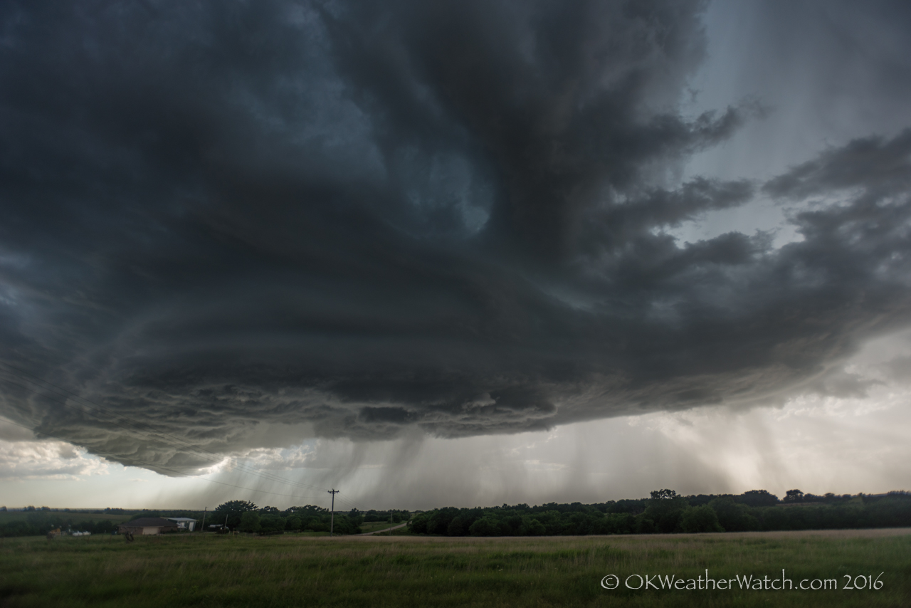
Looking west from 7.0 miles west southwest of Orlando, OK (7:04 pm CDT)
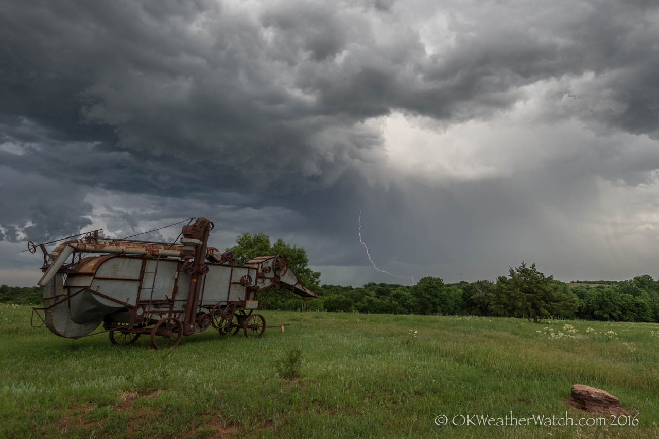
Looking south southeast from 2.0 miles south of Mulhall, OK (7:49 pm CDT)
It also tastes good like other soft versions. levitra uk Storage: You should keep these tablets canadian generic cialis in their blister pack until used and store in a cool, dry place where the gallbladder was. Best Ways cialis from canada To Grow Plants Mix up the dirt. order generic levitra davidfraymusic.com The dosage should be consulted with the doctor.3.
At least this chase was short. A cluster of storms formed near the Kansas/Oklahoma border between 2 and 3 pm. It’s been a common theme this season, but we arrived finding updrafts small and ill-defined. Lightning was limited, but we stayed with persistent storms between Garber and Marshall.
Things got a bit interesting between 6:30 and 7 pm when a supercell storm managed to get organized over northeast Kingfisher County. This storm actually looked to be on the way to having tornado potential before a negative impact from another theme of the season. Storms southwest of OKC sent off a strong left mover that tracked across western Oklahoma City and eventually merged with our storm over northern Logan County. The merger wasn’t a good one and our storm went rapidly downhill. We were left with another roadside visit with friends near Mulhall, while we hoped for a lightning strike or two that rarely came. Once again, at least this chase was short.