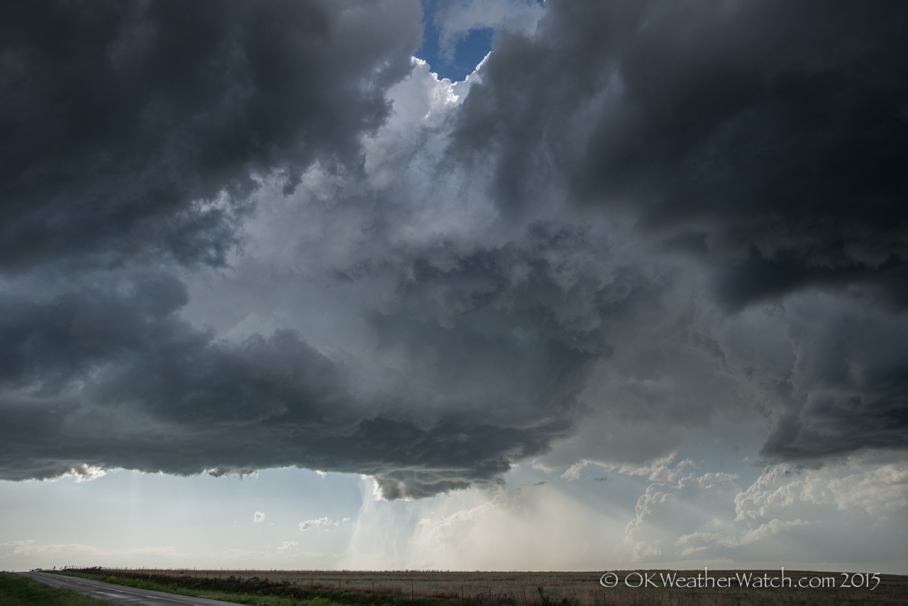
Looking northwest from 1.1 miles southwest of Beaver, OK (6:35 pm CDT)
There was yet another round of atmosphere wrecking morning storms just east of the dry line that extended from southwest Kansas into the Texas Panhandle. Skies started clearing and it appeared that the atmosphere could recover enough to support a supercell threat over the eastern panhandles. I arrived near Booker, Texas with building cumulus from northwest to west to southwest. There were a few storms that managed to get established.
One storm that I considered targeting tracked eastward near I-40 and ended up producing a small tornado near Elk City, Oklahoma. I stayed with a small cluster of storms that originated near Perryton, Texas and tracked northeast across Beaver County in Oklahoma. The storms eventually consolidated into a nice little supercell as it tracked across Meade State Park in Kansas. And as typically been the case this year, this was a region with very few paved roads. If the storm produced anything, it was when I was making a long journey to get around the storm. By the time I got reacquainted with the storm, it was starting to fall apart. A fitting end to dealing with this storm system.