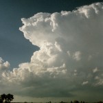
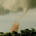
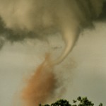
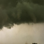
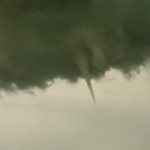
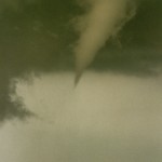
- Beautiful supercell near Attica, Kansas just prior to producing first tornado.
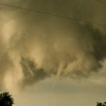
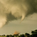
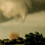
- First tornado forms with Anthony storm.
- Views of the weaker tornadoes with the Anthony storm.
This was a classic late May setup for severe weather over the Central and Southern Plains. An upper low was located over the Rockies with strong mid-level flow extending from Arizona/New Mexico east northeastward. There was a sub-1000mb surface low near the Oklahoma Panhandle and very moist air was in place across Kansas and Oklahoma. This was about the time I started introducing the phrase, “It’s not a matter of if, just how many?”
We crossed into Kansas near Kiowa and had two storms within reach just to our north and northeast. The first storm to produce a small tornado was several miles to our north. It was hard to stay put with the closer storm west of Anthony while the Attica storm had started producing tornadoes, but the closer storm was getting its act together quickly.
At first, it looked like Anthony was in trouble. The wall cloud was really starting to spin just west of the city. Luckily, it waited until it was about 3 to 5 miles east of Anthony before it produced its first tornado. This tornado picked up a lot of red dirt and had some light shining on it, making it one of the prettier tornadoes I have seen. From there, the storm produced a series of small tornadoes as it worked its way eastward along and just north of Highway 44.
Unfortunately for us as chasers, the most impressive tornado waited until we had ran out of east road options. We sat just west of Perth and watched the large tornado disappear to our northeast.
