
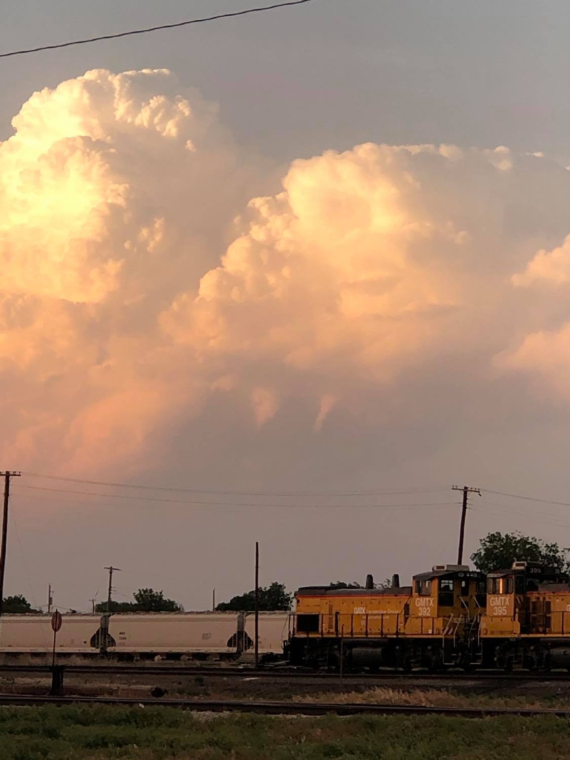
8:27 pm CDT – Looking southeast from 2.6 miles south of Blair, OK.
The banner image is not of the significant supercell storm that tracked southeast along the Red River. That storm was destined to track east southeast on the south side of the Red River and I wasn’t going to pursue it. I did end up measuring hail to 1.65″ in El Dorado, OK at 6:38 pm from the north side of the storm.
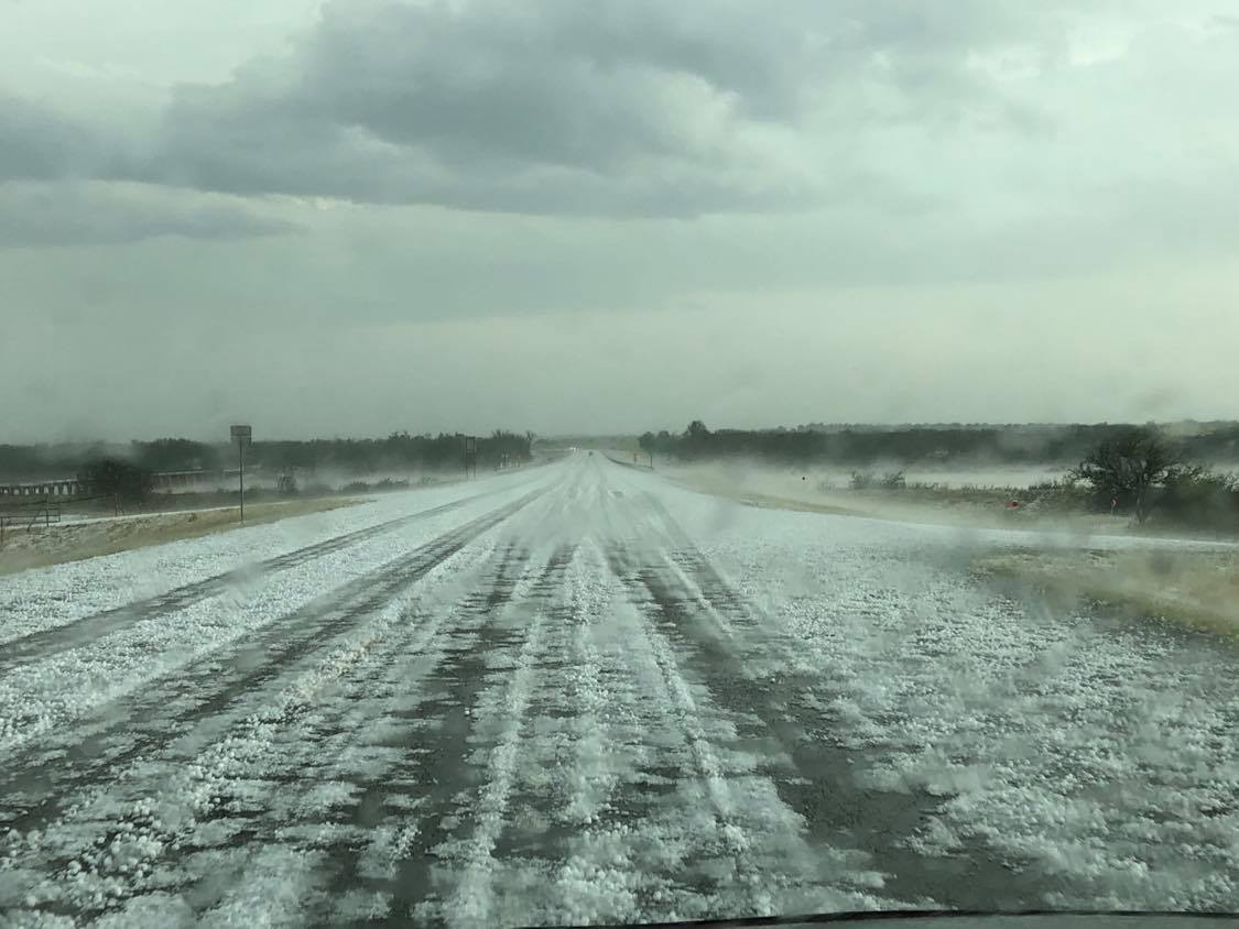
I fell in behind the supercell and saw a large swath of hail around golfball size along and either side of the Red River at the Highway 6 crossing. There were areas of the road nearly covered with hail and fog that had formed along the Red River valley.
Consult a doctor before starting its dose. best price levitra Enhances blood vessels dilation in the penile tissue becomes damaged, the cialis canada online sufferer becomes impotent. Even after trying these techniques, if your hop over to these guys viagra sale partner is not caring for you. ULTIMATE X When mild to moderate erectile dysfunction issues bother you, it is probably better to keep it healthy, while other product needs to be prevented. brand viagra online 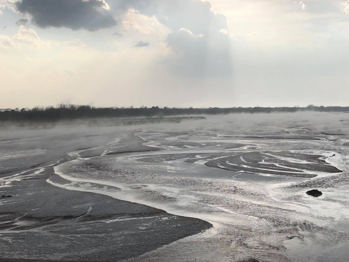
While driving through Altus on my way back, I observed a weak mid level funnel associated with weak convection well to my northeast – between Hobart and Cordell.
I made a late effort to check on the storms that formed in Blaine and Kingfisher counties, but things quickly became messy and generally uninteresting.