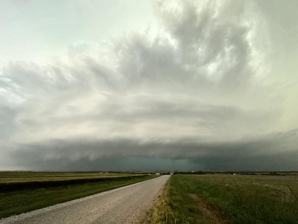
A fairly short chase on a high risk day in Oklahoma. We elected to jump on a storm northwest of Seiling that was moving northeast toward Major County. Considering how impressive parameters were on the day, the storm only gradually attained a nice appearance and began rotating.
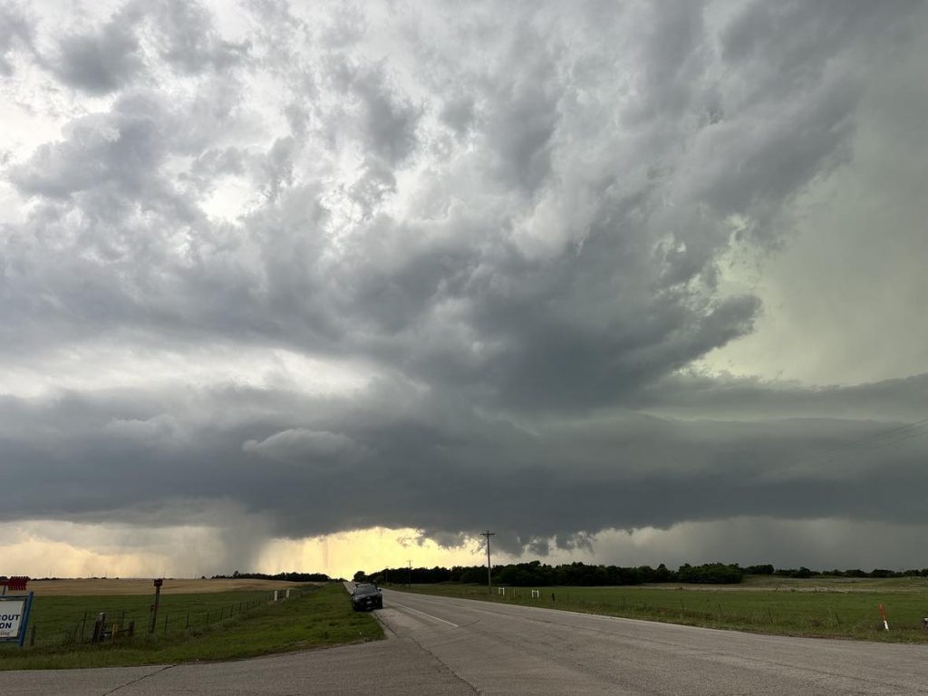
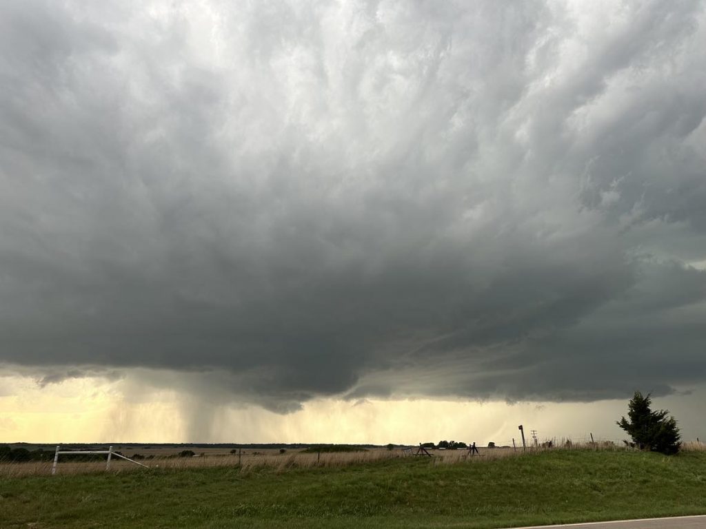
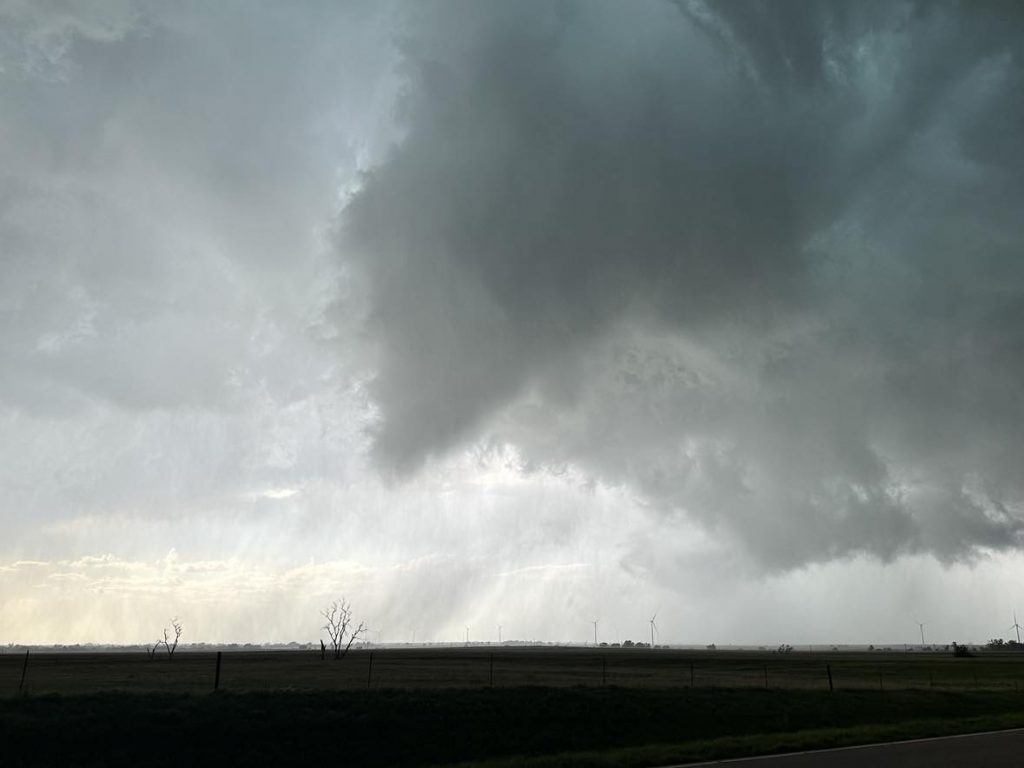
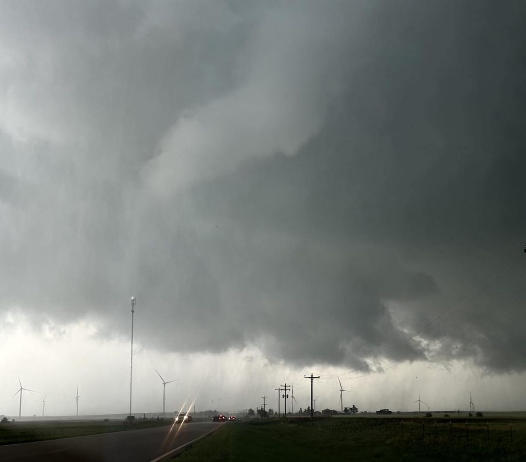
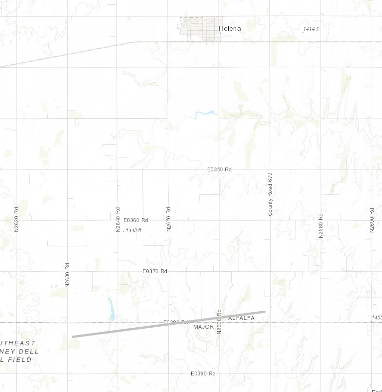
The storm ended up producing a ragged looking weak tornado that tracked along the Alfalfa/Major county line between 6:04 and 6:11 pm CDT:
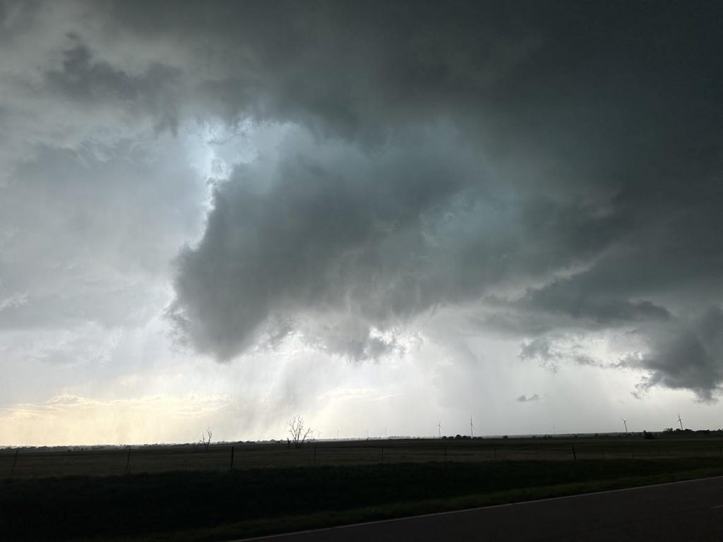
We observed one more high precipitation supercell that moved from northern Kingfisher into southern Garfield County. The storm likely produced at least one tornado, but it was heavily embedded in rain.
