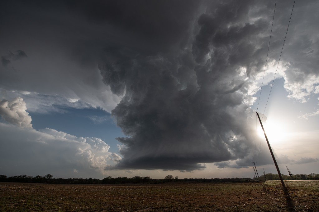
We departed this day with a relatively small target area around Wichita, KS. While knowing tornadoes were possible, the thoughts were that significant tornadoes were unlikely, and once again it appeared that storm structure would be our reward for our efforts. After driving a bit north of Wichita, we turned east and stopped near Furley as a supercell organized just west of us. This image turned out to be more interesting than first thought:
Besides the nice supercell updraft, you can see one of the many mid level funnel clouds we observed this day at the upper right. Also, to the left and distant, the vigorous convection that would go on to produce the tornado at Andover.
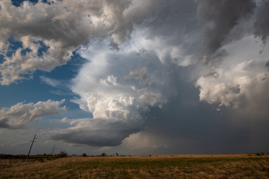
Later, the storm as it neared Potwin:
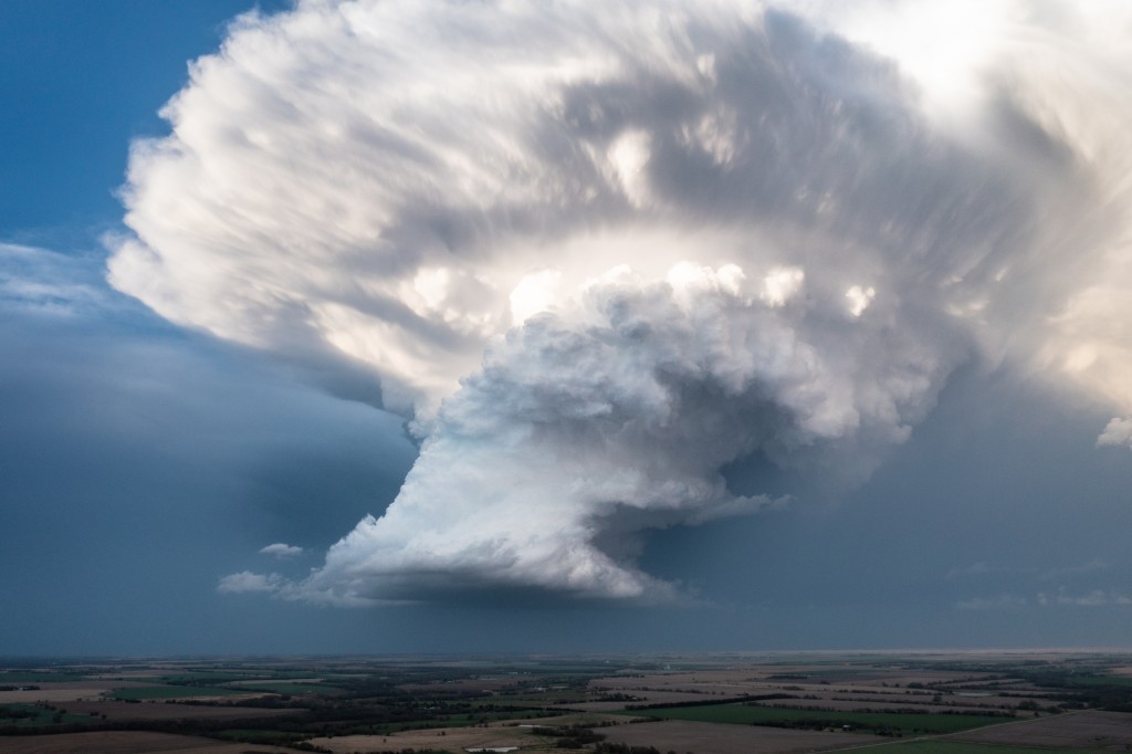
A final look at the storm from the view of the drone:
While this original storm was quite pretty, it always appeared that it had low volume and somewhat of a high base and was unlikely to produce a tornado. After we pulled everything out of it we thought we could, we redirected south toward the storms that were organizing on the east side of Wichita.
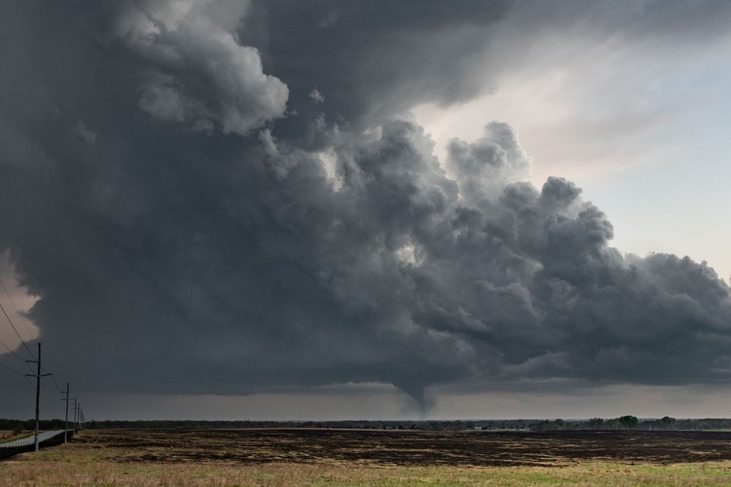
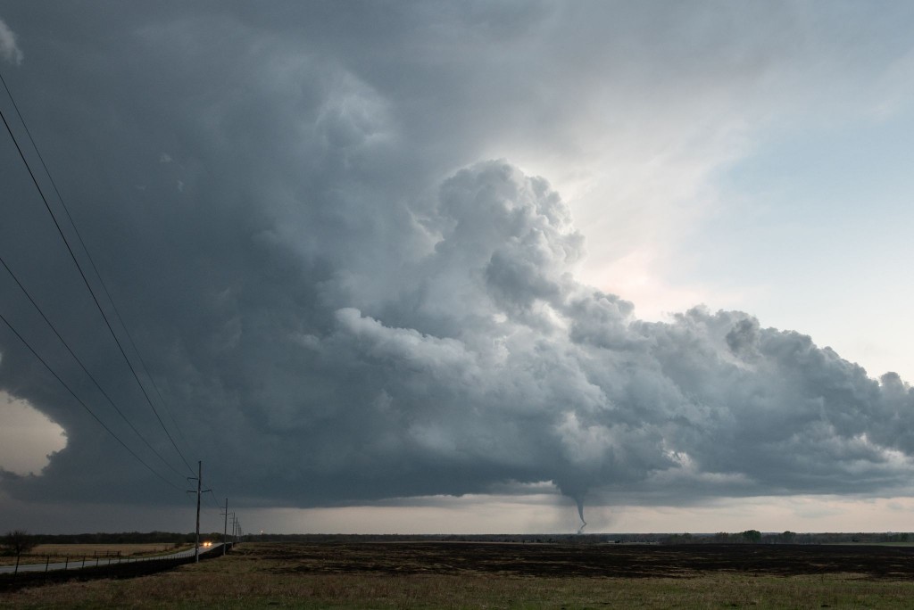
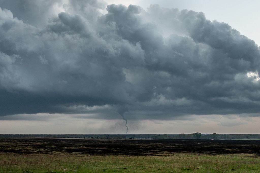
We weren’t very far in our southward trek when a funnel cloud became visible in the distance. While still 20 miles away, we could tell when it had developed into a tornado. We continued quickly south and made the decision that we would find a viewing spot and just accept viewing the tornado from a distance. This did give us somewhat of a unique view of the combined storm and Andover tornado, and it continued to move closer to us, getting within 5 miles to our south southwest.
Images of the storm and tornado:
