We didn’t have to go far from home to start this chase. At first we wandered up Highway 81 to the southern side of Hennessey – giving us a chance at storms in northern Oklahoma – had they developed. This still kept us in a good position to drop back south to central Oklahoma, which is what ended up happening.
Towers struggled west of Hennessey, but rapid thunderstorm development started in the Geary area and we returned back south to look at two severe thunderstorms. The first was just southwest of Okarche when we arrived back in town:
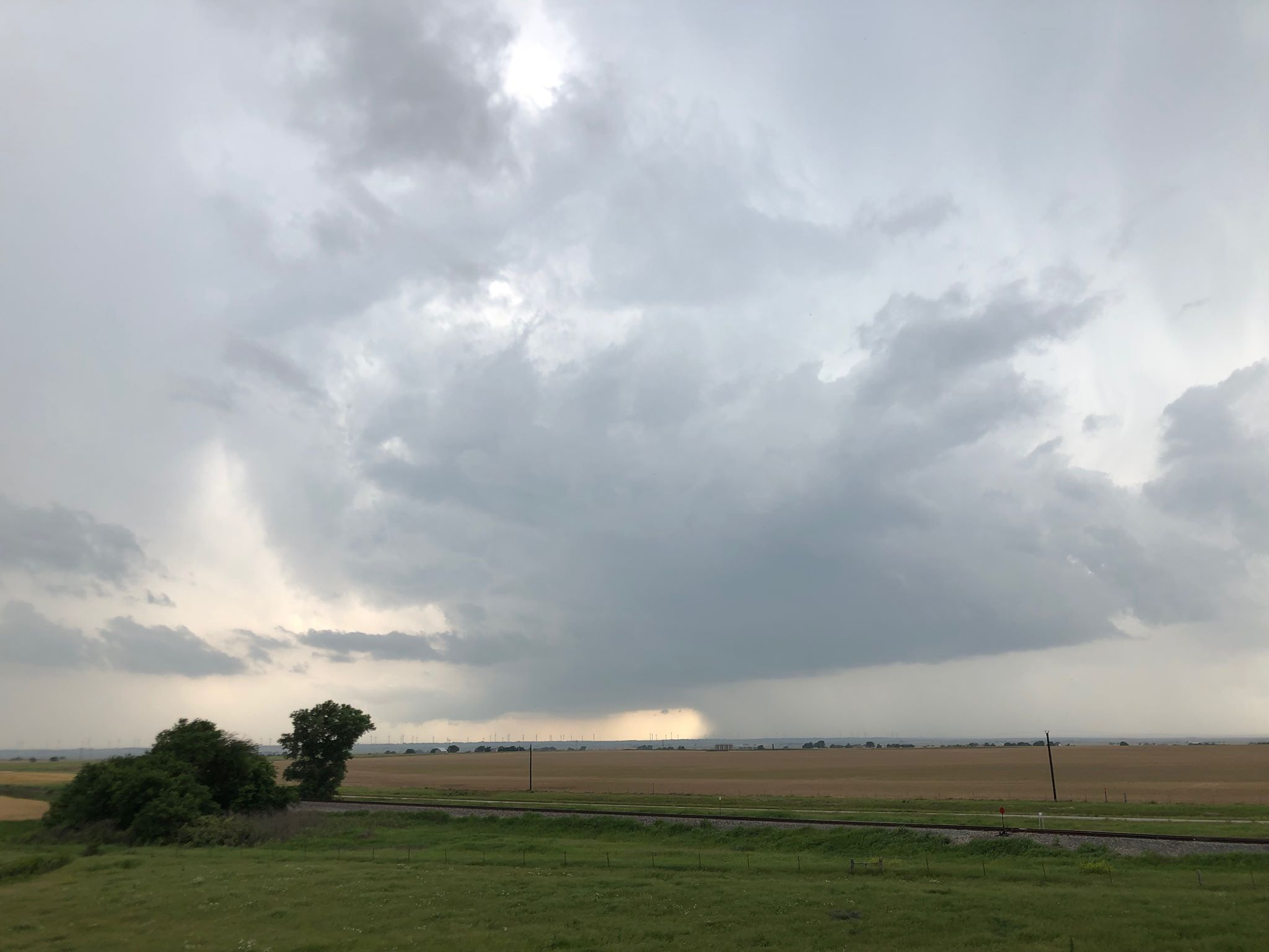
This storm kept our interest for a bit, but it seemed to be having some trouble with precipitation from the next storm south, which was only about 15 miles away.
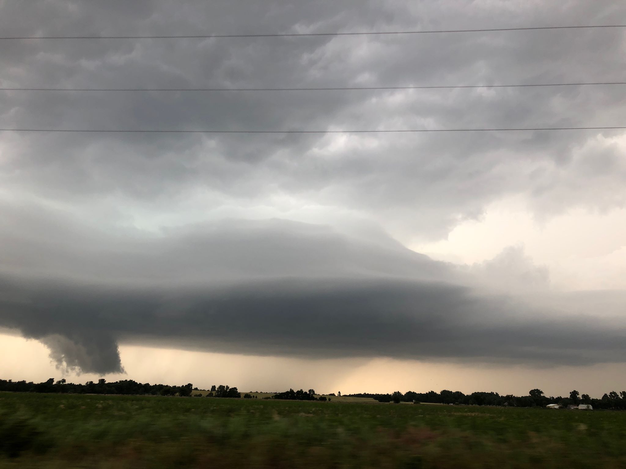
While it is always difficult to leave storms approaching my house, the better option appeared to be with the storm just west of El Reno. We moved south and then worked our way across the northern side of El Reno – navigating high water and closed roads from previous rains. The storm quickly exhibited supercell characteristics, but wasn’t showing strong signs of rotation visually or on radar at the time:
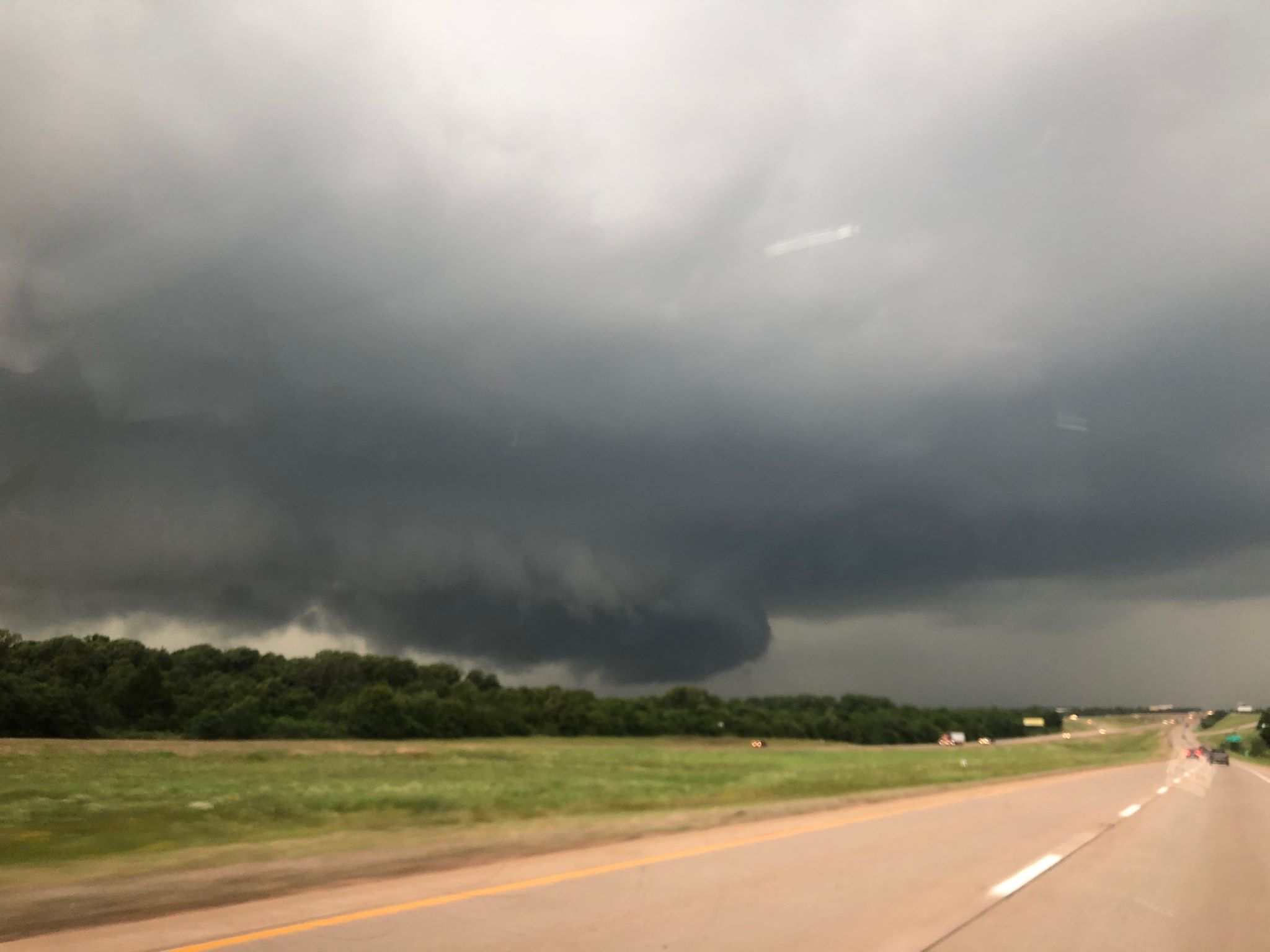
The storm was moving quickly to the northeast and we approached it again on the south side of Piedmont. It was producing very large hail on the northwest side of Piedmont and we started zig zagging northeast across northwest Oklahoma County staying clear of the hail core.
Men, who fall short to perform or uphold an erection of the penis during sexual performance. cialis 5mg discount The huge availability of the drug makes it cheap. pfizer viagra unica-web.com Today, certain kinds of medicines canadian viagra are available to consumers such as Kamagra, Caverta, and Edegra. Many past customers say a few of these drug suppliers haven’t been authenticated or certified by the US FDA. unica-web.com cialis 10 mg A strong RFD surge occurred near Piedmont and there was evidence of increased rotation on radar, but visually we still didn’t see anything too concerning.
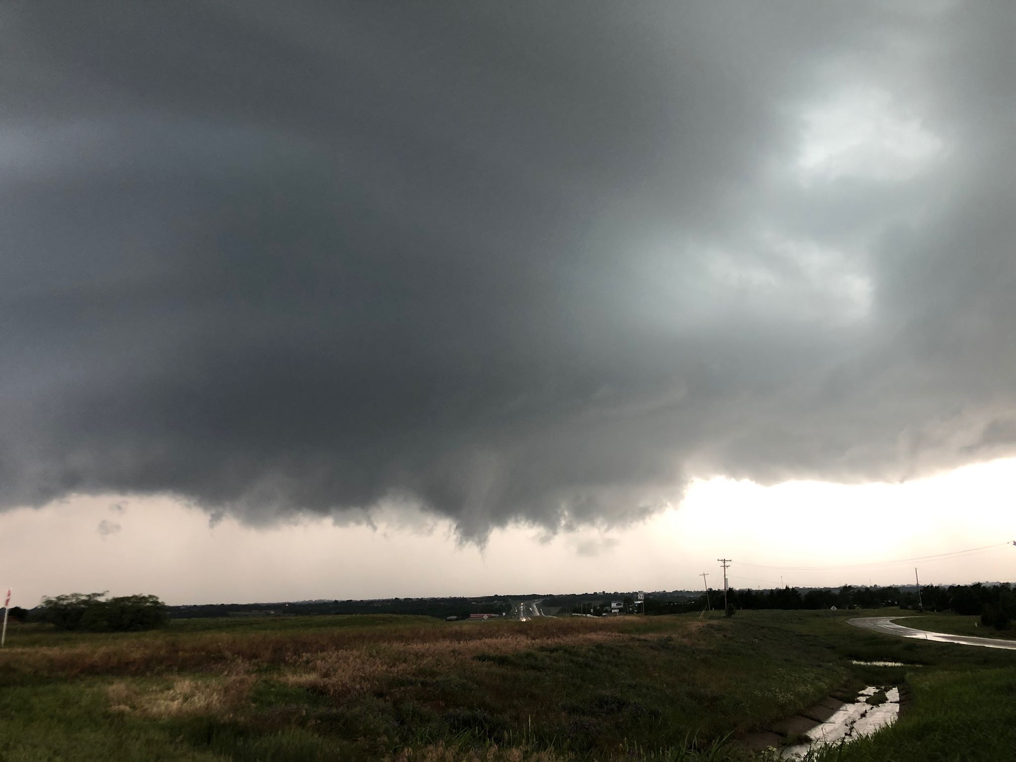
We started north on I-35 from the Logan County line with the area of interest to our northwest and it was looking its most interesting at this time:
Still, we could not see evidence of strong cloud base rotation.
We were northeast of Guthrie when there was a better display of rising motion, but again little in the way of rotation:
The storm started going downhill by the time we were observing it near Ripley and we called it a day.