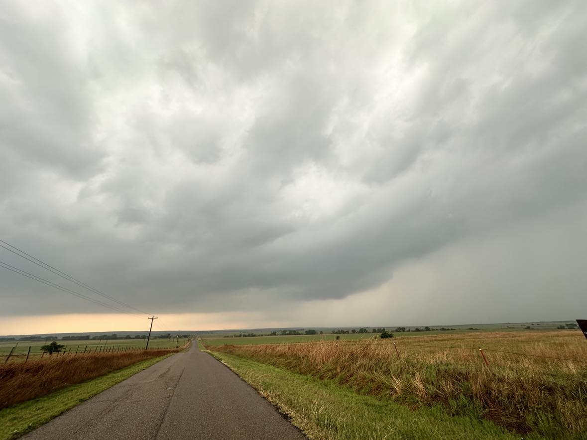
It was anticipated that a significant outbreak of severe storms and tornadoes would occur in Oklahoma. Indeed, there were a lot of tornadoes – but mostly after sunset – with the most impressive events near and east of the I-35 corridor. Most of the daylight storm structure wasn’t very sharp and the view complicated by haze. By mid-afternoon, explosive thunderstorm development occurred north of Carnegie.
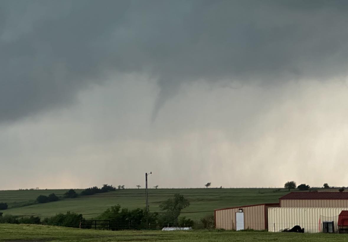
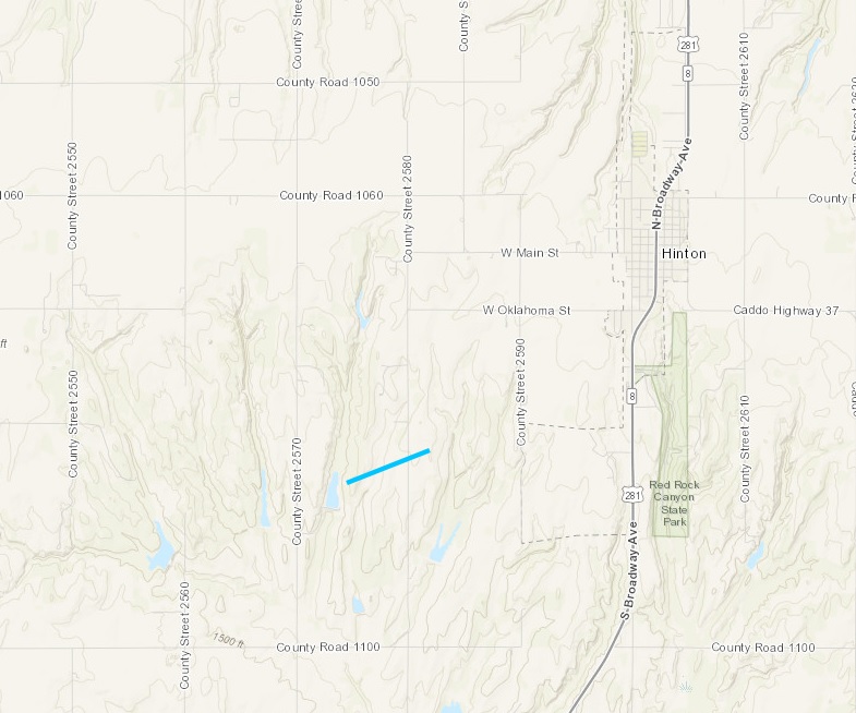
This storm moved quickly northeast and began rotating over northern Caddo County. I observed a brief and weak tornado southwest of Hinton at 4:10 pm CDT:
The storm went on to produce a rain wrapped tornado in Canadian County to the northwest of Calumet.