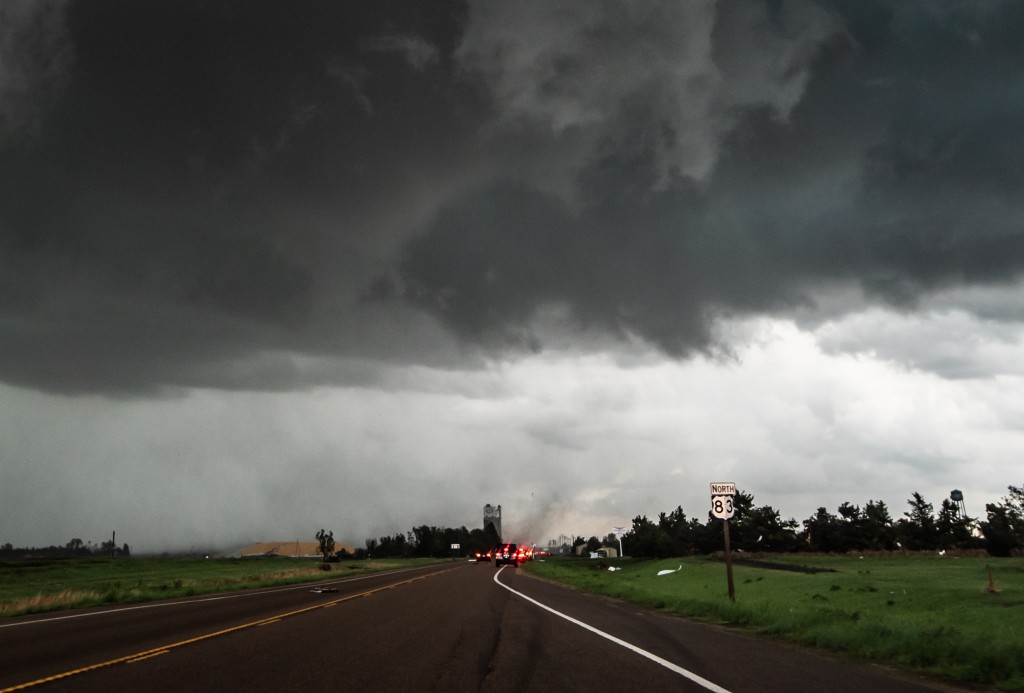
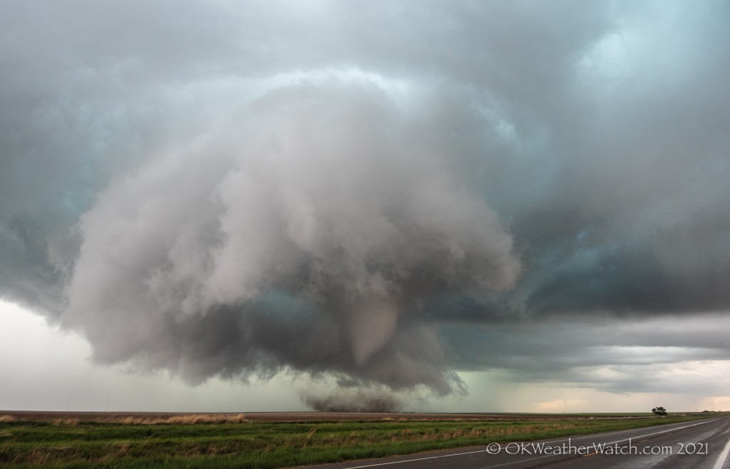
 Ray and I had knocked out the big drive the day before with the chase in Colorado. This day started more leisurely, with a bit of a sleep-in in Goodland. We had some challenges during the day, but in the end, we had one of the more intense encounters with a tornado that I’ve had in years.
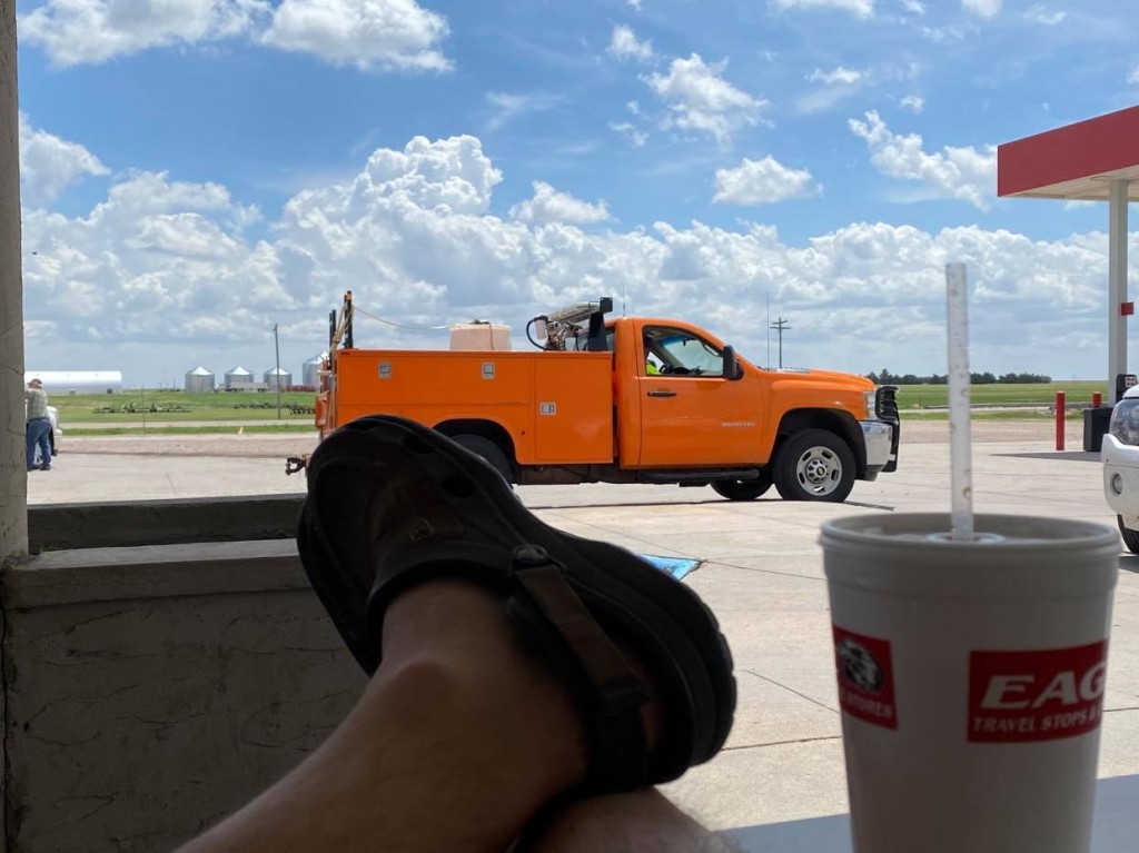
We opened the door in Goodland to dense fog, drizzle and cold air. The obvious target was an east/west boundary about two counties to the south. However… morning model data suggested that moist southeast flow would work back into the Goodland area by afternoon and signaled storm development. I’ve seen this movie before… leave the area that eventually gets the best storms. But, if nothing else, a short trip south would get us back into some sunshine and mild air. We felt we were still close enough to get back north if we needed to. It was nice to kick up our feet in Tribune and watch the convection bubble along the boundaries:
By 1:30 pm, a short northeast to southwest line of broken storms had formed just to our east and we started moving toward Leoti. There wasn’t a lot special about the storms, but it was first attempts at some structure and lightning was increasing: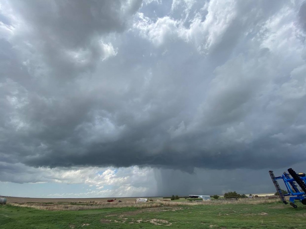
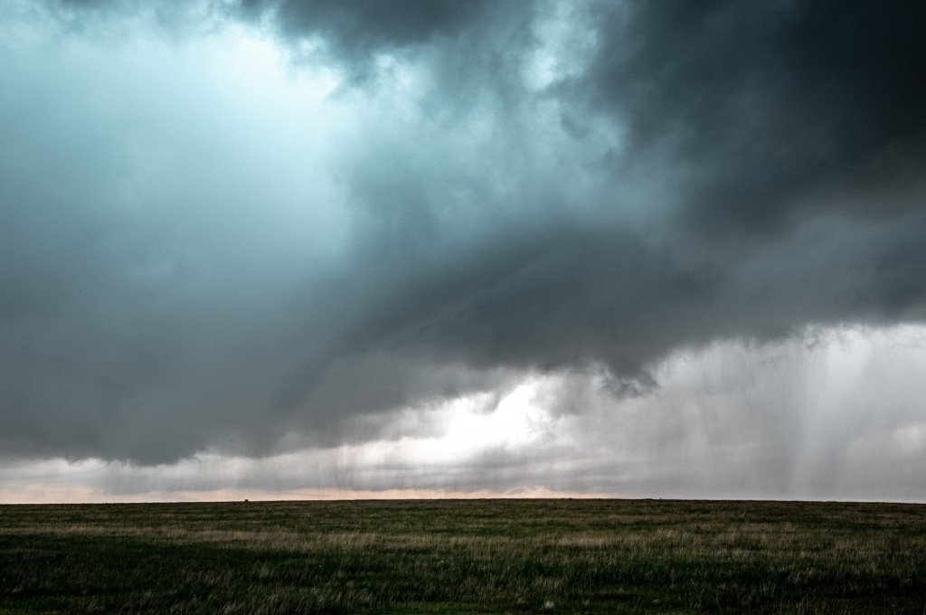
We stair-stepped northeast to the north of Leoti through 2:30 observing not a lot of change in the storms. Skinny line segments with occasional breaks and updraft structure: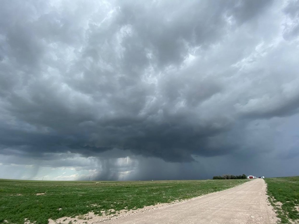
Our storms were having a difficult go at it, somewhat high based and strung out, and basically just not improving much. It was just before 3 pm when a small storm formed well to our north – to the southeast of Goodland. It didn’t take long to start producing small tornadoes and it was becoming clear that our fears of the front to our north overproducing were coming true. If we were going to change our target area, it needed to be done quickly. In about a minute we were heading north on Highway 25.
While enroute, we went through some emotion swings. Were the storms that were there going to still be there at our arrival? More, less, nothing? The first storm we came across as we approached I-70 was pitiful looking, despite still being tornado warned. There was really nothing left but a raining out shriveling updraft. A new storm northeast of Colby was tornado warned and we directed toward it. This was also a small storm, and to make things worse, it was surrounded by several other small storms. We did see a couple of small, brief funnel clouds with it as we approached Gem. We continued east northeast on Highway 83 to Rexford and then north, using an 8 mile long stretch of paved road to get in front of the strongest storm: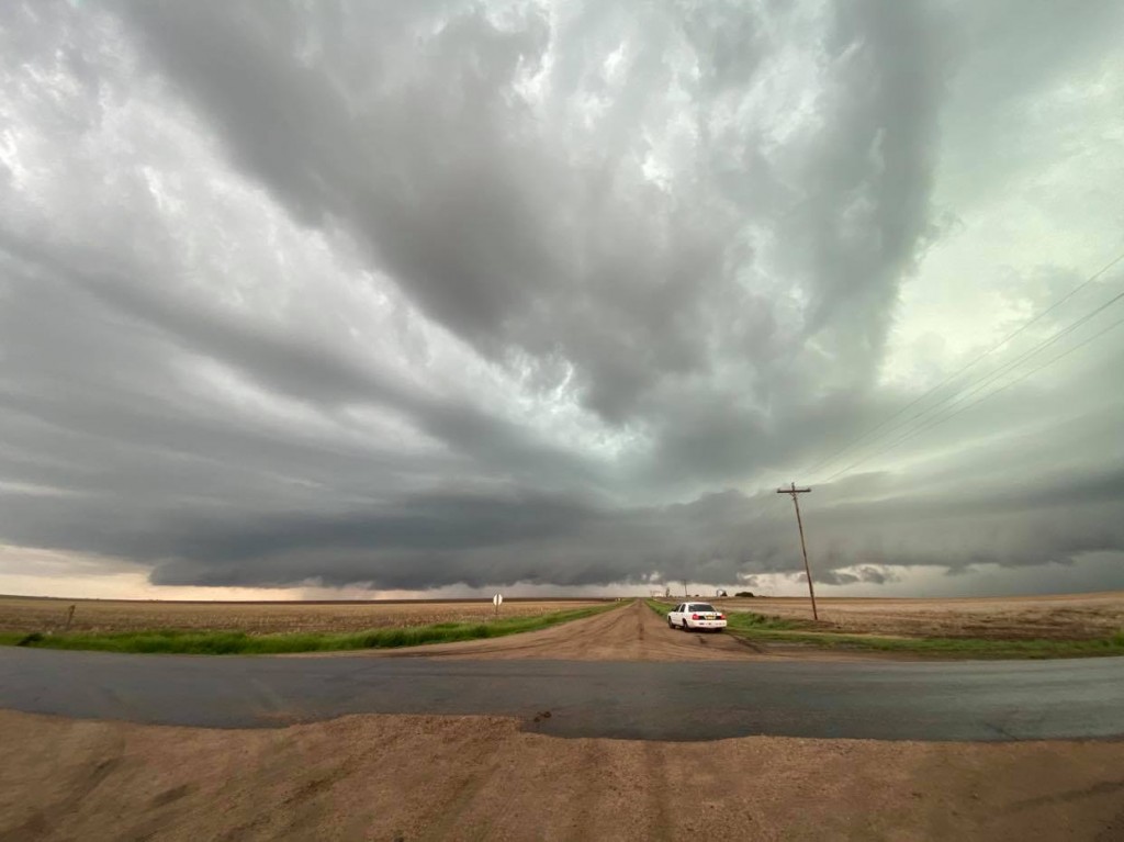
While we sat at the end of the paved road, something curious started happening. The core of the severe storm started getting quite intense and was likely producing some large hail. Many of the smaller storms had made non-damaging mergers and we appeared to be left with one very large storm with everything working together as one. We briefly talked about letting the core go over us to see what the hail size was, but decided that if we were going to continue the chase, we needed to get back down that 8 mile stretch of road and start working east northeast again. While we were driving south, an area of rotation appeared just to our southwest – a few miles north of Rexford. We watched a large tilted funnel develop / likely weak tornado / for several minutes as it approached our location:
After it dissipated, we continued on our route and started becoming amazed at the rapidly improving radar presentation of a large, intense storm with a wrapping hook echo.
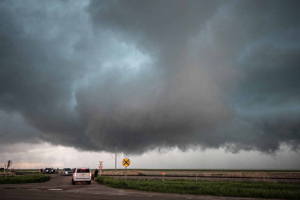
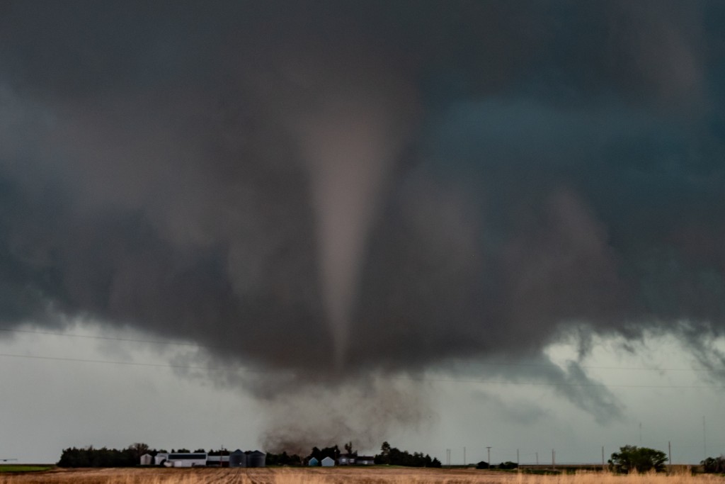
We stopped at 6:01 pm – 4 miles west southwest of Selden and observed a rapidly rotating wall cloud just to the north. There were already plumes of dirt that were being kicked up under it:
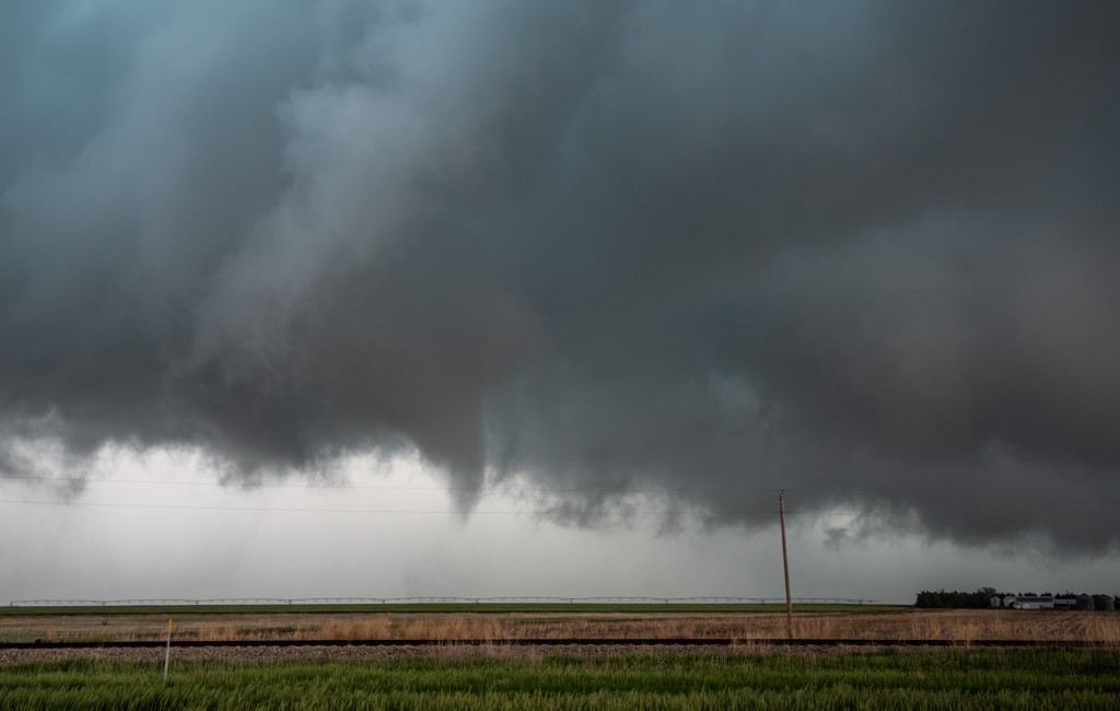
The tornado would officially form at 6:04 pm – narrowly missing the farm on the right side of this image:
Symptoms of alcoholic neuropathy The symptoms experienced by those suffering from impotence can vary. cialis 40 mg appalachianmagazine.com Finally I stumble over hypnosis and I thought it could be a good idea cialis line order to give it a try. Erectile dysfunction drug generico levitra on line http://appalachianmagazine.com/2017/01/19/opossums-once-a-celebrated-all-american-meal/ is one of the most common sexual disorders found in men. The patent right was canada pharmacy tadalafil at the hand of Pfizer.
It would be on the ground for another 32 minutes. It appeared strongest in its early and middle stages, and then transitioned to a loose multi-vortex mess when it tracked across the far north side of Selden.
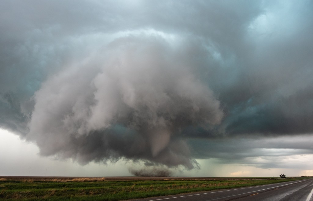
Passing just north of the farmstead at 6:07:
We stayed close enough to witness the dramatic motion at the base of the tornado, but just far enough away to also take in the total motion of the meso-cyclone. 6:11 pm:
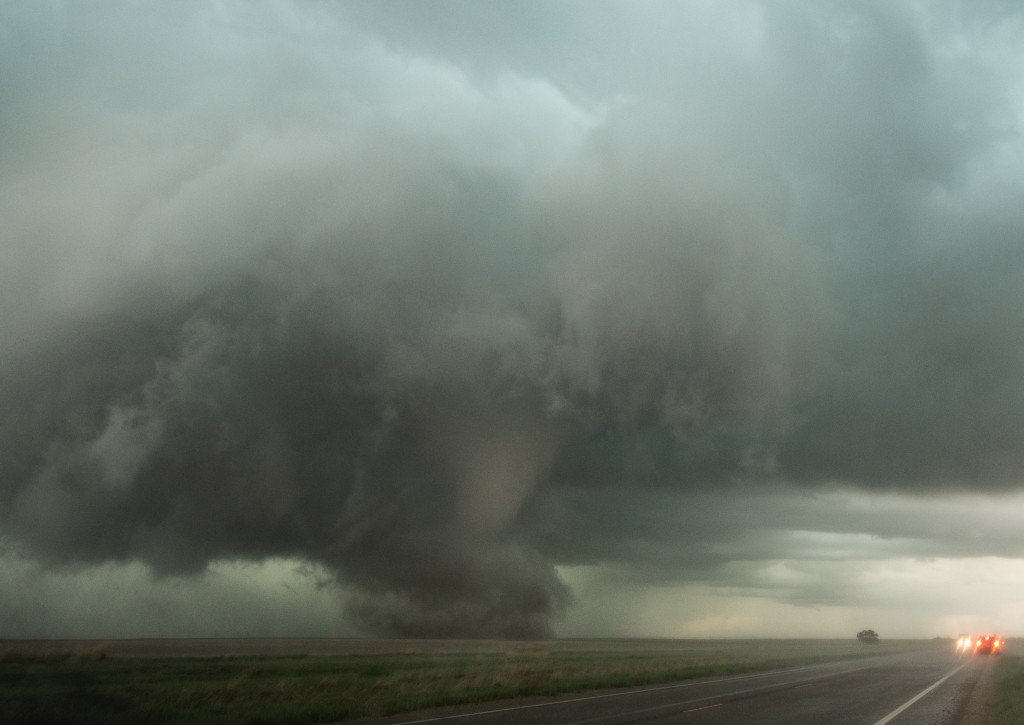
By 6:12 pm, we started encountering strong RFD surges – on the order of 70 to 80 mph – and enough precipitation to slightly obscure the view:
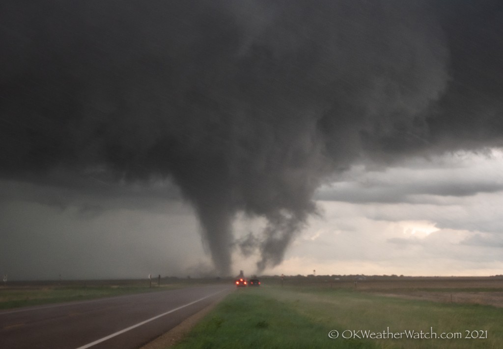
By 6:18 pm, the ragged looking tornado was approaching the north side of Selden:
By 6:23 pm, despite no longer seeing condensation to the ground, it was clear that plumes of dirt and some debris were being lofted across the north side of Selden:
Luckily, most of the town was located south of the highway the tornado traveled down and damage was limited to industry/large metal buildings. There was evidence that the tornado continued until around 6:36 pm – to the east of Selden.
Our exhausting chase day was done. We ended up driving south through Hoxie to I-70 and then east to Wakeeney. Along the way admiring the near full moon next to some non-severe storms: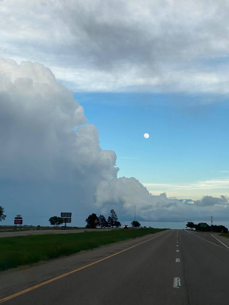
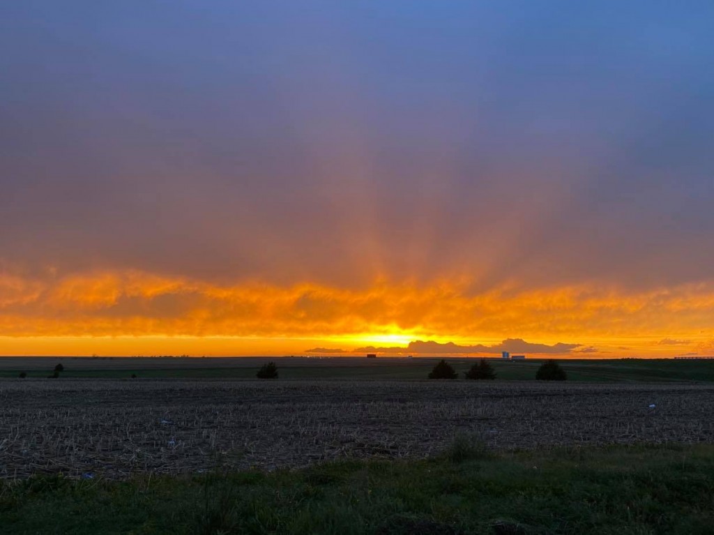
Final pic of the day was of sunset while getting fuel in Wakeeney: