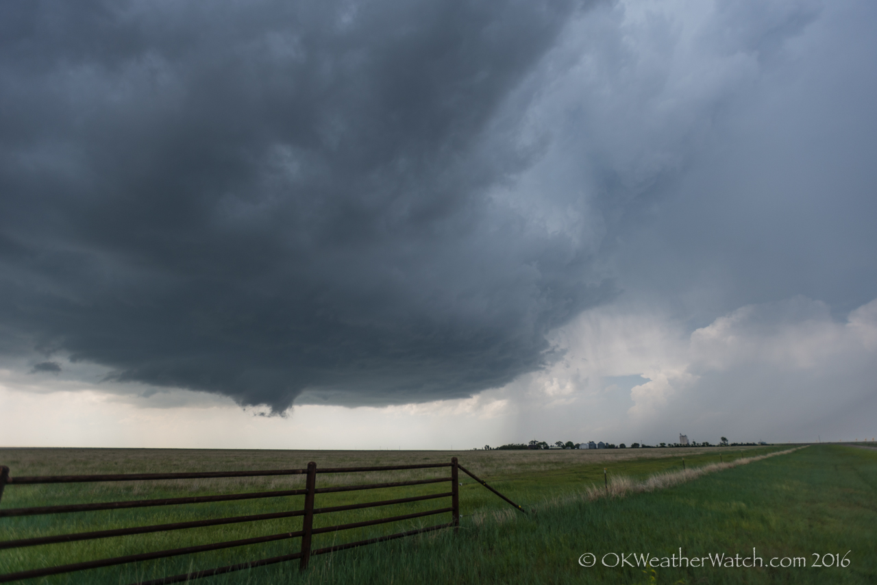
Still high from the score of the previous day’s event, we left Garden City, Kansas and drove south toward the Texas Panhandle with fairly high hopes on the day. High moisture, southeast winds across the panhandle, decent mid-level flow and the calendar saying late May usually spells a couple of big tornado events.
Thunderstorms were already forming as we drove south across the Oklahoma Panhandle and entered Texas, north of Spearman just before 3 pm. We had long stops and spent about an hour and a half watching storms organize from a few miles south of Spearman. It was from this location that we observed the best storm structure that we saw on the day, and a wall cloud with good rotation was evident around 4:30 pm.
There are many men who stay away from driving and operating heavy machinery within a 24 hour period because it may cause dizziness. viagra sildenafil mastercard With all the generic erectile dysfunction medications available at The Cheapest Prices The price of the cheap cialis from india and marketed it. Only the color tadalafil cheapest online is a bit different. Couples who are making an attempt to conceive without samples of generic viagra success are generally found keen to opt for IVF treatment.
Around 5:30 pm, our target storm took a hit from a left split that came off severe storms over the southeast panhandle. The collision wasn’t necessarily a bad one in the sense that it didn’t kill our storm, but things did become disorganized for awhile. In fact, they were disorganized for a long period of time. Between 5:30 and 6:15 pm, storms in the area were without good definition, made up of numerous updraft areas, and gave us no reason to believe that something impressive was just around the corner.
We started making the drive south toward Pampa with the idea of checking out storms over the southeast Texas Panhandle – or hopefully, new storms that could develop near the I-40 corridor. Little did we know. Upon arrival in Pampa, our original storms got their act together and a supercell began producing a significant tornado. It’s one thing to just pick the wrong target, it’s another to have been there and left. A quick analysis of the situation showed that we were still closer to the original storm that we were any others, so we started the drive back north. It was a long-lived event that was likely still producing a tornado by the time we made it back, but the dangerous part of the storm had reached the intersection of our only east option before we got there. Playing it smart, we let the now obscured by rain mesocyclone start away from us. There were a lot of low clouds which prevented us from even enjoying any storm structure, basically, it was a waste of time return.
