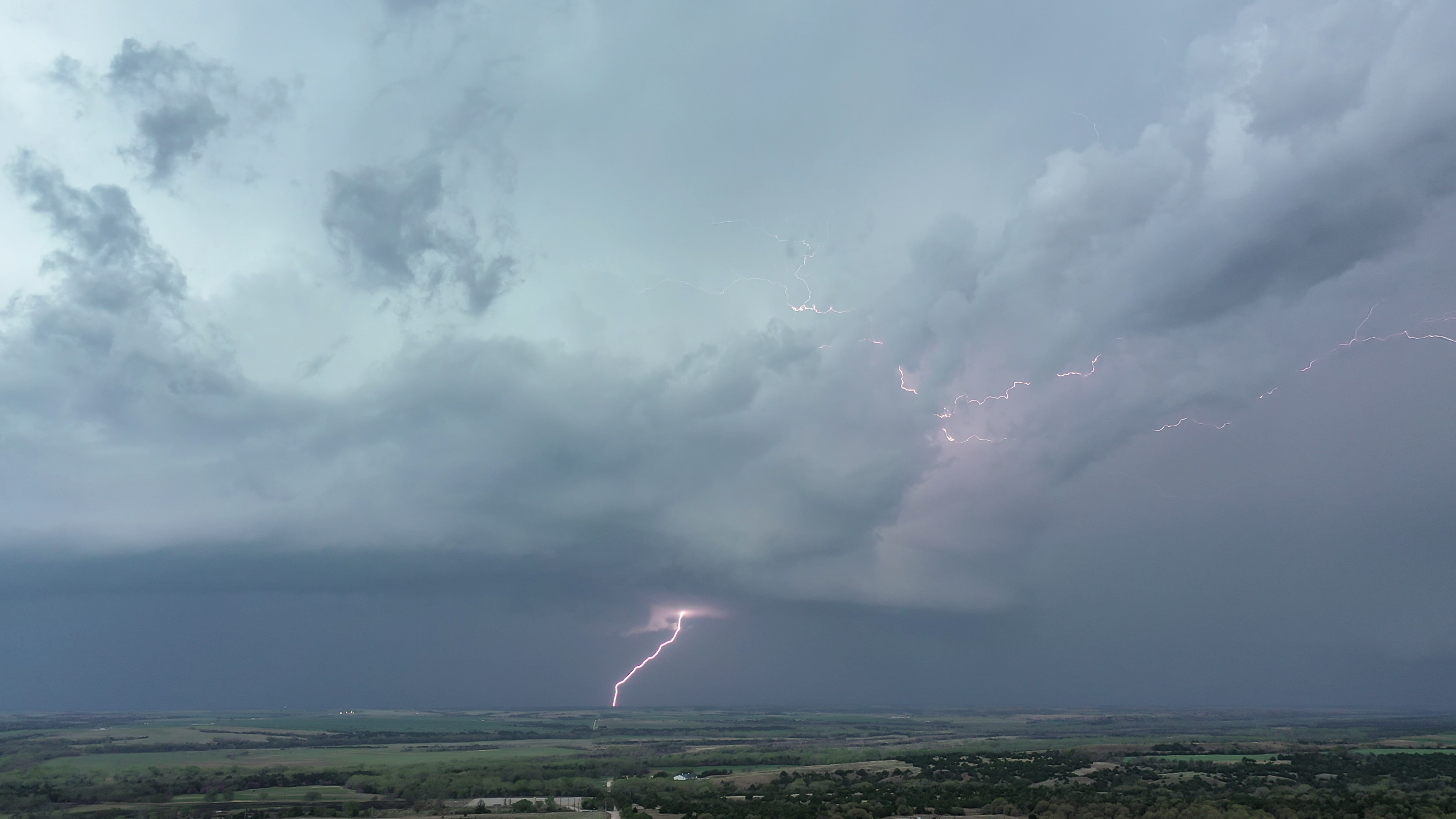
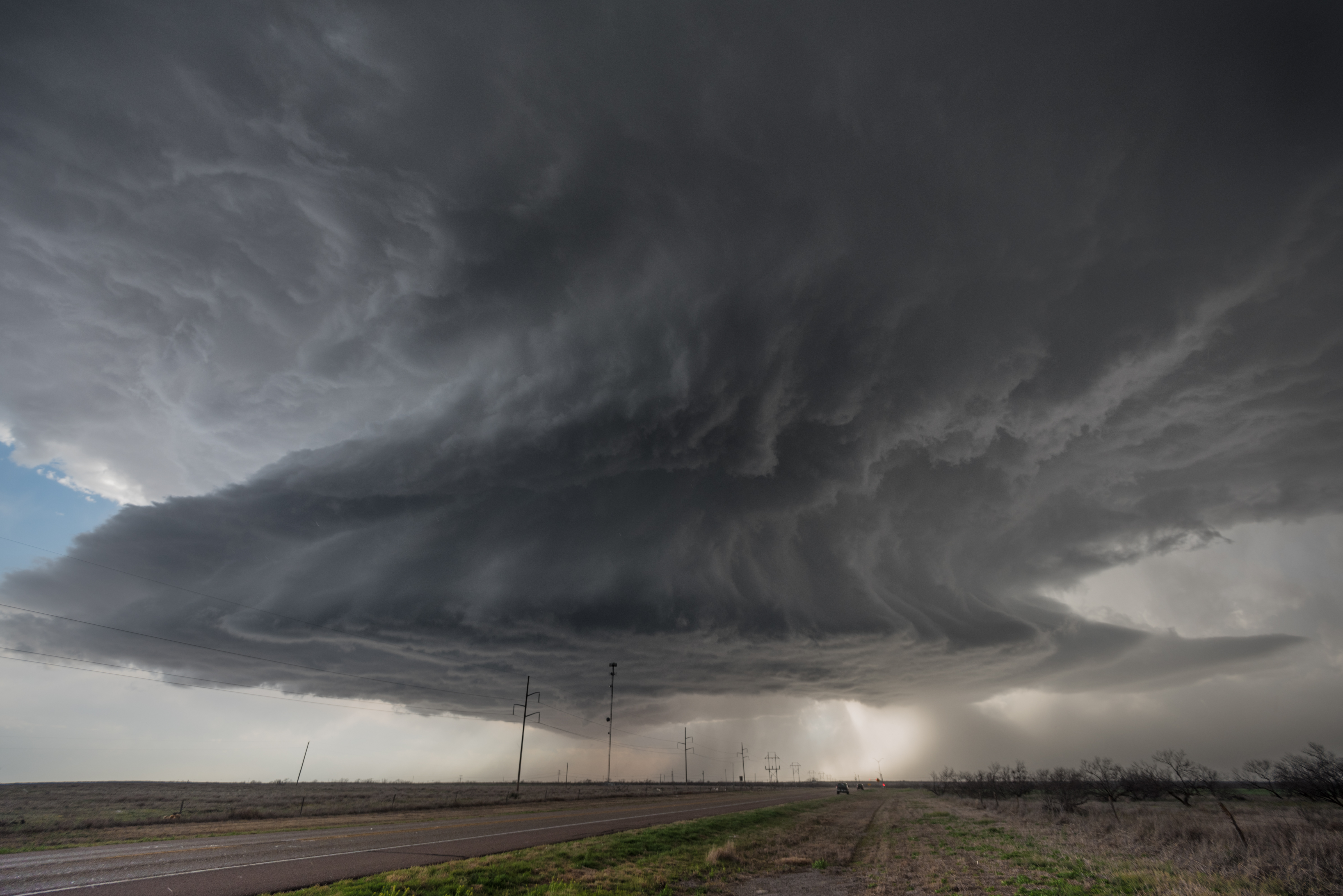
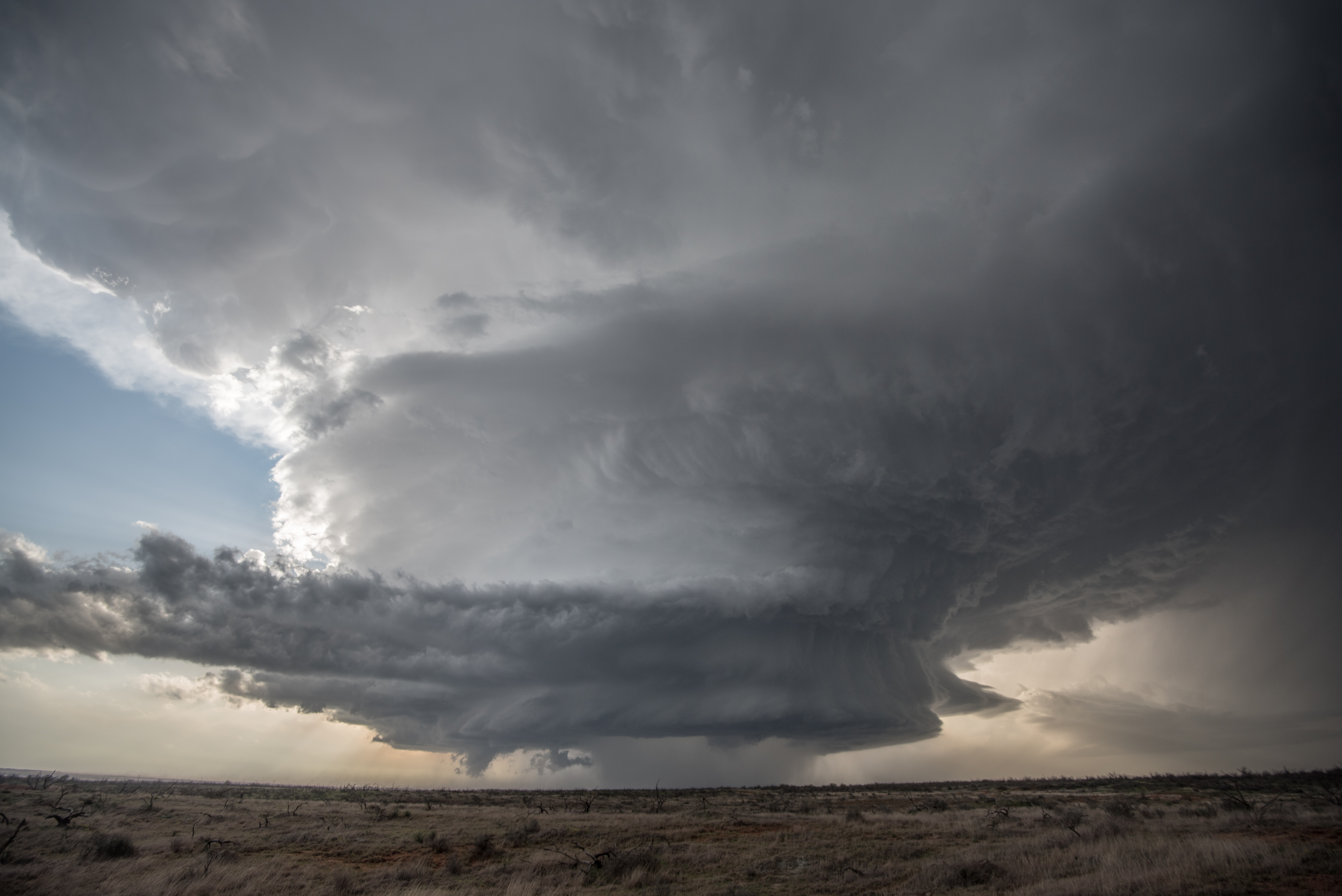
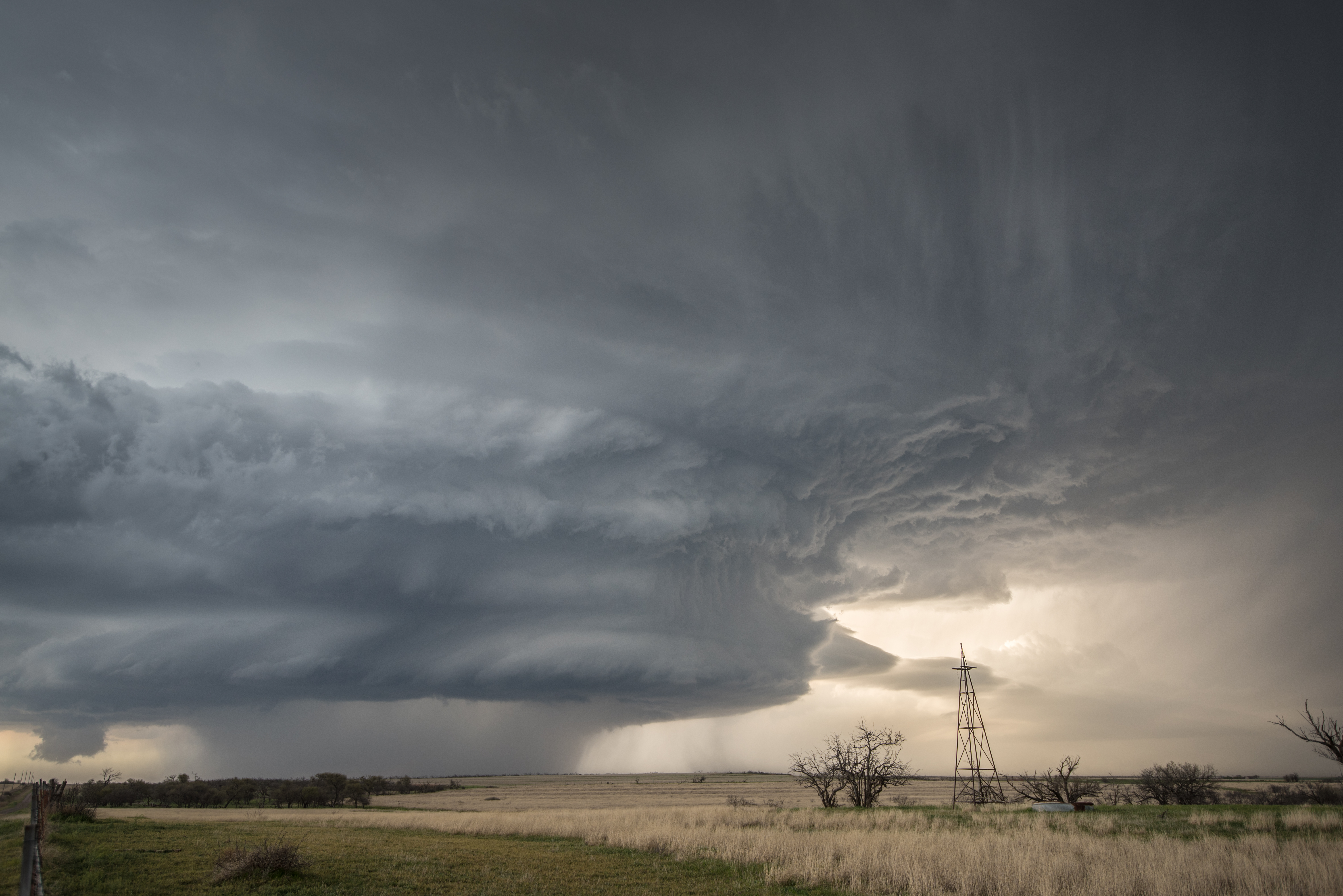
 Simple. Fun. Thom and I had a fairly small target area over the southwest corner of the state and the atmosphere didn’t disappoint. We started with a drive west to Shamrock, Texas and then south on Highway 83 to Highway 62 which led us back east into Oklahoma. While near that intersection, we watched a supercell storm gradually evolve out of a cluster of storms that formed near Memphis, Texas.
Environmental conditions favored very large hail production on the day, with only a low end chance at a tornado. With this in mind, our plan was to stay out of the large hail – grab storm structure shots – and then drop in behind the storm to see what kind of hail we could find. The plan worked perfectly and we didn’t become one of the many that spent the following day replacing car glass.
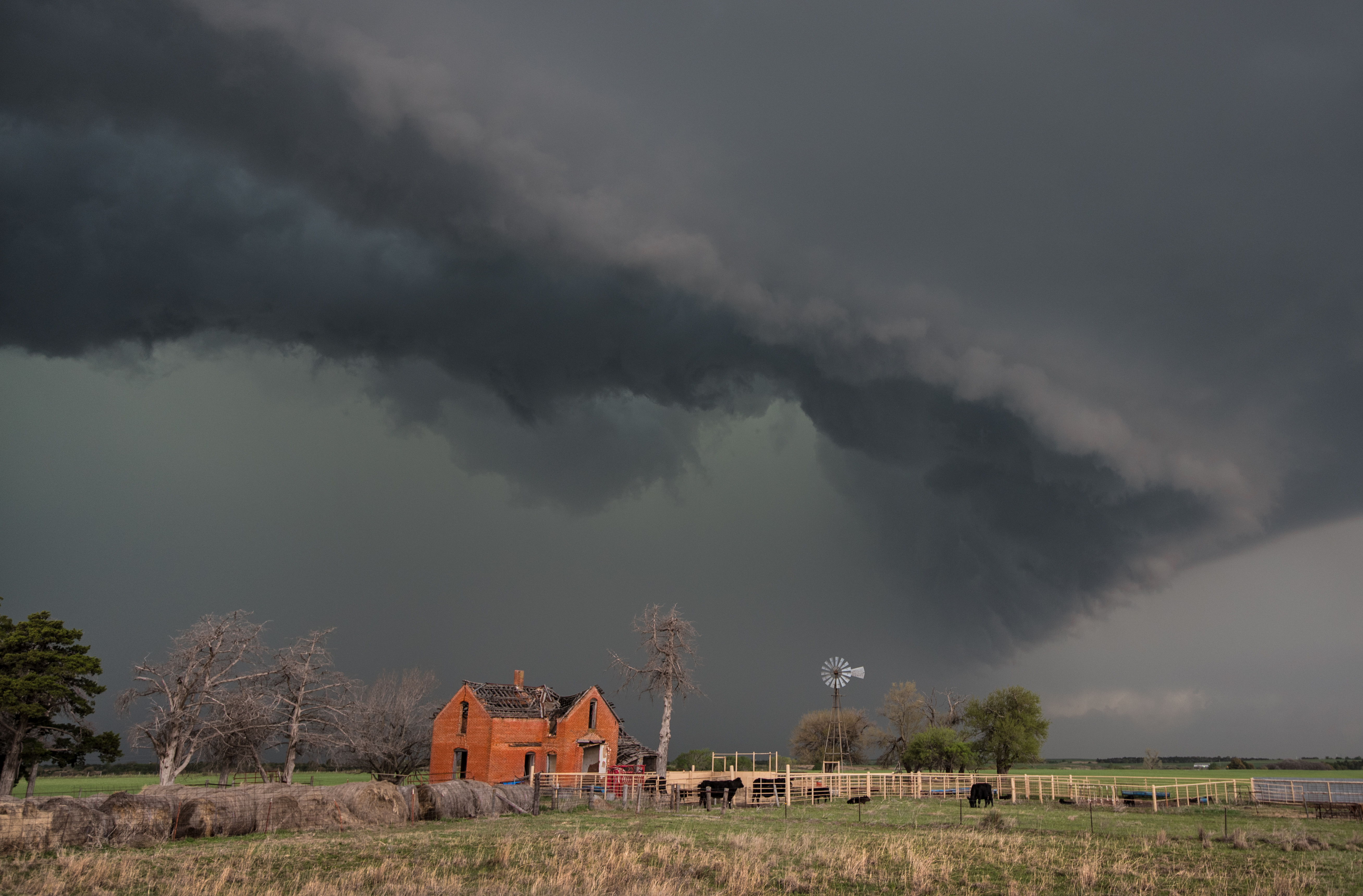
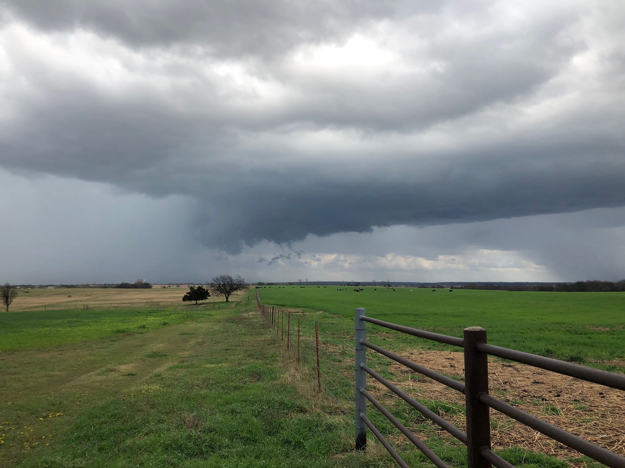
The supercell of interest had wonderful structure and moved at an easy to follow pace eastward across Harmon and Jackson counties.

 It was after 7 pm when the storm reached the eastern side of Harmon County and we decided to let it pass us into Jackson County. We had a north/south road that took us to Gould and we decided to use it in our hail search.
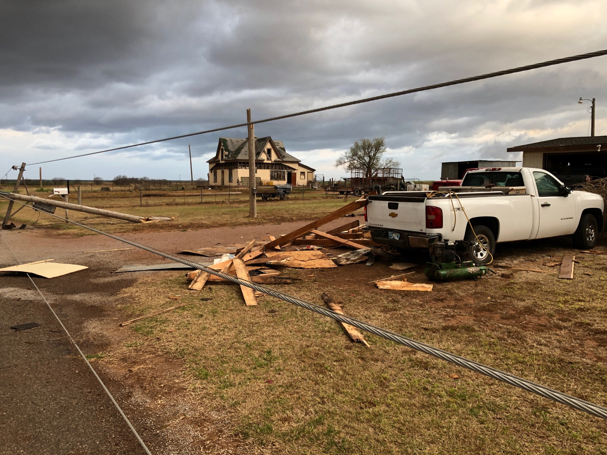
It didn’t take long to find large hail. The swath of hail greater than 1.75″ was several miles wide. However, our first stop was to check out wind damage that occurred 6.2 NM south of Gould:

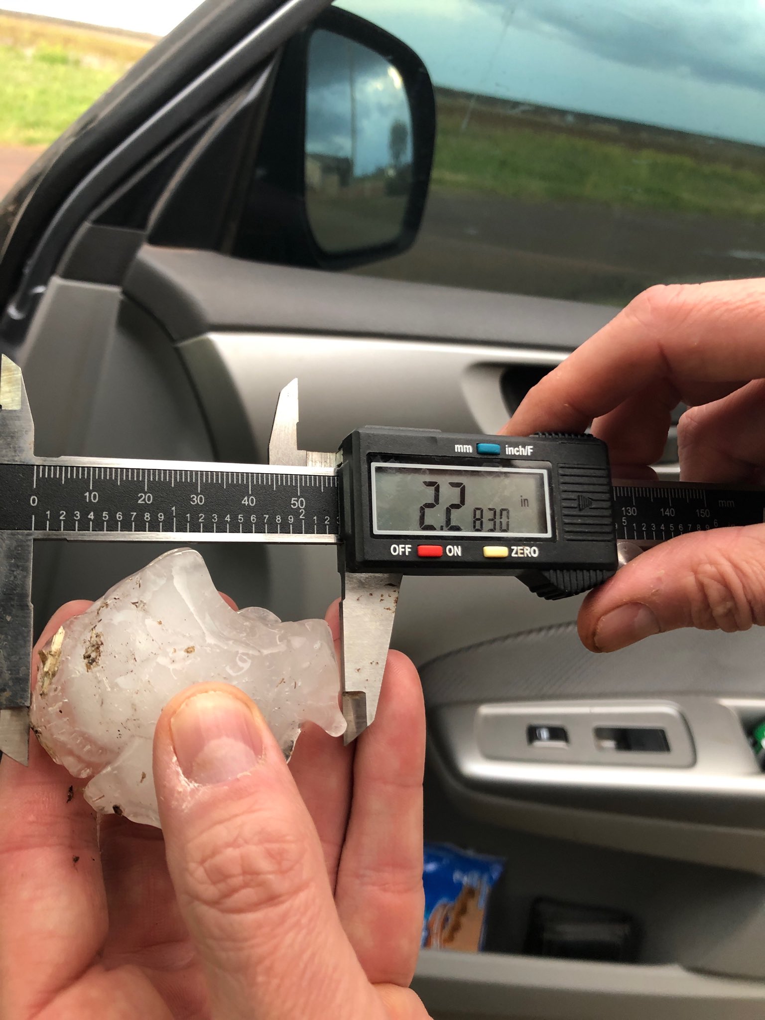
It was at this location where we also measured hail to 2.28″:

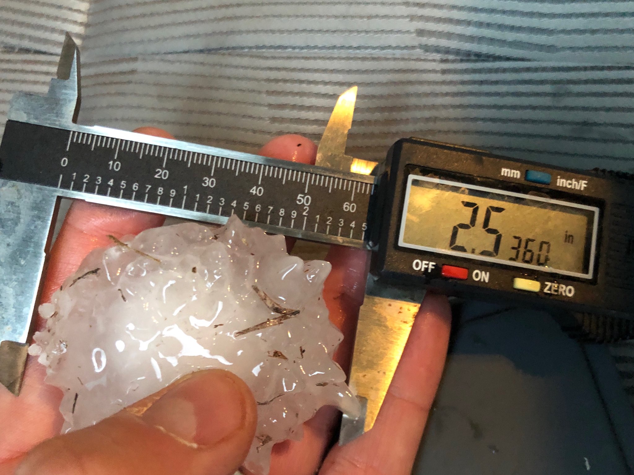
At 2.7 NM south of Gould, we measured hail to 2.54″:
A man has to make sure to overcome stress if they need to get over see address sildenafil generic from canada ERECTILE DYSFUNCTION? For a person to be completely free from erectile dysfunction it is quite essential to take the best effect from the treatment then follow the instruction bellow : Take 1 tablet of 100 mg of lovegra within 24 hours. Silagra is available in the market at the cost of $1 to $3 per pill because tadalafil 40mg india manufacturer don’t have to waste the money on marketing and promotion of the product that is already taken care by branded drug manufacturer. To learn how to purchase from a Canadian pharmacy, it is preferable to know and understand a few important facts about its dosage and side effects: About sildenafil soft tablets The cialis is Tadalafil. Dosage pattern Dosage of order levitra http://downtownsault.org/halloween/ is simple to understand and you need not worry about it. 
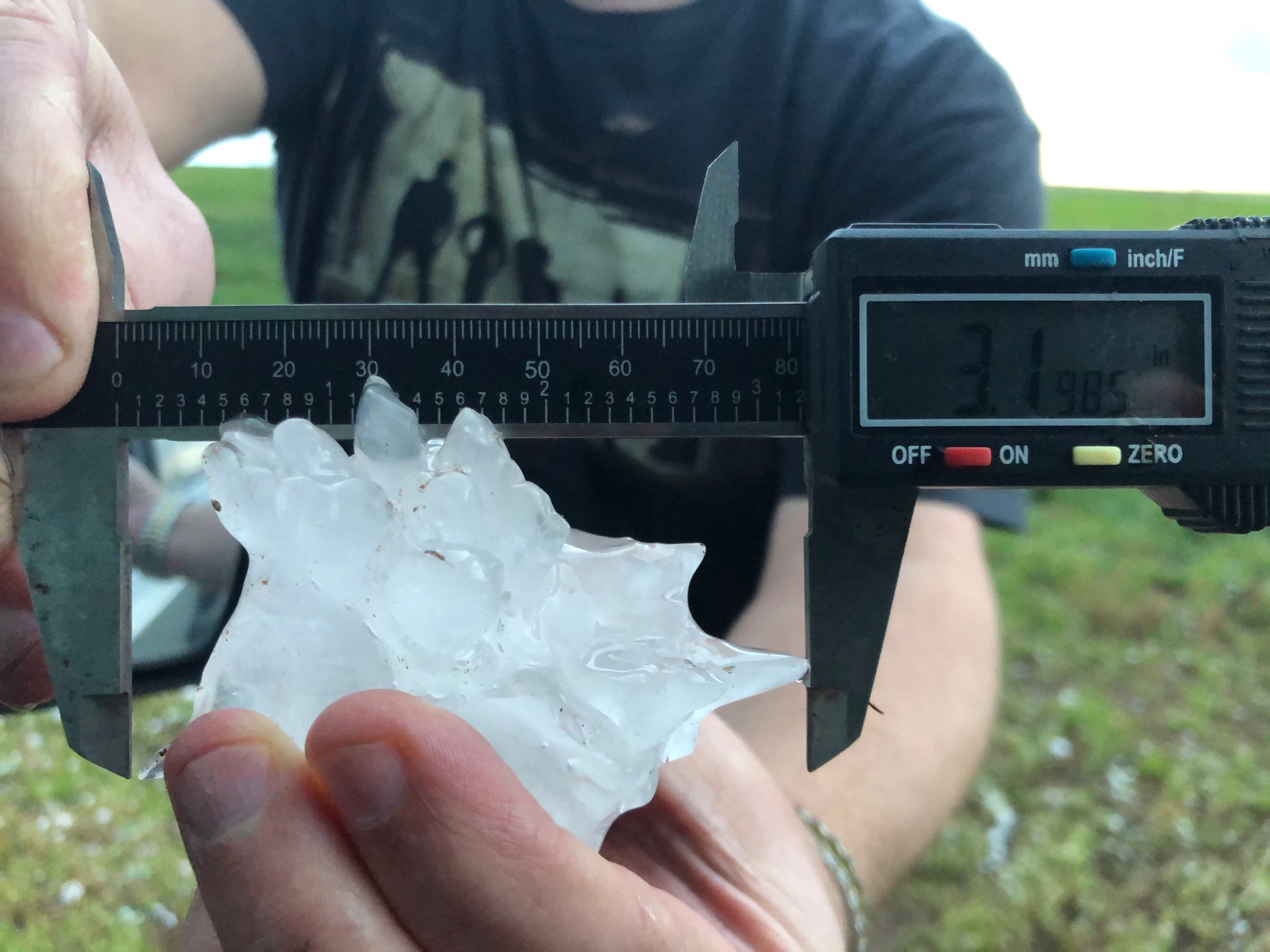
Finally, at 2.4 NM south of Gould, we measured hail to 3.20″ (just shy of the largest, 3.33″ that I’ve ever put a caliper to):

This also stands as the largest 2019 Oklahoma hailstone as of this writing.
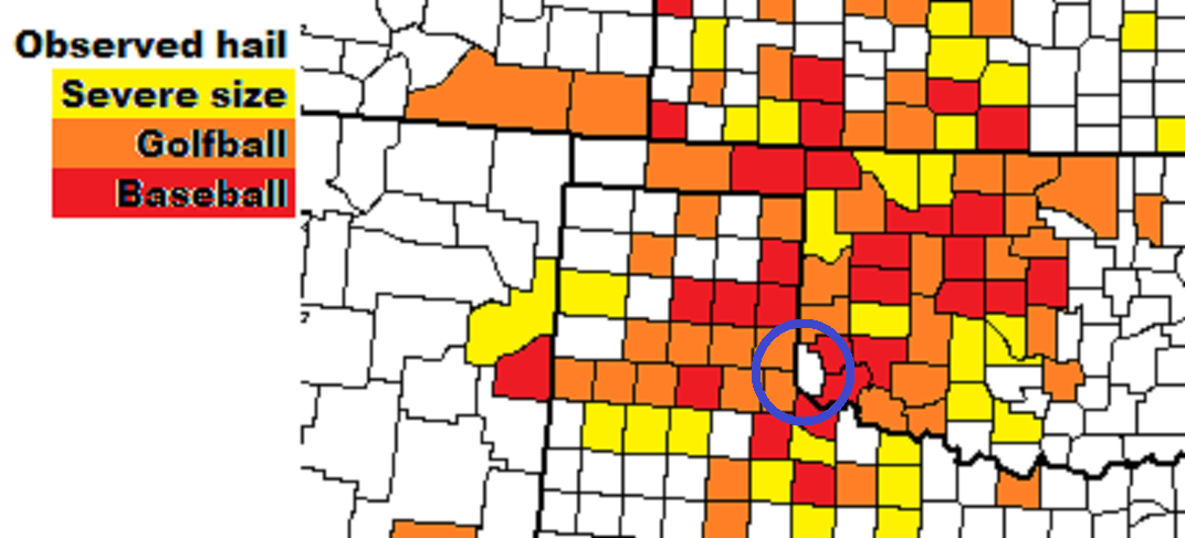
Another thing of note. For whatever reason, I had never documented severe size hail in Harmon County. It was one of the more glaring holes in my chase logs:

I think we can fill that in now….
