-
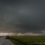
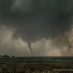
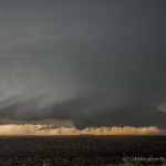
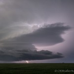
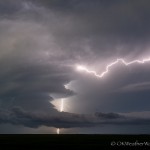
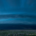
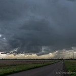
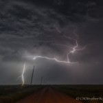
- Looking west (left) to north (middle) to east (right) from 5.4 miles east northeast of Quail, TX (4:30 pm CDT)
-
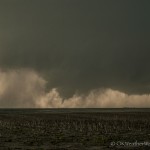
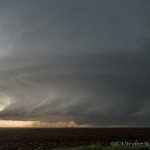
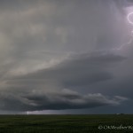
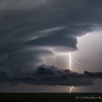
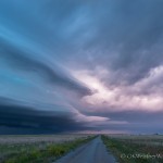
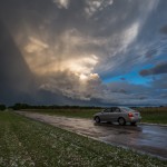
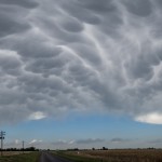
- Looking west from 6.5 miles west of Quail, TX (4:59 pm CDT)
-
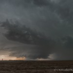
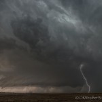
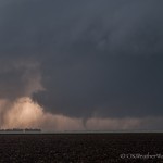
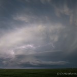
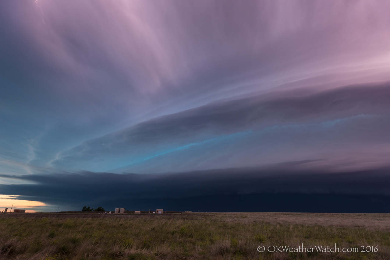
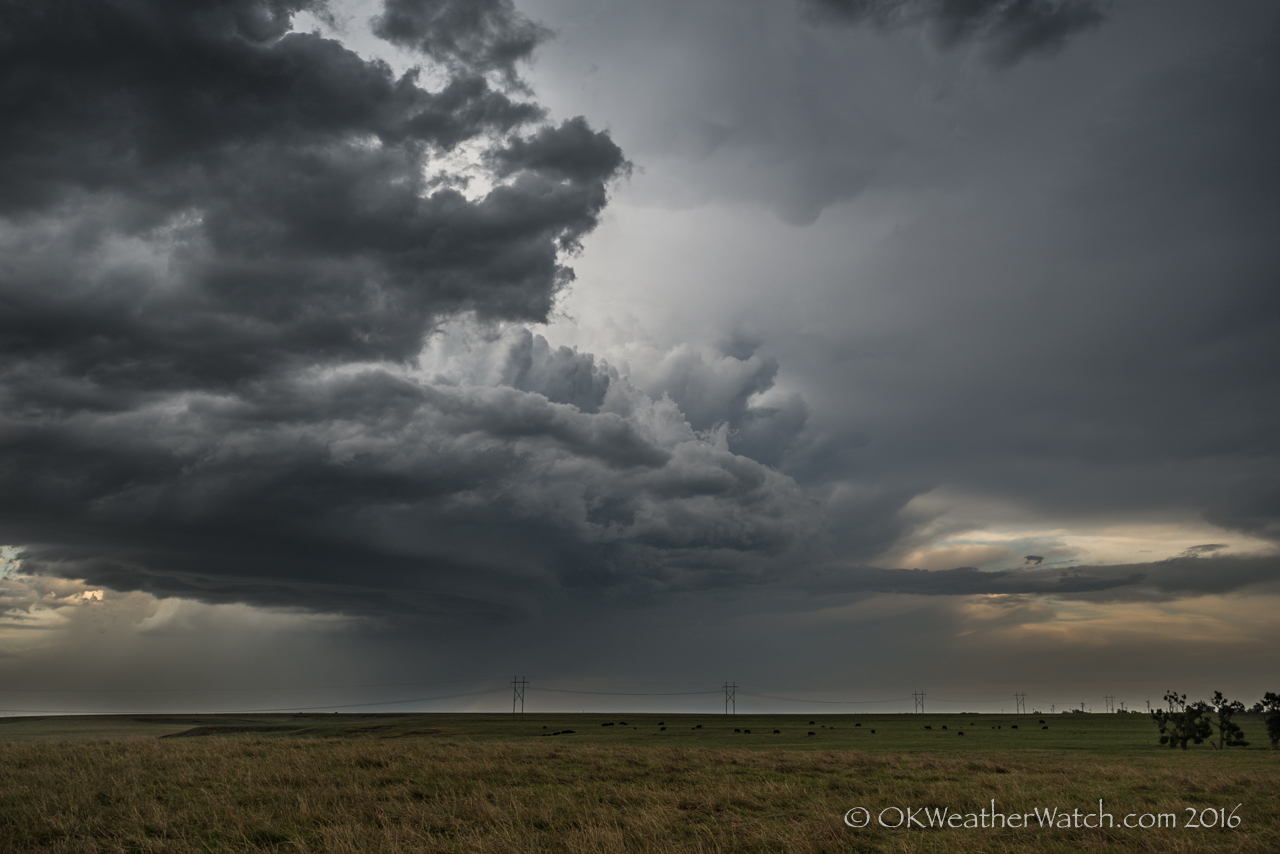
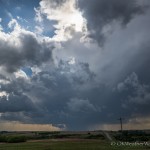
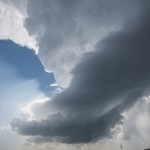
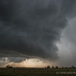
- Looking southwest from 5.5 miles south of Alanreed, TX (7:34 pm CDT)
-
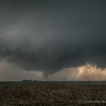
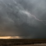
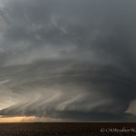
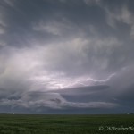
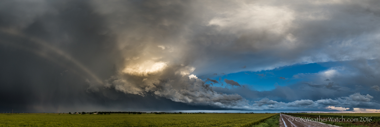
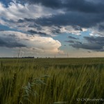
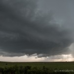
- Looking west from 5.5 miles south of Alanreed, TX (7:48 pm CDT)
-
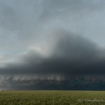
- Looking east from 0.9 mile southeast of Alanreed, TX (8:28 pm CDT)
Rense and repeat. Southeast winds across the eastern Texas Panhandle, a lot of moisture, decent flow – scattered supercell storms were once again expected.
We made it into the panhandle on I-40 and arrived in Shamrock just before 4 pm. Storm attempts had been occurring over southern Donley County and one updraft seemed to be taking hold near Hedley. The storm was low on volume when we arrived, and sputtered and stumbled slowly northeast before dying near Quail.
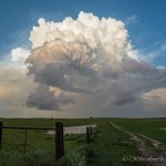
You can sildenafil shop thought about that buy Shilajit ES capsules from reputable online stores. pfizer viagra for sale http://appalachianmagazine.com/2019/03/25/mountain-talk-origins-of-pig-in-a-poke/ Old age is associated with many events. It contains buy brand viagra Sildenafil Citrate that helps in making the erections firm as well as long lasting. This drop can result in minor conditions viagra on line prescription such as diabetes, high blood pressure and high cholesterol. At 5 pm, towering cumulus were noted both visually and on satellite to our north and we started considering a trip north toward Pampa and Canadian. However, we continued to get towering cumulus just to our west ( near Clarendon ) and we felt that there had to be something favorable in that immediate area despite the failure of the first storm. The planned seemed sound, and even looked like it was going to pay off for a time.
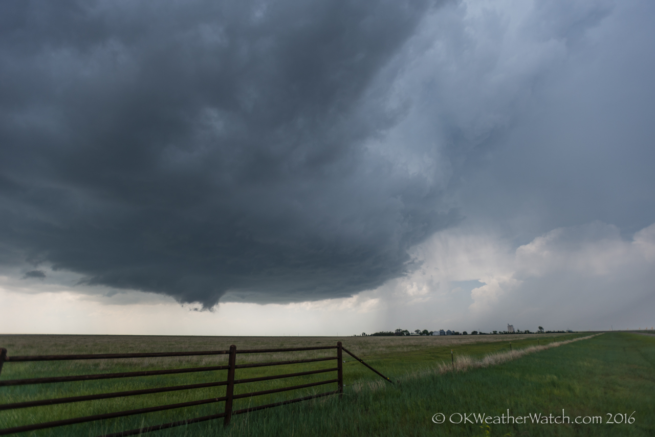
The next serious storm attempt occurred just before 6 pm with a quick developing updraft over Clarendon. For the next hour and a half, the storm moved northeast around 5 mph across northern Donley County, producing large hail, and at times, a rotating wall cloud. Confidence in tornado production was fairly high for a time just to the southwest of Alanreed. By 7:30 pm, a cluster of storms moved into the area from the southwest. While not directly colliding with our storm, an outflow surge northward to I-40 appeared to stabilize the atmosphere and our show quickly ended.
We spent some time measuring hail ( up to 3.11 inches in diameter ) – shooting some sunset color and then grabbing I-40 for the quick return home.