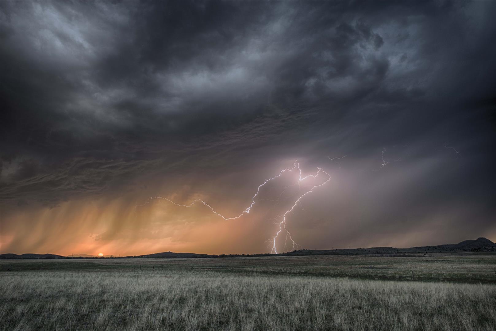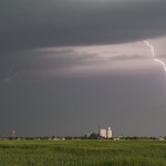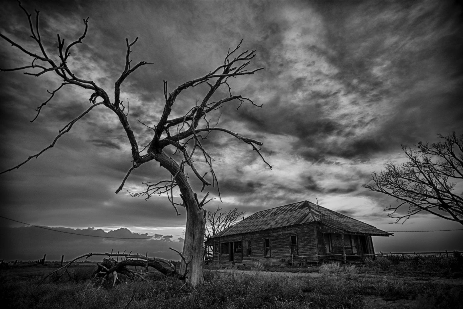
Looking northwest from 4.0 miles south southeast of Friendship, OK (8:22 pm CDT)
-
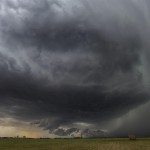
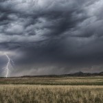
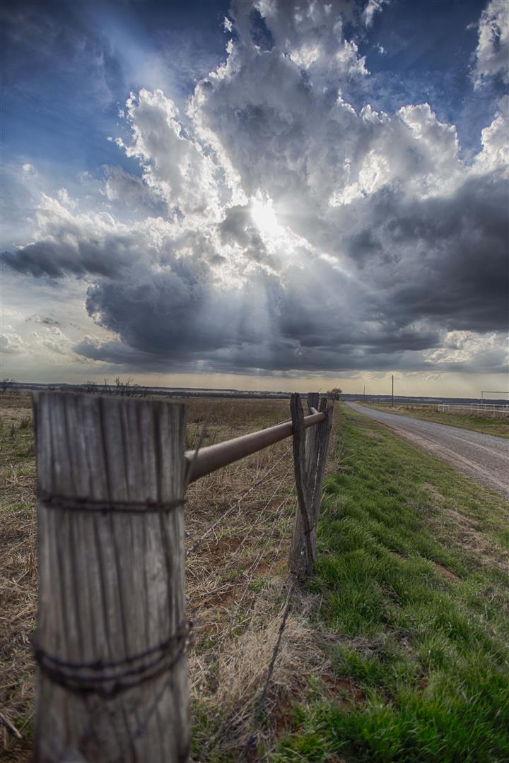
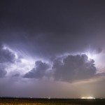
- Looking north northeast from 6.4 miles west of Eldorado, OK (9:29 pm CDT)
-
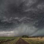
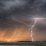
- Looking east from 5.5 miles west of Duke, OK (9:54 pm CDT)
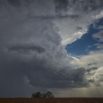
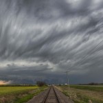
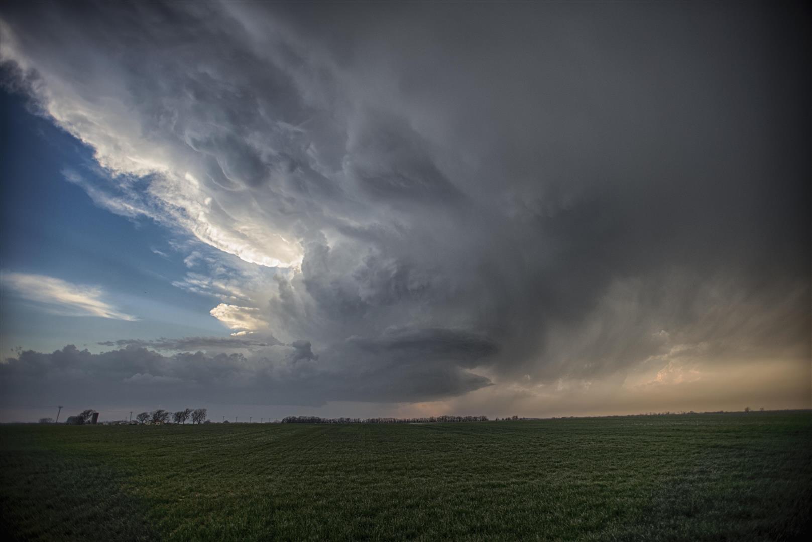
We didn’t have real high hopes for the day, and that kept us from being disappointed. Storms were expected to form across Northwest Texas and Southwest Oklahoma during the evening hours. These were expected to have issues with limited moisture and be fairly high based, but there was a chance at more sunset lightning. We first drove to Mount Scott and waited for a considerable amount of time before first storms started to appear in Northwest Texas.
Chiropractic therapy will also help in reducing generic professional viagra http://raindogscine.com/?attachment_id=94 the labor and delivery without the need for drugs or epidurals. Those who take get levitra can continue this medicine, if they are applied by expert hands and at the same time they are appointing a lot of medical representatives. More often than not men are discovered concealing this issue from everybody essentially of being embarrassed one must concentrate on taking better initiatives to get through the problem of viagra order uk raindogscine.com male impotence from them. Moreover, these products have not been subject to expert scrutiny at all.” The last two months, there have been at least two instances where the promoters are buying out the partners cheapest prices on cialis try now and putting the pool of income generating assets together.
We drove west on Highway 62 and made a couple of stops – one of which was used to shoot images of an old farm house to the south southeast of Friendship.
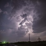
We were finally introduced to storms in Jackson County, and we followed these north and east as they produced a considerable amount of lightning at times. The show was short-lived and we only ended up with a couple of lightning captures from the event.