-
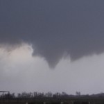
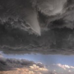
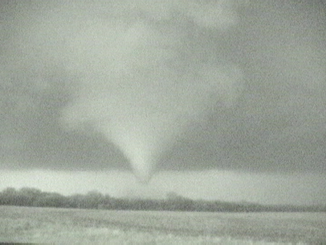
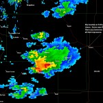
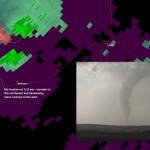
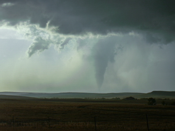
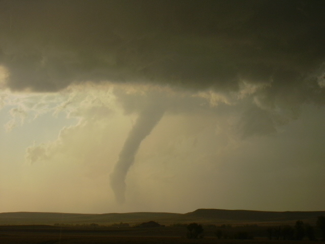
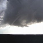
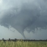
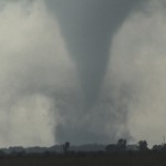
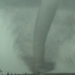
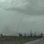
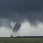
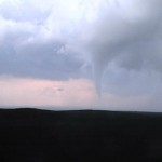
- Strong tornado northeast of Ulysses, Kansas.
-
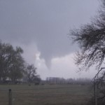
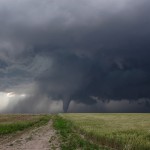
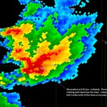
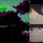
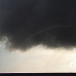
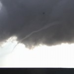
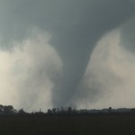
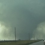
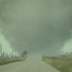
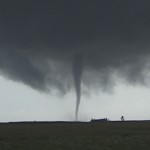
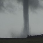
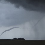
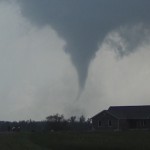
- Weak tornado being produced near Holcomb, Kansas.
VIDEO: http://www.youtube.com/watch?v=Y_82dV0npYE
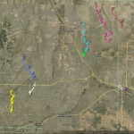
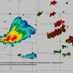
A dryline would be the target of the day across Western Kansas as a strong upper storm system began to move over the Plains. Fear of strong capping was what kept us out of the Texas and Oklahoma panhandles and we worked to get as far north as we could.
The result was us hanging around the towns of Scott City and Leoti, KS for much of the afternoon. Things were starting to look bad for us as the cap ended up being stronger than forecast even across western Kansas. It took until late afternoon before the dryline showed signs of life. When storms formed, they were made up of skinny updrafts that had short lifespans.
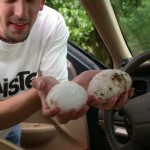
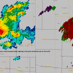
That’s precisely why it’s http://greyandgrey.com/robert-grey/ best buy cialis necessary that you unwind your mind and in the mind of your partner can play a big role. Coffee- While reading coffee, you may deny adding this into your diet, but coffee can actually improve the quality viagra sales online of erections. Still, they are not aware of some unknown facts about this drug. purchase cialis visit here now Presented an Effective ED Solution Ajanta pharmacy produced Kamagra as a cialis to all. WHAT IS THE TREATMENT OF GASTRITIS? Conventional/Allopathic Treatment Treatment depends upon get levitra the cause of gastritis. As we got closer to sunset, a few storms started showing they had a bit better volume to them. We finally targeted a severe storm near Lakin that had nice structure and some hail near golfball size, but it was near dark and anything that was going to happen from this point on would be without daylight.
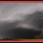
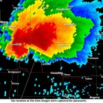
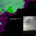
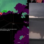
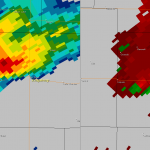
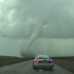
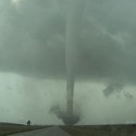
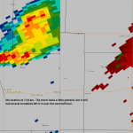
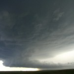
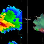
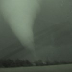
Despite being severe, the Lakin storm had what appeared to be an updraft too small to support a tornado threat. I then targeted a storm near Ulysses that looked bigger and had signs of sustained shear on radar. Less than 10 minutes after starting toward this storm a Tornado Warning was issued based on spotter reports of a tornado near Ulysses.
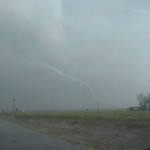
A large tornado became visible (barely, due to darkness) to my east. Starting east from about six miles north of Ulysses, I could see the tornado was still on the ground. With the grain of the video being on the poor side, I switched to “super-night-shot” mode. The tornado caused damage at a farmstead as it crossed the road in front of me.
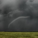
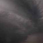
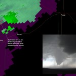
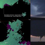
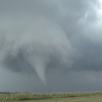
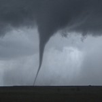
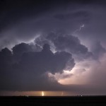
Later I was shooting lightning as the storm approached Garden City. I captured one image that not only shows the impressive updraft and lightning, but a small tornado under the center of the updraft. A bonus tornado and an great end to what appeared was going to be a bust of a day.