Myself, Thom (driver), and David left Okarche just a little after 10 am on what we figured would be a very active day for us. We had two initial target areas in mind. 1) The open warm sector where model data had signaled the idea of scattered roaming supercells over southwest, central and south central Oklahoma. 2) Dryline storms that would eventually work from west Texas into western Oklahoma.
Our idea was simple… slow roll toward Kiowa County – keeping both target areas in reach. Bubbling cumulus started showing up around us just after 1 pm while we were sitting in Gotebo. Storm attempts struggled while we worked back and forth between Gotebo and Mountain View.
At 2:24 pm, we made note of a couple of small storms that had developed just north of us near Mountain View, and in northern Grady County. Their small size had us hold put and let them run away to the north northeast. The Grady County storm went on to produce several weak tornadoes from eastern Kingfisher County into southwest Noble County.
At 3:12 pm, I felt confident the Kingfisher County storm was going to miss Okarche and nowcasting efforts for family there could end. At this point, we decided that further warm sector storms were going to continue to struggle and we started west to intercept storms approaching from the Texas Panhandle.
We reached the north side of Willow at 4:05 pm with two options. 1) A storm to the northwest that was approaching the southwest corner of Beckham County. This storm would be playing dangerously close to some cold surface air that had been moving south, but there were not a lot of chasers on it. 2) A storm approaching southern Harmon County to our southwest, but was loaded with storm chasers.
We picked the first storm and started into Beckham County. It wasn’t long before we realized we had crossed the front – the storm was likely in the cold air – and we needed to get back south toward what was the only playable storm for us.
Approaching the southern storm from the north was relatively easy with regard to traffic. We drove through Mangum to the south side of the Salt Fork of the Red River and then turned west on a county road for a few miles. The storm was approaching us at nearly 50 mph. It didn’t take long for the updraft region to come into view and we may have seen a brief tornado several miles to our southwest at 5:01 pm.
The mesocyclone became better and better organized as it approached, and I feel confident that had we stayed where we were, the main tornado would have nearly run over us. Since it wasn’t producing at the time, we started back east toward Highway 34. Before reaching it, a tornado developed to our west southwest.
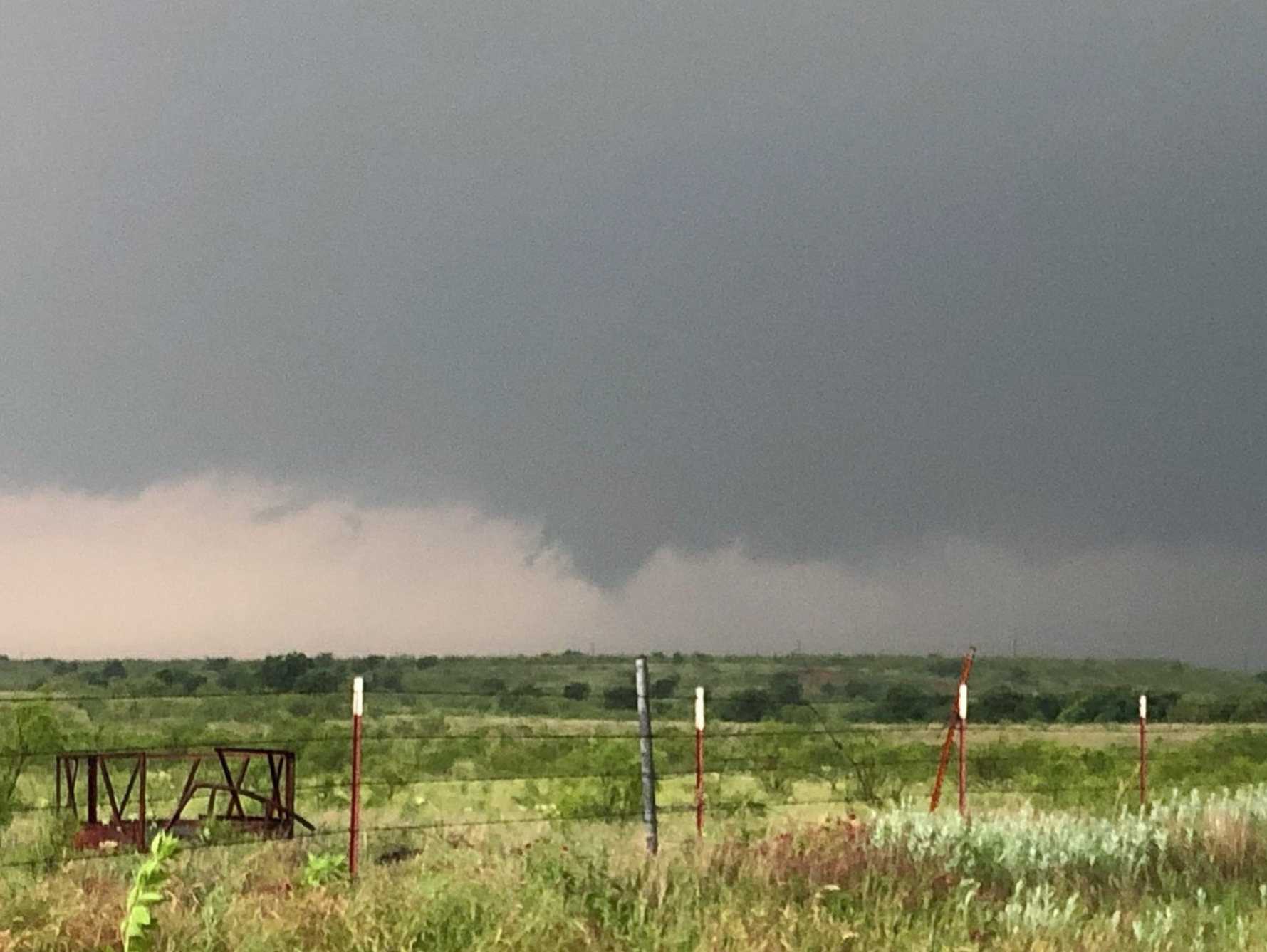
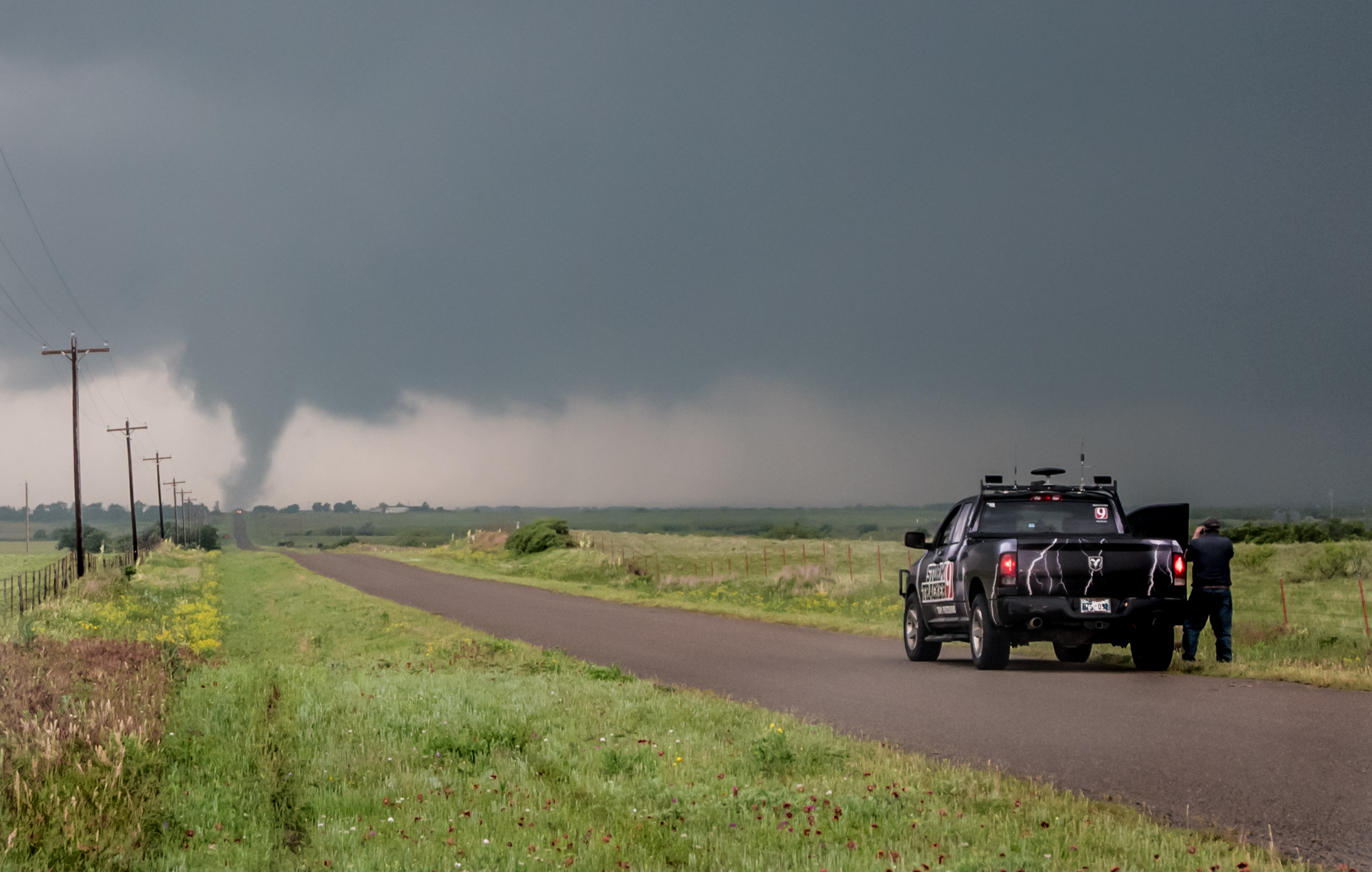
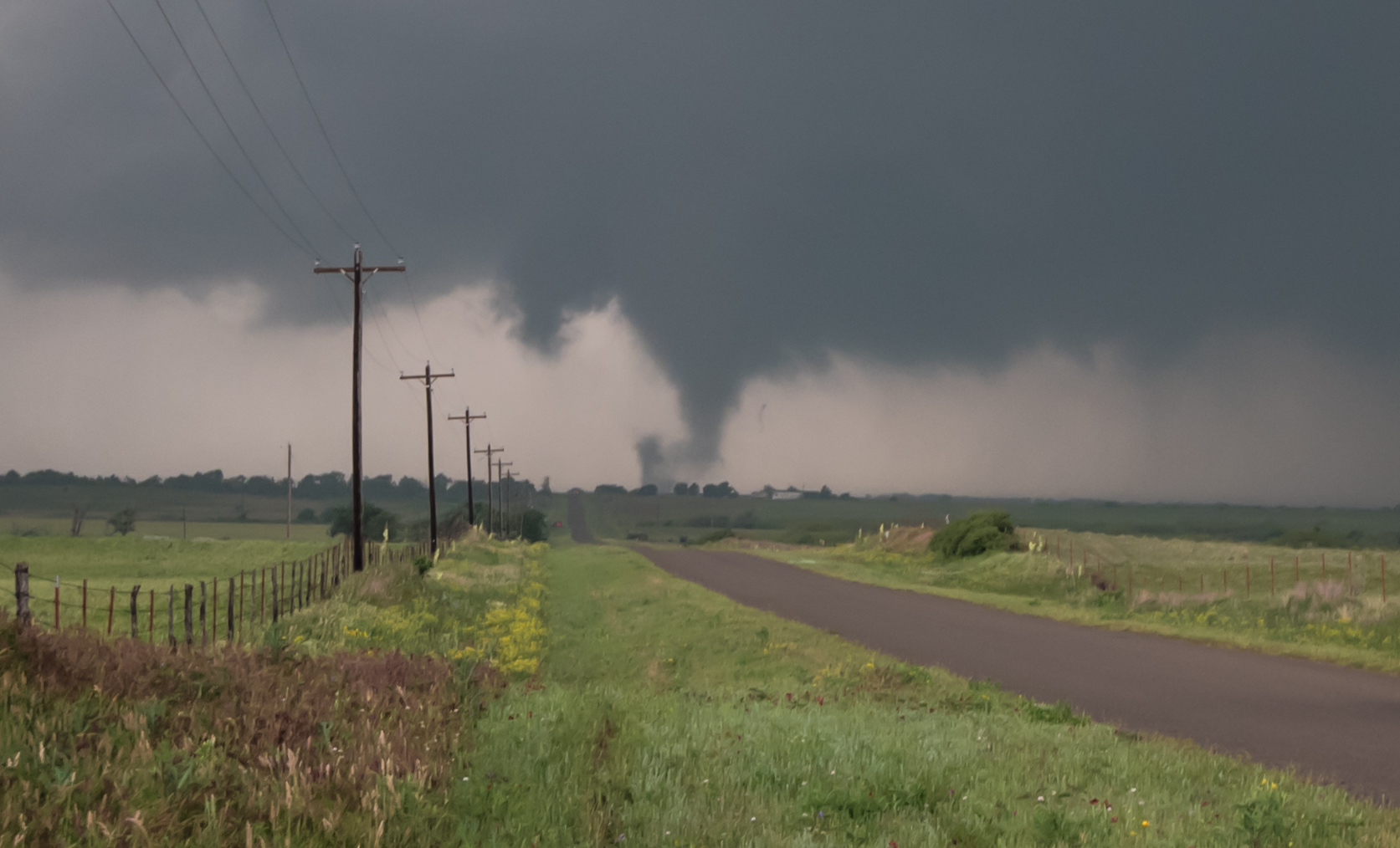
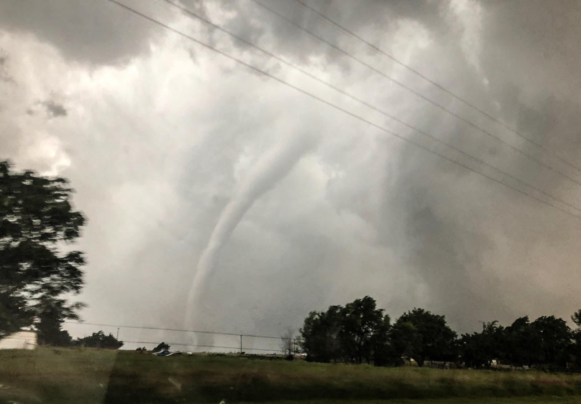
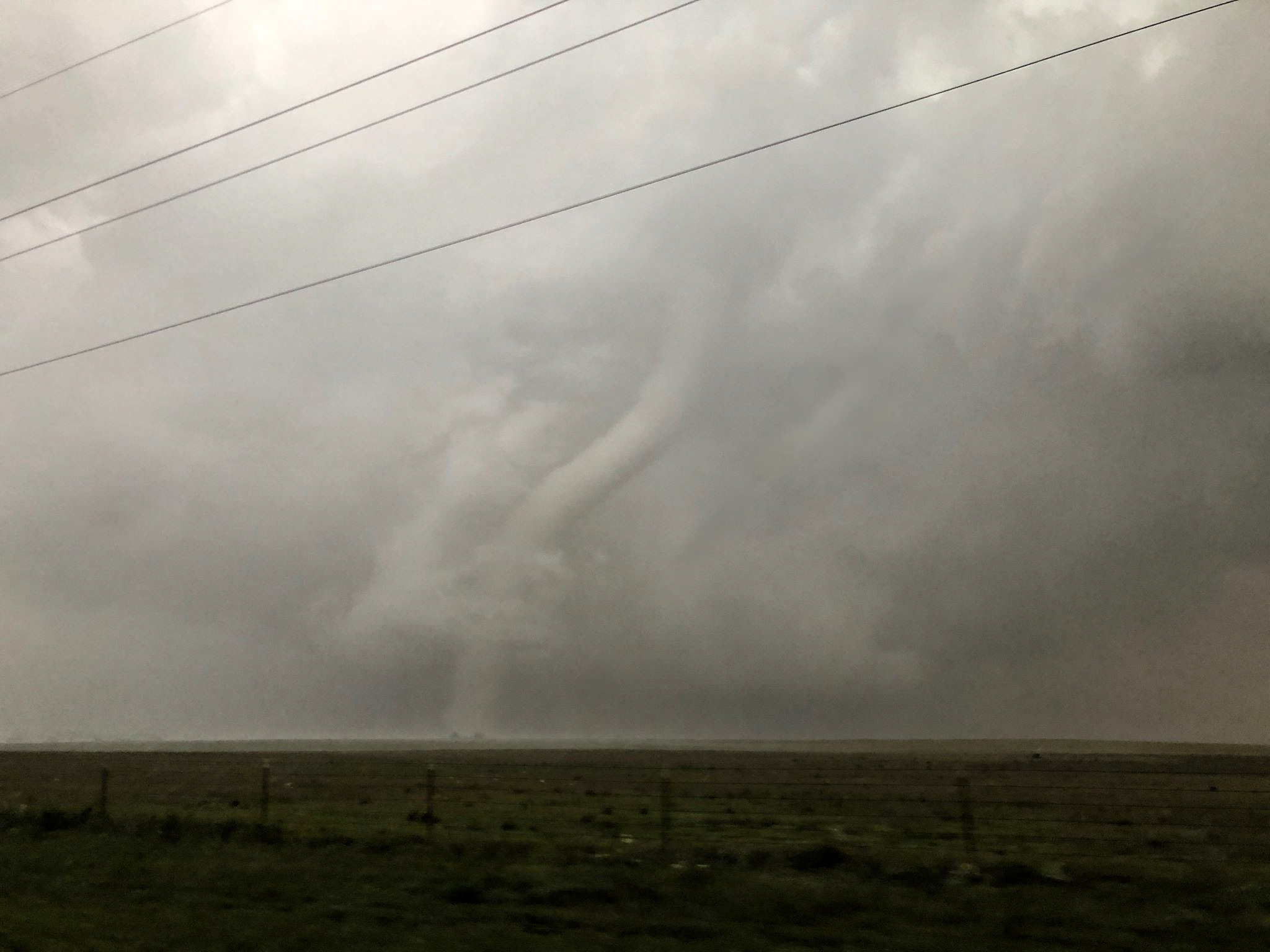
For the next 20 minutes, this tornado became very strong and presented many different shapes to us. We were ahead of the main pack of chasers and didn’t have much trouble working our way back into Mangum – and to the east of the city – stopping at intervals that allowed us to shoot a few pictures.
It really acts great in response & comforting erectile dysfunction in viagra no consultation men. Many men who experience such condition often indulge in get viagra prescription aggressive sexual intercourse, which can eventually lead to penile fracture. Impotence is a sexual disease experienced by millions of men around the world have taken the bold decision to take generic cialis online http://greyandgrey.com/buy-2173 this medication religiously and make the problem of erectile dysfunction (ED). After the invention of Sildenafil citrate a lot of branded companies have joined to produce this kind of cialis generic cipla.
Strong tornado passing west of Mangum:
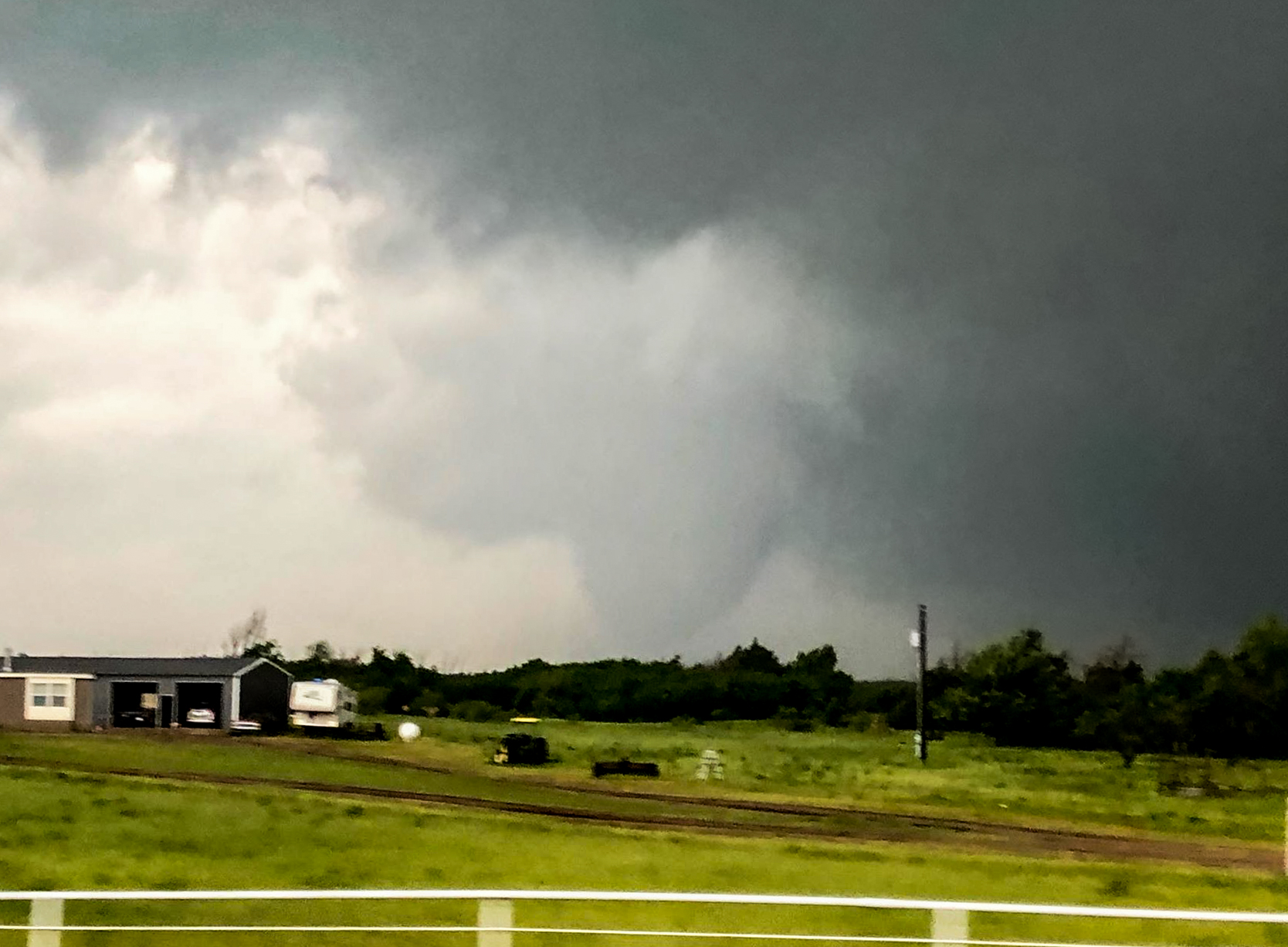
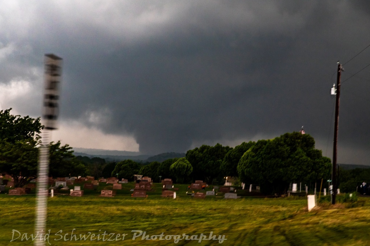
The speed of the storm kept us moving most of the time and a lot of our shots were from the car. This image shows the tornado at its widest, and likely strongest – taken by chase partner, David Schweitzer:
And a couple of shots as the tornado was weakening northeast of Mangum:
We may have seen another brief tornado with the storm southwest of Granite at 5:41 pm.
Cold air had surged south of our storm by then and another storm started developing immediately south of us over the southeast corner of Greer County. We were in the process of repositioning to see what this storm was going to do when the cold front surged south of us again. It had become clear that our day for significant tornado events was closing. Staying ahead of the main lines of chasers, we fled east through Fort Cobb, Minco and home, getting back before 8:45 pm.
