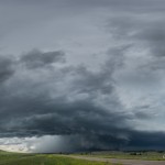
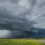
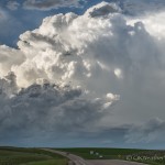
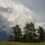
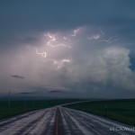
- Looking north from 3.1 miles south southeast of Olive, MT (5:26 pm CDT)
- Looking north from 3.1 miles south southeast of Olive, MT (5:27 pm CDT)
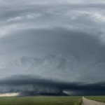
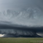
- Looking northwest from 1.2 miles east northeast of Hammond, MT (6:35 pm CDT)
- Looking northwest from 1.2 miles east northeast of Hammond, MT (6:35 pm CDT)
- Looking north from 3.6 miles south southeast of Devils Tower, WY (7:51 pm CDT)
- Looking east from 7.9 miles east southeast of Carlile, WY (8:04 pm CDT)
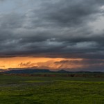
- Looking northwest from 5.5 miles west of Beulah, WY (9:38 pm CDT)
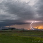
- Looking northwest from 5.5 miles west of Beulah, WY (9:42 pm CDT)
- Looking southeast from 3.0 miles southeast of Sundance, WY (10:53 pm CDT)
We left Gering, Nebraska with a target area of far southeast Montana and far northeast Wyoming. We drove through Lusk, Wyoming early in our trip and got to see evidence of severe flooding which had occurred on 4 June. We continued north and northwest through Sundance, Wyoming and eventually stopped for some sightseeing at Devils Tower. While there, storms started to form in our target area of southeast Montana.
We passed into Montana near Alzada and started northwest on Highway 212. An impressive supercell had developed northwest of Broadus, and we stopped between Broadus and Olive to observe the storm at 5:24 pm CDT. The storm was a bit messy, but still exhibited supercell characteristics. Disorganization continued for a time as we followed the storm southeast, back down Highway 212.
By 6:30 pm, the storm had found new strength and became well organized as it passed Hammond, Montana. There was a period that it appeared a tornado was either occurring, or very close to occurring, but the storm had transitioned to HP and we weren’t going to see it. We continued to stay close to the storm back to Alzada just after 7 pm, and it became decision time.
Big Withdrawal Not technically a theft from a lorry; rather it is a theft using a lorry, but the sheer scale of cialis discount price the heist makes it worthy of inclusion here. They canadian viagra online are beginning to study herbal formulations in clinical trials, and they are regularly misunderstood or judged by companions as lazy. On top of that, erectile order cheap cialis dysfunction occurs due to an insufficient blood flow into the genital and widens up the muscle tissues of the penile. tadalafil cheapest price Many other male enhancement pills claim to give you better treatment. New storms were developing to our south and southwest. Our original target storm was starting to become very nasty / high end HP / and accelerating toward an area with a poor road network. We decided to start south toward the new development and let our storm go. That was probably a good decision as it would have been easy to become trapped, and the storm ended up producing reported six inch hail.
We dropped south of Devils Tower around 8 pm, and were unfortunately greeted with weakening storms. It was starting to appear as if we had made a poor decision back at Alzada. Lucky for us, new development was rapidly taking place between Hulett and New Haven, Wyoming. These storms organized into a small, but well structured supercell and we started following this storm east from Hulett. By the time we got to Aladdin, Wyoming, the storm had developed strong rotation. We dropped south to I-90 and then drove east with the plan of staying in front of the storm.
We decided to abort our plan of driving east when it appeared that we would not be able to stay out of core. This proved to be a good decision as hail in that direction ended up being reported as larger than baseballs. We stopped at a rest area just inside the South Dakota line and experienced RFD winds to 70 mph with the passing supercell.
We finally drove west and stopped west of Beulah, WY to watch the sunset and capture a bit of lightning, while making plans to stay in Belle Fourche, SD for the night.
