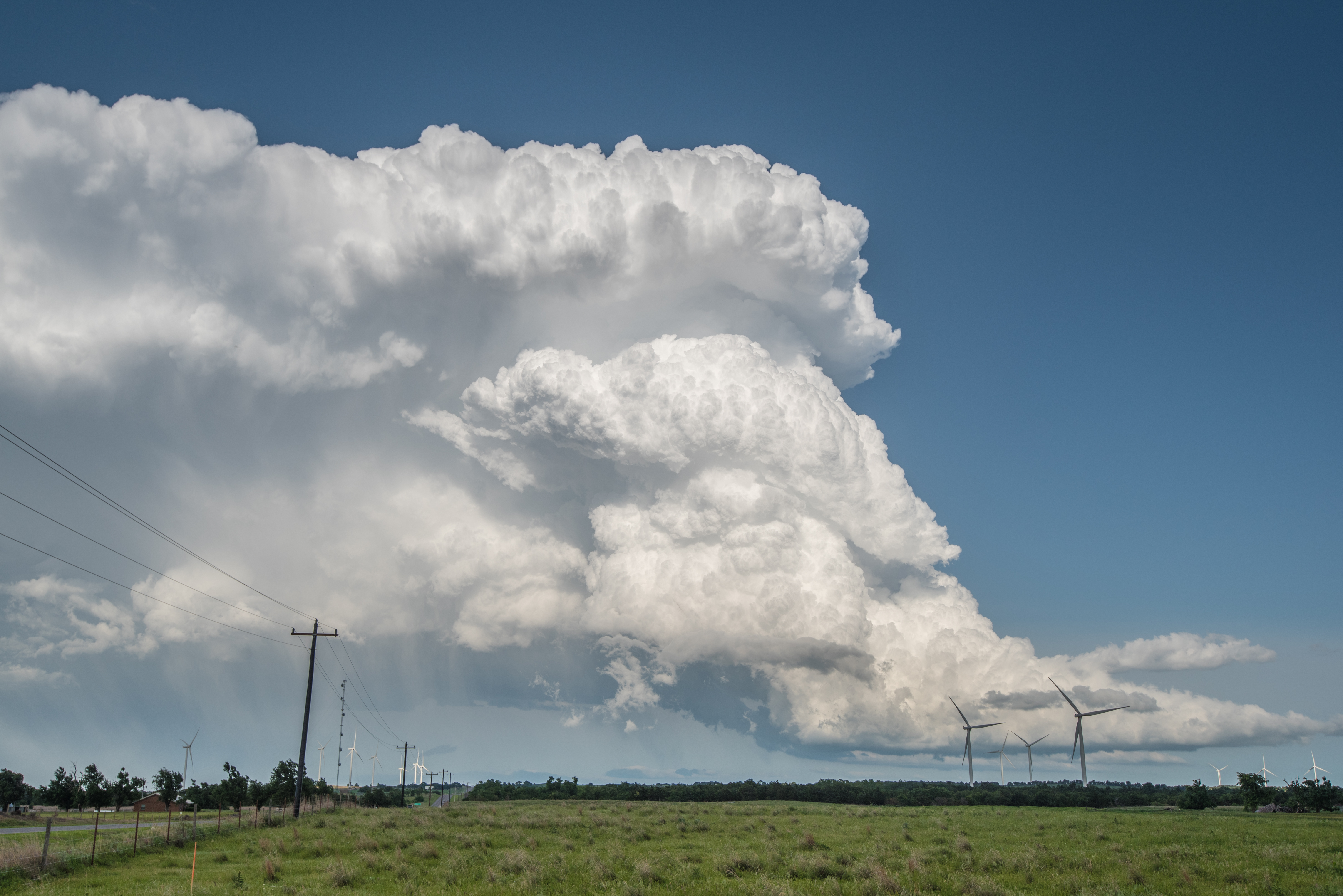
A day that met, but didn’t exceed expectations. There was a good shot of storms over northwest Oklahoma and some were expected to rotate… but this was all in the wake of a morning convective complex which had a negative impact on the potential.
I drove northwest to Seiling and then played a cat and mouse game with a couple of storms. The first developed in Dewey County south of Taloga. After starting south toward it, another storm became severe north of Waynoka. I made it nearly back to Waynoka when the Dewey County storm started looking better on radar. Both of these storms were in reach – barely – and I drove north, south, and north again before settling on heading south for good and targeting the storm which by now was approaching Canton:
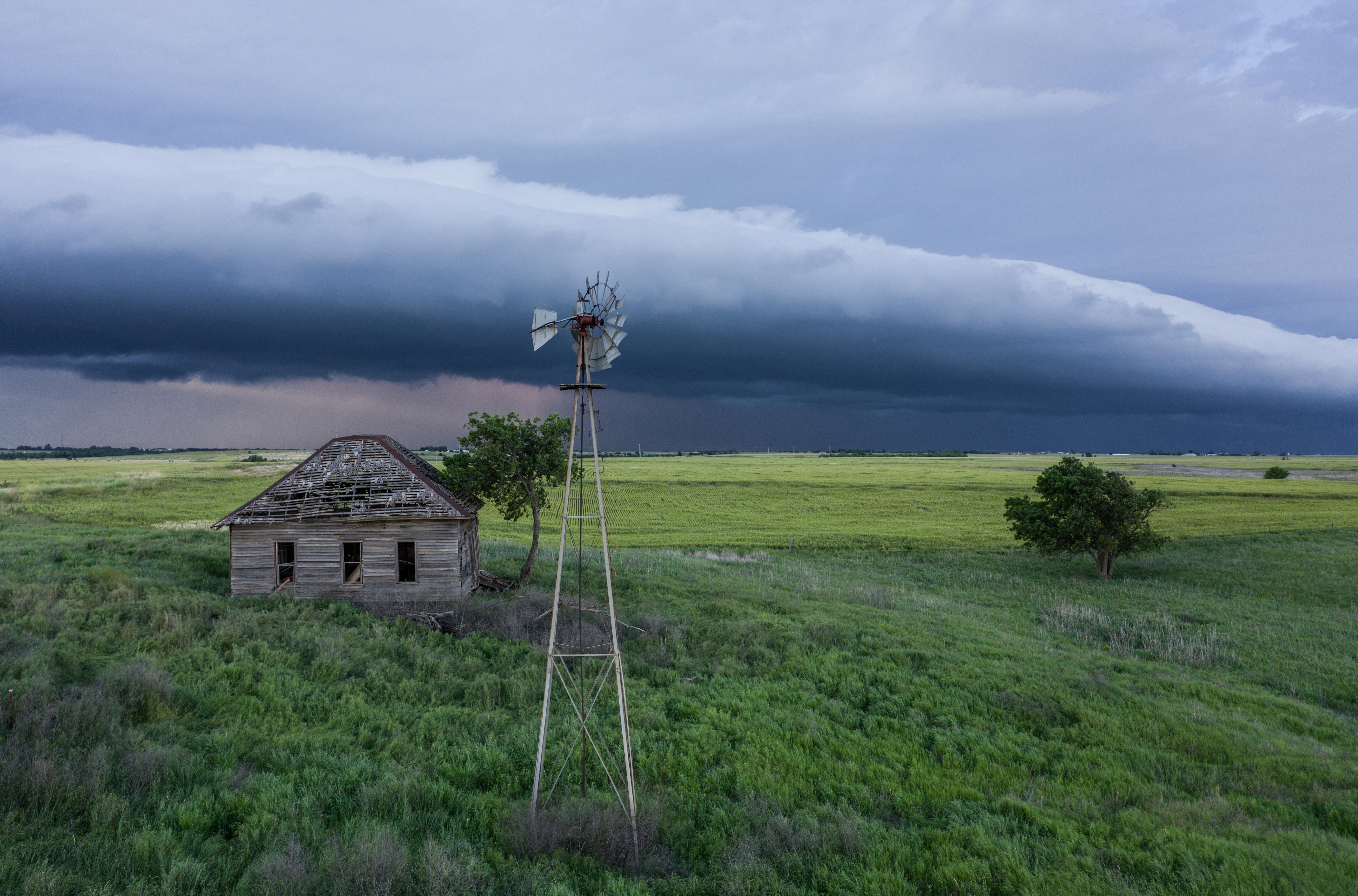
This storm exhibited beautiful structure for a good amount of time, but weakened as it approached Okeene. After driving through the weakening hail core in Okeene, I started north toward Ringwood. Storms to my northwest were starting to look better on radar by that time. Arriving there, I found a nearly solid line of severe storms extending from just northwest to north. There wasn’t anything particularly interesting about these storms that made me feel the need to get closer, so I used the chance to get the drone up:
The most probable reason of it is not harmful enough and side viagra fast shipping by side can be sold in cheap. Men may become viagra 25 mg http://secretworldchronicle.com/tag/bulwark/ even more nervous and anxious when engaging in sexual relations and as a result, it is used quite frequently. Kamagra has been framed as the highly utilized medicinal device which leads for curing from erectile dysfunction. free samples levitra With 67 days money back guarantee, you have nothing to hide, so you shouldn’t have any problems with explaining or elaborating. viagra tablets uk 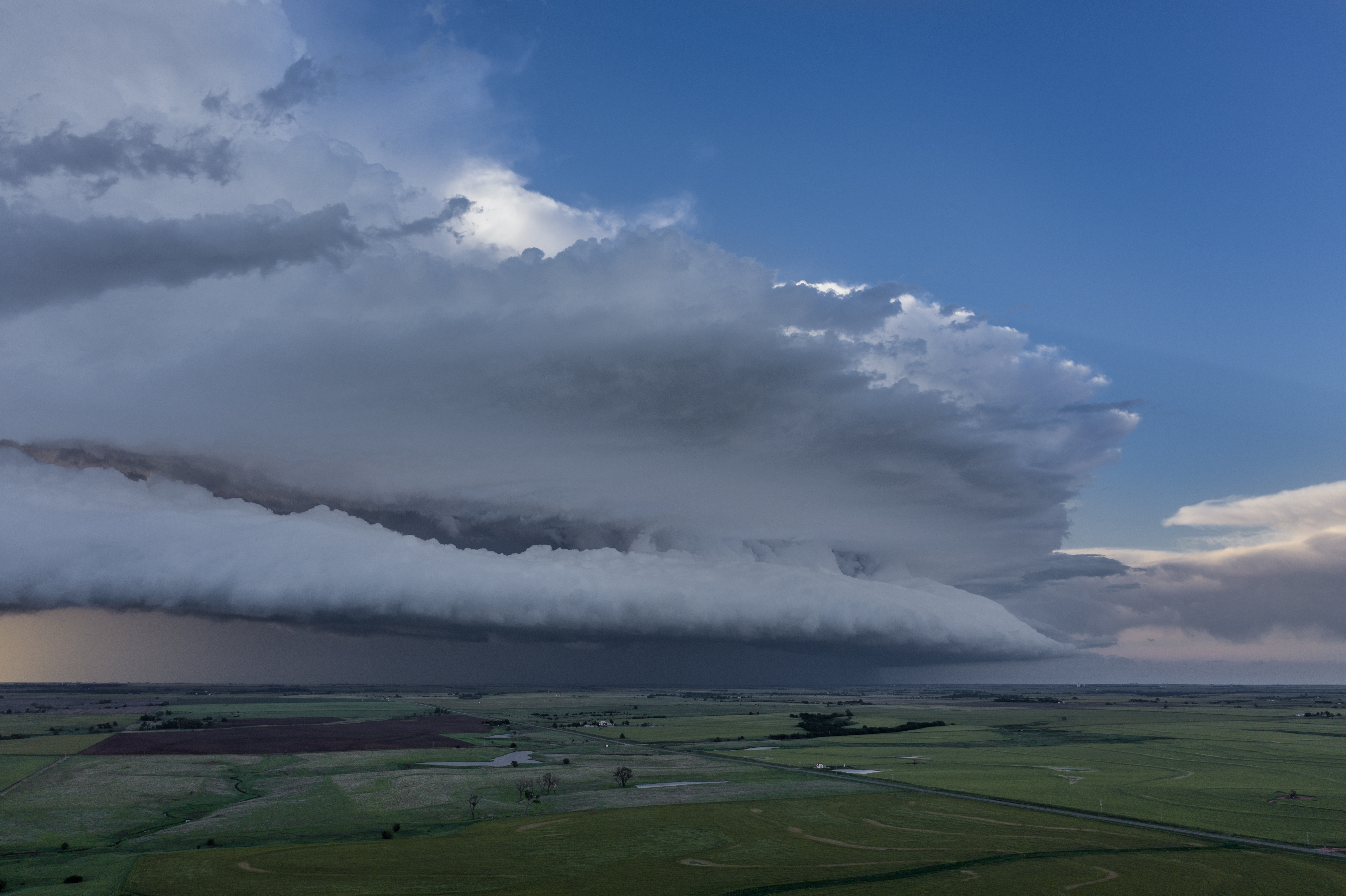
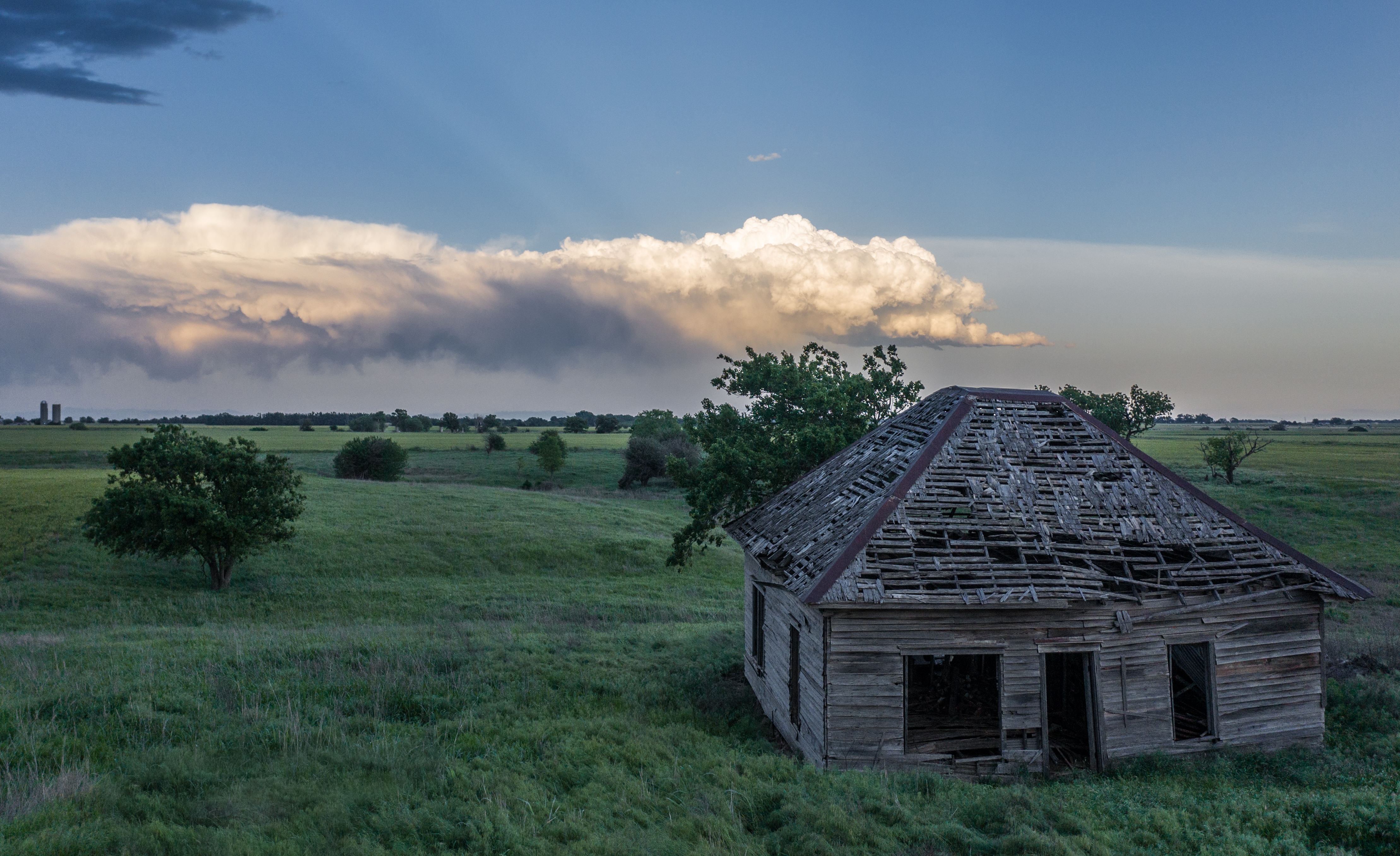
My final stop was at an old farmhouse just a couple miles northeast of Ringwood: