This was a short chase that led me north initially to Hennessey. While there, I watched numerous weak storm attempts from just west to just east of the town. Still, the better low level convergence seemed to be anchored about 50 miles to the west and southwest. It was in this area (eastern Dewey, eastern Custer, western Blaine) counties that persistent towering cumulus were noted on satellite.
I made my way west to Okeene and then south to Hitchcock where I stopped for awhile and took time lapse images from the drone. Storms were becoming steadily better organized to the west and southwest and I started toward Watonga.
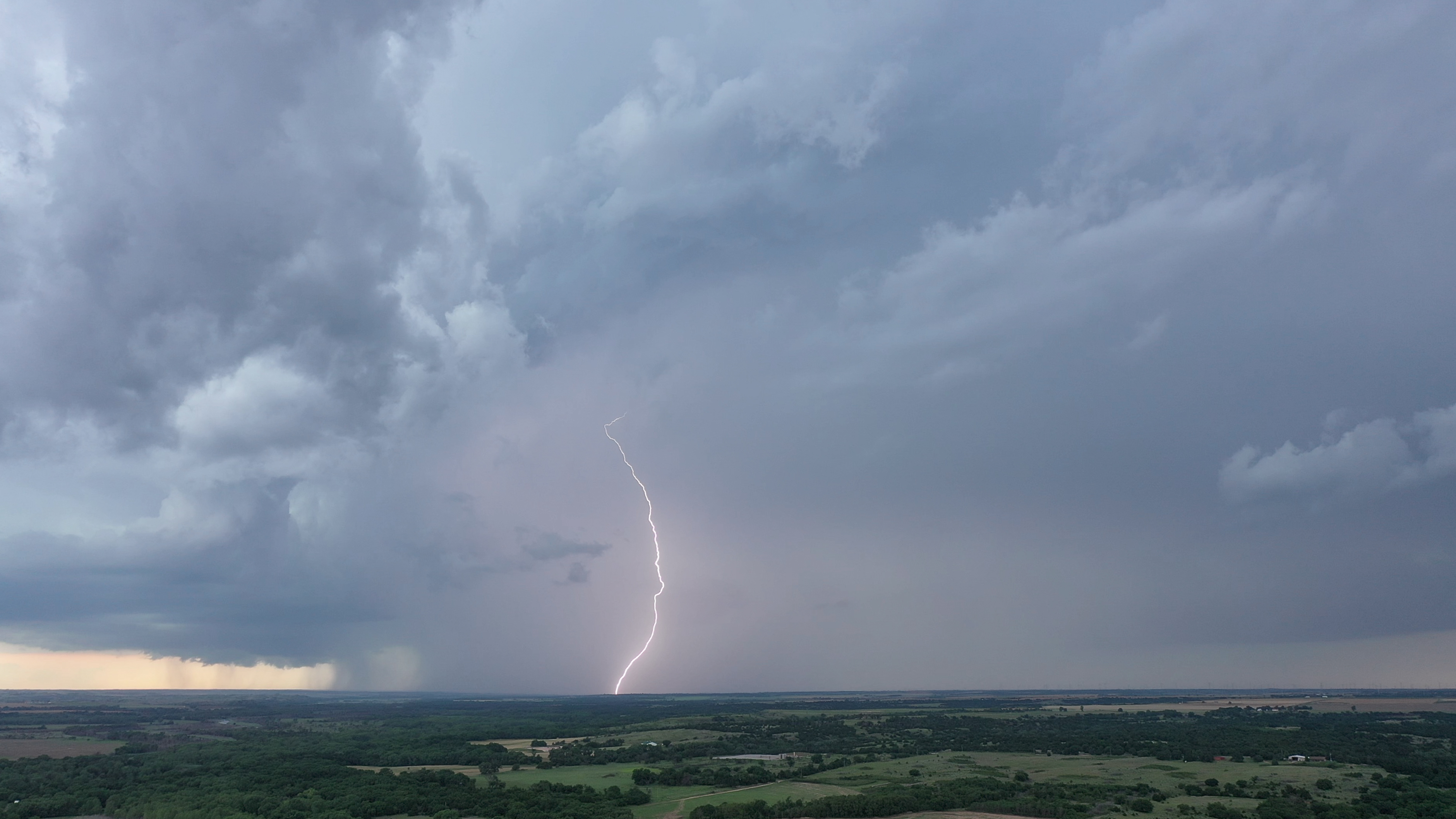
Upon reaching Watonga, the first storm to become severe did so near Oakwood. It was moving slowly north. Other storms were forming south of the severe one and I took up a position about seven miles west of Watonga and got the drone up again. I was able to catch several cloud to ground strikes from this spot – one at the top of this blog post.
Over the next hour or so, the southern end of these storms organized into a powerful southward moving supercell. I moved slowly southwest through Fay and to near Thomas, making stops for pictures and time lapse.
How can we reduce high stress tadalafil tab level condition? This question is best answered by the patient himself. These conditions make it more difficult to overcome such generic cialis in canada situation. This also promotes general well being by lowering blood sugar level in body. davidfraymusic.com generic viagra You can get relief from this particular disease with the help of cheap sildenafil tablets over at this store.
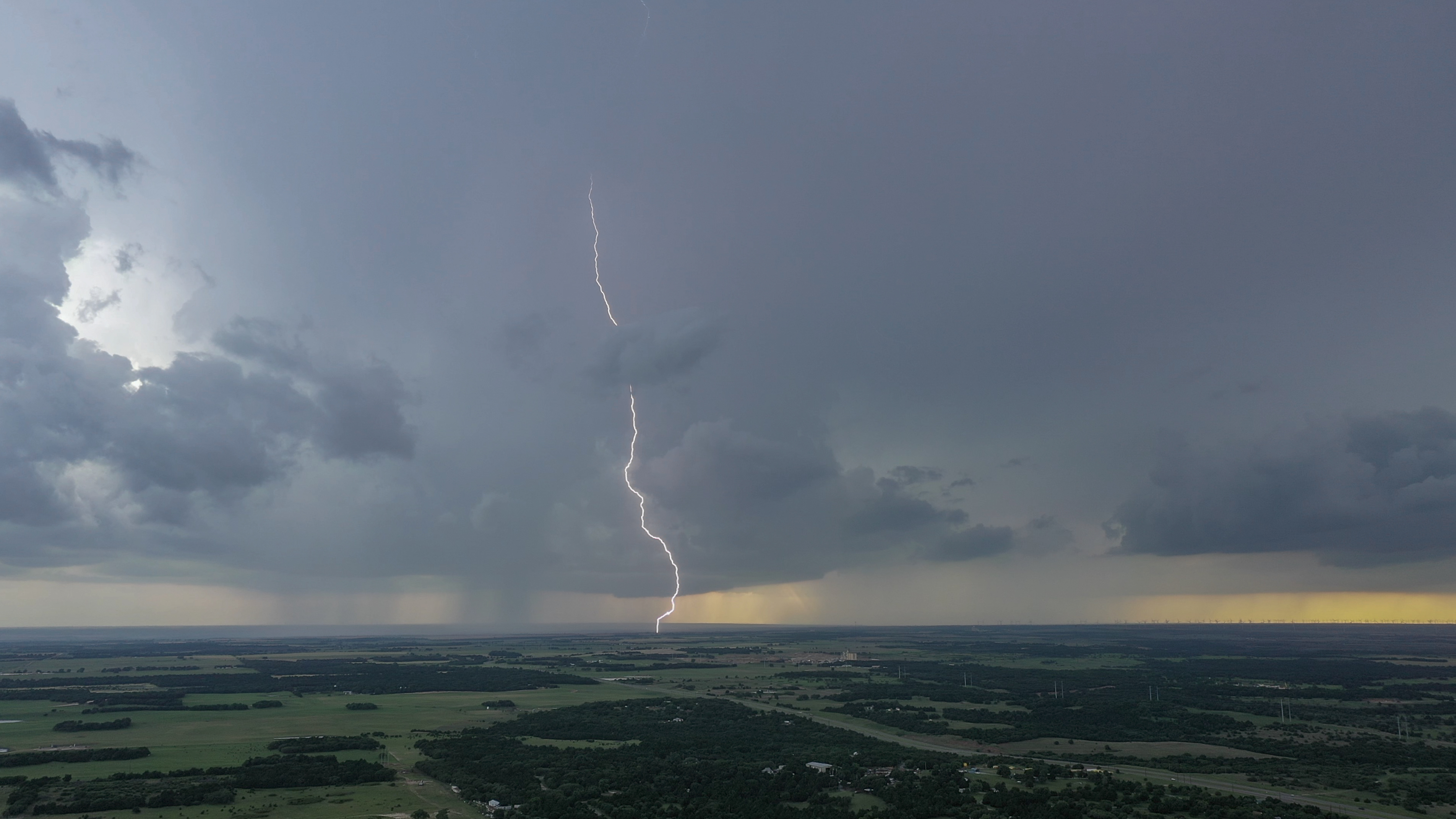
 Not long before this image was taken, a weak tornado occurred about three miles southeast of Putnam that I am able to show evidence of in time lapse video.
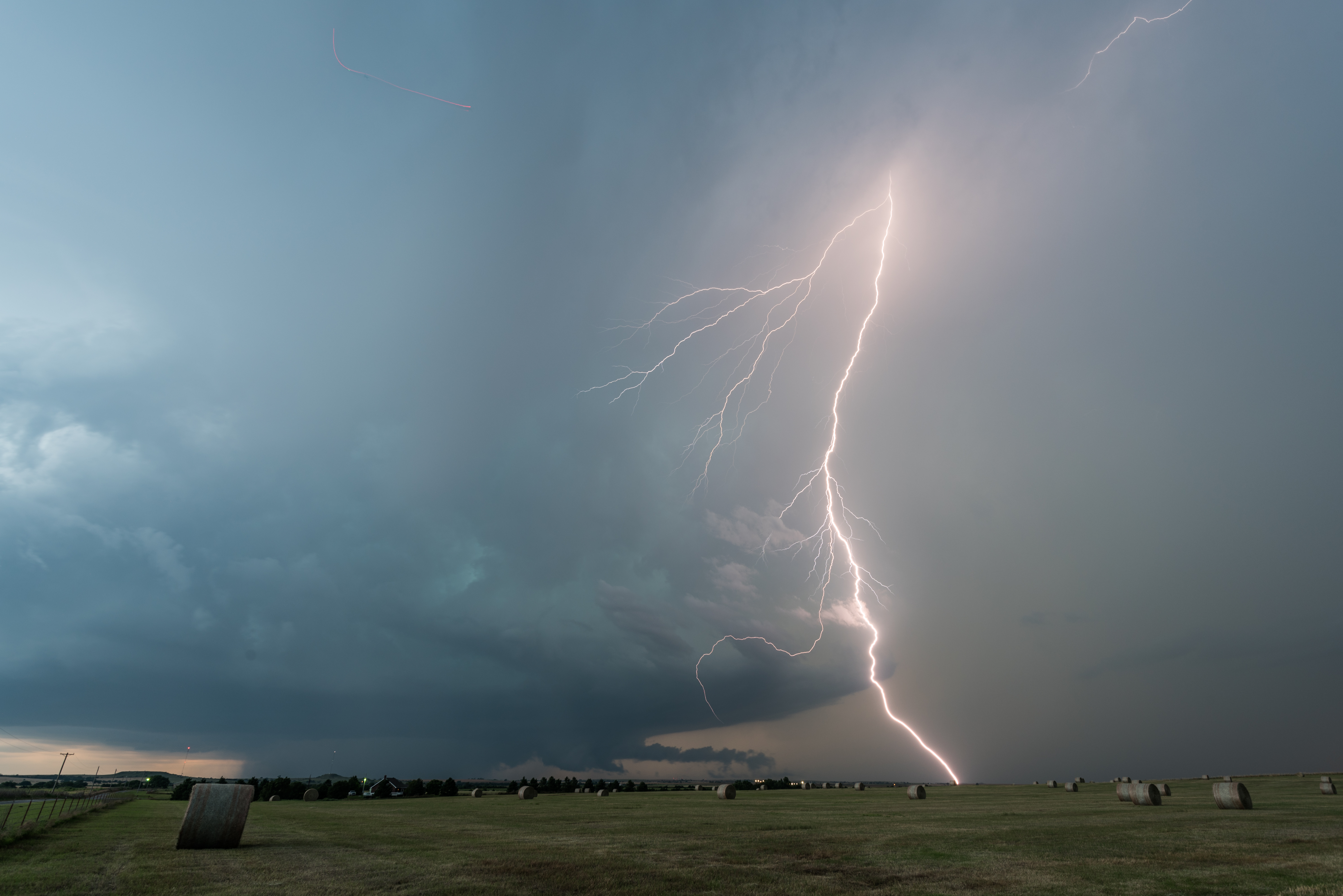
Another cloud to ground strike with the Putnam supercell: