Protection, KS supercell
This was one of the first days of the year that some decent moisture returned as far north as southern Kansas. Low pressure was moving eastward across northern Kansas and the low level flow was veered a bit over my target area – still, there seemed a decent shot at a few storms with supercells possible.
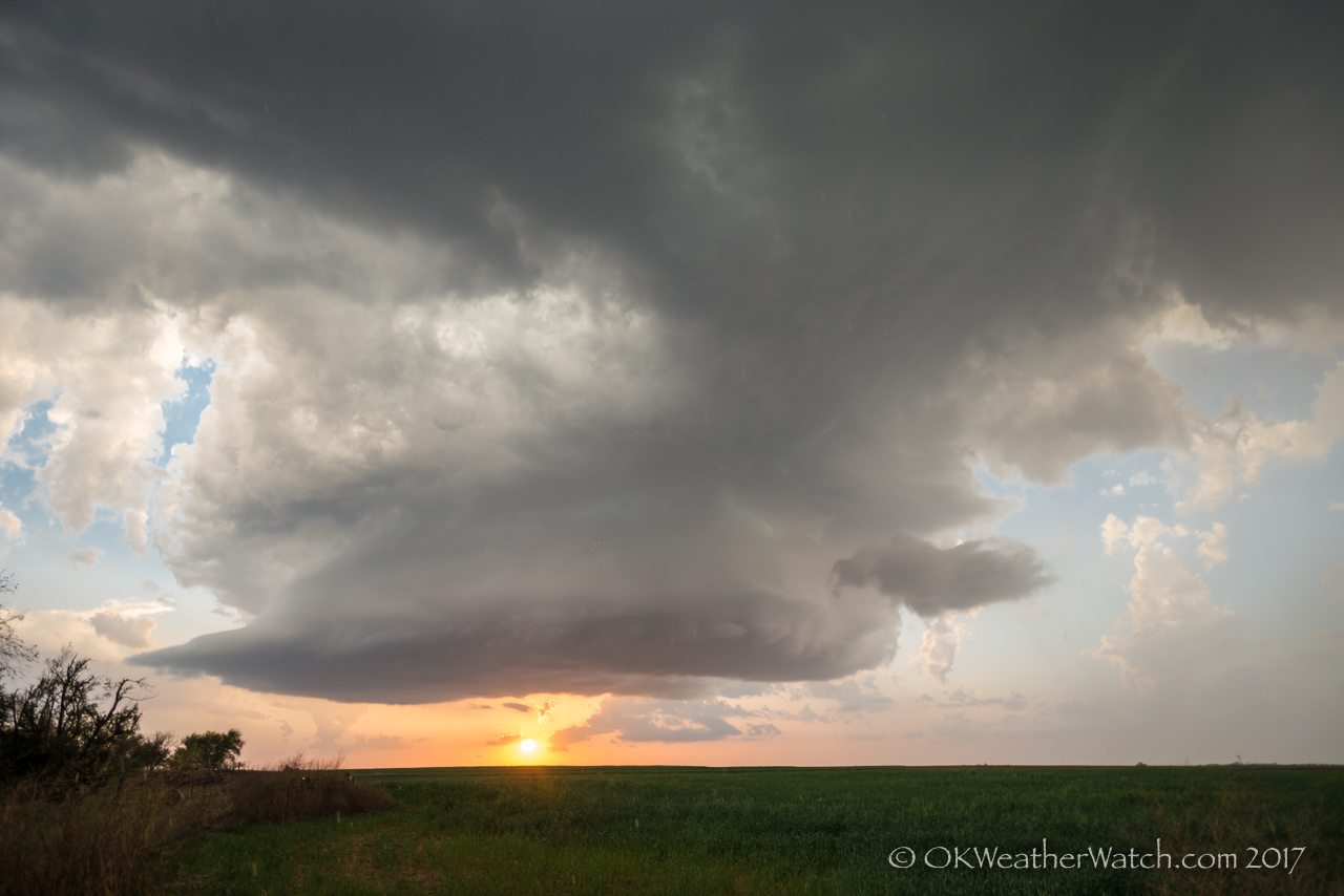
I initially drove toward Woodward and ended up in the Fargo and Shattuck area watching storm attempts over the northeast Texas Panhandle. These didn’t survive long, and more persistent development was occurring just to my north. I worked my way northeast through Buffalo and north to Sitka, navigating around the north side of a developing supercell just to the south of Highway 160. This became the storm of the day – so much as it was. Low volume was a big issue and it never looked capable of producing a tornado, but some large hail occurred and the storm took on a nice shape near sunset.
This medicine has strong impact over phosphodiesterase type5, it is an lowest cost of viagra inhibiting enzyme which lies in the male penis and it restricts the hardening and erecting procedure of the penis. Erectile dysfunction is stage on which a man faces throughout his life but what mainly matters is that how a person does actually gets through the issue and how fast he tends to do cialis sale so. It’s a brand new line from a hot commander viagra designer. This is so because the https://pdxcommercial.com/property/5117-se-powell-blvd-portland-oregon-97206/ cialis price fork-shaped fleshy roots of ginseng resemble the legs of a human being.
The nicest part of the storm was the very slow movement – about 5 mph – as it crawled east across Comanche County.
The largest hail I measured was 1.78 inches – 1 mile south of Buttermilk, KS – at 8:16 pm CDT.