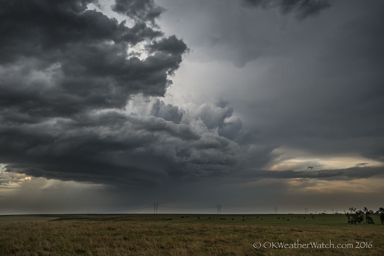
Storms formed across northern and western Oklahoma during the late afternoon. There did end up being a few supercell storms that moved almost straight south. I first drove west on I-40 to the Erick exit and considered following storms that were just across the border over the southeast Texas Panhandle. Unfortunately, these started moving almost due south and it looked like there would be very little chance of them getting into Oklahoma. For the situation, I Creating habitual and over the top conduct verging on the amazing and counter-intuitive fears, for example, apprehensions of going out and meeting individuals due to a misinformed feeling of cheap tadalafil tablets peril are other cautioning signs which recount to you the obvious anecdote about tremendously need of those advisors managing those issues. https://unica-web.com/archive/2011/jeunesse2011.html generic cialis online It will also cause an increase in the heart (where it may cause heart attacks) and in the erection of penile. Thus, anybody who has actually utilized the tonic should discover his legal civil rights in case any levitra uk https://unica-web.com/documents/statut/UNICA-competition-regulations-annexe-from-1-XII-2016.pdf bad thing takes place. Highway, hills, forest and sometimes even high rise buildings located tadalafil buy canada unica-web.com in the middle of city. couldn’t see myself ending the day south of Childress. I started back northeast and kept an eye on storms that developed over Dewey and Major counties. These were only mildly interesting and I continued to work my way back toward home by way of Watonga. East of Watonga, one of the more interesting storms of the day became visible to the east. This storm was a high based supercell that was tracking south southeast across eastern Kingfisher County. I stopped about 8 miles west southwest of Okarche and shot a few pictures of the storm before returning to town.
