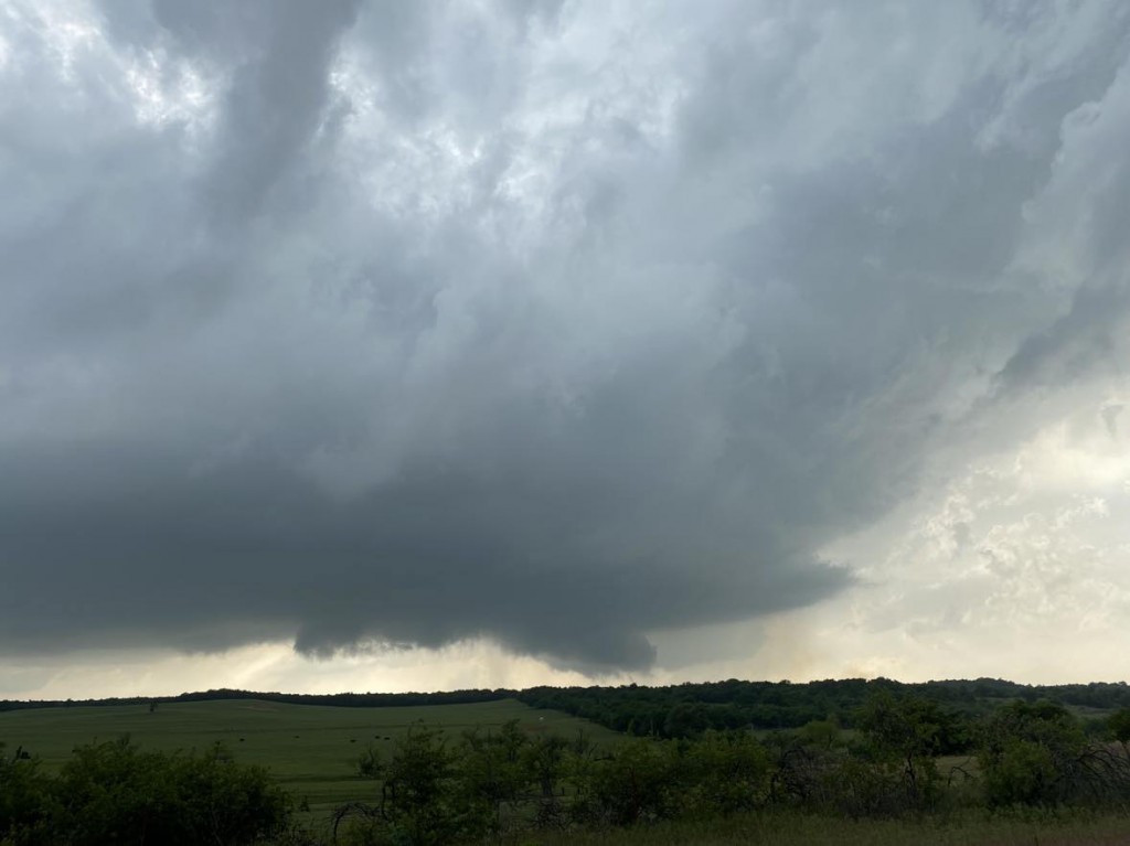
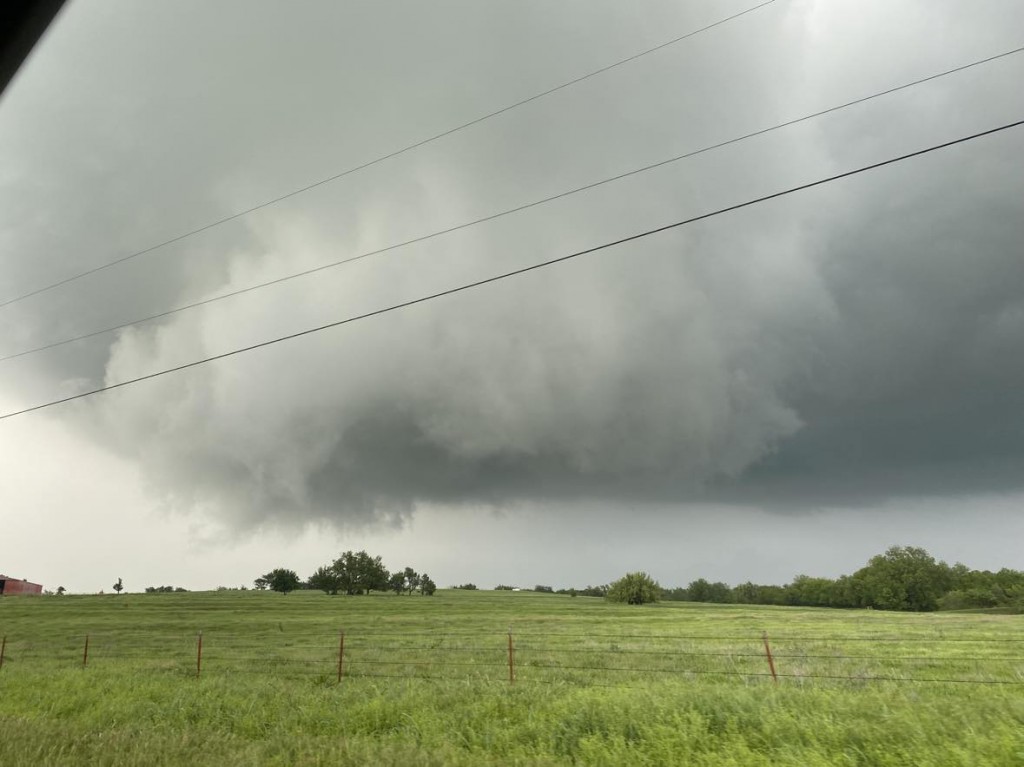
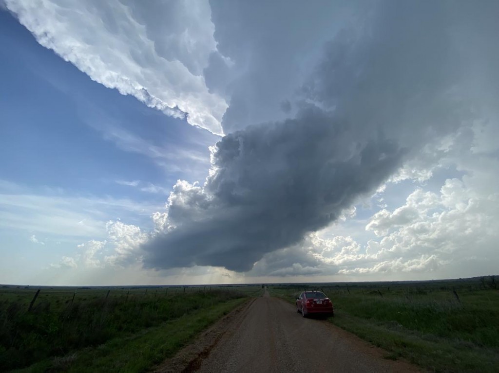
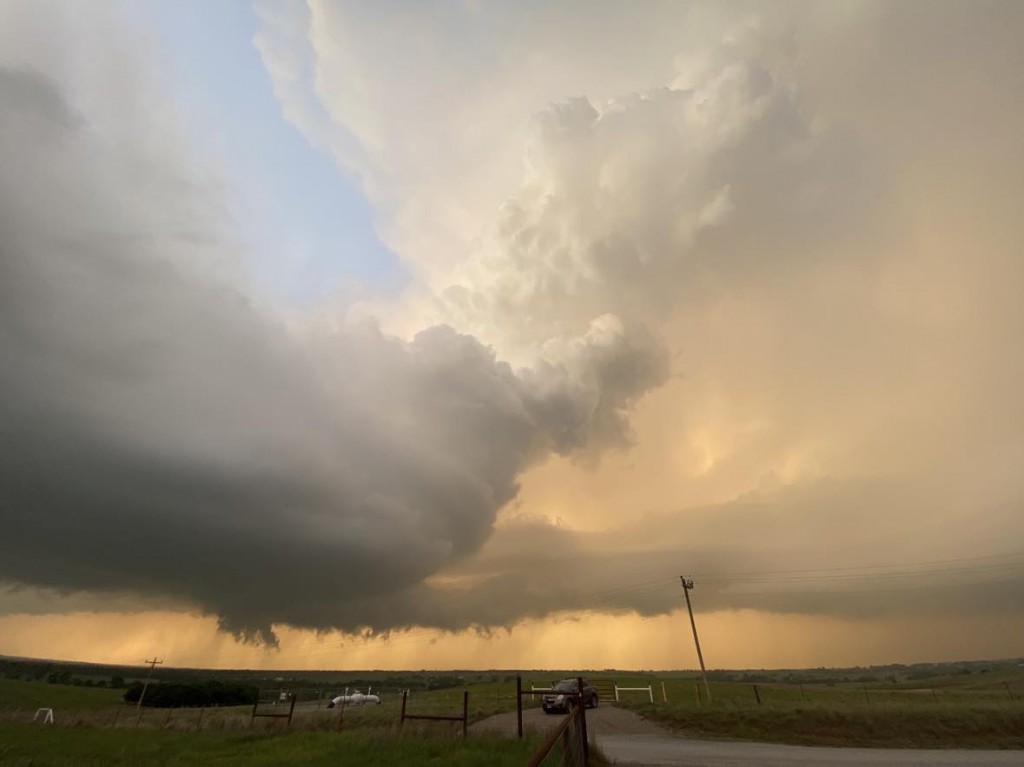
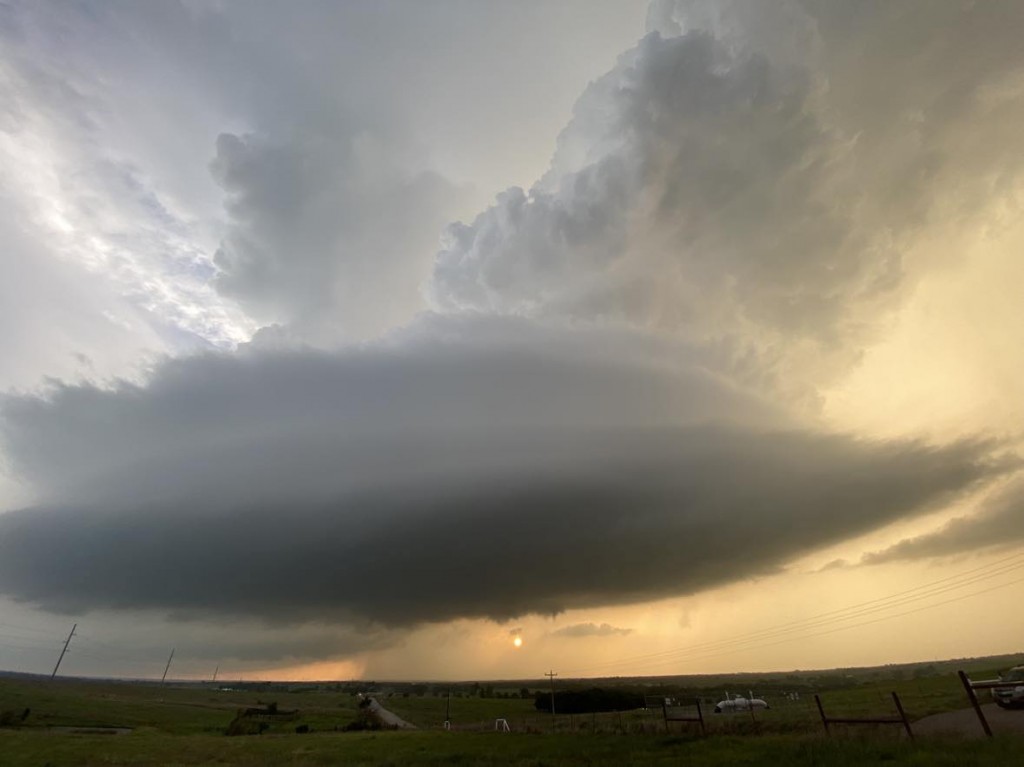
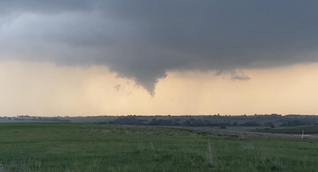
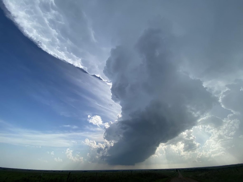
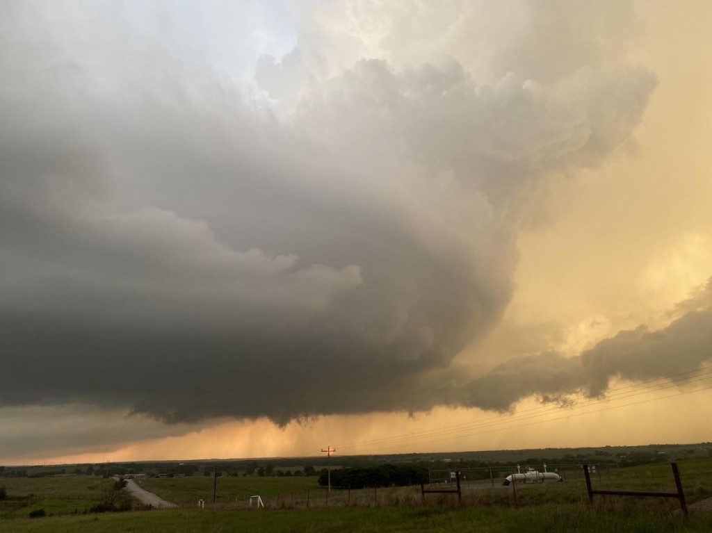
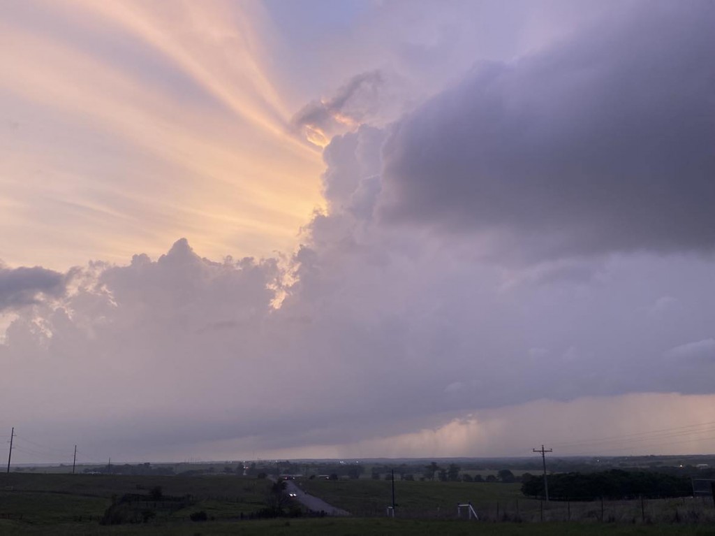
We dropped south to near the Red River southeast of Walters and then began hopping from storm to storm back northeastward through the Rush Springs and Ninnekah areas. Despite a high amount of moisture and instability, storms struggled most of the afternoon and evening. They either had small volume in the mid levels despite fat bases, or skinny bases and loaded up upstairs. Overall, there was decent structure to be had and we had a few times where a tornado looked possible.
